2000s (21st Century) Maps of Franklin County, Tennessee
Explore 100 historic maps of Franklin County from the 2000s (21st Century). These maps offer a rare glimpse into what life looked like during the 2000s — showing old roads, neighborhoods, homes, and landmarks that have changed or disappeared over time.
Whether you're researching your family's past, planning a metal detecting trip, or studying how Franklin County's landscape evolved across the 2000s, these high-resolution maps are a powerful tool for exploring the history of this region.
- Focus on a specific era: All maps on this page are from the 2000s, giving you a focused view of this time period.
- See what’s changed: Compare century-old streets, trails, and buildings to today's modern landscape using overlays and satellite layers.
- Research with precision: Use these maps for genealogy, historical research, land use analysis, or educational projects.
- View, download, or print: Maps are fully viewable online in high resolution, and can be downloaded or printed for your own records.
Start exploring Franklin County's history through authentic maps from the 2000s. This is your window into the past.
Franklin County, TN maps
(100)- 2010 Map of King Cove, 2010 Print
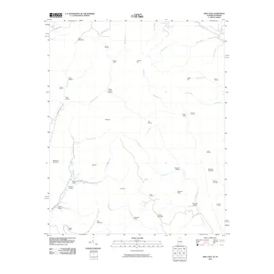 2010 King Cove2010 Print · USGSCrossing the Alabama and Tennessee line, this 2010 survey shows a landscape of deep coves and family-named hollows. Genealogists can locate several remote burial grounds, including Bethel Cemetery, Crowell Cemetery, and King Cove Cemetery.
 - 2010 Map of Huntland, 2010 Print
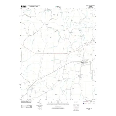 2010 Huntland2010 Print · USGSHuntland and the southern Franklin County countryside are captured here in a period of rural stability. Researchers can trace ancestral locations through dozens of named burial sites like Old Beans Creek Cemetery and Hunt-Larkin Cemetery or find old homesites near Rich Crossing.
 - 2010 Map of Lynchburg East, 2010 Print
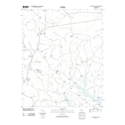 2010 Lynchburg East2010 Print · USGSThe hill country south of Tullahoma is mapped here in the early twenty-first century, showing the intricate ridges and hollows that drain into Murray Lake. Genealogists can locate over twenty burial sites, including the County Line Cemetery, Pioneer Cemetery, and Old Bethel Cemetery.
 - 2010 Map of Lois, 2010 Print
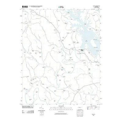 2010 Lois2010 Print · USGSThe Elk River valley is captured here in the early twenty-first century as the waters of Murray Lake fill the deep hollows around the Tims Ford Dam. Local researchers can locate dozens of ancestral burial grounds, including Lois Cemetery, Brownington Cemetery, and Marble Plains Cemetery.
 - 2010 Map of Hytop, 2010 Print
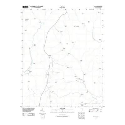 2010 Hytop2010 Print · USGSHytop and the Jackson County highlands are captured here in the early twenty-first century as a landscape of deep hollows and family homesteads. Genealogists and local historians can locate several burial sites including Knight Cemetery and Culver Cemetery near the striking Walls of Jericho.
 - 2010 Map of Estill Fork, 2010 Print
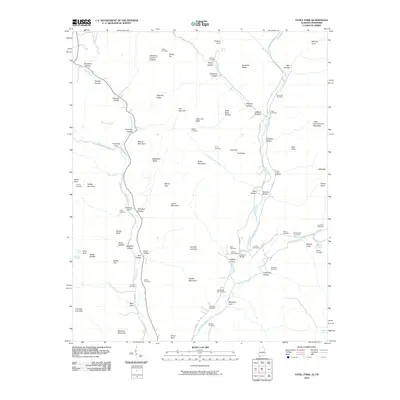 2010 Estill Fork2010 Print · USGSAlabama's mountain coves and hollows are documented here during the early twenty-first century, showing a landscape shaped by the Estill Fork and Paint Rock River. Researchers can locate dozens of family burial sites including Old Bostick Hill Cemetery, McCullough Cemetery, and Swaim Cemetery.
 - 2010 Map of Sewanee, 2010 Print
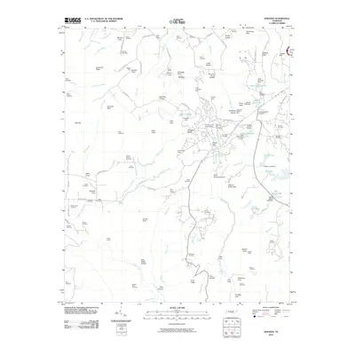 2010 Sewanee2010 Print · USGSSewanee and the Cumberland Plateau are captured here in the early twenty-first century as the academic and local communities expanded. Genealogists can trace family landmarks like Swann Cemetery and Marlow Field Cemetery or locate industrial sites such as the Dodson Mine.
 - 2010 Map of Orme, 2010 Print
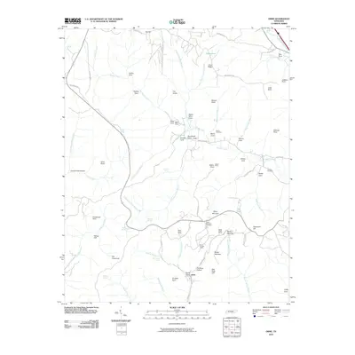 2010 Orme2010 Print · USGSThe Tennessee highlands near Orme are presented in the early 21st century, showing a landscape of coal mining and deep mountain coves. Researchers can trace industrial sites like Battle Creek Mines and family history at Thomas Cemetery or Beene Cemetery.
 - 2010 Map of Monteagle, 2010 Print
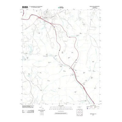 2010 Monteagle2010 Print · USGSMonteagle and the surrounding Cumberland Plateau coves are documented here in the early twenty-first century. Family researchers can locate historical burial grounds like Lappin Cemetery and landmarks such as Martin Springs or Jumpoff Falls.
 - 2010 Map of Alto, 2010 Print
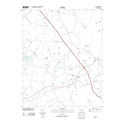 2010 Alto2010 Print · USGSPelham Valley and the Elk River lowlands are captured here in the early twenty-first century, showing a landscape rich in family history. Researchers can locate dozens of ancestral burial sites like Alto Cemetery and Sheid Cemetery or trace historical river crossings at Dabbs Ford Bridge.
 - 2010 Map of Sinking Cove, 2010 Print
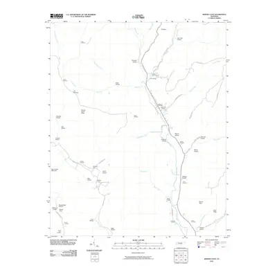 2010 Sinking Cove2010 Print · USGSFranklin County's rugged coves and ridges are captured here during the early twenty-first century. Genealogists can locate numerous family burial sites, from Crownover and Gonce to the Sherwood Post Office and the unique geography of Sinking Cove.
 - 2010 Map of Belvidere, 2010 Print
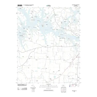 2010 Belvidere2010 Print · USGSFranklin County's shoreline and rural interior are captured here in the early twenty-first century, showing a landscape shaped by the waters of Murray Lake. Genealogists and local historians can locate dozens of small burial sites and landmarks including Kaserman Switch, Scivally-Green Cemetery, and the Belvidere Post Office.
 - 2010 Map of Winchester, 2010 Print
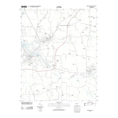 2010 Winchester2010 Print · USGSFranklin County communities are documented here in the early twenty-first century, centered on the historic rail corridor connecting Winchester and Cowan. Genealogists can trace family lineage through dozens of named sites like Mount Garner Cemetery and the Decherd Negro Cemetery.
 - 2010 Map of Beans Creek, 2010 Print
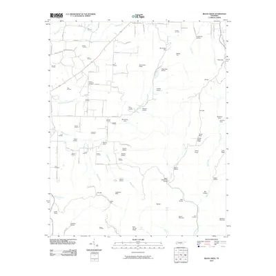 2010 Beans Creek2010 Print · USGSFranklin County's rural coves and ridges are documented in this 2010 survey, capturing a landscape deeply tied to family heritage. Genealogists can trace local roots through numerous sites like Polly Crockett Cemetery, Motlow Cove, and the Belvidere Post Office.
 - 2010 Map of Tullahoma, 2010 Print
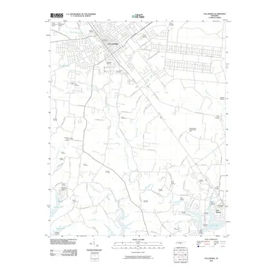 2010 Tullahoma2010 Print · USGSTullahoma and Estill Springs are captured in the early twenty-first century, showcasing a transition from rural farmland to expanding municipal centers. Researchers can locate dozens of burial grounds like Camp Forrest Cemetery and Mount Olivet Cemetery or trace the inlets of Murray Lake.
 - 2010 Map of Pitcher Ridge, 2010 Print
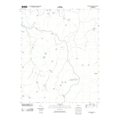 2010 Pitcher Ridge2010 Print · USGSFranklin County's high ridges and deep hollows are captured here during the early twenty-first century. Genealogists can trace family heritage at Keith Spring Cemetery or Holder Cemetery and locate landmarks like Bear Hollow Mountain and Hickory Ridge.
 - 2010 Map of Doran Cove, 2010 Print
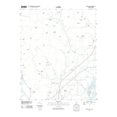 2010 Doran Cove2010 Print · USGSThe Alabama-Tennessee borderlands at the start of the 21st century reveal a landscape of deep mountain coves and valley mines. Genealogists and historians can trace numerous family burial sites like Rocky Spring Cemetery and Walker Cemetery, or locate old industrial works at Montague Mines.
 - 2010 Map of Capitol Hill, 2010 Print
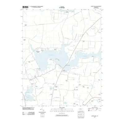 2010 Capitol Hill2010 Print · USGSFranklin County's landscape shows a unique mix of mid-century aerospace development and deep pioneer roots. Genealogists can trace family history through dozens of sites like Duncans Stagecoach Cemetery, Old Bethpage Cemetery, and Morris Ferry Bridge.
 - 2010 Map of Eureka, 2010 Print
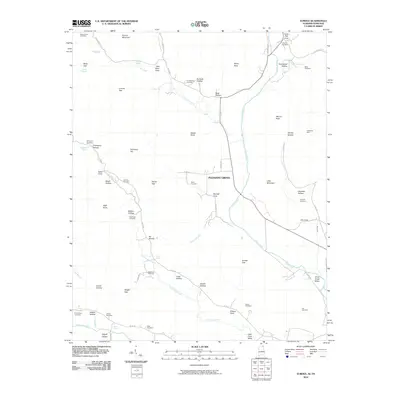 2010 Eureka2010 Print · USGSThe borderlands of Alabama and Tennessee come into focus during the early twenty-first century, centered on the community of Pleasant Grove. Genealogists and local historians can trace family lineages through numerous sites like McCrary Cemetery, Allison Cemetery, and the Sparkman Mine.
 - 2011 Map of Hytop, 2011 Print
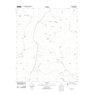 2011 Hytop2011 Print · USGSThe high plateau country of Jackson County comes into focus in this 2011 record of the Alabama-Tennessee borderlands. Genealogists and historians can trace the remote reaches of the Walls of Jericho and locate secluded family landmarks like Haddon Cemetery and Clark Cemetery.
 - 2011 Map of Eureka, 2011 Print
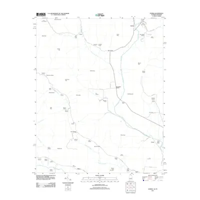 2011 Eureka2011 Print · USGSThe rural borderlands of Alabama and Tennessee are captured here in the early twenty-first century. Genealogists can trace family heritage through numerous remote burial sites such as McCrary Cemetery, Gonce Cemetery, and the settlement at Rash.
 - 2011 Map of King Cove, 2011 Print
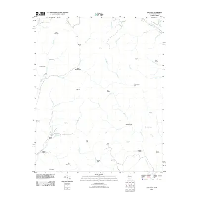 2011 King Cove2011 Print · USGSThe Alabama-Tennessee borderlands are captured here in the early twenty-first century, showing a landscape of high peaks and isolated coves. Researchers can trace family history through sites like Hudson Cemetery, Hambrick Sinks, and King Cove.
 - 2011 Map of Doran Cove, 2011 Print
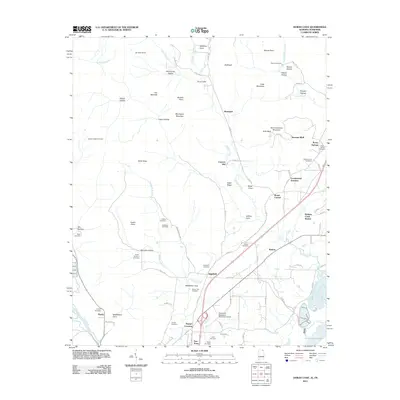 2011 Doran Cove2011 Print · USGSJackson County, Alabama, is documented here in the early twenty-first century as industrial river-valley sites meet the steep slopes of the Cumberland Plateau. Genealogists can locate many family burial grounds, such as Abbott Chapel Cemetery, or trace local rail history at Cumberland Junction and Widows Creek Station.
 - 2011 Map of Estill Fork, 2011 Print
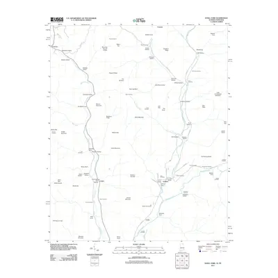 2011 Estill Fork2011 Print · USGSThe Alabama-Tennessee borderlands appear here in the early twenty-first century, centered on the drainage of the Paint Rock River. Genealogists can trace family names across dozens of sites like Sisk Cemetery, Butler Cemetery, and the settlement of Francisco.
 - 2013 Map of Sewanee, 2013 Print
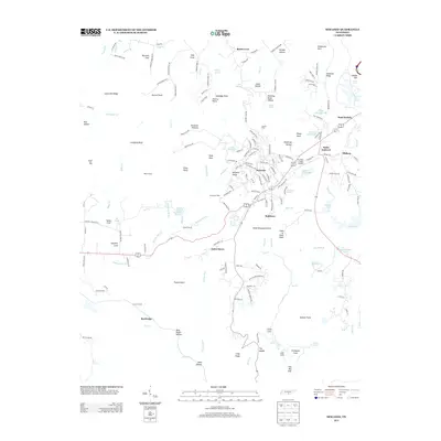 2013 Sewanee2013 Print · USGSThe Sewanee Plateau in 2013 is a landscape of high academic centers and deep, historically named coves. Researchers can trace the layout of Sewanee and Saint Andrews or find family landmarks like Bennett Cove and Billy Ought Hollow.
Showing maps 1-25 of 100
Top cities of Franklin County
- Winchester historical maps
- Sewanee historical maps
- Estill Springs historical maps
- Decherd historical maps
- Cowan historical maps
- Huntland historical maps
Frequently asked questions
- What are the different types of historical maps available for Franklin County?
- What is the oldest map of Franklin County?
- Where can I purchase historical maps of Franklin County for my home or office?
- Where can I download high-res historical maps of Franklin County?
- Are there historical topographic maps available for Franklin County?
- Is there historical aerial imagery available for Franklin County?
- Where are historical maps of Franklin County sourced from?