2020s Maps of Franklin County, Tennessee
Explore 24 historic maps of Franklin County from the 2020s. These maps offer a rare glimpse into what life looked like during the 2020s — showing old roads, neighborhoods, homes, and landmarks that have changed or disappeared over time.
Whether you're researching your family's past, planning a metal detecting trip, or studying how Franklin County's landscape evolved across the 2020s, these high-resolution maps are a powerful tool for exploring the history of this region.
- Focus on a specific era: All maps on this page are from the 2020s, giving you a focused view of this time period.
- See what’s changed: Compare century-old streets, trails, and buildings to today's modern landscape using overlays and satellite layers.
- Research with precision: Use these maps for genealogy, historical research, land use analysis, or educational projects.
- View, download, or print: Maps are fully viewable online in high resolution, and can be downloaded or printed for your own records.
Start exploring Franklin County's history through authentic maps from the 2020s. This is your window into the past.
Franklin County, TN maps
(24)- 2020 Map of Eureka, 2020 Print
 2020 Eureka2020 Print · USGSThe Alabama and Tennessee borderlands near Gonce are detailed here as they appeared in recent years. Genealogists can trace family heritage through numerous rural burial sites including Centennial Cem, Willis Cem, and Mount Gilead Cem across this highland terrain.
 - 2020 Map of Doran Cove, 2020 Print
 2020 Doran Cove2020 Print · USGSIn the valley of the Tennessee River during the early twenty-first century, the landscape remains defined by its deep caves and family-named homesteads. Genealogists can locate numerous family burial sites like Ridley Family Cem and Potts Cem near Russell Cave National Monument.
 - 2020 Map of Estill Fork, 2020 Print
 2020 Estill Fork2020 Print · USGSThe Alabama-Tennessee state line divides this upland territory during the late twenty-teens, showing the deeply etched valleys of the Larkin Fork. Genealogists can locate numerous family burial sites, including Old Bostick Hill Cem and Prince Cem, near the settlement of Estillfork.
 - 2020 Map of Hytop, 2020 Print
 2020 Hytop2020 Print · USGSJackson County's high country is captured here in the early twenty-first century, showing the rural communities along the Tennessee line. Researchers can trace family history through numerous burial sites like Hytop Cem and Knight Cem or explore the trails near the Walls of Jericho.
 - 2020 Map of King Cove, 2020 Print
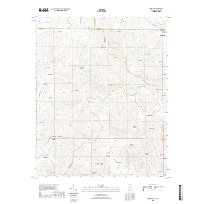 2020 King Cove2020 Print · USGSMadison County, Alabama, and its border with Tennessee are shown in the 2020s, revealing a complex landscape of hollows and high mountain ridges. Genealogists can trace family burial sites at Hudson Cem, Hambrick Sinks Cem, and King Cove Cem.
 - 2022 Map of Orme, 2022 Print
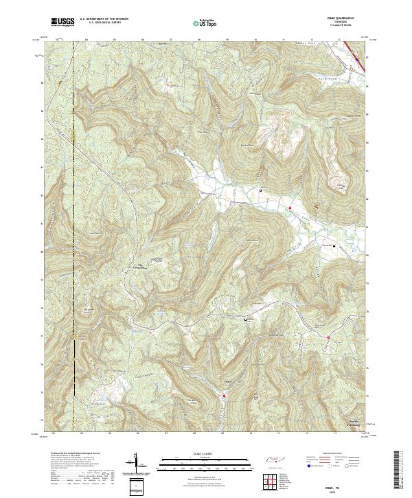 2022 Orme2022 Print · USGSThe Tennessee mountains near the Alabama border reveal a landscape of deep coves and ridge-top routes at the start of the 2020s. Genealogists and historians can trace family-named sites like Beene Cem or the settlement at Orme and follow old paths like Stagecoach Rd.
 - 2022 Map of Sinking Cove, 2022 Print
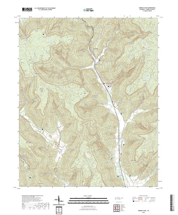 2022 Sinking Cove2022 Print · USGSThe Crow Creek Valley and the high Cumberland Plateau meet in this modern survey of south-central Tennessee. Local historians can trace family plots at Garner Cem and Willard Cem, or locate the specific topography of Sinking Cove and Tantallon.
 - 2022 Map of Winchester, 2022 Print
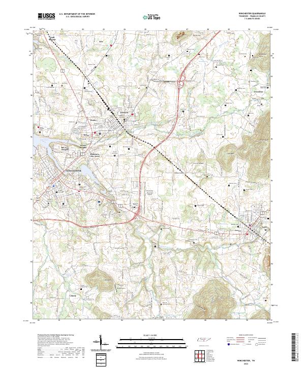 2022 Winchester2022 Print · USGSFranklin County's central corridor comes into focus in the early 2020s, centered on the growing hubs of WINCHESTER and Decherd. Genealogists and researchers can trace dozens of burial sites and family landmarks, from the Mount Garner Cem to the Mary Sharp Sch.
 - 2022 Map of Beans Creek, 2022 Print
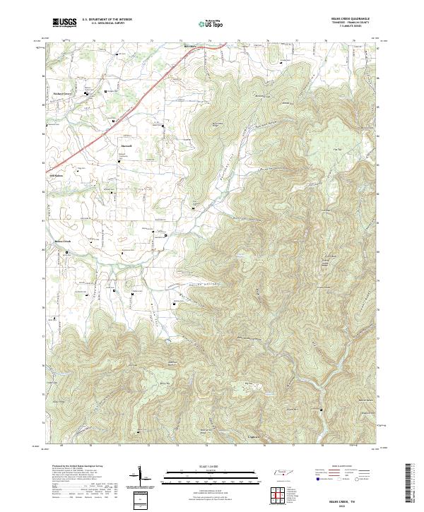 2022 Beans Creek2022 Print · USGSFranklin County's rural character and family history are preserved in this recent survey of the settlements south of Winchester. Genealogists can trace family lines through numerous burial sites like Polly Crockett Cem and Old Stovall Cem near Belvidere.
 - 2022 Map of Pitcher Ridge, 2022 Print
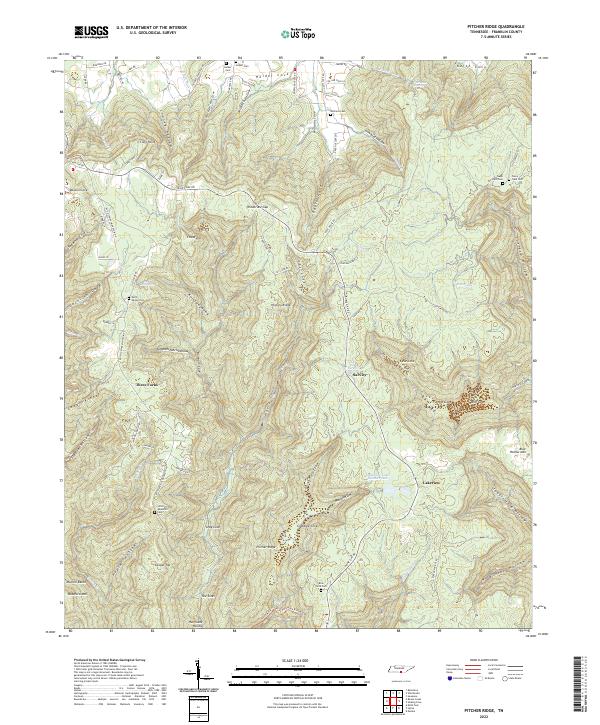 2022 Pitcher Ridge2022 Print · USGSThe highland coves and ridges of Franklin County come into focus in this recent survey of the Tennessee mountains. Genealogists and historians can trace family lineages through numerous local burial sites like Keith Spring Cem and Holder Cem or locate the springs at Sal City.
 - 2022 Map of Alto, 2022 Print
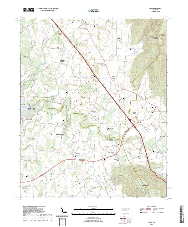 2022 Alto2022 Print · USGSThe Tennessee landscape south of the Highland Rim is captured here in the early twenty-first century, showing the rural communities of Prairie Plains and Pelham Valley. Genealogists can trace family heritage through dozens of local burial grounds like Alto Cem, Sherrill Cem, and Swann Cem.
 - 2022 Map of Monteagle, 2022 Print
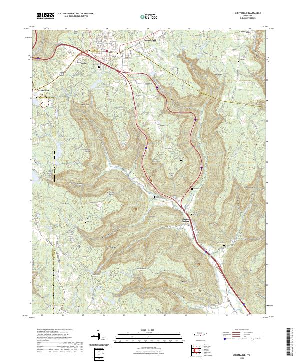 2022 Monteagle2022 Print · USGSThe heights of the Cumberland Plateau are captured here in the 2020s as transportation routes intersect at Monteagle. Researchers can trace family history through numerous rural burial sites like Lappin Cem and White Cem or locate landmarks like Sand Switch.
 - 2022 Map of Sewanee, 2022 Print
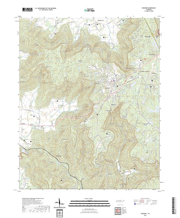 2022 Sewanee2022 Print · USGSThe Sewanee plateau and the Cumberland mountain country are mapped here in the early 2020s, showing the intersection of academic life and deep valley settlements. Researchers can locate University of the South landmarks alongside family sites like Sewell - Bowers Cem and the Natural Bridge.
 - 2022 Map of Capitol Hill, 2022 Print
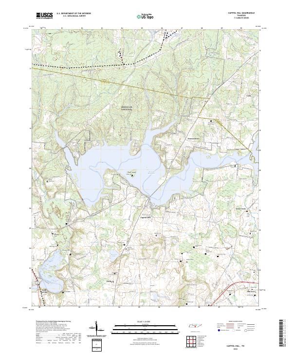 2022 Capitol Hill2022 Print · USGSThe reservoirs and rural cemeteries of southern Tennessee are shown here in modern detail. Genealogists can trace family heritage at Duncans Stagecoach Cem, Old Bethpage Cem, and the community of Duncantown.
 - 2022 Map of Lynchburg East, 2022 Print
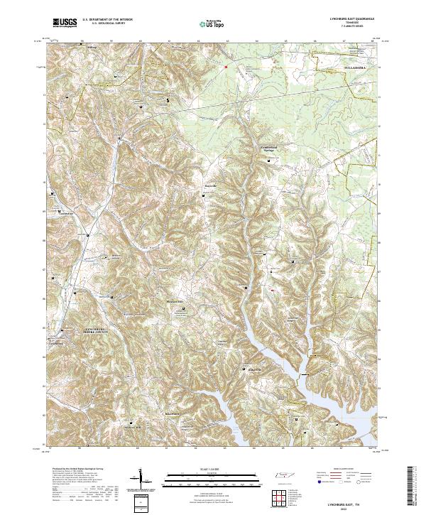 2022 Lynchburg East2022 Print · USGSMoore County in the early twenty-first century remains defined by its deep hollows and the historic seat at Lynchburg. Researchers can trace local lineage through numerous family burial sites like Dance Cem or visit the campus of Motlow State Community College.
 - 2022 Map of Tullahoma, 2022 Print
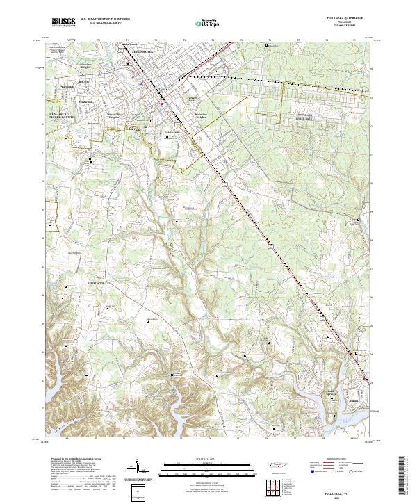 2022 Tullahoma2022 Print · USGSTullahoma and Estill Springs are captured in the early 2020s, revealing a landscape where modern aviation and residential growth meet deep-rooted local history. Genealogists can locate family landmarks like Maplewood Cem, Evergreen Cem, and the historic Camp Forrest Cem near the Elk River.
 - 2022 Map of Belvidere, 2022 Print
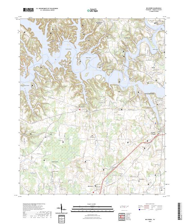 2022 Belvidere2022 Print · USGSFranklin County, Tennessee, is shown here in the early 2020s, revealing a landscape defined by the intricate waters of Tims Ford Lake and the rural plains of Belvidere. Researchers can locate dozens of historic family burial sites like Donaldson-Simmons Cem and landmarks such as Little Hurricane Church.
 - 2022 Map of Lois, 2022 Print
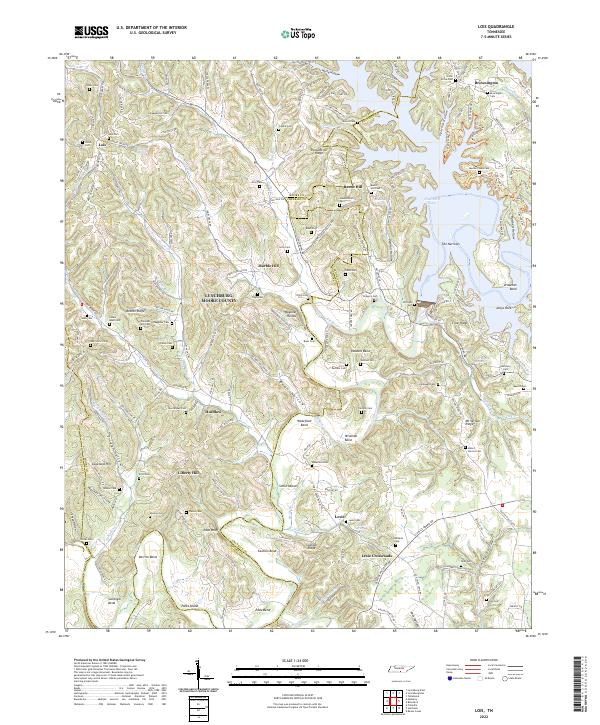 2022 Lois2022 Print · USGSMoore County and Franklin County meet along the winding Elk River and Tims Ford Lake in this detailed look at rural Tennessee. Genealogists and historians can trace family locations through numerous sites like Lois Cem, Marble Hill, and the crossroads at Lexie Crossroads.
 - 2022 Map of Huntland, 2022 Print
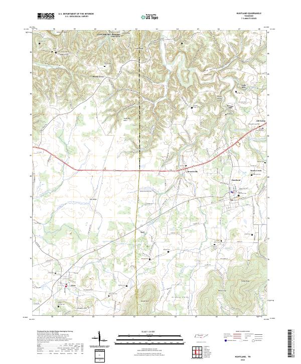 2022 Huntland2022 Print · USGSThe Tennessee borderlands near Huntland and Elora come alive in this 2022 survey of the Lincoln and Franklin County line. Researchers can trace ancestral roots through dozens of family burial grounds and historical sites like Falls Mill and Old Salem.
 - 2024 Map of Doran Cove, 2024 Print
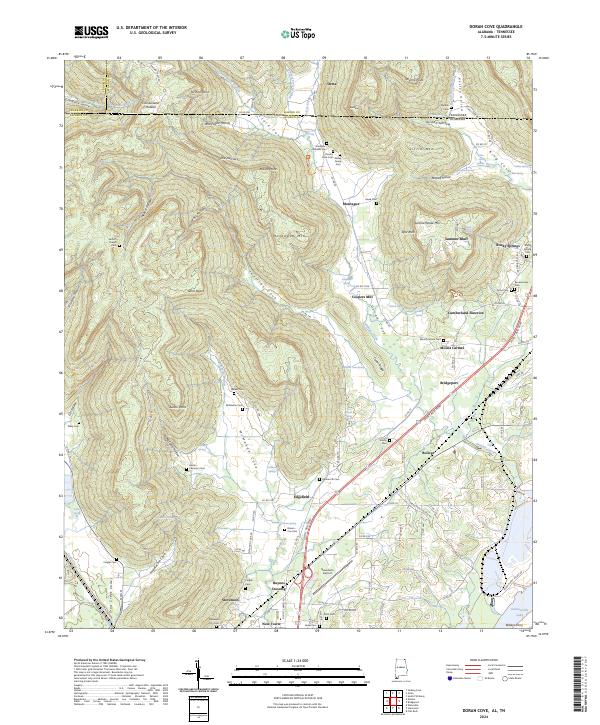 2024 Doran Cove2024 Print · USGSThe Alabama and Tennessee borderlands appear here in recent years, showing the dramatic transition from the Cumberland Plateau to the Tennessee River valley. Genealogists can trace family landmarks like Abbott Chapel Cem and Walker Cem alongside the notable RUSSELL CAVE NATIONAL MONUMENT.
 - 2024 Map of King Cove, 2024 Print
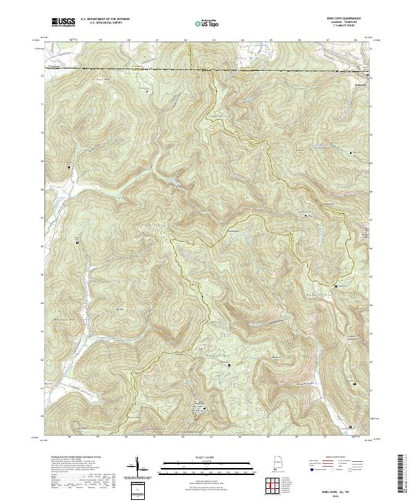 2024 King Cove2024 Print · USGSThe Alabama-Tennessee borderlands appear here in the 2020s, showing a landscape of high ridges and secluded coves. Genealogists can trace family landmarks like Beech Grove Cem and Hambrick Sinks Cem near the settlement of Francisco.
 - 2024 Map of Hytop, 2024 Print
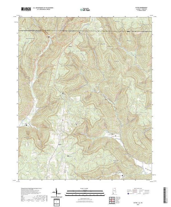 2024 Hytop2024 Print · USGSThe Alabama-Tennessee borderlands in Jackson County come alive in this survey of the high plateau and its deep coves. Genealogists and hikers can trace remote burial sites like Knight Cem and Bean Cem or explore the routes of the Walls of Jericho Hiking Trl.
 - 2024 Map of Estill Fork, 2024 Print
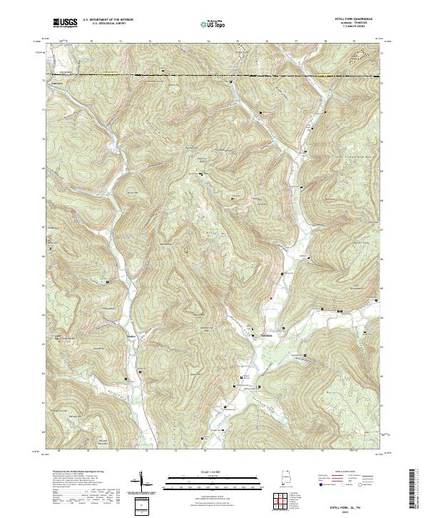 2024 Estill Fork2024 Print · USGSUpper Jackson County at the Tennessee border comes alive in this survey of the high hollows and river headwaters. Family historians can locate numerous burial sites like Estillfork Cemetery and Morris Cem while tracing the rural life of Francisco and Larkin.
 - 2024 Map of Eureka, 2024 Print
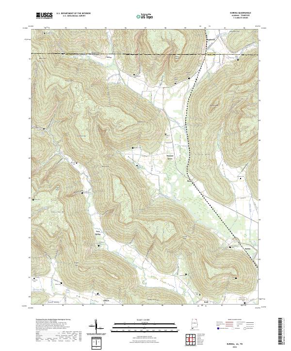 2024 Eureka2024 Print · USGSJackson County, Alabama, and the Tennessee borderlands are mapped here in the early twenty-first century. Genealogists can trace family burial sites like Stevenson Community Cem and Sikes Cem while exploring rural settlements such as Gonce and Eureka.
End of results
Showing maps 1-24 of 24
Top cities of Franklin County
- Winchester historical maps
- Sewanee historical maps
- Estill Springs historical maps
- Decherd historical maps
- Cowan historical maps
- Huntland historical maps
Frequently asked questions
- What are the different types of historical maps available for Franklin County?
- What is the oldest map of Franklin County?
- Where can I purchase historical maps of Franklin County for my home or office?
- Where can I download high-res historical maps of Franklin County?
- Are there historical topographic maps available for Franklin County?
- Is there historical aerial imagery available for Franklin County?
- Where are historical maps of Franklin County sourced from?