Old Maps of Walnut Grove, Tennessee for Hiking & Exploration
Hike through history with 11 historic maps of Walnut Grove. Explore old trails, ghost towns, and forgotten backroads — perfect for outdoor adventurers and local explorers.
- Rediscover forgotten places: Map out old mining camps, roads, and footpaths that no longer exist on modern maps.
- Layer with modern tools: Combine with LiDAR or satellite views to plan hikes through historical terrain.
- Made for exploration: Popular among hikers, overlanders, and local history lovers.
Use these maps to find adventure and explore the hidden past of Walnut Grove.
Walnut Grove, TN maps
(11)- 1928 Map of Decherd
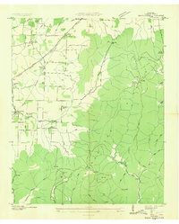
 1928 Decherd1928 Print · USGSFranklin County in the late twenties shows a landscape defined by the rise of the Cumberland Mountains and the busy lines of the Nashville Chattanooga and St Louis Railway. Genealogists can locate family landmarks in Motlow Cove or trace students at Peabody Sch and Hatchett Sch.3 unique versions available
 - 1936 Map of Beans Creek
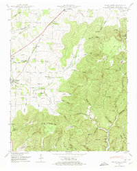
 1936 Beans Creek1936 Print · USGSFranklin County at the height of the mid-thirties reveals a landscape of high plateau ridges and valley settlements connected by the Nashville Chattanooga and St Louis Railway. Genealogists and historians can trace several local landmarks, from Old Salem Ch and Walnut Grove Sch to the homes of Maxwell.
 - 1948 Map of Beans Creek, 1974 Print
 1948 Beans Creek1974 Print · USGSFranklin County's rural landscape is captured here in the late 1940s, showing a well-established network of family farms and mountain ridges. Researchers can trace local lineage through Vanzandt Cem and Lipscomb Cem or locate the site of Hickory Grove School.2 unique versions available
 - 1951 Map of Beans Creek
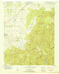 1951 Beans Creek1951 Print · USGSFranklin County's transition from agricultural valley to high ridge country is captured here at the start of the 1950s. Genealogists and local historians can trace early family sites like Hatchett Sch, Needmore Cem, and the historic Belvidere Ch.
 - 1956 Map of Columbia, 1960 Print
 1956 Columbia1960 Print · USGSMiddle Tennessee in the mid-fifties presents a landscape of established river towns and critical rail hubs before the arrival of the modern interstate system. Researchers can trace the routes of the Louisville and Nashville railroad or locate historic landmarks like Stones River National Military Park and the Tennessee National Wildlife Refuge.6 unique versions available
 - 1981 Map of Tullahoma, 1982 Print
 1981 Tullahoma1982 Print · USGSSouthern Tennessee enters the 1980s with a mix of aerospace technology and deep rural roots. Researchers can trace the L & N RR through Shelbyville and Fayetteville or locate family sites like Old Salem Cem and Blanton Chapel near the Cumberland Plateau.
 - 2010 Map of Beans Creek, 2010 Print
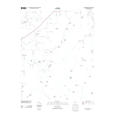
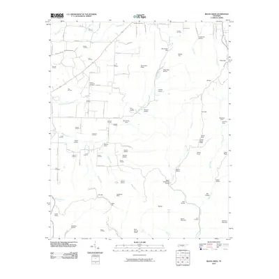 2010 Beans Creek2010 Print · USGSCovers Walnut Grove, including Maxwell, Beans Creek, and other nearby areas
 - 2013 Map of Beans Creek, 2013 Print
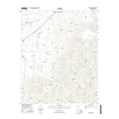
 2013 Beans Creek2013 Print · USGSCovers Walnut Grove, including Maxwell, Beans Creek, and other nearby areas
 - 2016 Map of Beans Creek, 2016 Print
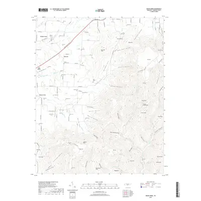
 2016 Beans Creek2016 Print · USGSCovers Walnut Grove, including Maxwell, Beans Creek, and other nearby areas
 - 2019 Map of Beans Creek, 2019 Print
 2019 Beans Creek2019 Print · USGSCovers Walnut Grove, including Maxwell, Beans Creek, and other nearby areas
 - 2022 Map of Beans Creek, 2022 Print
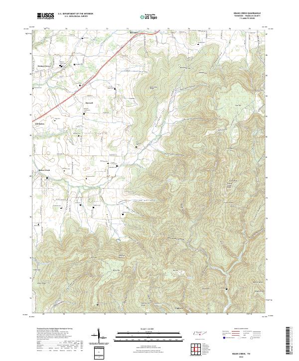 2022 Beans Creek2022 Print · USGSFranklin County's rural character and family history are preserved in this recent survey of the settlements south of Winchester. Genealogists can trace family lines through numerous burial sites like Polly Crockett Cem and Old Stovall Cem near Belvidere.
End of results
Showing maps 1-11 of 11
Top cities near Walnut Grove
- Tullahoma historical maps
- Winchester historical maps
- Estill Springs historical maps
- Decherd historical maps
- Cowan historical maps
- New Market historical maps
See more
Frequently asked questions
- What are the different types of historical maps available for Walnut Grove?
- What is the oldest map of Walnut Grove?
- Where can I purchase historical maps of Walnut Grove for my home or office?
- Where can I download high-res historical maps of Walnut Grove?
- Are there historical topographic maps available for Walnut Grove?
- Is there historical aerial imagery available for Walnut Grove?
- Where are historical maps of Walnut Grove sourced from?