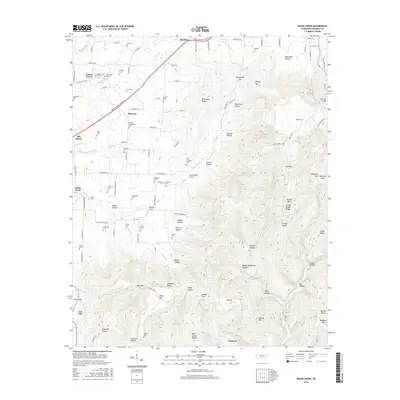
2016 Map of Beans Creek
USGS Topo · Published 2016About this map
Maxwell and Belvidere anchor this detailed landscape in Franklin County, Tennessee, which is notably dense with family cemeteries and burial grounds. The map reveals an intricate network of local history, including the Maxwell Community Cem, Polly Crockett Cem, and numerous smaller plots such as Old Stovall Cem and Noah Cem. These sites are often found near seasonal watercourses like Rattlesnake Spring Br or situated on the periphery of significant terrain features like Buncombe Ridge.
Find a feature on this map
131 named features on this map. Tap any name to fly to it.
Don’t see what you’re looking for? This feature index may not catch every label — zoom into the map to look around manually.
Map Details
Editions of this 2016 Beans Creek Map
This is the sole edition of this map. No revisions or reprints were ever made.
Other maps of this area

1888 · Scottsboro
USGS Topo · 1:125,000

1892 · Scottsboro
USGS Topo · 1:125,000

1928 · Decherd
USGS Topo · 1:62,500

1936 · King Cove
USGS Topo · 1:24,000

1936 · Beans Creek
USGS Topo · 1:24,000

1936 · Hytop
USGS Topo · 1:24,000

1936 · Winchester
USGS Topo · 1:24,000

1936 · Huntland
USGS Topo · 1:24,000

1936 · Belvidere
USGS Topo · 1:24,000

1936 · Pitcher Ridge
USGS Topo · 1:24,000