2000s (21st Century) Maps of Hardeman County, Tennessee
Explore 107 historic maps of Hardeman County from the 2000s (21st Century). These maps offer a rare glimpse into what life looked like during the 2000s — showing old roads, neighborhoods, homes, and landmarks that have changed or disappeared over time.
Whether you're researching your family's past, planning a metal detecting trip, or studying how Hardeman County's landscape evolved across the 2000s, these high-resolution maps are a powerful tool for exploring the history of this region.
- Focus on a specific era: All maps on this page are from the 2000s, giving you a focused view of this time period.
- See what’s changed: Compare century-old streets, trails, and buildings to today's modern landscape using overlays and satellite layers.
- Research with precision: Use these maps for genealogy, historical research, land use analysis, or educational projects.
- View, download, or print: Maps are fully viewable online in high resolution, and can be downloaded or printed for your own records.
Start exploring Hardeman County's history through authentic maps from the 2000s. This is your window into the past.
Hardeman County, TN maps
(107)- 2000 Map of Camp Hill, 2003 Print
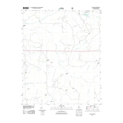
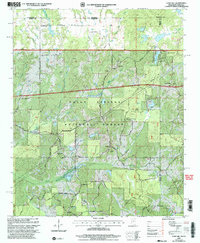 2000 Camp Hill2003 Print · USGSThe northern border of Benton County is mapped here around the turn of the century as the Holly Springs National Forest surrounds small timberlands. Researchers can trace rural landmarks like New Canaan, Zion Chapel, and the Medlock Ch.
 - 2000 Map of Walnut, 2003 Print
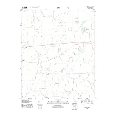
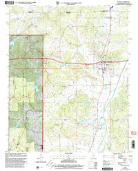 2000 Walnut2003 Print · USGSThe borderlands of Mississippi and Tennessee appear here at the turn of the millennium, centered on the growing town of Walnut. Researchers can trace rural lineages through numerous sites like New Salem Cem, Holiness Ch, and the outlying settlement of Tiplersville.
 - 2000 Map of Canaan, 2003 Print
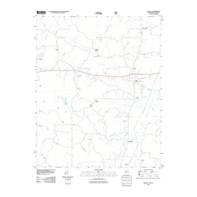
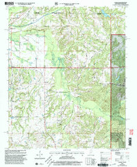 2000 Canaan2003 Print · USGSThe Tennessee-Mississippi borderlands at the start of the 2000s reveal a quiet landscape of forest preserves and family homesteads. Genealogists can trace decades of community roots through Michigan City and numerous rural landmarks like Harris Chapel or McKenzie Cem.
 - 2010 Map of Bolivar West, 2010 Print
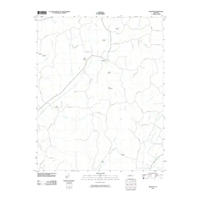
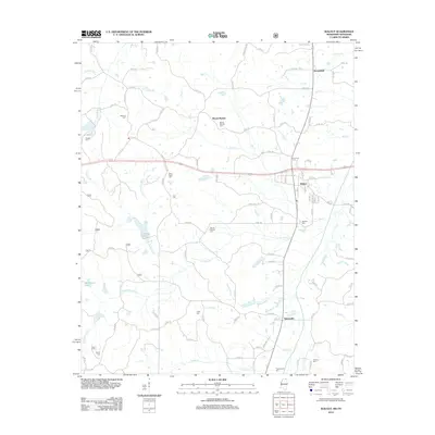
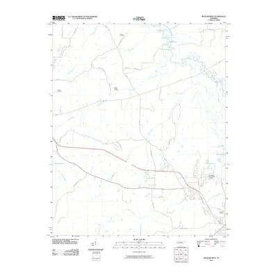 2010 Bolivar West2010 Print · USGSCovers Hardeman County, including Bolivar, United States, and other nearby areas
 - 2010 Map of Teague, 2010 Print
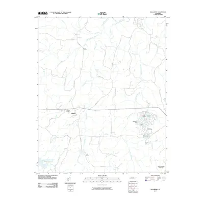
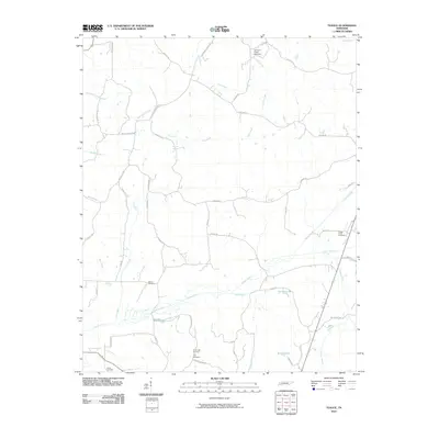 2010 Teague2010 Print · USGSCovers Hardeman County, including Teague, Uptonville, and other nearby areas
 - 2010 Map of Hornsby, 2010 Print
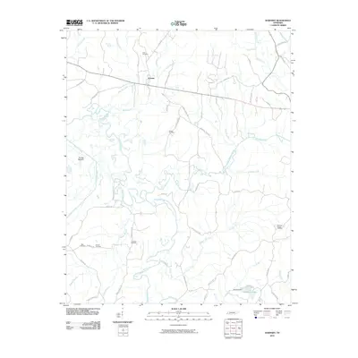 2010 Hornsby2010 Print · USGSCovers Hardeman County, including Hornsby, Porters Creek, and other nearby areas
 - 2010 Map of Grand Junction, 2010 Print
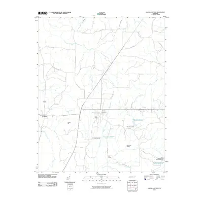 2010 Grand Junction2010 Print · USGSCovers Hardeman County, including La Grange, Center Point, and other nearby areas
 - 2010 Map of Middleburg, 2010 Print
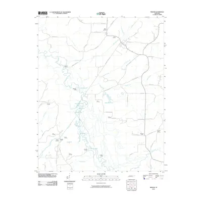
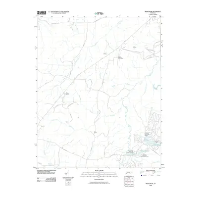 2010 Middleburg2010 Print · USGSCovers Hardeman County, including Bolivar, Hickory Valley, and other nearby areas
 - 2010 Map of Hillville, 2010 Print
 2010 Hillville2010 Print · USGSCovers Hardeman County, including Cedar Chapel, Eurekaton, and other nearby areas
 - 2010 Map of Middleton, 2010 Print
 2010 Middleton2010 Print · USGSCovers Hardeman County, including Middleton, Poor, and other nearby areas
 - 2010 Map of Medon, 2010 Print
 2010 Medon2010 Print · USGSCovers Hardeman County, including Medon, Deanburg, and other nearby areas
 - 2010 Map of Hebron, 2010 Print
 2010 Hebron2010 Print · USGSCovers Hardeman County, including Bolivar, Hebron, and other nearby areas
 - 2010 Map of Saulsbury, 2010 Print
 2010 Saulsbury2010 Print · USGSCovers Hardeman County, including Saulsbury, United States, and other nearby areas
 - 2010 Map of Whiteville, 2010 Print
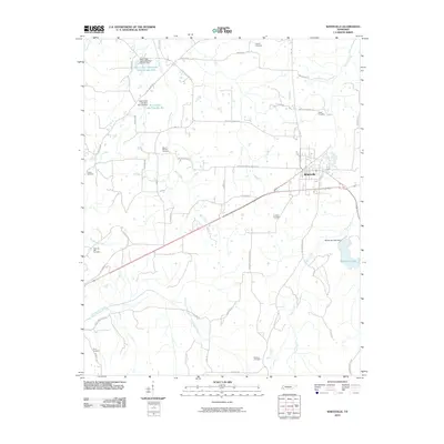 2010 Whiteville2010 Print · USGSCovers Hardeman County, including Whiteville, Mount Moriah, and other nearby areas
 - 2010 Map of Hickory Valley, 2010 Print
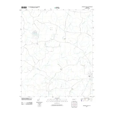 2010 Hickory Valley2010 Print · USGSCovers Hardeman County, including Hickory Valley, Newcastle, and other nearby areas
 - 2010 Map of Chalybeate, 2010 Print
 2010 Chalybeate2010 Print · USGSCovers Hardeman County, including Chalybeate, Alcorn County, and other nearby areas
 - 2010 Map of Mercer, 2010 Print
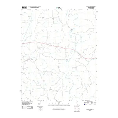
 2010 Mercer2010 Print · USGSCovers Hardeman County, including Hatchie, Cloverport, and other nearby areas
 - 2010 Map of Silerton, 2010 Print
 2010 Silerton2010 Print · USGSCovers Hardeman County, including Palestine, Piney Grove, and other nearby areas
 - 2010 Map of Bolivar East, 2010 Print
 2010 Bolivar East2010 Print · USGSCovers Hardeman County, including Bolivar, Toone, and other nearby areas
 - 2010 Map of Pocahontas, 2010 Print
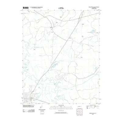
 2010 Pocahontas2010 Print · USGSCovers Hardeman County, including Middleton, Essary Springs, and other nearby areas
 - 2010 Map of Canaan, 2010 Print
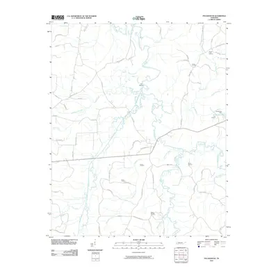
 2010 Canaan2010 Print · USGSCovers Hardeman County, including Canaan, Spring Hill, and other nearby areas
 - 2010 Map of Camp Hill, 2010 Print
 2010 Camp Hill2010 Print · USGSCovers Hardeman County, including Black Jack, Brody, and other nearby areas
 - 2010 Map of Walnut, 2010 Print
 2010 Walnut2010 Print · USGSCovers Hardeman County, including Walnut, Mount Moriah, and other nearby areas
 - 2012 Map of Walnut, 2012 Print
 2012 Walnut2012 Print · USGSCovers Hardeman County, including Walnut, Mount Moriah, and other nearby areas
 - 2012 Map of Chalybeate, 2012 Print
 2012 Chalybeate2012 Print · USGSCovers Hardeman County, including Chalybeate, Alcorn County, and other nearby areas
Showing maps 1-25 of 107
Top cities of Hardeman County
- Bolivar historical maps
- Whiteville historical maps
- Middleton historical maps
- Toone historical maps
- Hornsby historical maps
- Hickory Valley historical maps
See more
Frequently asked questions
- What are the different types of historical maps available for Hardeman County?
- What is the oldest map of Hardeman County?
- Where can I purchase historical maps of Hardeman County for my home or office?
- Where can I download high-res historical maps of Hardeman County?
- Are there historical topographic maps available for Hardeman County?
- Is there historical aerial imagery available for Hardeman County?
- Where are historical maps of Hardeman County sourced from?