2020s Maps of Hardin County, Tennessee
Explore 22 historic maps of Hardin County from the 2020s. These maps offer a rare glimpse into what life looked like during the 2020s — showing old roads, neighborhoods, homes, and landmarks that have changed or disappeared over time.
Whether you're researching your family's past, planning a metal detecting trip, or studying how Hardin County's landscape evolved across the 2020s, these high-resolution maps are a powerful tool for exploring the history of this region.
- Focus on a specific era: All maps on this page are from the 2020s, giving you a focused view of this time period.
- See what’s changed: Compare century-old streets, trails, and buildings to today's modern landscape using overlays and satellite layers.
- Research with precision: Use these maps for genealogy, historical research, land use analysis, or educational projects.
- View, download, or print: Maps are fully viewable online in high resolution, and can be downloaded or printed for your own records.
Start exploring Hardin County's history through authentic maps from the 2020s. This is your window into the past.
Hardin County, TN maps
(22)- 2020 Map of Yellow Creek, 2020 Print
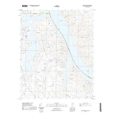 2020 Yellow Creek2020 Print · USGSCovers Hardin County, including Cooks Landing, High Point, and other nearby areas
 - 2020 Map of Doskie, 2020 Print
 2020 Doskie2020 Print · USGSCovers Hardin County, including Pine Flat, Cross Roads, and other nearby areas
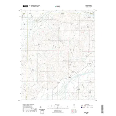
 - 2021 Map of Kendrick, 2021 Print
 2021 Kendrick2021 Print · USGSCovers Hardin County, including Corinth, Farmington, and other nearby areas
 - 2022 Map of Martins Mills, 2022 Print
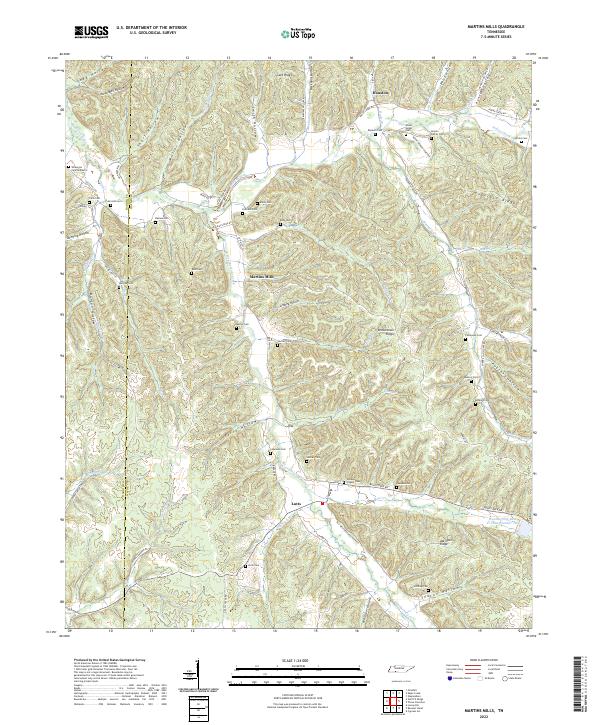 2022 Martins Mills2022 Print · USGSThe Tennessee borderlands of Wayne and Hardin Counties are captured here in a period of enduring rural character. Genealogists can trace family lines through dozens of remote sites like the Nowlin Family Cem, Greeson Chapel Cem, and the community of Lutts.
 - 2022 Map of Eagle Creek, 2022 Print
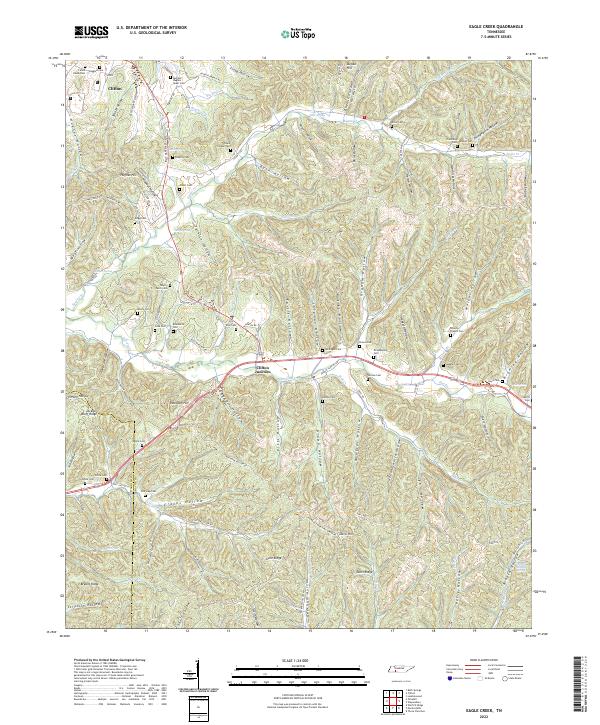 2022 Eagle Creek2022 Print · USGSModern-day Wayne County and Hardin County maintain their rural character across a terrain of ridges and deep hollows. Genealogists can trace family heritage at Evans Chapel Cem, Philadelphia Cem, and along Hardin Cr.
 - 2022 Map of Ransom Stand, 2022 Print
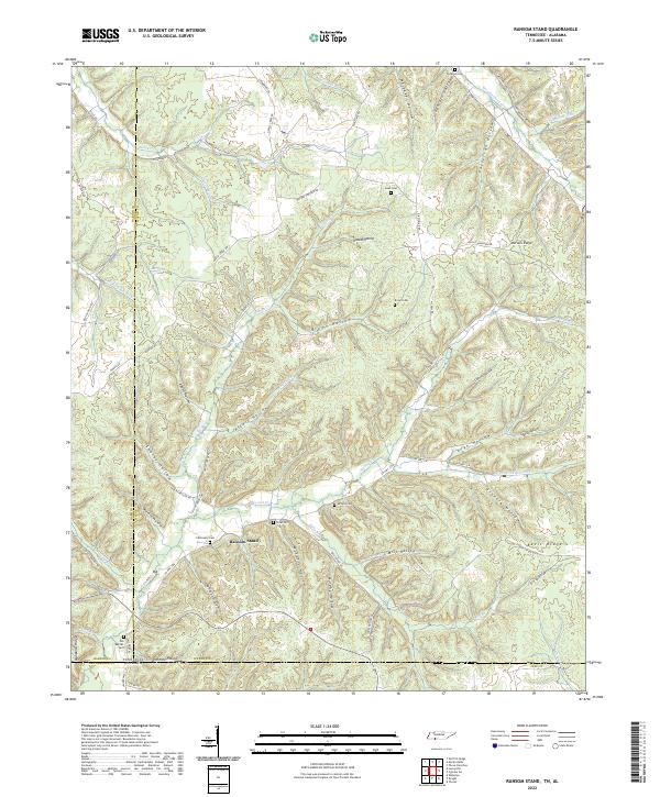 2022 Ransom Stand2022 Print · USGSThe Tennessee and Alabama borderlands are shown here in recent detail, where the settlement of Ransom Stand sits among high ridges. Local historians can trace family burial sites like Stribling Cem and Brown Cem tucked away in drainage hollows like Mill Hollow.
 - 2022 Map of Pickwick, 2022 Print
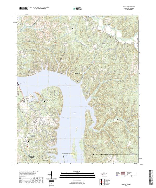 2022 Pickwick2022 Print · USGSThe Tennessee-Alabama state line and the waters of Pickwick Lake define this area as it appeared in the early 2020s. Genealogists and local historians can locate several family cemeteries, including Old White Sulphur Cem and Thomas Cem, alongside the community at Red Sulphur Springs.
 - 2022 Map of Pittsburg Landing, 2022 Print
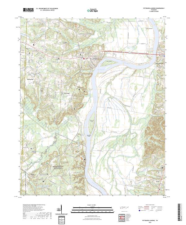 2022 Pittsburg Landing2022 Print · USGSHardin County's riverfront and the hallowed grounds of the Civil War are detailed here in this 2022 survey. Genealogists and historians can trace family names and military positions near Shiloh National Battlefield, Bloody Pond, and the Hardin County Courthouse.
 - 2022 Map of Michie, 2022 Print
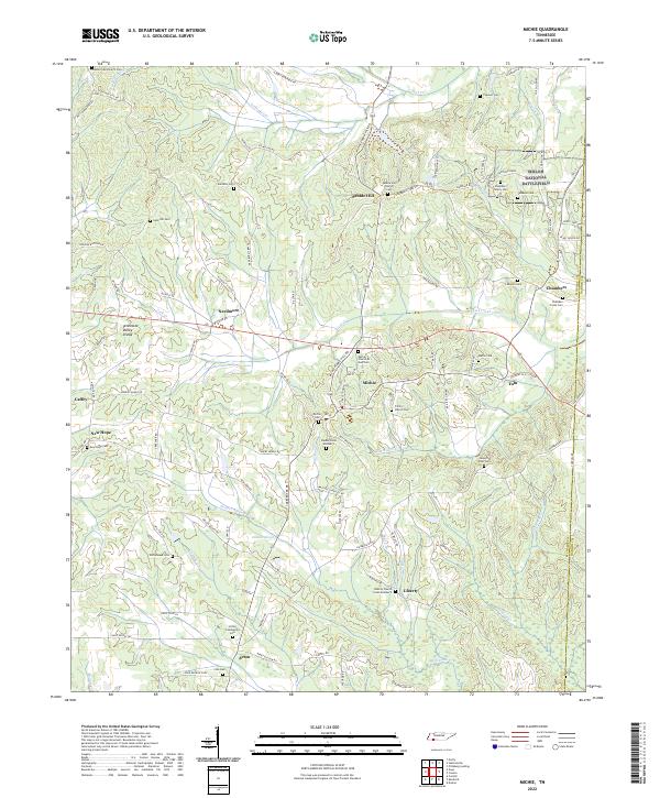 2022 Michie2022 Print · USGSMcNairy County at the Tennessee-Mississippi line is captured here in a moment of rural continuity. Researchers can trace dozens of family burial sites such as Chambers Family Cemetery or visit the southern reaches of Shiloh National Battlefield.
 - 2022 Map of Sardis, 2022 Print
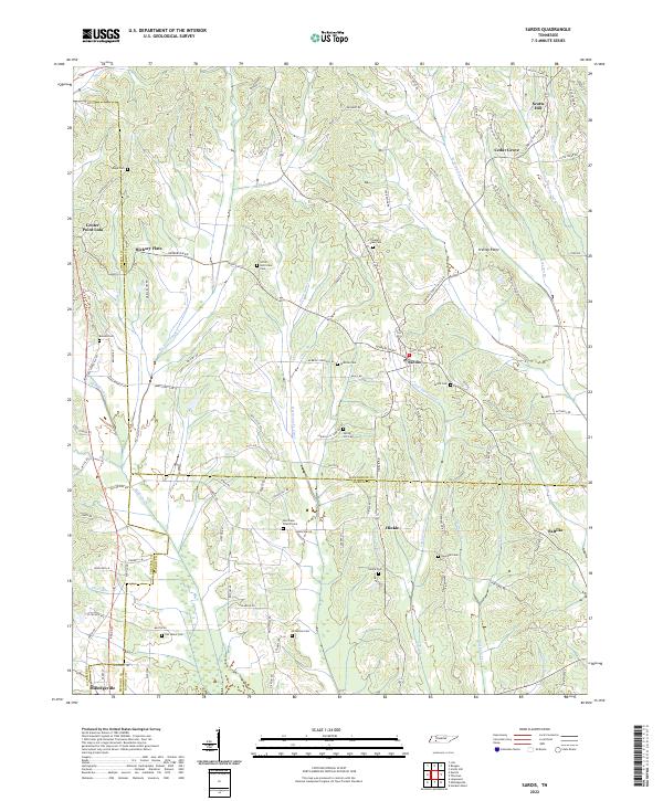 2022 Sardis2022 Print · USGSIn the early twenty-first century, this West Tennessee borderland remains a landscape of quiet crossroads and family burial grounds. Genealogists can locate historic sites like Old Salem Cem, Hinkle, and the Hurricane Church-Cem.
 - 2022 Map of Bath Springs, 2022 Print
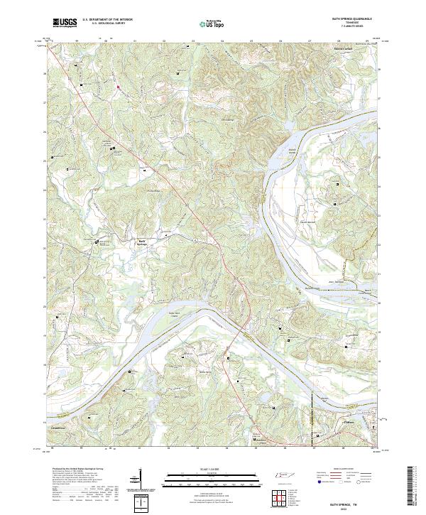 2022 Bath Springs2022 Print · USGSThe Tennessee River valley at the Decatur and Hardin county line comes alive in this 2022 survey. Genealogists can trace family names across dozens of sites including Slater Cem, Lott Landing Cem, and the historic Bath Springs Baptist Church.
 - 2022 Map of Thurman, 2022 Print
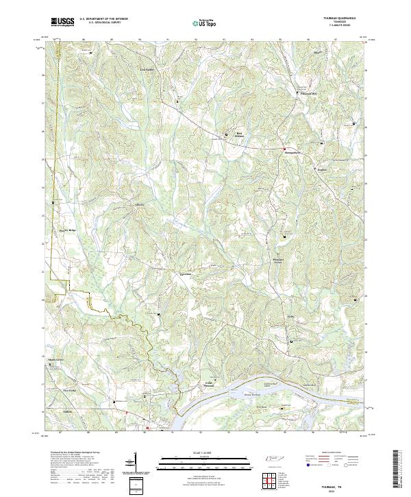 2022 Thurman2022 Print · USGSDecatur County and the Tennessee River corridor are captured here in their modern rural character. Genealogists and local historians can trace family locations through numerous sites like Saltillo, the Red Walnut Church Cem, and the uniquely named Lick Skillet.
 - 2022 Map of Milledgeville, 2022 Print
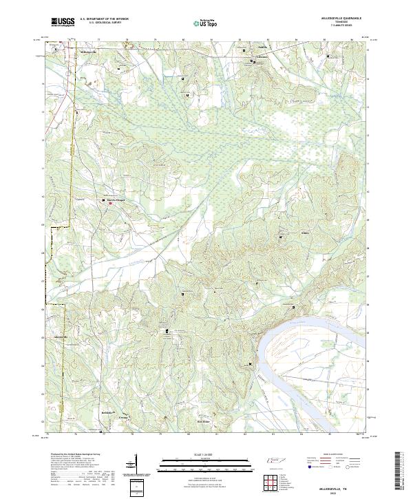 2022 Milledgeville2022 Print · USGSThe Tennessee River and Kentucky Lake shoreline defines this area on the McNairy and Hardin border as it appeared recently. Researchers can trace family roots through numerous landmarks like Old Union Church, Milledgeville Cem, and the Morris Chapel settlement.
 - 2022 Map of Wolf Pit Ridge, 2022 Print
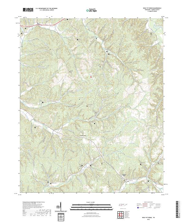 2022 Wolf Pit Ridge2022 Print · USGSHardin County’s creek-cut ridges and family settlements are captured here in the early twenty-first century. Researchers can locate numerous family burial sites like Lacefield Cem and Gillis Mills Cem near Gillises Mills.
 - 2022 Map of Lowryville, 2022 Print
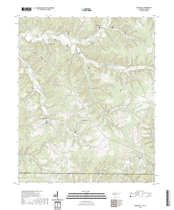 2022 Lowryville2022 Print · USGSStraddling the Tennessee and Alabama border in the 2020s, this area maintains its traditional rural settlement patterns. Genealogists can trace family names through dozens of sites like Franks Store Cem, Lowryville, and Faint Hope Cem.
 - 2022 Map of Olivehill, 2022 Print
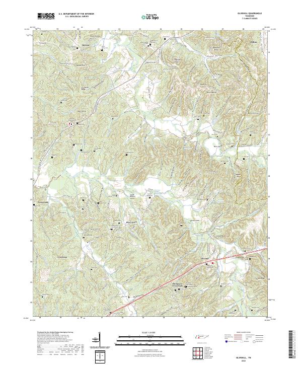 2022 Olivehill2022 Print · USGSEastern Hardin County life is centered around the creek valleys and hollows of Olivehill and Clifton. Genealogists can trace family names through the Dillon Farm Cem, Havana Church, and the Northcutt Elementary school grounds.
 - 2022 Map of Counce, 2022 Print
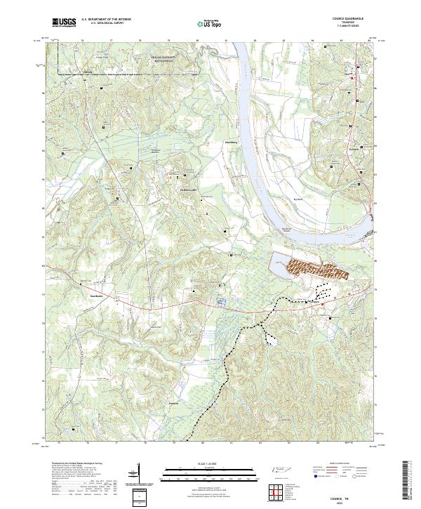 2022 Counce2022 Print · USGSThe Tennessee River corridor and the hallowed ground of Shiloh National Battlefield define this Hardin County landscape. Genealogists can trace family lines across dozens of rural burial sites, including the Wesleys Chapel Cem, Childers Hill Cem Number 1, and William Wood Cem.
 - 2022 Map of Hookers Bend, 2022 Print
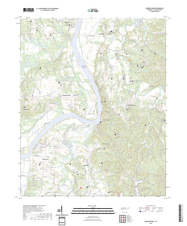 2022 Hookers Bend2022 Print · USGSHardin County settlements along the Tennessee River are shown here in the contemporary era as they balance modern development with deep roots. Genealogists can locate family burial grounds like Goshen Cem and Shiloh Cem or trace the riverfront at Hookers Bend and Cerro Gordo.
 - 2023 Map of Savannah, 2023 Print
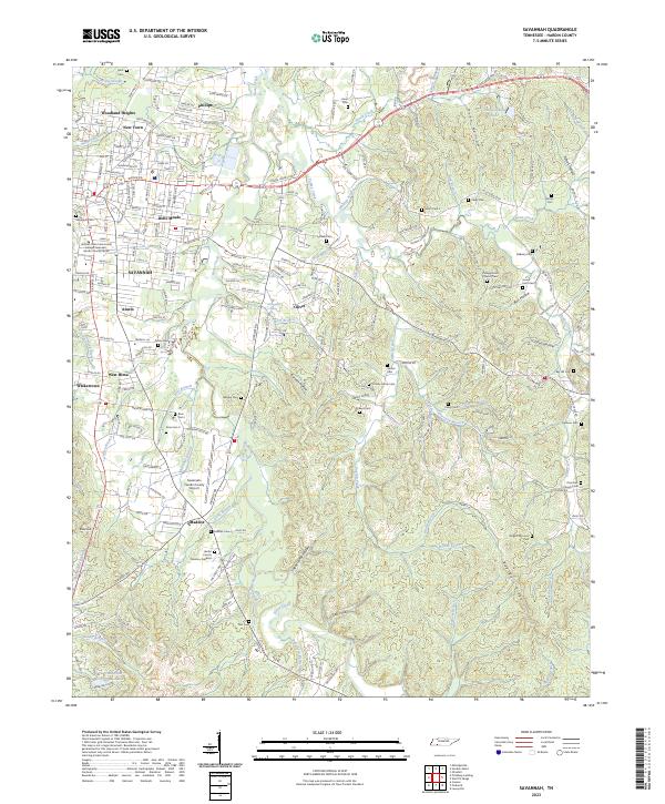 2023 Savannah2023 Print · USGSSavannah and its surrounding neighborhoods are captured in detail during this modern era of Tennessee growth. Researchers can trace family history through a dense network of local sites including Campground Church Cem, Belle Meade, and the Savannah-Hardin County Airport.
 - 2024 Map of Kendrick, 2024 Print
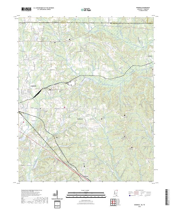 2024 Kendrick2024 Print · USGSAlcorn County, Mississippi, and McNairy County, Tennessee, meet in this modern landscape where the Tennessee Valley Divide defines the watershed. Researchers can trace historic local sites like Wiley Grove Church Cem African American, Kendrick, and the southern reaches of Shiloh National Battlefield.
 - 2024 Map of Yellow Creek, 2024 Print
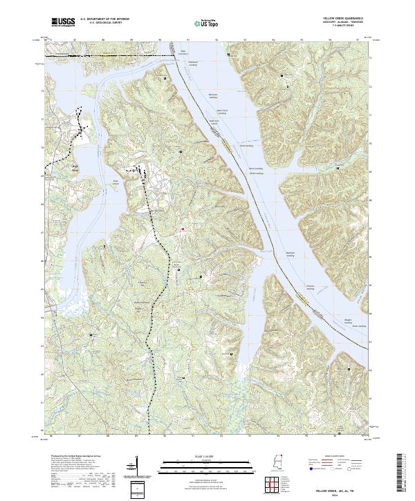 2024 Yellow Creek2024 Print · USGSThe tri-state border region of Mississippi, Alabama, and Tennessee is shown here in the 2020s, dominated by the Tennessee-Tombigbee Waterway. Researchers can trace generations of local families through numerous small burial sites like Camp Ground Cem and Beall Cem.
 - 2024 Map of Doskie, 2024 Print
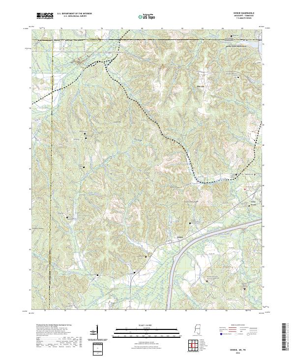 2024 Doskie2024 Print · USGSThe Tishomingo County borderlands come to life in this recent survey, showcasing the meeting point of Mississippi and Tennessee. Genealogists can locate family landmarks like Lambs Chapel Cem, Blackard Cem, and the rural community of Doskie.
End of results
Showing maps 1-22 of 22
Top cities of Hardin County
Frequently asked questions
- What are the different types of historical maps available for Hardin County?
- What is the oldest map of Hardin County?
- Where can I purchase historical maps of Hardin County for my home or office?
- Where can I download high-res historical maps of Hardin County?
- Are there historical topographic maps available for Hardin County?
- Is there historical aerial imagery available for Hardin County?
- Where are historical maps of Hardin County sourced from?