2010s Maps of Hardin County, Tennessee
Explore 76 historic maps of Hardin County from the 2010s. These maps offer a rare glimpse into what life looked like during the 2010s — showing old roads, neighborhoods, homes, and landmarks that have changed or disappeared over time.
Whether you're researching your family's past, planning a metal detecting trip, or studying how Hardin County's landscape evolved across the 2010s, these high-resolution maps are a powerful tool for exploring the history of this region.
- Focus on a specific era: All maps on this page are from the 2010s, giving you a focused view of this time period.
- See what’s changed: Compare century-old streets, trails, and buildings to today's modern landscape using overlays and satellite layers.
- Research with precision: Use these maps for genealogy, historical research, land use analysis, or educational projects.
- View, download, or print: Maps are fully viewable online in high resolution, and can be downloaded or printed for your own records.
Start exploring Hardin County's history through authentic maps from the 2010s. This is your window into the past.
Hardin County, TN maps
(76)- 2010 Map of Savannah, 2010 Print
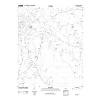 2010 Savannah2010 Print · USGSHardin County at the start of the 2010s shows a landscape of modern growth surrounding the town of Savannah. Researchers can trace dozens of family burial sites and rural landmarks, including the Hosea Farm Cemetery, Old Town, and Mozier Mill Hollow.
 - 2010 Map of Milledgeville, 2010 Print
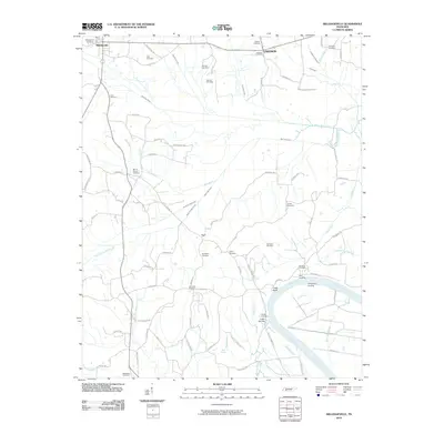 2010 Milledgeville2010 Print · USGSThe Tennessee River corridor south of Milledgeville is captured here during the early twenty-first century. Family researchers can trace roots through over a dozen rural burial grounds, including Old Union Cemetery and Norwood Cemetery, while exploring historic riverfront sites like Coffee Landing and Chalk Bluff.
 - 2010 Map of Ransom Stand, 2010 Print
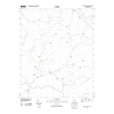 2010 Ransom Stand2010 Print · USGSThe Tennessee-Alabama borderlands come into focus in this late-2000s survey, revealing a landscape of family-named ridges and winding creek valleys. Genealogists and local historians can trace legacy sites like Stout Cemetery, Stribling Cemetery, and the Lutts Lookout Tower.
 - 2010 Map of Sardis, 2010 Print
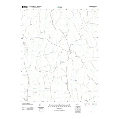 2010 Sardis2010 Print · USGSSardis and the surrounding Henderson County countryside are documented here in the early twenty-first century. Genealogists can trace family footprints across dozens of small burial grounds like Edge Cemetery, Hanna Cemetery, and Brazelton Cemetery.
 - 2010 Map of Olivehill, 2010 Print
 2010 Olivehill2010 Print · USGSHardin Creek and its many hollows define this rural Tennessee landscape at the start of the 21st century. Genealogists can trace family connections through a dense network of burial sites like Patterson Cemetery and historic river crossings such as Whitten Ford.
 - 2010 Map of Pittsburg Landing, 2010 Print
 2010 Pittsburg Landing2010 Print · USGSHardin County's riverfront and the hallowed grounds of Shiloh are documented here in the early twenty-first century. Researchers can locate numerous family burial sites like Churchwell Cemetery or trace historic river access points at Crump Landing and Buells Landing.
 - 2010 Map of Bath Springs, 2010 Print
 2010 Bath Springs2010 Print · USGSThe Tennessee River corridor comes alive in this survey, showing a network of historic landings and furnace sites. Genealogists can trace family roots through numerous local plots like Lafferty Cemetery or visit the site of the old Decatur Furnace.
 - 2010 Map of Wolf Pit Ridge, 2010 Print
 2010 Wolf Pit Ridge2010 Print · USGSHardin County, Tennessee, is shown here as a landscape of family-named hollows and ridge-top homesteads in the early twenty-first century. Genealogists can trace family lines across dozens of local burial sites like Hames Cemetery, Wilkerson Cemetery, and Sunny Hill Cemetery.
 - 2010 Map of Martins Mills, 2010 Print
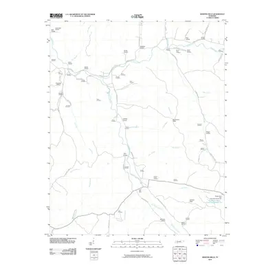 2010 Martins Mills2010 Print · USGSWayne County’s southern ridges and hollows are documented here at the turn of the millennium, centered on the community of Lutts. Researchers can trace decades of local family history through sites like the Lutts Post Office, Mount Heber Cemetery, and Sinclair Cemetery.
 - 2010 Map of Eagle Creek, 2010 Print
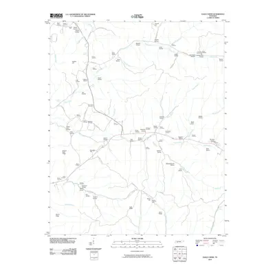 2010 Eagle Creek2010 Print · USGSWayne County’s rural hollows and creek valleys are documented here at the start of the twenty-first century. Genealogists can trace family footprints across dozens of sites like Evans Chapel, the Sanders Mine, and the Boyd-Lynch Cemetery.
 - 2010 Map of Doskie, 2010 Print
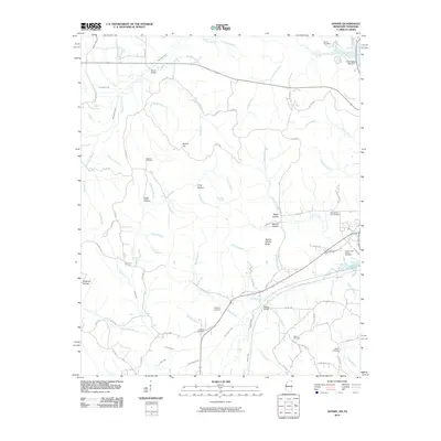 2010 Doskie2010 Print · USGSThe Mississippi and Tennessee state line meets along the upper reaches of Yellow Creek in this 2010 survey. Genealogists and local historians can trace family locations through numerous sites like Lambs Chapel Cemetery, Mulberry Cemetery, and Greenwater Marina.
 - 2010 Map of Kendrick, 2010 Print
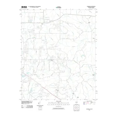 2010 Kendrick2010 Print · USGSNortheast Mississippi and the Tennessee borderlands are captured here at the start of the 2010s. Researchers can trace family history through several local burial sites like Marvin Cemetery and Wyly Cemetery or locate landmarks such as the Glen Lookout Tower.
 - 2010 Map of Yellow Creek, 2010 Print
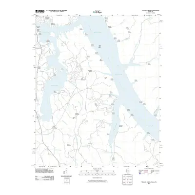 2010 Yellow Creek2010 Print · USGSTishomingo County at the turn of the decade shows a shoreline shaped by industrial transit and lakeside recreation. Genealogists and historians can trace family ties at the Popular Springs Cemetery, Patrick Cemetery, and Short Creek Cemetery.
 - 2010 Map of Hookers Bend, 2010 Print
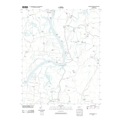 2010 Hookers Bend2010 Print · USGSThe Tennessee River dominates this Hardin County landscape in the early 2000s, revealing a deep history of riverboat landings and ferries. Researchers can trace dozens of family cemeteries and historical river crossings like Saltillo Ferry, Cerro Gordo Landing, and Hookers Bend.
 - 2010 Map of Thurman, 2010 Print
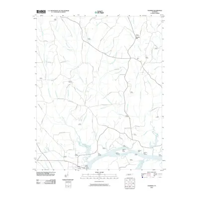 2010 Thurman2010 Print · USGSHardin County river life and rural settlements are captured here in the decade following the millennium. Genealogists and local historians can locate dozens of family burial sites like Holland Cemetery and river landmarks such as Swallow Bluff.
 - 2010 Map of Lowryville, 2010 Print
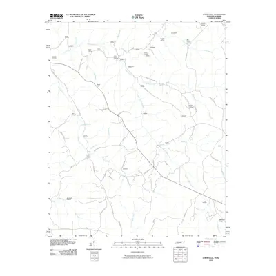 2010 Lowryville2010 Print · USGSThe Tennessee-Alabama borderlands are captured here in the early twenty-first century, showing a landscape of family-run farms and creek-bottom settlements. Researchers can trace local lineages through numerous burial sites like Faint Hope Cemetery, Petty Branch Cemetery, and Franks Store Cemetery.
 - 2010 Map of Counce, 2010 Print
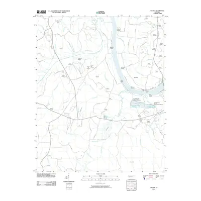 2010 Counce2010 Print · USGSThe Tennessee River corridor near Counce is mapped here in the early 21st century, showing a mix of industrial river management and deep-rooted rural history. Researchers can locate numerous family burial sites like Childers Hill Cemetery and historic riverfronts such as Griscoms Landing.
 - 2010 Map of Pickwick, 2010 Print
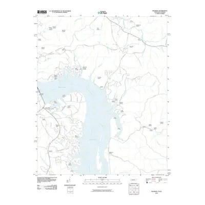 2010 Pickwick2010 Print · USGSPickwick Lake and the Tennessee River shoreline are captured here in the early twenty-first century, showing the intersection of major hydroelectric infrastructure and rural heritage. Researchers can trace local lineage through numerous documented sites like Shanghai Cemeteries, Mount Tabor Cemetery, and the Pickwick Dam Post Office.
 - 2010 Map of Michie, 2010 Print
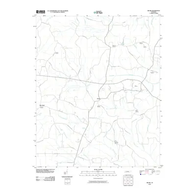 2010 Michie2010 Print · USGSMcNairy County at the start of the decade reveals a settled landscape of rural communities and family homesteads linked by an extensive road network. Researchers can trace ancestral roots through numerous local sites including Sanders Cemetery, New Hope, and Liberty Cemetery.
 - 2012 Map of Doskie, 2012 Print
 2012 Doskie2012 Print · USGSThe Mississippi-Tennessee state line comes alive in this survey of the northern Tishomingo County hill country. Genealogists can trace family names through numerous burial sites like Lambs Chapel Cem and Blackard Cem near the settlement of Doskie.
 - 2012 Map of Kendrick, 2012 Print
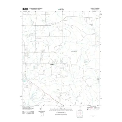 2012 Kendrick2012 Print · USGSAlcorn County, Mississippi, sits at the Tennessee state line during the early twenty-first century, showing a rural landscape of creek bottoms and hollows. Genealogists can trace family names through several rural burial grounds like Clark Cem and Pleasant Ridge Cem.
 - 2012 Map of Yellow Creek, 2012 Print
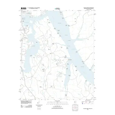 2012 Yellow Creek2012 Print · USGSThe tri-state border where Mississippi, Alabama, and Tennessee meet is centered on the waters of Pickwick Lake in the early 21st century. Genealogists and historians can locate numerous family-named landmarks such as Beall Cem, Bonds Mountain, and Cooks Landing.
 - 2013 Map of Eagle Creek, 2013 Print
 2013 Eagle Creek2013 Print · USGSWayne County's intricate landscape of ridges and hollows comes into focus in this early twenty-first-century survey. Genealogists and hikers can trace family-named landmarks and water sources like Clifton Junction, Hardins Creek Fire Tower, and Hideout Hollow.
 - 2013 Map of Martins Mills, 2013 Print
 2013 Martins Mills2013 Print · USGSWayne County, Tennessee, is captured here in the early 2010s, showcasing a rural landscape of ridges and family-named hollows. Genealogists and local historians can trace the paths between Martins Mills, Lutts, and Mount Hebron Cemetery Rd.
 - 2013 Map of Ransom Stand, 2013 Print
 2013 Ransom Stand2013 Print · USGSThe Tennessee-Alabama borderlands come into focus in the early twenty-first century, showing a landscape defined by deep hollows and rural crossroad communities. Researchers can trace family names and early industry through landmarks like Lutts Lookout Tower, Ransom Stand, and Stave Mill Br.
Showing maps 1-25 of 76
Top cities of Hardin County
Frequently asked questions
- What are the different types of historical maps available for Hardin County?
- What is the oldest map of Hardin County?
- Where can I purchase historical maps of Hardin County for my home or office?
- Where can I download high-res historical maps of Hardin County?
- Are there historical topographic maps available for Hardin County?
- Is there historical aerial imagery available for Hardin County?
- Where are historical maps of Hardin County sourced from?