2000s (21st Century) Maps of Hardin County, Tennessee
Explore 98 historic maps of Hardin County from the 2000s (21st Century). These maps offer a rare glimpse into what life looked like during the 2000s — showing old roads, neighborhoods, homes, and landmarks that have changed or disappeared over time.
Whether you're researching your family's past, planning a metal detecting trip, or studying how Hardin County's landscape evolved across the 2000s, these high-resolution maps are a powerful tool for exploring the history of this region.
- Focus on a specific era: All maps on this page are from the 2000s, giving you a focused view of this time period.
- See what’s changed: Compare century-old streets, trails, and buildings to today's modern landscape using overlays and satellite layers.
- Research with precision: Use these maps for genealogy, historical research, land use analysis, or educational projects.
- View, download, or print: Maps are fully viewable online in high resolution, and can be downloaded or printed for your own records.
Start exploring Hardin County's history through authentic maps from the 2000s. This is your window into the past.
Hardin County, TN maps
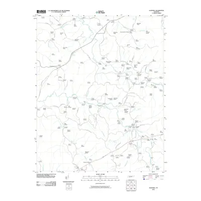
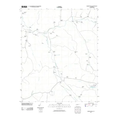
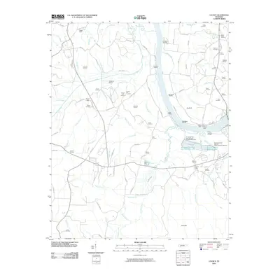
(98)- 2010 Map of Savannah, 2010 Print
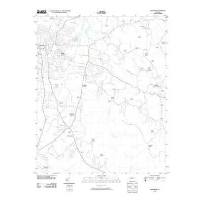 2010 Savannah2010 Print · USGSCovers Hardin County, including Savannah, Maddox, and other nearby areas
 - 2010 Map of Milledgeville, 2010 Print
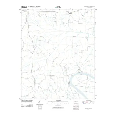 2010 Milledgeville2010 Print · USGSCovers Hardin County, including Adamsville, Crump, and other nearby areas
 - 2010 Map of Ransom Stand, 2010 Print
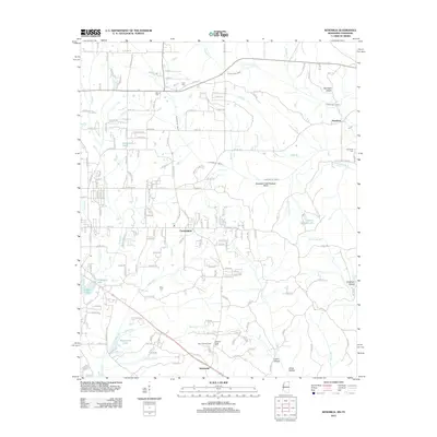
 2010 Ransom Stand2010 Print · USGSCovers Hardin County, including Stout, Ransom Stand, and other nearby areas
 - 2010 Map of Sardis, 2010 Print
 2010 Sardis2010 Print · USGSCovers Hardin County, including Sardis, Cedar Grove, and other nearby areas
 - 2010 Map of Olivehill, 2010 Print
 2010 Olivehill2010 Print · USGSCovers Hardin County, including Clifton, Crossroads, and other nearby areas
 - 2010 Map of Pittsburg Landing, 2010 Print
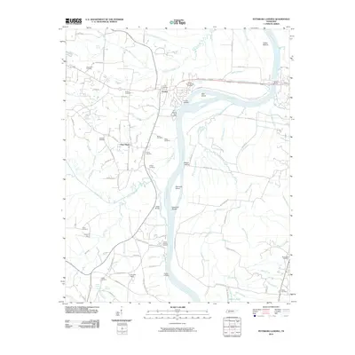 2010 Pittsburg Landing2010 Print · USGSCovers Hardin County, including Savannah, Adamsville, and other nearby areas
 - 2010 Map of Bath Springs, 2010 Print
 2010 Bath Springs2010 Print · USGSCovers Hardin County, including Clifton, Lott Landing, and other nearby areas
 - 2010 Map of Wolf Pit Ridge, 2010 Print
 2010 Wolf Pit Ridge2010 Print · USGSCovers Hardin County, including Center Star, Gillises Mills, and other nearby areas
 - 2010 Map of Martins Mills, 2010 Print
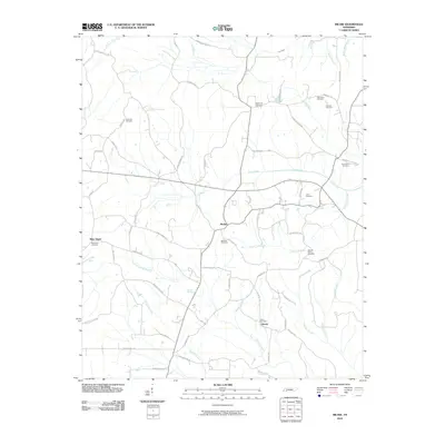
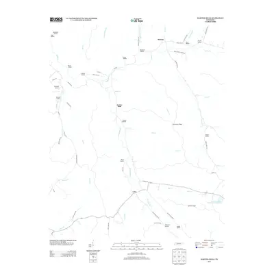
 2010 Martins Mills2010 Print · USGSCovers Hardin County, including Houston, Lutts, and other nearby areas
 - 2010 Map of Eagle Creek, 2010 Print
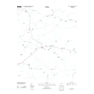
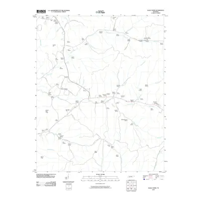 2010 Eagle Creek2010 Print · USGSCovers Hardin County, including Clifton, Clifton Junction, and other nearby areas
 - 2010 Map of Doskie, 2010 Print
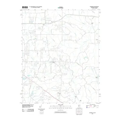
 2010 Doskie2010 Print · USGSCovers Hardin County, including Pine Flat, Cross Roads, and other nearby areas
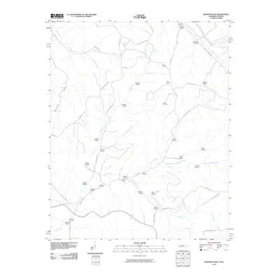
 - 2010 Map of Kendrick, 2010 Print
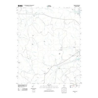
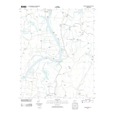
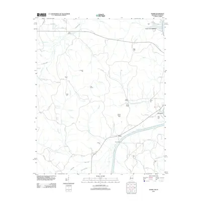
 2010 Kendrick2010 Print · USGSCovers Hardin County, including Corinth, Farmington, and other nearby areas
 - 2010 Map of Yellow Creek, 2010 Print
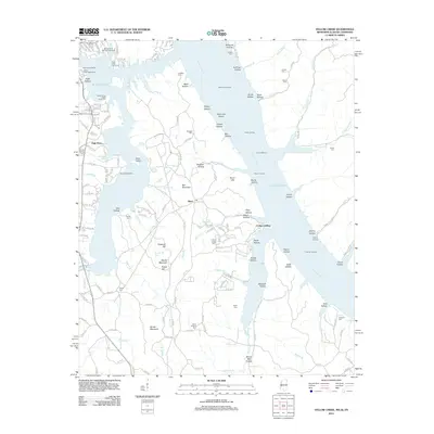
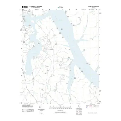 2010 Yellow Creek2010 Print · USGSCovers Hardin County, including Cooks Landing, High Point, and other nearby areas
 - 2010 Map of Hookers Bend, 2010 Print
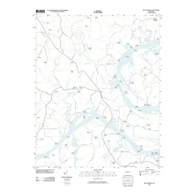
 2010 Hookers Bend2010 Print · USGSCovers Hardin County, including Saltillo, Swift, and other nearby areas
 - 2010 Map of Thurman, 2010 Print
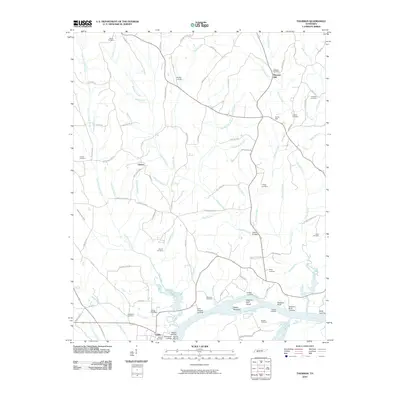 2010 Thurman2010 Print · USGSCovers Hardin County, including Saltillo, Point Pleasant, and other nearby areas
 - 2010 Map of Lowryville, 2010 Print
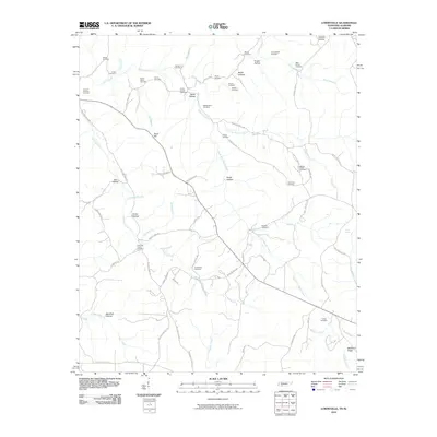 2010 Lowryville2010 Print · USGSCovers Hardin County, including Lowryville, Walnut Grove, and other nearby areas
 - 2010 Map of Counce, 2010 Print
 2010 Counce2010 Print · USGSCovers Hardin County, including Damon, Counce, and other nearby areas
 - 2010 Map of Pickwick, 2010 Print
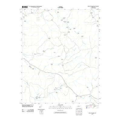
 2010 Pickwick2010 Print · USGSCovers Hardin County, including Bruton Branch, Red Sulphur Springs, and other nearby areas
 - 2010 Map of Michie, 2010 Print
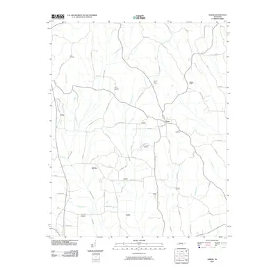
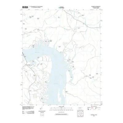
 2010 Michie2010 Print · USGSCovers Hardin County, including Michie, Liberty, and other nearby areas
 - 2012 Map of Doskie, 2012 Print
 2012 Doskie2012 Print · USGSCovers Hardin County, including Pine Flat, Cross Roads, and other nearby areas
 - 2012 Map of Kendrick, 2012 Print
 2012 Kendrick2012 Print · USGSCovers Hardin County, including Corinth, Farmington, and other nearby areas
 - 2012 Map of Yellow Creek, 2012 Print
 2012 Yellow Creek2012 Print · USGSCovers Hardin County, including Cooks Landing, High Point, and other nearby areas
 - 2013 Map of Eagle Creek, 2013 Print
 2013 Eagle Creek2013 Print · USGSCovers Hardin County, including Clifton, Clifton Junction, and other nearby areas
 - 2013 Map of Martins Mills, 2013 Print
 2013 Martins Mills2013 Print · USGSCovers Hardin County, including Houston, Lutts, and other nearby areas
 - 2013 Map of Ransom Stand, 2013 Print
 2013 Ransom Stand2013 Print · USGSCovers Hardin County, including Stout, Ransom Stand, and other nearby areas
Showing maps 1-25 of 98
Top cities of Hardin County
Frequently asked questions
- What are the different types of historical maps available for Hardin County?
- What is the oldest map of Hardin County?
- Where can I purchase historical maps of Hardin County for my home or office?
- Where can I download high-res historical maps of Hardin County?
- Are there historical topographic maps available for Hardin County?
- Is there historical aerial imagery available for Hardin County?
- Where are historical maps of Hardin County sourced from?