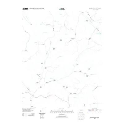
2013 Map of Ransom Stand
USGS Topo · Published 2013About this map
Ransom Stand serves as a central reference point in this upland landscape where the Tennessee-Alabama border defines the local geography. The area is characterized by a dense network of named hollows and ridges, reflecting a long history of family settlement and land use. Watercourses such as Horse Cr and Second Cr carve through the terrain, while landmarks like the Lutts Lookout Tower provide fixed points for navigation. The naming conventions throughout the quadrangle, including Patterson Hollow, McFalls Ridge, and Adams Hollow, offer significant value for genealogists tracing ancestral landholdings.
Find a feature on this map
67 named features on this map. Tap any name to fly to it.
Don’t see what you’re looking for? This feature index may not catch every label — zoom into the map to look around manually.
Map Details
Editions of this 2013 Ransom Stand Map
This is the sole edition of this map. No revisions or reprints were ever made.
Other maps of this area

1905 · Waynesboro
USGS Topo · 1:125,000

1911 · Iuka
USGS Topo · 1:48,000

1914 · Iuka
USGS Topo · 1:62,500

1924 · Gravelly Springs
USGS Topo · 1:48,000

1926 · Gravelly Springs
USGS Topo · 1:62,500

1935 · Wright
USGS Topo · 1:24,000

1936 · Wolf Pit Ridge
USGS Topo · 1:24,000

1936 · Waterloo
USGS Topo · 1:24,000

1936 · Threet
USGS Topo · 1:24,000

1936 · Cypress Inn
USGS Topo · 1:24,000