2000s (21st Century) Maps of Hawkins County, Tennessee
Explore 90 historic maps of Hawkins County from the 2000s (21st Century). These maps offer a rare glimpse into what life looked like during the 2000s — showing old roads, neighborhoods, homes, and landmarks that have changed or disappeared over time.
Whether you're researching your family's past, planning a metal detecting trip, or studying how Hawkins County's landscape evolved across the 2000s, these high-resolution maps are a powerful tool for exploring the history of this region.
- Focus on a specific era: All maps on this page are from the 2000s, giving you a focused view of this time period.
- See what’s changed: Compare century-old streets, trails, and buildings to today's modern landscape using overlays and satellite layers.
- Research with precision: Use these maps for genealogy, historical research, land use analysis, or educational projects.
- View, download, or print: Maps are fully viewable online in high resolution, and can be downloaded or printed for your own records.
Start exploring Hawkins County's history through authentic maps from the 2000s. This is your window into the past.
Hawkins County, TN maps
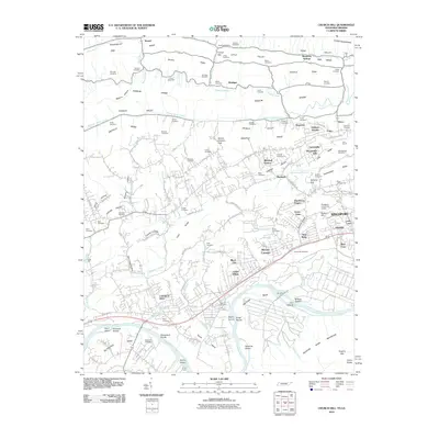
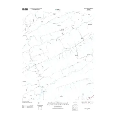
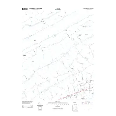
(90)- 2010 Map of Bulls Gap, 2010 Print
 2010 Bulls Gap2010 Print · USGSCovers Hawkins County, including Bulls Gap, Pleasant Hill, and other nearby areas
 - 2010 Map of Lovelace, 2010 Print
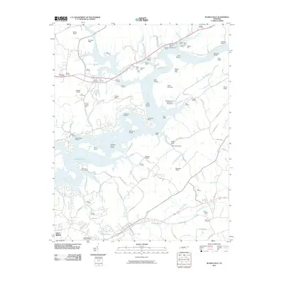
 2010 Lovelace2010 Print · USGSCovers Hawkins County, including Kingsport, Church Hill, and other nearby areas
 - 2010 Map of Bean Station, 2010 Print
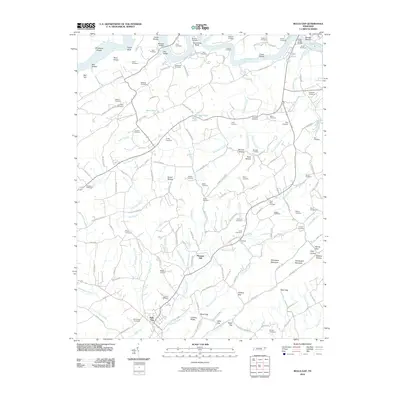
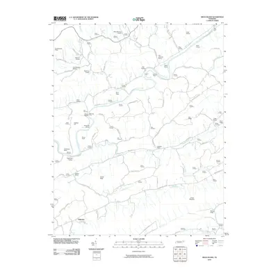
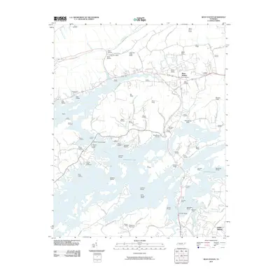 2010 Bean Station2010 Print · USGSCovers Hawkins County, including Morristown, Bean Station, and other nearby areas
 - 2010 Map of Baileyton, 2010 Print
 2010 Baileyton2010 Print · USGSCovers Hawkins County, including Baileyton, Brittontown, and other nearby areas
 - 2010 Map of Burem, 2010 Print
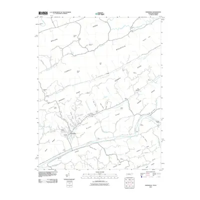
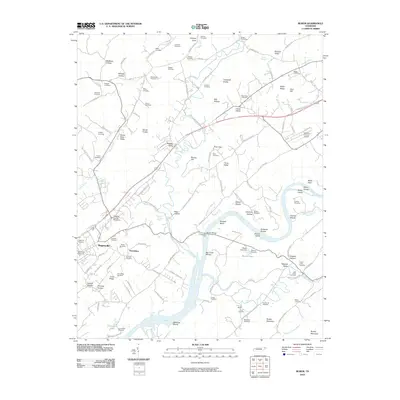 2010 Burem2010 Print · USGSCovers Hawkins County, including Rogersville, Surgoinsville, and other nearby areas
 - 2010 Map of McCloud, 2010 Print
 2010 McCloud2010 Print · USGSCovers Hawkins County, including Grigsby, Romeo, and other nearby areas
 - 2010 Map of Stony Point, 2010 Print
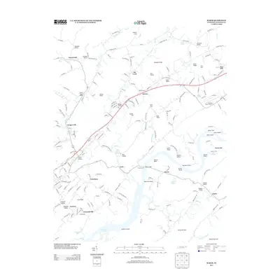
 2010 Stony Point2010 Print · USGSCovers Hawkins County, including Church Hill, Surgoinsville, and other nearby areas
 - 2010 Map of Swan Island, 2010 Print
 2010 Swan Island2010 Print · USGSCovers Hawkins County, including Xenophon, Papaw, and other nearby areas
 - 2010 Map of Mohawk, 2010 Print
 2010 Mohawk2010 Print · USGSCovers Hawkins County, including Mosheim, Bulls Gap, and other nearby areas
 - 2010 Map of Camelot, 2010 Print
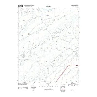
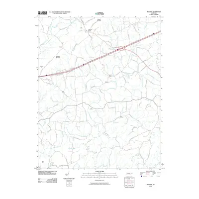
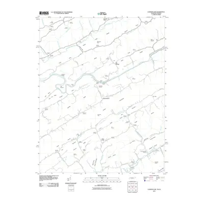
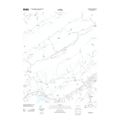
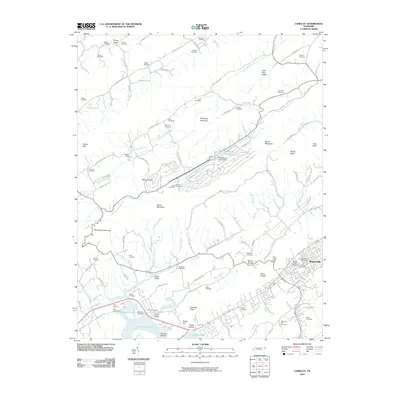 2010 Camelot2010 Print · USGSCovers Hawkins County, including Rogersville, Alumwell, and other nearby areas
 - 2010 Map of Lee Valley, 2010 Print
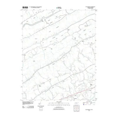
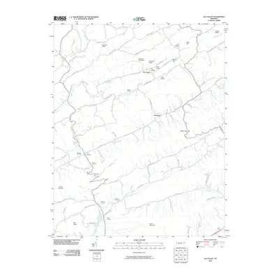 2010 Lee Valley2010 Print · USGSCovers Hawkins County, including Duck Creek, New Hope, and other nearby areas
 - 2010 Map of Russellville, 2010 Print
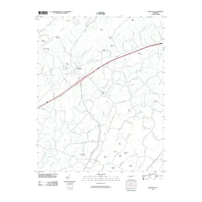
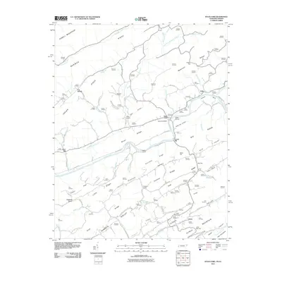
 2010 Russellville2010 Print · USGSCovers Hawkins County, including Morristown, Mooresburg, and other nearby areas
 - 2010 Map of Looneys Gap, 2010 Print
 2010 Looneys Gap2010 Print · USGSCovers Hawkins County, including Big Springs, Fisher Creek, and other nearby areas
 - 2010 Map of Plum Grove, 2010 Print
 2010 Plum Grove2010 Print · USGSCovers Hawkins County, including Church Hill, Surgoinsville, and other nearby areas
 - 2010 Map of Sneedville, 2010 Print
 2010 Sneedville2010 Print · USGSCovers Hawkins County, including Sneedville, Dry Branch, and other nearby areas
 - 2010 Map of Kyles Ford, 2010 Print
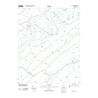
 2010 Kyles Ford2010 Print · USGSCovers Hawkins County, including Chestnut Grove, Livesay Mill, and other nearby areas
 - 2010 Map of Church Hill, 2010 Print
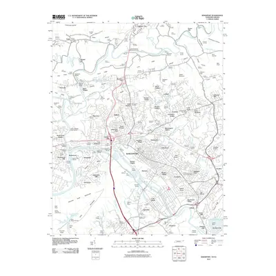
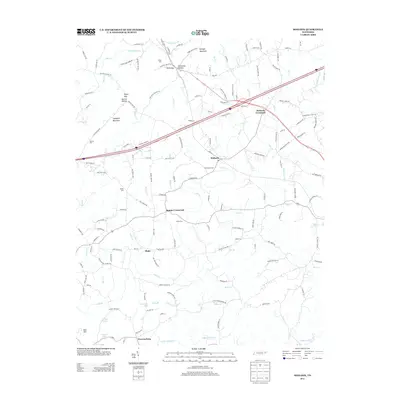
 2010 Church Hill2010 Print · USGSCovers Hawkins County, including Kingsport, Church Hill, and other nearby areas
 - 2010 Map of Kingsport, 2010 Print
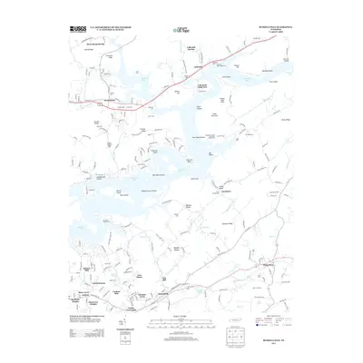
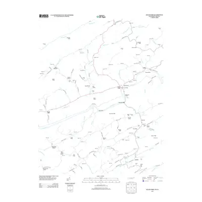
 2010 Kingsport2010 Print · USGSCovers Hawkins County, including Kingsport, Bloomingdale, and other nearby areas
 - 2013 Map of Camelot, 2013 Print
 2013 Camelot2013 Print · USGSCovers Hawkins County, including Rogersville, Alumwell, and other nearby areas
 - 2013 Map of Russellville, 2013 Print
 2013 Russellville2013 Print · USGSCovers Hawkins County, including Morristown, Mooresburg, and other nearby areas
 - 2013 Map of Lee Valley, 2013 Print
 2013 Lee Valley2013 Print · USGSCovers Hawkins County, including Duck Creek, New Hope, and other nearby areas
 - 2013 Map of Mohawk, 2013 Print
 2013 Mohawk2013 Print · USGSCovers Hawkins County, including Mosheim, Bulls Gap, and other nearby areas
 - 2013 Map of Kyles Ford, 2013 Print
 2013 Kyles Ford2013 Print · USGSCovers Hawkins County, including Chestnut Grove, Livesay Mill, and other nearby areas
 - 2013 Map of Burem, 2013 Print
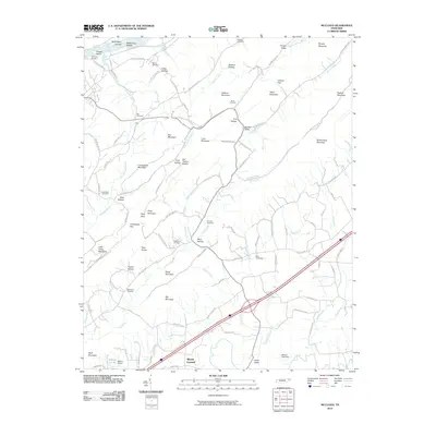
 2013 Burem2013 Print · USGSCovers Hawkins County, including Rogersville, Surgoinsville, and other nearby areas
 - 2013 Map of Plum Grove, 2013 Print
 2013 Plum Grove2013 Print · USGSCovers Hawkins County, including Church Hill, Surgoinsville, and other nearby areas
Showing maps 1-25 of 90
Top cities of Hawkins County
- Church Hill historical maps
- Rogersville historical maps
- Surgoinsville historical maps
- Mooresburg historical maps
- Bulls Gap historical maps
Frequently asked questions
- What are the different types of historical maps available for Hawkins County?
- What is the oldest map of Hawkins County?
- Where can I purchase historical maps of Hawkins County for my home or office?
- Where can I download high-res historical maps of Hawkins County?
- Are there historical topographic maps available for Hawkins County?
- Is there historical aerial imagery available for Hawkins County?
- Where are historical maps of Hawkins County sourced from?