2020s Maps of Hawkins County, Tennessee
Explore 18 historic maps of Hawkins County from the 2020s. These maps offer a rare glimpse into what life looked like during the 2020s — showing old roads, neighborhoods, homes, and landmarks that have changed or disappeared over time.
Whether you're researching your family's past, planning a metal detecting trip, or studying how Hawkins County's landscape evolved across the 2020s, these high-resolution maps are a powerful tool for exploring the history of this region.
- Focus on a specific era: All maps on this page are from the 2020s, giving you a focused view of this time period.
- See what’s changed: Compare century-old streets, trails, and buildings to today's modern landscape using overlays and satellite layers.
- Research with precision: Use these maps for genealogy, historical research, land use analysis, or educational projects.
- View, download, or print: Maps are fully viewable online in high resolution, and can be downloaded or printed for your own records.
Start exploring Hawkins County's history through authentic maps from the 2020s. This is your window into the past.
Hawkins County, TN maps
(18)- 2022 Map of Stony Point, 2022 Print
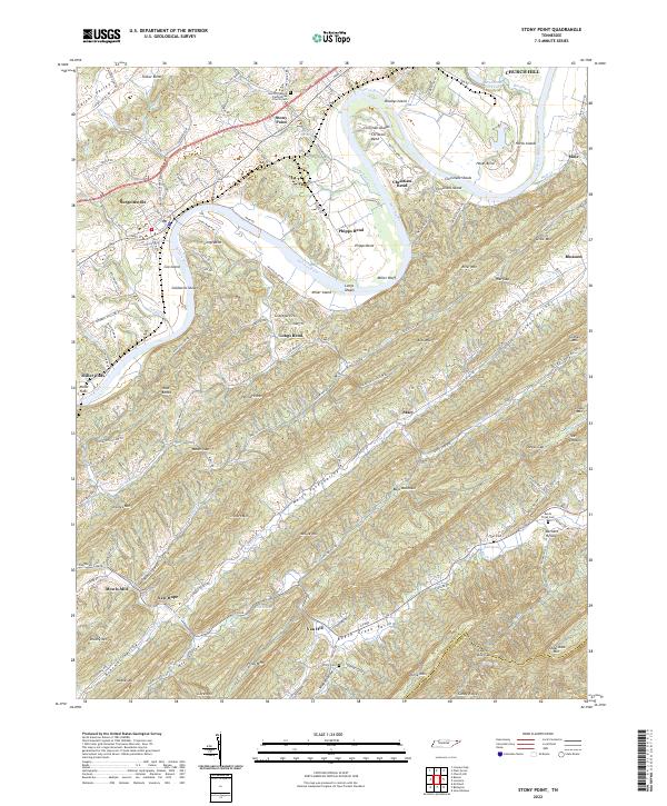 2022 Stony Point2022 Print · USGSHawkins County is documented here in the early twenty-first century, showcasing the deep-rooted settlements and river bends of the Holston River valley. Genealogists and local historians can trace legacy sites like New Providence Presbyterian Church Cem, Mowls Mill, and Ball Cem.
 - 2022 Map of Baileyton, 2022 Print
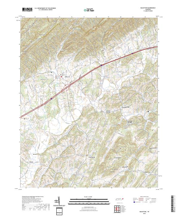 2022 Baileyton2022 Print · USGSGreene County is shown in the 2020s, where the Horton Highway connects rural communities under the shadow of the Hawkins County line ridges. Trace family history through Union Temple Church, Holland Mill, and dozens of family-named peaks like Marshall Knob.
 - 2022 Map of McCloud, 2022 Print
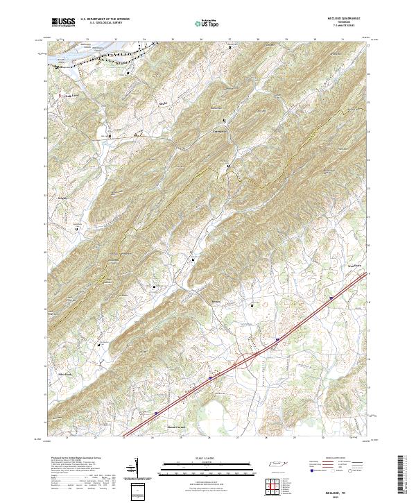 2022 McCloud2022 Print · USGSNortheast Tennessee's ridge-and-valley country is shown here at the Hawkins and Greene County border during the early 2020s. Genealogists can locate family burial sites like Reynolds or Burns cemeteries and trace old routes near McCloud and Romeo.
 - 2022 Map of Kingsport, 2022 Print
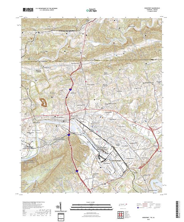 2022 Kingsport2022 Print · USGSKingsport and the Holston River forks are captured in the early 2020s, showing a landscape where modern industry meets deep Appalachian history. Genealogists and researchers can pinpoint family landmarks from Winegar Mill and Dorter Mill to the Old Kingsport Presbyterian Church.
 - 2022 Map of Lovelace, 2022 Print
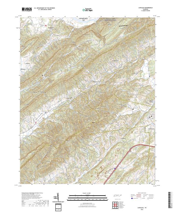 2022 Lovelace2022 Print · USGSNortheast Tennessee's ridge-and-valley landscape is captured here in recent years, where the Holston River meets the foothills of Bays Mountain. Researchers can find old family burial sites like Yankee Cem and landmarks such as Dykes Mill or Wire Knob.
 - 2022 Map of Church Hill, 2022 Print
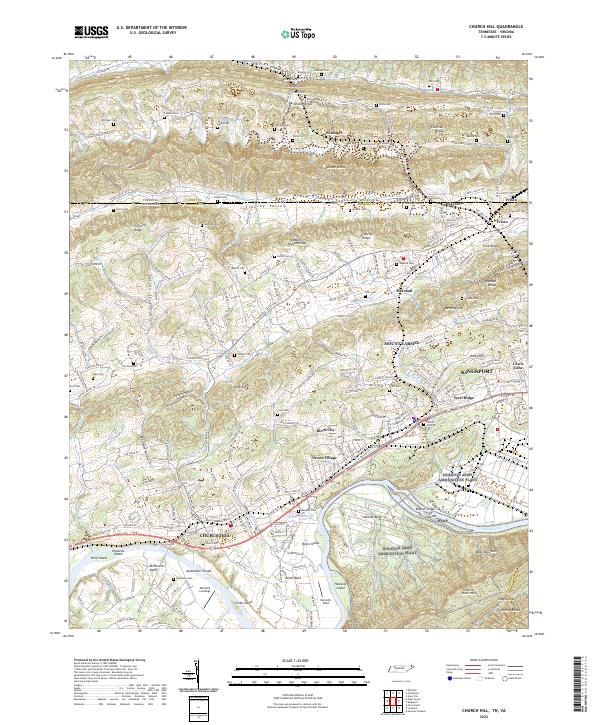 2022 Church Hill2022 Print · USGSThe Holston River corridor in Hawkins County is shown here during a period of modern growth and historical preservation. Genealogists can trace family heritage through dozens of burial sites like Liberty Hill Cem and landmarks such as Darnell's Field.
 - 2022 Map of Plum Grove, 2022 Print
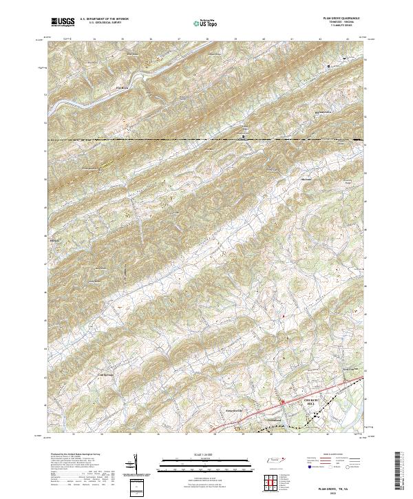 2022 Plum Grove2022 Print · USGSThe Tennessee and Virginia borderlands come into focus in this contemporary survey of the Clinch River corridor. Researchers can trace historic family-named settlements like Bellamytown and Okolona or locate ancestral burial grounds at Fields Old Cem and Hord Cem.
 - 2022 Map of Looneys Gap, 2022 Print
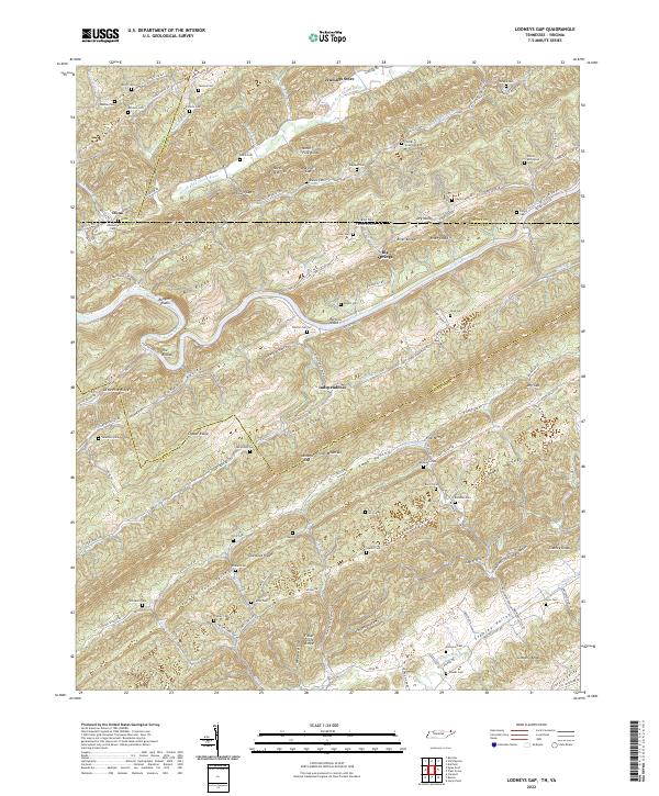 2022 Looneys Gap2022 Print · USGSSpanning the Tennessee and Virginia line in the 2020s, this map shows a landscape of deep ridges and family hollows. Genealogists can locate family burial sites like Sizemore Cem and Frazier-Sloan Cem near Looneys Gap.
 - 2022 Map of Burem, 2022 Print
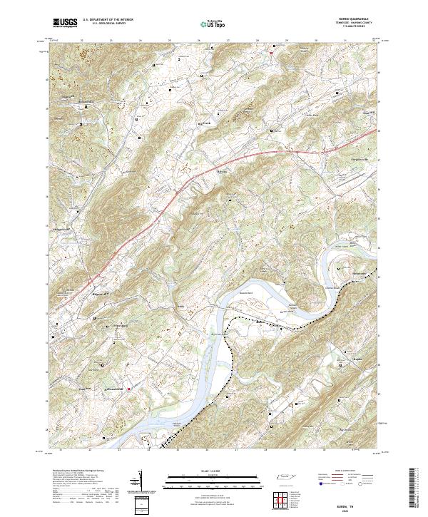 2022 Burem2022 Print · USGSHawkins County is seen here in recent years, centered on the historic river landing at Burem and the regional hub of Rogersville. Genealogists and researchers can locate family sites like Henard Mill or trace ancestral grounds at Loonys Cem and Harrison Cem.
 - 2022 Map of Lee Valley, 2022 Print
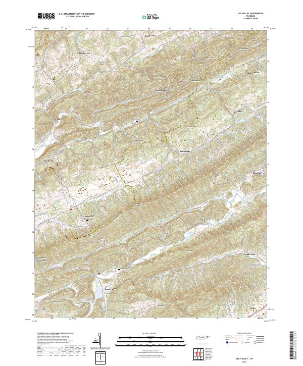 2022 Lee Valley2022 Print · USGSEast Tennessee's high ridges and hollows are captured here in the early twenty-first century as the traditional settlement patterns of Clinch Valley endure. Genealogists can locate family-named sites such as Murrelltown, Yount Town, and the McGinnis Cem near Spruce Pine.
 - 2022 Map of Swan Island, 2022 Print
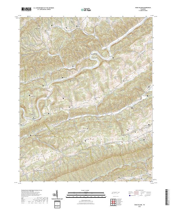 2022 Swan Island2022 Print · USGSThe Clinch River valley in East Tennessee remains a patchwork of ridge-top farms and river bends. Genealogists and historians can trace family burial grounds like Hensley Cem and Bowlin Cem near old settlements at Lawson Mill and Fairview.
 - 2022 Map of Kyles Ford, 2022 Print
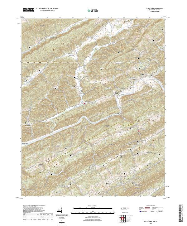 2022 Kyles Ford2022 Print · USGSEastern Tennessee and Southwestern Virginia intersect here in the early twenty-first century along the winding Clinch River. Researchers can locate family landmarks like Livesay Mill and numerous cemeteries including Testerman Cem and Bloomer Cem.
 - 2022 Map of Sneedville, 2022 Print
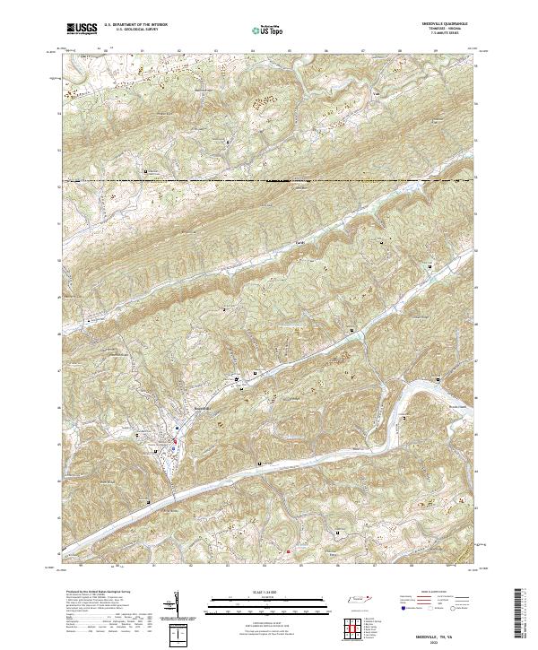 2022 Sneedville2022 Print · USGSSneedville and the ridges of the Tennessee-Virginia border are documented here in the early twenty-first century. Researchers can locate many family burial grounds and landmarks like the Hancock County Courthouse, Greenleaf Church, and Brooks Island.
 - 2022 Map of Mohawk, 2022 Print
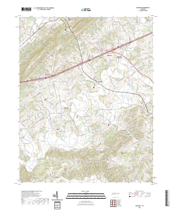 2022 Mohawk2022 Print · USGSThe East Tennessee ridge-and-valley landscape near the Greene-Hamblen border is captured here in recent decades. Researchers can trace family history through numerous landmarks like Wisecarver Cemetery, Bibles Chapel, and the community at Bulls Gap.
 - 2022 Map of Bulls Gap, 2022 Print
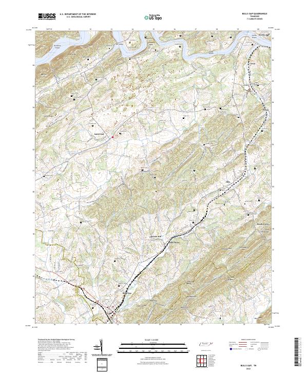 2022 Bulls Gap2022 Print · USGSBulls Gap and the surrounding ridges of Hawkins County are mapped here in the early 2020s. Genealogists can locate family burial grounds like McBride Cem and Bacon Cem, or trace the rail corridor through Ward Gap and Guthrie Gap.
 - 2022 Map of Camelot, 2022 Print
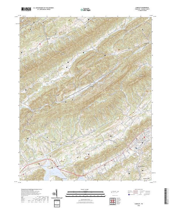 2022 Camelot2022 Print · USGSHawkins County, Tennessee, is captured here in the early twenty-first century, showing a landscape defined by the long ridges of the Appalachians. Genealogists and local historians can trace family locations near Pressmens Home, Shiloh Church, and Alumwell.
 - 2022 Map of Russellville, 2022 Print
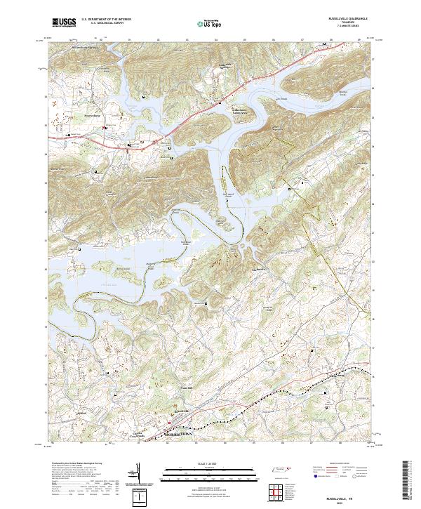 2022 Russellville2022 Print · USGSThe Cherokee Lake reservoir and the ridges of the Hawkins Co Hamblen Co border define this East Tennessee landscape in the early 2020s. Researchers can trace numerous family burial sites such as Bassett Cem and Bent Creek Cem or locate the historic Cain Mill.
 - 2023 Map of Bean Station, 2023 Print
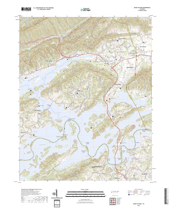 2023 Bean Station2023 Print · USGSThe Clinch Mountain ridges and the waters of Cherokee Lake define this region during its modern era of lakefront growth and rural preservation. Researchers can trace numerous family burial sites and historic river crossings like Marshalls Ferry, Long Ferry, and the Central United Methodist Church Cem.
End of results
Showing maps 1-18 of 18
Top cities of Hawkins County
- Church Hill historical maps
- Rogersville historical maps
- Surgoinsville historical maps
- Mooresburg historical maps
- Bulls Gap historical maps
Frequently asked questions
- What are the different types of historical maps available for Hawkins County?
- What is the oldest map of Hawkins County?
- Where can I purchase historical maps of Hawkins County for my home or office?
- Where can I download high-res historical maps of Hawkins County?
- Are there historical topographic maps available for Hawkins County?
- Is there historical aerial imagery available for Hawkins County?
- Where are historical maps of Hawkins County sourced from?