Old Maps of Sunrise, Tennessee for Academic Research
Study the evolution of Sunrise with 10 high-resolution historic maps. Whether you're teaching, researching, or modeling changes in land use, these maps provide essential visual documentation of urban, environmental, and geographic change.
- Analyze long-term change: Track patterns in development, transportation, and natural features.
- Ideal for environmental or urban studies: Support academic projects with primary historical map data.
- Use in the classroom or lab: Educators and researchers rely on these maps to bring historical context to life.
These maps are a powerful tool for teaching, research, and visualizing how Sunrise has changed over the decades.
Sunrise, TN maps
(10)- 1901 Map of Colombia
 1901 Colombia1901 Print · USGSMiddle Tennessee at the close of the century reveals a landscape shaped by river bends and a dense network of turnpikes. Genealogists can trace family roots through settlements like Santa Fe and Warner or locate landmarks such as the U.S. Arsenal and Zion Ch.3 unique versions available
 - 1936 Map of Sunrise
 1936 Sunrise1936 Print · USGSThe rural landscape of Hickman County is captured here in the mid-1930s, showing a transition toward electrification and modern transit. Researchers can locate early schools and churches like Brushy Sch and Raleigh Chapel or trace the Nashville Chattanooga and St Louis Ry through Deans.
 - 1952 Map of Sunrise, 1957 Print
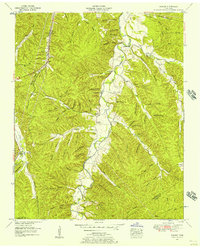 1952 Sunrise1957 Print · USGSHickman County in the early fifties is captured here as a landscape of isolated hollows and creek-side settlements. Researchers can trace the path of the Nashville Chattanooga & St Louis rail line or locate ancestral sites at Whiteside Cem and Rawleigh Chapel.2 unique versions available
 - 1956 Map of Columbia, 1960 Print
 1956 Columbia1960 Print · USGSMiddle Tennessee in the mid-fifties presents a landscape of established river towns and critical rail hubs before the arrival of the modern interstate system. Researchers can trace the routes of the Louisville and Nashville railroad or locate historic landmarks like Stones River National Military Park and the Tennessee National Wildlife Refuge.6 unique versions available
 - 1986 Map of Hohenwald
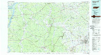 1986 Hohenwald1986 Print · USGSThe Western Highland Rim of Tennessee comes into focus during the mid-eighties, showing the deep river valleys and high ridges of Lewis and Perry counties. Researchers can trace the path of the Natchez Trace Parkway or locate interior settlements like Chestnut Grove, Farmers Exchange, and Hustburg.3 unique versions available
 - 2010 Map of Sunrise, 2010 Print
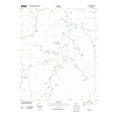 2010 Sunrise2010 Print · USGSHickman County at the turn of the millennium reveals a rugged landscape of mining hollows and family cemeteries. Trace the legacy of early industry and settlement through sites like the Swan Bluff-Haw Branch Mines, Watson Cemetery, and Jenkins Waterfall Falls.
 - 2013 Map of Sunrise, 2013 Print
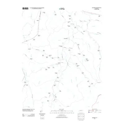 2013 Sunrise2013 Print · USGSHickman County’s creek-cut valleys and upland ridges are captured here in the early twenty-first century. Researchers can trace the rural layout of Sunrise, Buffalo, and Bond while identifying local landmarks like Jenkins Falls and Grimmett Hill.
 - 2016 Map of Sunrise, 2016 Print
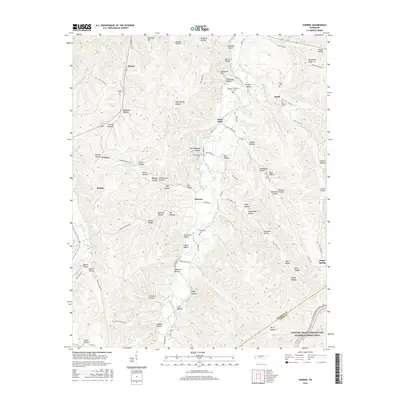 2016 Sunrise2016 Print · USGSHickman County settlement patterns are preserved here in the mid-2010s, showing the intersection of deep-hollow homesteading and the Natchez Trace. Genealogists can trace family connections through sites like Whiteside Cem, Sunrise, and Watson.
 - 2019 Map of Sunrise, 2019 Print
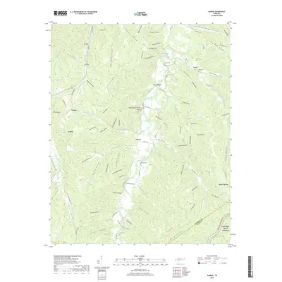 2019 Sunrise2019 Print · USGSHickman and Lewis Counties appear in this modern survey of the Tennessee backcountry as a series of tightly folded hollows and ridges. Family historians can trace rural roots through numerous burial grounds like Watson Cem and Anderson Cem or landmarks such as Swan Bluff.
 - 2022 Map of Sunrise, 2022 Print
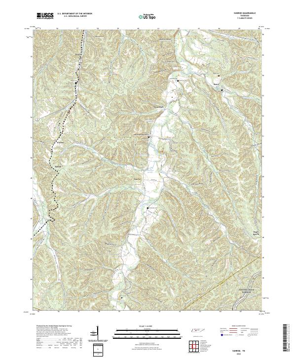 2022 Sunrise2022 Print · USGSThe rural hills of Middle Tennessee are captured here in the early twenty-first century, showing a landscape defined by deep hollows and creek-side settlements. Researchers can trace family history through numerous burial sites like Whiteside Cem and Campground Cem along the banks of Big Swan Creek.
End of results
Showing maps 1-10 of 10
Top cities near Sunrise
- Mount Pleasant historical maps
- Hohenwald historical maps
- Centerville historical maps
- The Farm historical maps
Frequently asked questions
- What are the different types of historical maps available for Sunrise?
- What is the oldest map of Sunrise?
- Where can I purchase historical maps of Sunrise for my home or office?
- Where can I download high-res historical maps of Sunrise?
- Are there historical topographic maps available for Sunrise?
- Is there historical aerial imagery available for Sunrise?
- Where are historical maps of Sunrise sourced from?