1900s (20th Century) Maps of Lake County, Tennessee
Explore 32 historic maps of Lake County from the 1900s (20th Century). These maps offer a rare glimpse into what life looked like during the 1900s — showing old roads, neighborhoods, homes, and landmarks that have changed or disappeared over time.
Whether you're researching your family's past, planning a metal detecting trip, or studying how Lake County's landscape evolved across the 1900s, these high-resolution maps are a powerful tool for exploring the history of this region.
- Focus on a specific era: All maps on this page are from the 1900s, giving you a focused view of this time period.
- See what’s changed: Compare century-old streets, trails, and buildings to today's modern landscape using overlays and satellite layers.
- Research with precision: Use these maps for genealogy, historical research, land use analysis, or educational projects.
- View, download, or print: Maps are fully viewable online in high resolution, and can be downloaded or printed for your own records.
Start exploring Lake County's history through authentic maps from the 1900s. This is your window into the past.
Lake County, TN maps
(32)- 1925 Map of Reelfoot Lake
 1925 Reelfoot Lake1925 Print · USGSNorthwestern Tennessee in the mid-twenties is defined here by the intricate waters of the Reelfoot basin and the shifting course of the Mississippi. Genealogists and historians can trace family-named sites like Rodgers School and Jones School, or locate old river landings including Cates and Whites Landing.3 unique versions available
 - 1939 Map of Reelfoot Lake
 1939 Reelfoot Lake1939 Print · USGSReelfoot Lake and the Mississippi River bottoms are captured here in the late thirties, showing a landscape defined by water and woods. Genealogists and historians can trace family locations near Owl City, Free Will Ch & Cem, and Chandlers Mill Sch.2 unique versions available
 - 1939 Map of Portageville, 1941 Print
 1939 Portageville1941 Print · USGSThe Missouri Bootheel meets the winding Mississippi River in the 1930s, showing a landscape defined by drainage bayous and new rail towns. Genealogists can locate family landmarks like Branham Cem and numerous rural schoolhouses including Walnut Grove Sch and Stanley Sch.2 unique versions available
 - 1939 Map of Bayouville, 1942 Print
 1939 Bayouville1942 Print · USGSThe Missouri bootheel and the winding Kentucky riverfront are shown here just before the war. Genealogists can trace family names and local hubs like Pinhook Ch & Sch, Sugar Tree Ridge Sch, and the St Louis Southwestern RR.2 unique versions available
 - 1939 Map of Dyersburg, 1943 Print
 1939 Dyersburg1943 Print · USGSDyer and Obion Counties in the late thirties are shown here as a landscape of river-bottom farms and emerging rail hubs. Genealogists can trace family roots through numerous local landmarks like Springhill Ch & Cem, Viar Sch, and the Illinois Central corridor.2 unique versions available
 - 1939 Map of Caruthersville, 1943 Print
 1939 Caruthersville1943 Print · USGSThe Missouri bootheel and Tennessee riverfront are documented here just before the Second World War, showing a landscape defined by the Mississippi's bends. Researchers can trace rural lineages through local landmarks like Mt Olive Ch & Sch, Mengelwood, and the many riverfront schools.2 unique versions available
 - 1951 Map of Bondurant, 1952 Print
 1951 Bondurant1952 Print · USGSThe Kentucky-Tennessee borderlands and the Mississippi River bottoms are captured here during the early fifties. Genealogists and historians can trace the Illinois Central rail line through rural hubs like Bondurant, Sassafras Ridge, and Tyler.
 - 1951 Map of Hubbard Lake, 1953 Print
 1951 Hubbard Lake1953 Print · USGSThe Kentucky Bend is captured here in the early fifties, showing the unique river-bound exclave created by the looping Mississippi. Genealogists can locate family landmarks on this isolated peninsula including the Kentucky Bend Sch and local Cem.2 unique versions available
 - 1951 Map of Caruthersville, 1968 Print
 1951 Caruthersville1968 Print · USGSThe Missouri Bootheel meets the Tennessee bottomlands in the early fifties, revealing a landscape of river landings and levee-protected towns. Genealogists can trace family roots through sites like Needmore Cem & Ch, Indian Mound, and the old rail stops of the St Louis Southwestern.
 - 1952 Map of Miston, 1953 Print
 1952 Miston1953 Print · USGSDyer and Lake counties in the early fifties were defined by the winding Obion River and the small hamlets along the Illinois Central tracks. Genealogists can trace family roots through several local landmarks like Horn Ridge Cem, Cunningham Sch, and Bogota.2 unique versions available
 - 1955 Map of Portageville
 1955 Portageville1955 Print · USGSThe Missouri Bootheel and Tennessee borderlands are captured here in the mid-fifties, showing a landscape shaped by the Mississippi River. Researchers can trace old rural schoolhouses like LaFont Sch, family burial grounds such as Darnell Cem, and the rail-side growth of Portageville.
 - 1955 Map of Bayouville
 1955 Bayouville1955 Print · USGSThe river bottomlands of the Missouri-Kentucky border are shown in the mid-1950s as a landscape of intensive levee engineering and rural community nodes. Researchers can locate many now-obscure sites like Henderson Mound, Barnes Ridge Ch, and the school at Madrid Bend.
 - 1956 Map of Reelfoot Lake, 1957 Print
 1956 Reelfoot Lake1957 Print · USGSNorthwest Tennessee in the 1950s was a landscape defined by the shifting waters of the Mississippi and the cypress brakes of Reelfoot. Researchers can trace rural lineages through sites like Crocketts Chapel & Cem, Star of Bethlehem Ch, and the defunct rails of the Illinois Central Railroad.
 - 1956 Map of Dyersburg, 1960 Print
 1956 Dyersburg1960 Print · USGSThe Four Rivers region comes alive in the mid-fifties, capturing the intricate borderlands of Tennessee, Kentucky, and Missouri. Genealogists and historians can trace the rail-and-river networks connecting Dyersburg, Caruthersville, and the shoreline of Reelfoot Lake.4 unique versions available
 - 1957 Map of Caruthersville
 1957 Caruthersville1957 Print · USGSThe Mississippi River floodplain comes alive in the mid-1950s, detailing a landscape of revetments, dikes, and river landings. Genealogists can trace family roots through numerous rural landmarks like Speers Cem & Ch, Kinfolk Ridge, and Needmore.
 - 1961 Map of Dyersburg, 1965 Print
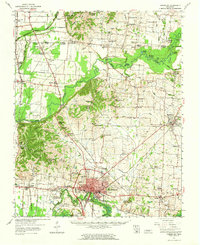 1961 Dyersburg1965 Print · USGSDyer County at the start of the sixties reveals a thriving rail-and-river hub centered on the growing city of Dyersburg. Researchers can trace family roots through numerous rural landmarks like Bruces Chapel, Cloverdale Sch, and the Newbern Cem.
 - 1964 Map of Tiptonville, 1965 Print
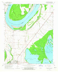 1964 Tiptonville1965 Print · USGSTiptonville and the Mississippi River bottoms are captured in the mid-sixties, showing a landscape defined by shifting river channels and the waters of Reelfoot Lake. Genealogists can locate family sites like Cronanville Cem, Mt Zion Ch, and the Indian Mound.2 unique versions available
 - 1964 Map of Samburg, 1965 Print
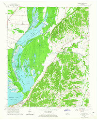 1964 Samburg1965 Print · USGSReelfoot Lake and the surrounding bottomlands are captured here in the mid-1960s as both a refuge and a living community. Genealogists and local historians can trace the roads connecting Samburg, Walnut Log, and Roneys Store, or locate family sites near Midway Ch and Mt Zion Ch.2 unique versions available
 - 1964 Map of Ridgely, 1965 Print
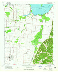 1964 Ridgely1965 Print · USGSMid-century Lake County comes to life as a network of wetland refuges and agricultural rail towns before modern landscape changes. Genealogists can locate family sites at New Haven Cem and Crocketts Chapel, or trace the tracks of the Illinois Central through Ridgely and Wynnburg.2 unique versions available
 - 1967 Map of Reelfoot Lake
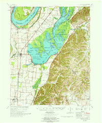 1967 Reelfoot Lake1967 Print · USGSReelfoot Lake and the Mississippi riverfront are captured here in the mid-sixties, showing a landscape defined by wetlands and rail-line towns. Researchers can trace family sites at Owl City or Samburg, and locate landmarks like Mt Zion Ch and Oak Ridge Sch.
 - 1969 Map of Hubbard Lake, 1972 Print
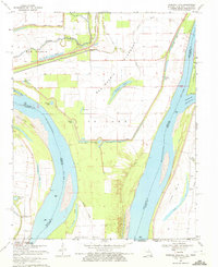 1969 Hubbard Lake1972 Print · USGSThe Mississippi River bends through the tri-state borderlands of Missouri, Kentucky, and Tennessee during the late 1960s. Researchers can trace the legacy of river settlements and flood control through features like the Madrid Bend Ch, Adams Cem, and the massive New Madrid Levee.2 unique versions available
 - 1969 Map of Bondurant, 1972 Print
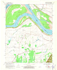 1969 Bondurant1972 Print · USGSThe tri-state border region of Kentucky, Missouri, and Tennessee comes alive in this late-sixties study of the Mississippi river bends. Genealogists can locate family landmarks like Sassafras Ridge Ch, Western Sch, and the Indian Mound.2 unique versions available
 - 1971 Map of Tennemo, 1972 Print
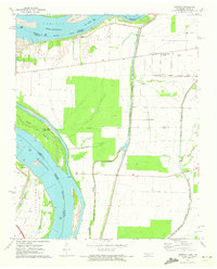 1971 Tennemo1972 Print · USGSThe Mississippi River bottoms of Lake County come into focus during the early 1970s, showing a landscape defined by levees and drainage bayous. Researchers can trace the layout of riverside hamlets like Tennemo and Owl Hoot, or locate the Cottonwood Ch near the Tennessee-Missouri border.2 unique versions available
 - 1971 Map of Caruthersville, 1973 Print
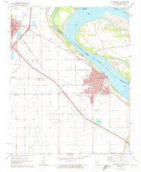 1971 Caruthersville1973 Print · USGSThe Mississippi River levee system and early interstate expansion define this riverfront area in the early seventies. Trace local genealogy and industry through Magnolia Cem, the Indian Mound, and the busy St Louis Southwestern rail lines.3 unique versions available
 - 1971 Map of Point Pleasant, 1973 Print
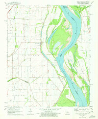 1971 Point Pleasant1973 Print · USGSThe Missouri-Tennessee borderlands in the early 1970s reveal a landscape of river-town life and family burial grounds along the Mississippi River. Researchers can trace local roots at Le Sieur Cem, Lily of the Valley Ch, and the ferry crossing at Linda.2 unique versions available
Showing maps 1-25 of 32
Top cities of Lake County
Frequently asked questions
- What are the different types of historical maps available for Lake County?
- What is the oldest map of Lake County?
- Where can I purchase historical maps of Lake County for my home or office?
- Where can I download high-res historical maps of Lake County?
- Are there historical topographic maps available for Lake County?
- Is there historical aerial imagery available for Lake County?
- Where are historical maps of Lake County sourced from?