2010s Maps of Lake County, Tennessee
Explore 44 historic maps of Lake County from the 2010s. These maps offer a rare glimpse into what life looked like during the 2010s — showing old roads, neighborhoods, homes, and landmarks that have changed or disappeared over time.
Whether you're researching your family's past, planning a metal detecting trip, or studying how Lake County's landscape evolved across the 2010s, these high-resolution maps are a powerful tool for exploring the history of this region.
- Focus on a specific era: All maps on this page are from the 2010s, giving you a focused view of this time period.
- See what’s changed: Compare century-old streets, trails, and buildings to today's modern landscape using overlays and satellite layers.
- Research with precision: Use these maps for genealogy, historical research, land use analysis, or educational projects.
- View, download, or print: Maps are fully viewable online in high resolution, and can be downloaded or printed for your own records.
Start exploring Lake County's history through authentic maps from the 2010s. This is your window into the past.
Lake County, TN maps
(44)- 2010 Map of Hubbard Lake, 2010 Print
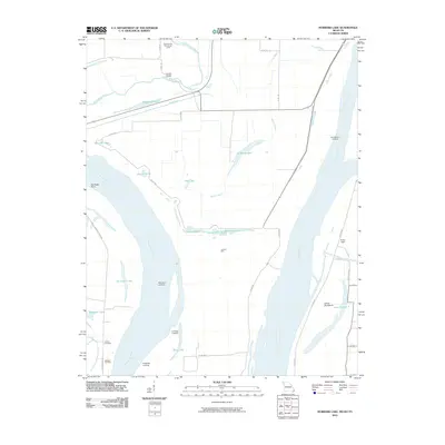 2010 Hubbard Lake2010 Print · USGSThe alluvial plains of Missouri and Kentucky are shown here in the early twenty-first century, centered on a complex of river landings and oxbow lakes. Trace family history and river commerce at Henderson Landing, Adams Cemetery, and the geographic curiosity of Kentucky Point.
 - 2010 Map of Tennemo, 2010 Print
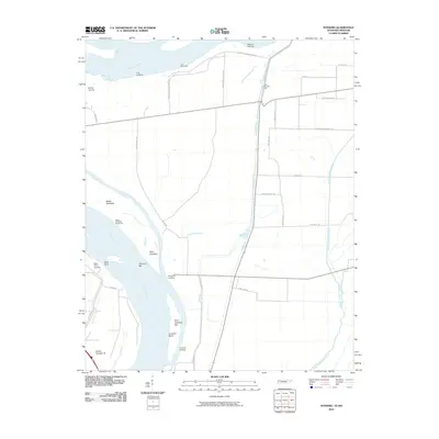 2010 Tennemo2010 Print · USGSIn the early twenty-first century, the Tennessee-Missouri borderlands remained a landscape defined by the shifting currents of the great river. Genealogists and river historians can trace the locations of old shoreline hubs like Tennemo Landing, Bells Point Landing, and Island Number 16.
 - 2010 Map of Caruthersville, 2010 Print
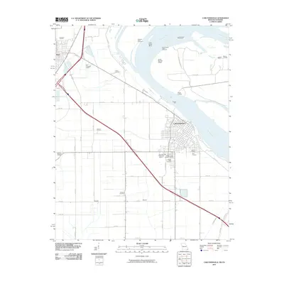 2010 Caruthersville2010 Print · USGSIn the Missouri Bootheel during the early 21st century, Caruthersville serves as a vital river port along the Mississippi River. Genealogists and local historians can trace family burial sites at Little Prairie Cemetery or Patterson Cemetery, and locate river landmarks like Powells Ferry.
 - 2010 Map of Samburg, 2010 Print
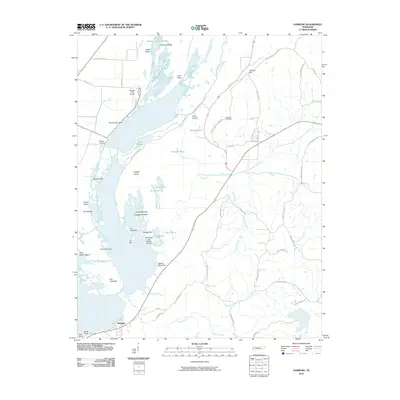 2010 Samburg2010 Print · USGSThe shore of Reelfoot Lake in northwestern Tennessee comes into focus here during the early twenty-first century. Genealogists and local historians can locate lakeside landmarks like Bryants Camp and Crescent Cemetery alongside the winding Bayou du Chien.
 - 2010 Map of Mooring, 2010 Print
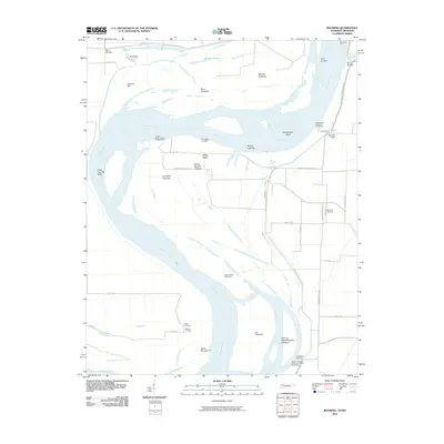 2010 Mooring2010 Print · USGSThe riverfront landings and floodplain cemeteries of the Tennessee-Missouri border are documented here in the early twenty-first century. Researchers can trace family history at Mooring Cemetery or locate old river access points like Riley Landing and Crenshaw Landing.
 - 2010 Map of Stanley, 2010 Print
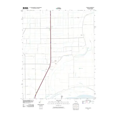 2010 Stanley2010 Print · USGSPemiscot County at the start of the twenty-first century shows a landscape defined by the Mississippi River and its managed drainage. Genealogists can locate family burial sites at Dry Bayou Cemetery and Averill Cemetery near the banks of Robinson Bayou.
 - 2010 Map of Tiptonville, 2010 Print
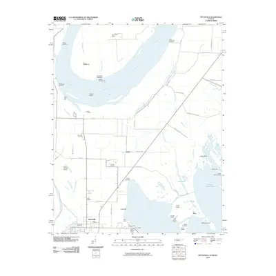 2010 Tiptonville2010 Print · USGSTiptonville and the banks of the Mississippi River are captured in this 2010 survey as the landscape transitions toward Reelfoot Lake. Genealogists can trace local roots through Citizen Cemetery, Parks Cemetery, and the Tiptonville Post Office while exploring historic river sites like Island Number Ten.
 - 2010 Map of Point Pleasant, 2010 Print
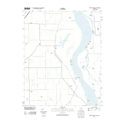 2010 Point Pleasant2010 Print · USGSThe Missouri Bootheel and the Mississippi River banks are captured here at the turn of the millennium. Genealogists can trace family heritage at Le Sieur Cemetery and Yount Cemetery, or locate old river access points like Batesell Landing and the Tiptonville Ferry.
 - 2010 Map of Bondurant, 2010 Print
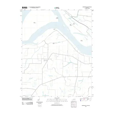 2010 Bondurant2010 Print · USGSNear the tri-state junction in the early twenty-first century, this landscape reveals the deep history of the river's shifting channels and early inhabitants. Researchers can locate the ancient Indian Mound or trace the geography of the Mississippi River through features like Island Number 7 and Sassafras Ridge.
 - 2010 Map of Miston, 2010 Print
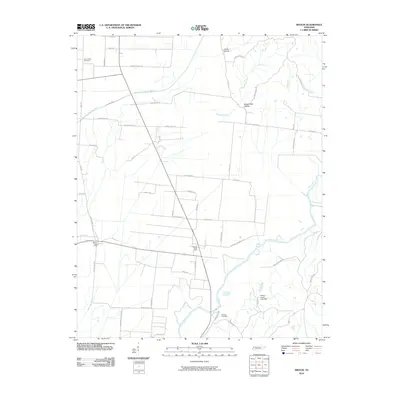 2010 Miston2010 Print · USGSNorthwestern Tennessee was a landscape of bayous and river bottoms at the start of the twenty-first century. Genealogists and researchers can trace the rural pulse of Lake and Dyer counties through the Miston Post Office, Horn Ridge Cemetery, and the Obion River crossings.
 - 2010 Map of Ridgely, 2010 Print
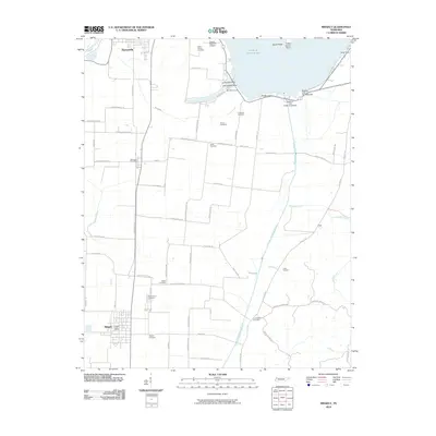 2010 Ridgely2010 Print · USGSLake County's unique wetland landscape is captured here in the early twenty-first century, centered on the southern shores of Reelfoot Lake. Genealogists and local historians can trace family locations through numerous sites like Ridgely Cemetery, Burrus Cemetery, and the Wynnburg Post Office.
 - 2012 Map of Caruthersville, 2012 Print
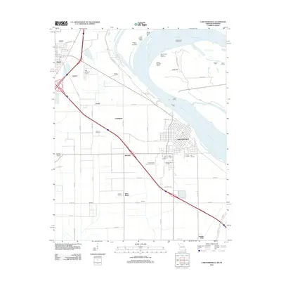 2012 Caruthersville2012 Print · USGSThe Missouri Bootheel near the Mississippi River comes into focus during the early twenty-first century, showing a landscape of river engineering and ancestral sites. Researchers can trace family names at Morgan Ridge Cemetery or investigate local landmarks like Kinfolks Ridge and the Indian Mound.
 - 2012 Map of Stanley, 2012 Print
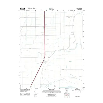 2012 Stanley2012 Print · USGSThe Missouri bootheel along the Mississippi River is documented here just after the turn of the millennium. Local historians can trace family roots through several small burial sites like Ross Cemetery and Averill Cemetery or locate the quiet settlements of Gayoso and Stanley.
 - 2012 Map of Point Pleasant, 2012 Print
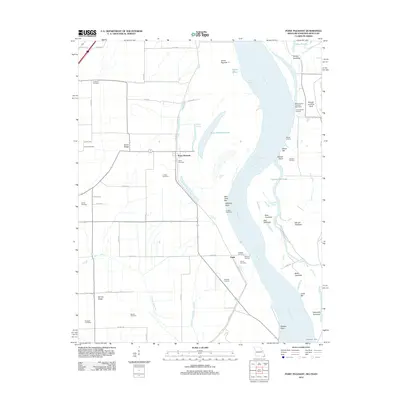 2012 Point Pleasant2012 Print · USGSThe Missouri bootheel and Mississippi River bottoms are shown in detail during the early 2010s, revealing a landscape of chutes, bars, and ridges. Genealogists can locate numerous local burial sites like Creviosur Cemetery and Girvin Cemetery or trace the riverbank at Point Pleasant.
 - 2012 Map of Hubbard Lake, 2012 Print
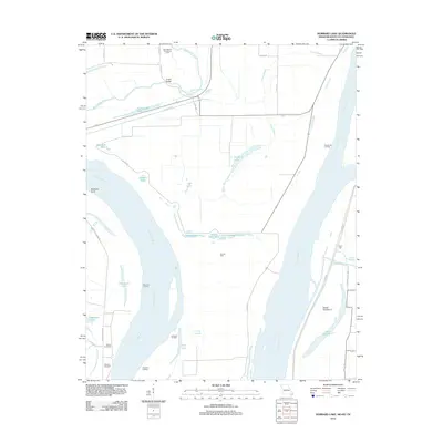 2012 Hubbard Lake2012 Print · USGSThe Missouri-Kentucky borderlands along the Mississippi River are shown here in detail during the early 21st century. Genealogists and river historians can trace family-named sites like Whitson Cemetery and the landings at Morrison Landing and La Forge Landing.
 - 2013 Map of Bondurant, 2013 Print
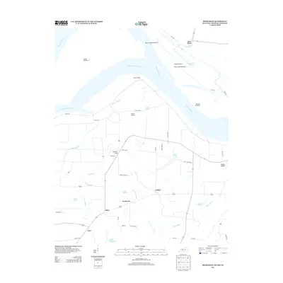 2013 Bondurant2013 Print · USGSThe tri-state border region of the Mississippi River floodplain is captured here in the early twenty-first century. Genealogists and local historians can trace family-named sites and rural settlements like Sassafras Ridge, Bondurant, and the ancient Indian Mound.
 - 2013 Map of Miston, 2013 Print
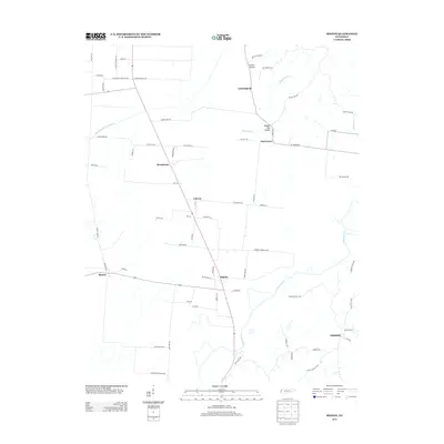 2013 Miston2013 Print · USGSNorthwest Tennessee’s river bottomlands are captured in this recent survey, showing the rural communities between the Obion River and Horn Ridge. Genealogists can trace family-named roads and locate the centers of Miston, Bogota, and Millsfield.
 - 2013 Map of Ridgely, 2013 Print
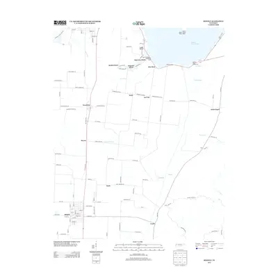 2013 Ridgely2013 Print · USGSReelfoot Lake's eastern shoreline is captured in this survey, showcasing the unique lakefront communities and agricultural hamlets of Lake County. Researchers can trace family-named roads and landmarks like Magnolia Beach, Webb Chapel, and the settlement of Ridgely.
 - 2013 Map of Samburg, 2013 Print
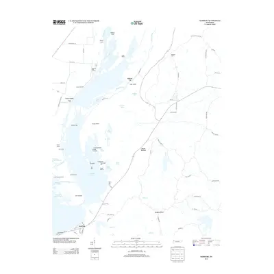 2013 Samburg2013 Print · USGSReelfoot Lake's intricate shoreline and wetlands are the focus of this Tennessee survey from the early 2010s. Researchers can trace local lakefront life through features like Samburg, Walnut Log, and Millers Boat Dock.
 - 2013 Map of Tennemo, 2013 Print
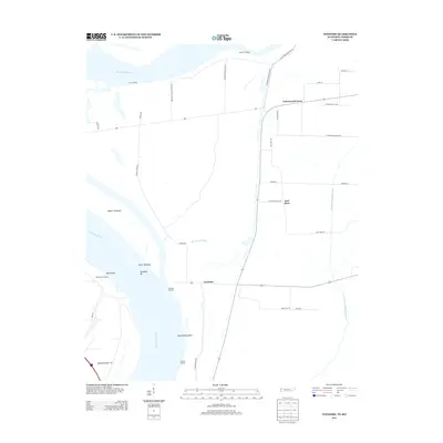 2013 Tennemo2013 Print · USGSThe West Tennessee riverfront and the community of Tennemo are captured here in the early twenty-first century. Genealogists and local historians can trace the network of old river landings and bayous, including Tennemo Landing, Owl Hoot, and Blue Bank Bayou.
 - 2013 Map of Tiptonville, 2013 Print
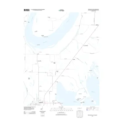 2013 Tiptonville2013 Print · USGSTiptonville and the river bottoms of Lake County come into focus during this early twenty-first-century survey. Genealogists and researchers can trace local landmarks like Cronanville, Phillippy, and the riverfront history at Bessie Landing.
 - 2013 Map of Mooring, 2013 Print
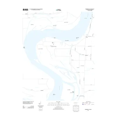 2013 Mooring2013 Print · USGSThe Mississippi River floodplain comes into sharp focus in the early 2010s, illustrating the intricate levee systems and landings of Lake County. Researchers can trace the legacy of river commerce through landmarks like Mooring, Island Number 14, and Cherokee Landing.
 - 2015 Map of Stanley, 2015 Print
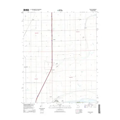 2015 Stanley2015 Print · USGSSouthern Pemiscot County is captured here in the mid-2010s, where the Missouri-Tennessee border follows the winding course of the Mississippi River. Trace local family history through Ross Cemetery, the canal network of Ditch Number 24, and settlements like Gayoso.
 - 2015 Map of Hubbard Lake, 2015 Print
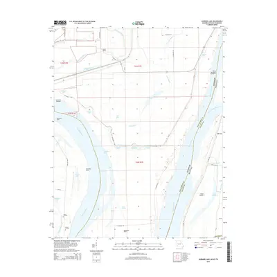 2015 Hubbard Lake2015 Print · USGSThe Kentucky Bend exclave is showcased in the mid-2010s, revealing a complex river landscape where the Missouri-Kentucky border follows the old river channel. Researchers can locate family landmarks like Adams Cemetery and the settlement of Ash Log.
 - 2015 Map of Caruthersville, 2015 Print
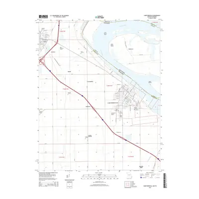 2015 Caruthersville2015 Print · USGSThe Missouri Bootheel meets the Tennessee border at the Mississippi River in the mid-2010s. Local researchers can trace family plots at Woodlawn Cemetery and Patterson Cemetery or locate the distinctive Indian Mound and Kinfolks Ridge.
Showing maps 1-25 of 44
Top cities of Lake County
Frequently asked questions
- What are the different types of historical maps available for Lake County?
- What is the oldest map of Lake County?
- Where can I purchase historical maps of Lake County for my home or office?
- Where can I download high-res historical maps of Lake County?
- Are there historical topographic maps available for Lake County?
- Is there historical aerial imagery available for Lake County?
- Where are historical maps of Lake County sourced from?