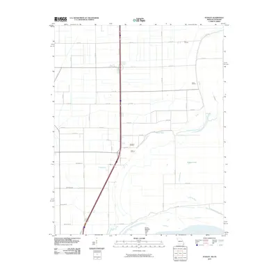
2010 Map of Stanley
USGS Topo · Published 2010About this map
The Mississippi River meanders along the southeastern corner of this Pemiscot County landscape, defining the border between Missouri and Tennessee. The low-lying terrain is a complex network of managed drainage, featuring numerous waterways such as Ditch Number 22, Ditch Number 23, and Ditch Number 25 that cross the alluvial plain. This hydrological system reflects the area's agricultural history, where reclaiming land from the bayous was essential for settlement. Local heritage is preserved in several family and community burial grounds, including Dry Bayou Cemetery, Averill Cemetery, Ross Cemetery, and Stancil Cemetery. These sites, along with landmarks like Robinson Lake and the Robinson Bayou, provide critical points of reference for genealogists tracking family roots in the Bootheel region. The map also captures the prominent Sandy Hook Bar along the riverbank, illustrating the dynamic nature of the river's shoreline.
Find a feature on this map
40 named features on this map. Tap any name to fly to it.
Don’t see what you’re looking for? This feature index may not catch every label — zoom into the map to look around manually.
Map Details
Editions of this 2010 Stanley Map
This is the sole edition of this map. No revisions or reprints were ever made.
Other maps of this area

1939 · Portageville
USGS Topo · 1:62,500

1939 · Caruthersville
USGS Topo · 1:62,500

1940 · Pascola
USGS Topo · 1:62,500

1940 · Hayti
USGS Topo · 1:62,500

1951 · Caruthersville
USGS Topo · 1:62,500

1955 · Pascola
USGS Topo · 1:62,500

1955 · Hayti
USGS Topo · 1:62,500

1955 · Portageville
USGS Topo · 1:62,500

1956 · Dyersburg
USGS Topo · 1:250,000

1957 · Caruthersville
USGS Topo · 1:62,500