Old Maps of Fall River, Tennessee for Academic Research
Study the evolution of Fall River with 10 high-resolution historic maps. Whether you're teaching, researching, or modeling changes in land use, these maps provide essential visual documentation of urban, environmental, and geographic change.
- Analyze long-term change: Track patterns in development, transportation, and natural features.
- Ideal for environmental or urban studies: Support academic projects with primary historical map data.
- Use in the classroom or lab: Educators and researchers rely on these maps to bring historical context to life.
These maps are a powerful tool for teaching, research, and visualizing how Fall River has changed over the decades.
Fall River, TN maps
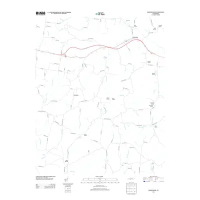
(10)- 1936 Map of Bodenham
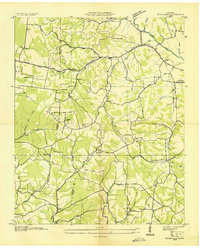 1936 Bodenham1936 Print · USGSGiles and Lawrence Counties appear here in the mid-1930s, showing a landscape of traditional hollows and early electrification. Genealogists can locate family sites like Hughes Cem, Wilburn Chapel, and the settlement of Fall River.2 unique versions available
 - 1948 Map of Bodenham, 1965 Print
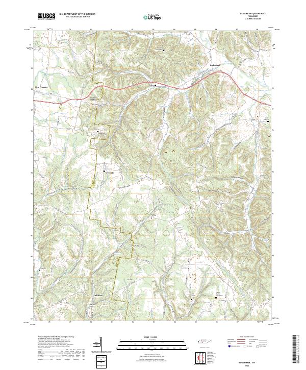
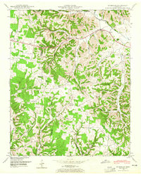 1948 Bodenham1965 Print · USGSThe Tennessee hills at the Lawrence and Giles county line are captured here in the late 1940s. Researchers can trace rural life through numerous country landmarks like Choate Creek Church, Copperas Sch, and the community at New Prospect.2 unique versions available
 - 1950 Map of Bodenham
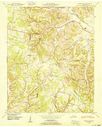 1950 Bodenham1950 Print · USGSGiles County in the years following World War II was a landscape of ridge-top farms and country schools. You can trace early property lines near New Prospect or locate family sites like Chestnut Grove Church and Copperas Sch.
 - 1956 Map of Columbia, 1960 Print
 1956 Columbia1960 Print · USGSMiddle Tennessee in the mid-fifties presents a landscape of established river towns and critical rail hubs before the arrival of the modern interstate system. Researchers can trace the routes of the Louisville and Nashville railroad or locate historic landmarks like Stones River National Military Park and the Tennessee National Wildlife Refuge.6 unique versions available
 - 1985 Map of Lawrenceburg
 1985 Lawrenceburg1985 Print · USGSMiddle Tennessee and Northern Alabama are captured in the mid-1980s, showcasing a landscape of high ridges and winding river valleys. Genealogists and historians can trace rail lines like the Seaboard System Railroad or locate community landmarks such as Saint Marys Church and Three Churches.2 unique versions available
 - 2010 Map of Bodenham, 2010 Print
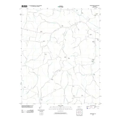 2010 Bodenham2010 Print · USGSCovers Fall River, including Bodenham, Westside, and other nearby areas
 - 2013 Map of Bodenham, 2013 Print
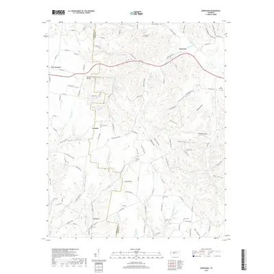
 2013 Bodenham2013 Print · USGSCovers Fall River, including Bodenham, Westside, and other nearby areas
 - 2016 Map of Bodenham, 2016 Print
 2016 Bodenham2016 Print · USGSCovers Fall River, including Bodenham, Westside, and other nearby areas
 - 2019 Map of Bodenham, 2019 Print
 2019 Bodenham2019 Print · USGSCovers Fall River, including Bodenham, Westside, and other nearby areas
 - 2022 Map of Bodenham, 2022 Print
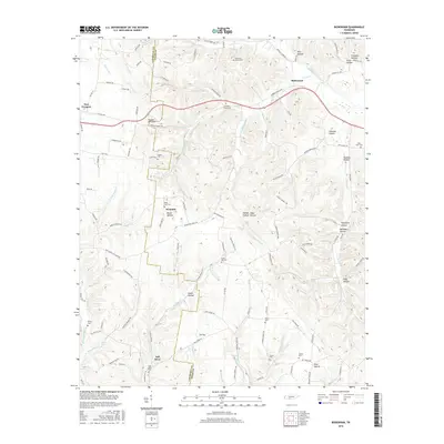
 2022 Bodenham2022 Print · USGSThe rural border of Lawrence and Giles Counties comes into focus in this contemporary survey of its hollows and homesteads. Local historians can locate ancestral sites like Hughes Cem, Shores Baptist Church, and the settlement of Fall River.
End of results
Showing maps 1-10 of 10
Top cities near Fall River
- Lawrenceburg historical maps
- Pulaski historical maps
- Loretto historical maps
- Lexington historical maps
- Ethridge historical maps
- Minor Hill historical maps
See more
Frequently asked questions
- What are the different types of historical maps available for Fall River?
- What is the oldest map of Fall River?
- Where can I purchase historical maps of Fall River for my home or office?
- Where can I download high-res historical maps of Fall River?
- Are there historical topographic maps available for Fall River?
- Is there historical aerial imagery available for Fall River?
- Where are historical maps of Fall River sourced from?