Old Maps of Macon County, Tennessee for Genealogy
Trace your family roots with 80 historic maps of Macon County. These high-res maps reveal old neighborhoods, homesites, landmarks, and streets — helping you uncover where your ancestors lived and how the area evolved over time.
- Explore historic neighborhoods: Identify where your relatives may have lived in the 1800s or 1900s.
- Compare maps over time: Trace the changes in streets, buildings, and landmarks for multi-generational research.
- Perfect for genealogy & ancestry research: Used by family historians and researchers to map out lineage and migration.
These maps are an incredible resource for exploring your personal connection to Macon County's past.
Macon County, TN maps
(80)- 1931 Map of Lafayette
 1931 Lafayette1931 Print · USGSThe Kentucky and Tennessee borderlands in the late twenties were a network of tight-knit rural communities connected by winding river hollows. Genealogists and local historians can trace family roots through numerous small landmarks like Austin Sch, Mt Zion Ch, and the settlement of Holland.2 unique versions available
 - 1931 Map of Red Boiling Springs
 1931 Red Boiling Springs1931 Print · USGSCrossing the state line during the late twenties, this survey captures a landscape of ridge-top schools and creek-side settlements. Genealogists can trace family footprints through numerous rural landmarks like Sadlers Chapel, Akersville, and Hermitage Springs PO.3 unique versions available
 - 1932 Map of Carthage
 1932 Carthage1932 Print · USGSNorth Central Tennessee comes alive in the early 1930s as the Cumberland River winds past the county seat of Carthage. Genealogists and researchers can trace family roots through numerous country schools and landmarks like Holliman Ferry and Difficult.3 unique versions available
 - 1954 Map of Fountain Run, 1955 Print
 1954 Fountain Run1955 Print · USGSSouthern Kentucky and northern Tennessee meet along the Barren River in the mid-fifties, showing a rural landscape of ridges and hollows. Genealogists can trace family roots through numerous local landmarks like Fountain Run Sch, Old Rocky Hill Ch, and Akersville.2 unique versions available
 - 1954 Map of Petroleum, 1955 Print
 1954 Petroleum1955 Print · USGSAllen County, Kentucky, supported a thriving rural oil economy in the mid-1950s centered around the namesake town of Petroleum. Researchers can locate numerous active Oil Wells and trace family heritage through sites like White Plains Sch and Mt Pleasant Ch.4 unique versions available
 - 1954 Map of Holland, 1955 Print
 1954 Holland1955 Print · USGSThe Allen Co Macon Co line and the winding Barren River define this rural landscape during the mid-fifties. Genealogists and local historians can trace family locations through numerous named sites like Mt Zion Sch, Liberty Ch, and the community of Holland.
 - 1956 Map of Corbin, 1966 Print
 1956 Corbin1966 Print · USGSThe Kentucky and Tennessee borderlands are captured here in the mid-fifties, showing the region's shift toward modern interstate travel and reservoir development. Genealogists and historians can trace old community lines near Albany and Monticello or locate early rail junctions along the Southern and Tennessee Central lines.3 unique versions available
 - 1956 Map of Nashville, 1971 Print
 1956 Nashville1971 Print · USGSThe Tennessee-Kentucky borderlands come into focus in the mid-1960s as major reservoir projects transformed the Cumberland and Tennessee river valleys. Researchers can trace the rail networks of the Louisville and Nashville and visit sites like Fort Campbell and Fort Donelson National Military Park.2 unique versions available
 - 1958 Map of Corbin
 1958 Corbin1958 Print · USGSThe Upper Cumberland borderlands appear in the late 1950s as massive reservoirs and early atomic-era growth reshape the region. Trace family roots and vanished landmarks near Lake Cumberland, Oak Ridge, and the Cumberland National Forest.
 - 1958 Map of Westmoreland, 1959 Print
 1958 Westmoreland1959 Print · USGSUpper Middle Tennessee in the late fifties was a landscape of ridge-top farms and valley rail hubs. You can trace the Louisville and Nashville line through Westmoreland or locate old community sites like Leaths Chapel Sch and Rocky Mound.2 unique versions available
 - 1958 Map of Lafayette, 1959 Print
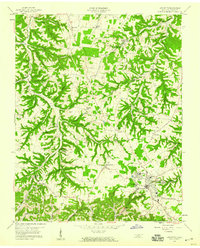 1958 Lafayette1959 Print · USGSMacon County in the late fifties was a landscape of deep hollows and family homesteads centered on the growing hub of Lafayette. Genealogists and researchers can locate old landmarks like New Bethel Ch, the Orphanage, and the Drive-in Theater.3 unique versions available
 - 1958 Map of Hartsville, 1960 Print
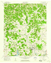 1958 Hartsville1960 Print · USGSMid-century Trousdale County comes to life as the Cumberland River valley adjusts to the new waters of Old Hickory Lake. Researchers can trace old family roots at Wolf Hill Cem, follow the Louisville and Nashville Railroad, or locate rural landmarks like Leaths Chapel.3 unique versions available
 - 1959 Map of Nashville
 1959 Nashville1959 Print · USGSMiddle Tennessee and Southern Kentucky come into focus during the late fifties, showing the region's transition into a modern transportation and military hub. Researchers can trace the sprawling Fort Campbell Military Reservation or locate historic rail stops along the Tennessee Central Ry and Illinois Central RR.
 - 1959 Map of Hillsdale, 1960 Print
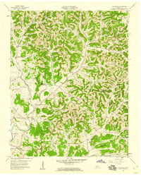 1959 Hillsdale1960 Print · USGSMacon and Trousdale counties come into focus during the late fifties, showcasing a rural Tennessee landscape defined by narrow hollows and ridge-top roads. Genealogists can trace family names through dozens of landmarks like Wilburn Cem, Stafford Cem, and the community of New Harmony.2 unique versions available
 - 1965 Map of Holland, 1967 Print
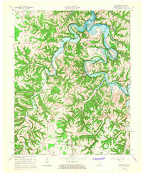 1965 Holland1967 Print · USGSThe Barren River valley in the mid-1960s shows a landscape in transition as the new reservoir fills the winding river bends. Researchers can trace family roots through several rural churches and schools, such as Liberty Church, Highland Church, and the Mt Zion School.
 - 1968 Map of Willette, 1970 Print
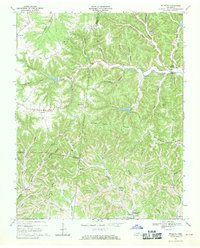 1968 Willette1970 Print · USGSThe hills of Jackson and Macon counties are shown here in the late sixties just before the landscape was changed by the Cordell Hull Reservoir. Genealogists can trace family sites like Thomas Cem, Hayden, and the Wartrace Sch among the winding hollows.
 - 1968 Map of Pleasant Shade, 1970 Print
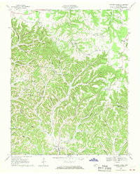 1968 Pleasant Shade1970 Print · USGSUpper Middle Tennessee in the late sixties reveals a landscape of family-run farms and ridge-top communities at the junction of Macon and Smith counties. Genealogists can trace family names through landmarks like Butler Cem, Ebenezer Ch, and the small settlement of Pleasant Shade.2 unique versions available
 - 1968 Map of Red Boiling Springs, 1971 Print
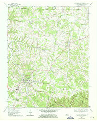 1968 Red Boiling Springs1971 Print · USGSThe Tennessee and Kentucky borderlands near Red Boiling Springs are captured here in the late sixties, showing a landscape defined by deep hollows and creek-side settlements. Genealogists can locate family landmarks such as Sadlers Chapel, Leonard Cem, and the community of Hermitage Springs.
 - 1969 Map of Galen, 1971 Print
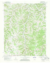 1969 Galen1971 Print · USGSThe Tennessee-Kentucky borderlands in the late sixties featured a dense network of hollows and family-named landmarks. Trace the history of rural communities like Sycamore Valley or Bugtussle and locate old sites like Morgan Cem and Enon Sch.2 unique versions available
 - 1982 Map of Cookeville, 1983 Print
 1982 Cookeville1983 Print · USGSThe Upper Cumberland region comes into focus during the early eighties as Cookeville and its surrounding counties adapt to new reservoirs and highways. Researchers can trace the Louisville and Nashville rail line and locate landmarks like Tennessee Technological University and Standing Stone State Forest.
 - 1984 Map of Nashville, 1985 Print
 1984 Nashville1985 Print · USGSMiddle Tennessee in the mid-1980s reveals a region balancing urban expansion with its deep river-valley roots. Genealogists and historians can trace family locations near Old Hickory Lake, explore the grounds of Vanderbilt University, or locate ancestral sites like Greenwood Cem.
 - 1985 Map of Bowling Green
 1985 Bowling Green1985 Print · USGSThe rolling borderlands of Kentucky and Tennessee are captured here in the mid-eighties, showing a landscape shaped by the Barren River and deep-rooted rail networks. Genealogists and researchers can trace local landmarks like Prices Mill, Highland Academy, and Green Lawn Cem.3 unique versions available
 - 1985 Map of Tompkinsville, 1986 Print
 1985 Tompkinsville1986 Print · USGSThe Kentucky-Tennessee borderlands come into focus in the mid-1980s, showcasing a landscape of river-fed valleys and rural crossroads. Genealogists and local historians can trace family locations from Glasgow and Edmonton to the distinctively named Eighty Eight, Bugtussle, and Akersville.2 unique versions available
 - 1994 Map of Hillsdale, 1997 Print
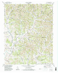 1994 Hillsdale1997 Print · USGSThe rural borders of Macon and Trousdale counties come into focus in the mid-1990s, revealing a landscape of family-named hollows and ridge-top settlements. Genealogists and local researchers can trace historic community hubs like Hillsdale, Horsleys, and Beech Hill alongside numerous unnamed cemeteries and local landmarks.
 - 1994 Map of Hartsville, 1997 Print
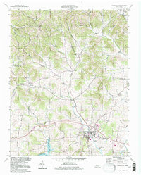 1994 Hartsville1997 Print · USGSHartsville and the surrounding Trousdale County countryside are shown here in the mid-nineties, just north of the Cumberland River. Researchers can trace rural lineages through landmarks like Leaths Chapel, Willow Grove Cem, and the old Ward High Sch.
Showing maps 1-25 of 80
Top cities of Macon County
Frequently asked questions
- What are the different types of historical maps available for Macon County?
- What is the oldest map of Macon County?
- Where can I purchase historical maps of Macon County for my home or office?
- Where can I download high-res historical maps of Macon County?
- Are there historical topographic maps available for Macon County?
- Is there historical aerial imagery available for Macon County?
- Where are historical maps of Macon County sourced from?