2000s (21st Century) Maps of Marshall County, Tennessee
Explore 65 historic maps of Marshall County from the 2000s (21st Century). These maps offer a rare glimpse into what life looked like during the 2000s — showing old roads, neighborhoods, homes, and landmarks that have changed or disappeared over time.
Whether you're researching your family's past, planning a metal detecting trip, or studying how Marshall County's landscape evolved across the 2000s, these high-resolution maps are a powerful tool for exploring the history of this region.
- Focus on a specific era: All maps on this page are from the 2000s, giving you a focused view of this time period.
- See what’s changed: Compare century-old streets, trails, and buildings to today's modern landscape using overlays and satellite layers.
- Research with precision: Use these maps for genealogy, historical research, land use analysis, or educational projects.
- View, download, or print: Maps are fully viewable online in high resolution, and can be downloaded or printed for your own records.
Start exploring Marshall County's history through authentic maps from the 2000s. This is your window into the past.
Marshall County, TN maps
(65)- 2010 Map of Farmington, 2010 Print
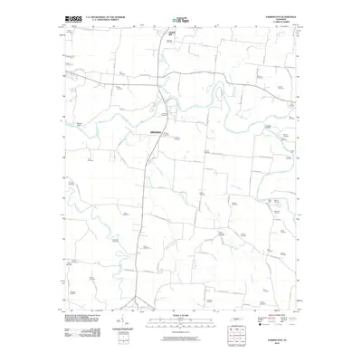 2010 Farmington2010 Print · USGSChapel Hill and the surrounding Marshall County farmland are captured here in the early twenty-first century as the area maintained its deep-rooted rural character. Genealogists can trace family lines through dozens of named sites like Wilhoite Cemetery or locate historic river crossings at Shearin Ford and Tucker Ford.
 - 2010 Map of Belfast, 2010 Print
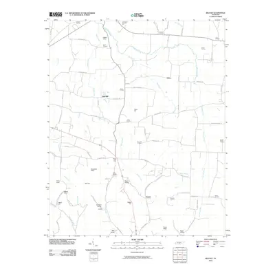 2010 Belfast2010 Print · USGSBelfast and rural Marshall County are documented here in the early twenty-first century, showing a landscape defined by hollows and family-named landmarks. Genealogists can trace numerous local burial sites including Head Springs Cemetery, Erwin Cemetery, and Round Hill Cemetery.
 - 2010 Map of Belleville, 2010 Print
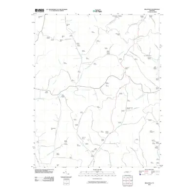 2010 Belleville2010 Print · USGSLincoln County in the early twenty-first century remains a landscape of family-named ridges and hollows. Genealogists can trace deep local roots through over a dozen mapped burial sites, including McAdam Cemetery, Nichols Cemetery, and Warren Cemetery.
 - 2010 Map of Rally Hill, 2010 Print
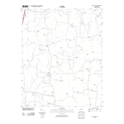 2010 Rally Hill2010 Print · USGSMiddle Tennessee’s rural character is preserved in this early 21st-century survey of the hills and hollows surrounding the Duck River. Genealogists can trace family heritage through dozens of documented burial sites, from Hurts Cross Roads to Shires Cemetery and the Riley-Harper Cemetery.
 - 2010 Map of Petersburg, 2010 Print
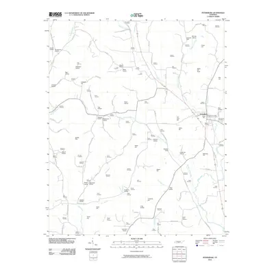 2010 Petersburg2010 Print · USGSPetersburg and its surrounding Tennessee valleys are captured here in the early twenty-first century. Genealogists and local historians can trace family land across dozens of sites like the Larwood Cemetery, Pleasant Valley, and Whorley Leonard Bluff.
 - 2010 Map of Lewisburg, 2010 Print
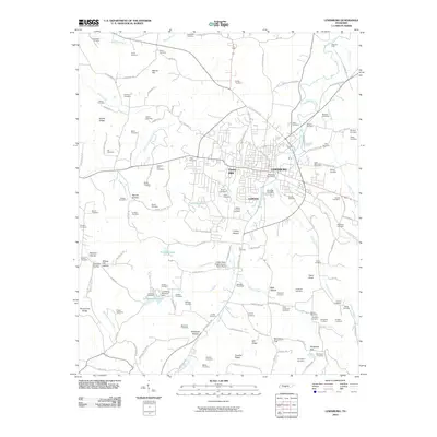 2010 Lewisburg2010 Print · USGSLewisburg and its surrounding Tennessee countryside are captured in this 2010 survey, showcasing the area's mix of town life and agricultural research. Researchers can locate dozens of family burial sites like Shiloh Cemetery and landmarks such as the United State Experimental Dairy Farm.
 - 2010 Map of Bedford, 2010 Print
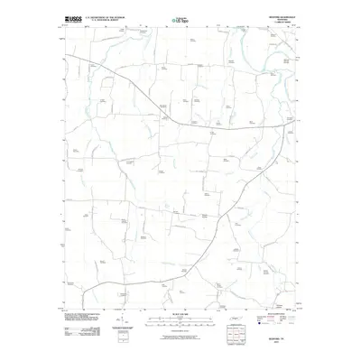 2010 Bedford2010 Print · USGSBedford County, Tennessee, at the start of the 2010s reveals a rural landscape defined by the Duck River and generations of family heritage. Genealogists can locate numerous burial sites, from Whitesell-Wilhoite Cemetery to Temple Ford and the Moore Chapel Cemetery.
 - 2010 Map of Verona, 2010 Print
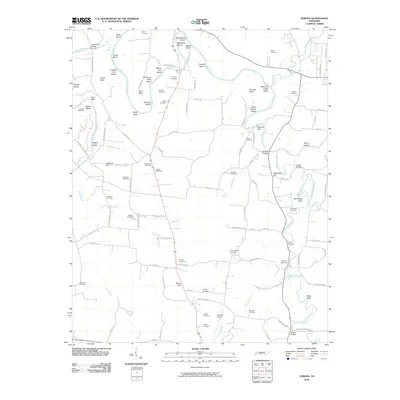 2010 Verona2010 Print · USGSMarshall County rural life and the winding Duck River are captured in this 2010 survey of the Berlin area. Researchers can trace family history through a dozen local burial grounds like Bethlehem Cemetery or locate the Milltown Dam.
 - 2010 Map of Glendale, 2010 Print
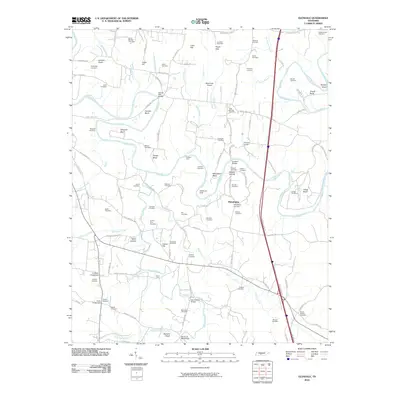 2010 Glendale2010 Print · USGSThe Duck River valley in Middle Tennessee is captured here during the first decade of the new millennium. Genealogists can trace family footprints across dozens of cemeteries and rural junctions like Harris Crossroads, Philadelphia, and the Sowell Mill Bridge.
 - 2010 Map of Chapel Hill, 2010 Print
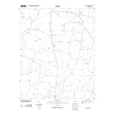 2010 Chapel Hill2010 Print · USGSThe rural border of Marshall and Rutherford Counties comes to life in this survey, showing the landscape between Eagleville and Chapel Hill. Genealogists can trace family roots through dozens of local burial sites like Marrs Hill Cemetery and the Flat Creek School district.
 - 2010 Map of Cornersville, 2010 Print
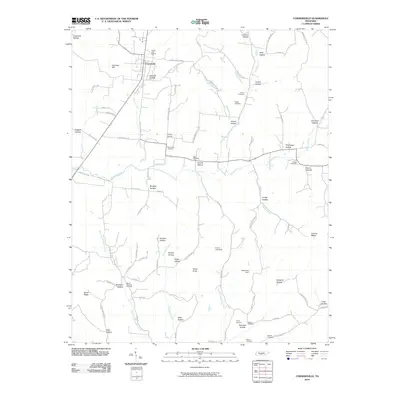 2010 Cornersville2010 Print · USGSCornersville and the surrounding Tennessee highlands are documented here during the early twenty-first century. Genealogists and local historians can trace family roots through numerous burial sites like Horton Cemetery, Beech Cliff Church, and Mount Pleasant Cemetery.
 - 2010 Map of Brick Church, 2010 Print
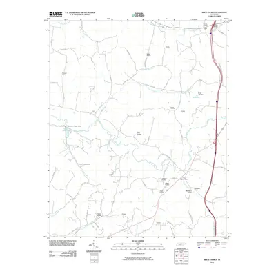 2010 Brick Church2010 Print · USGSThis Tennessee survey captures the rural landscape of Marshall County as it appeared in the early 21st century. Genealogists and local historians can trace family roots through numerous burial grounds like Brick Church Cemetery and landmarks such as Porterfield Hollow.
 - 2010 Map of Campbells Station, 2010 Print
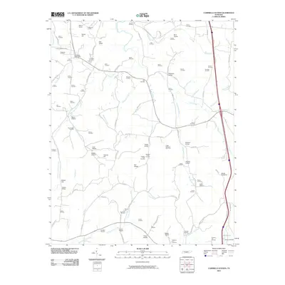 2010 Campbells Station2010 Print · USGSMarshall County's countryside comes into focus in this modern survey, showing a landscape defined by generational homesteads and intricate creek systems. Trace family roots through dozens of local burial sites like Friendship Cemetery and the Culleoka Post Office.
 - 2013 Map of Farmington, 2013 Print
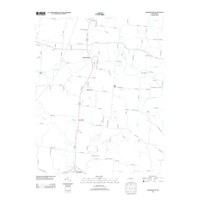 2013 Farmington2013 Print · USGSMarshall County's rural landscape is captured here in the early twenty-first century, centered on the river-bend communities and historic crossings. Genealogists can trace family names through landmarks like Wilhoite Mills, Laws Hill, and Shearin Ford along the Duck River.
 - 2013 Map of Belleville, 2013 Print
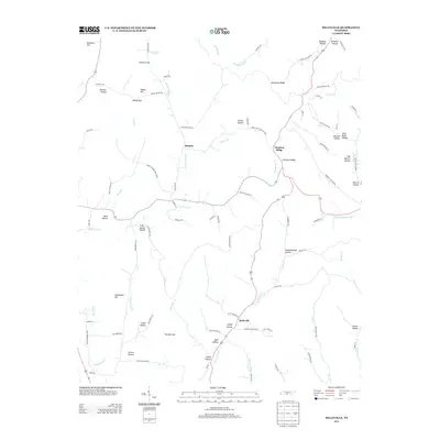 2013 Belleville2013 Print · USGSBledsoe and Belleville are captured here in the early twenty-first century, showing a landscape of named hollows and creek branches. Researchers can trace family history through landmarks like John Redd Hollow, The Narrows, and Wells Hollow.
 - 2013 Map of Cornersville, 2013 Print
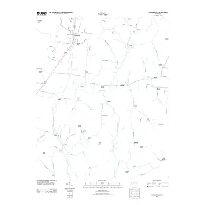 2013 Cornersville2013 Print · USGSCornersville and the surrounding Tennessee countryside are captured here in the early twenty-first century. Genealogists can trace family landmarks and rural communities like Ostella, Gnat Grove, and Ebenezer, alongside many named hollows and Richland Cr.
 - 2013 Map of Rally Hill, 2013 Print
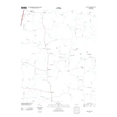 2013 Rally Hill2013 Print · USGSThe rural landscape south of Spring Hill is captured here in the early 21st century, showing a network of historic family-named roads and settlements. Researchers can trace local heritage through landmarks like Duplex Mission, the quiet community of Rally Hill, and numerous ancestral sites along Smith Cemetery Rd and Green Schoolhouse Rd.
 - 2013 Map of Lewisburg, 2013 Print
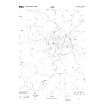 2013 Lewisburg2013 Print · USGSLewisburg and the surrounding Tennessee hills are shown in detail during the early 21st century. Researchers can locate family landmarks and historic water sources such as Old Distillery Spring, the United State Experimental Dairy Farm, and the community of Duncanville.
 - 2013 Map of Chapel Hill, 2013 Print
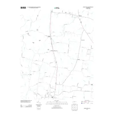 2013 Chapel Hill2013 Print · USGSThe borderlands of Marshall and Rutherford Counties come into focus in the early twenty-first century, centered on the corridor between Chapel Hill and Eagleville. Genealogists and local historians can trace rural homesteads near Riggs Crossroads, Holts Corner, and the old Flat Creek School.
 - 2013 Map of Brick Church, 2013 Print
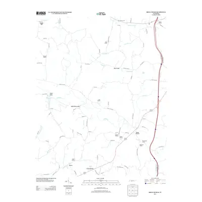 2013 Brick Church2013 Print · USGSMarshall County rural life in the early 2010s is defined by its winding hollows and historic community centers. Genealogists and local historians can trace family-named landmarks like Mars Hill, Porterfield Hollow, and the Odd Fellows Hall.
 - 2013 Map of Belfast, 2013 Print
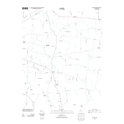 2013 Belfast2013 Print · USGSCentral Tennessee’s rural character is well-preserved in this early twenty-first-century survey of Marshall County. Genealogists and local historians can trace family-named routes and landmarks through Liberty Valley, Blackwell Crossing, and Bagley Hollow.
 - 2013 Map of Glendale, 2013 Print
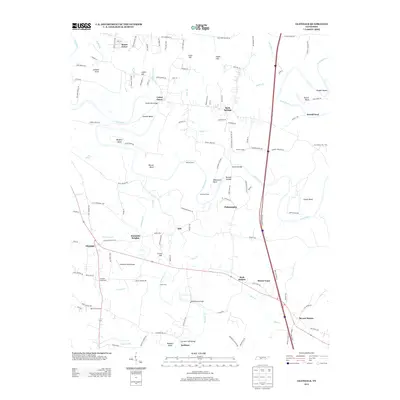 2013 Glendale2013 Print · USGSThe Duck River valley in middle Tennessee is captured here as a network of historic river bends and rural crossroads. Researchers can trace family ties and early travel through Sowell Mill Bridge, the community of Glendale, and Stillhouse Hole.
 - 2013 Map of Verona, 2013 Print
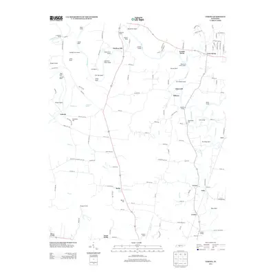 2013 Verona2013 Print · USGSIn the early twenty-first century, this Marshall County landscape remains defined by the winding Duck River and its historic milling sites. Genealogists can trace family connections through local landmarks like Hardison Mill, Berlin, and Verona.
 - 2013 Map of Campbells Station, 2013 Print
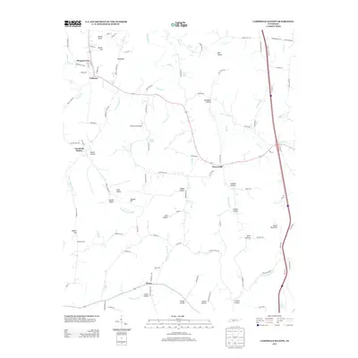 2013 Campbells Station2013 Print · USGSSouthern Tennessee rural life and transit are well-documented here in the early twenty-first century. Genealogists and historians can trace the hills and hollows surrounding Culleoka, Campbells Station, and family landmarks like James Hollow.
 - 2013 Map of Petersburg, 2013 Print
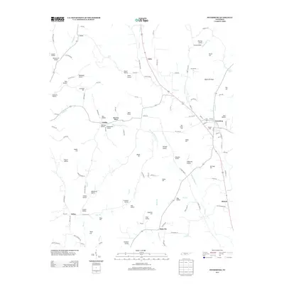 2013 Petersburg2013 Print · USGSPetersburg and its surrounding Tennessee countryside appear in this early twenty-first century survey, documenting a landscape of family-named hollows and hills. Genealogists can trace local heritage through landmarks like Browns Shop, Bryant Spring, and Wakefield Hollow.
Showing maps 1-25 of 65
Top cities of Marshall County
Frequently asked questions
- What are the different types of historical maps available for Marshall County?
- What is the oldest map of Marshall County?
- Where can I purchase historical maps of Marshall County for my home or office?
- Where can I download high-res historical maps of Marshall County?
- Are there historical topographic maps available for Marshall County?
- Is there historical aerial imagery available for Marshall County?
- Where are historical maps of Marshall County sourced from?