Old Maps of Finger, Tennessee for Hiking & Exploration
Hike through history with 16 historic maps of Finger. Explore old trails, ghost towns, and forgotten backroads — perfect for outdoor adventurers and local explorers.
- Rediscover forgotten places: Map out old mining camps, roads, and footpaths that no longer exist on modern maps.
- Layer with modern tools: Combine with LiDAR or satellite views to plan hikes through historical terrain.
- Made for exploration: Popular among hikers, overlanders, and local history lovers.
Use these maps to find adventure and explore the hidden past of Finger.
Finger, TN maps
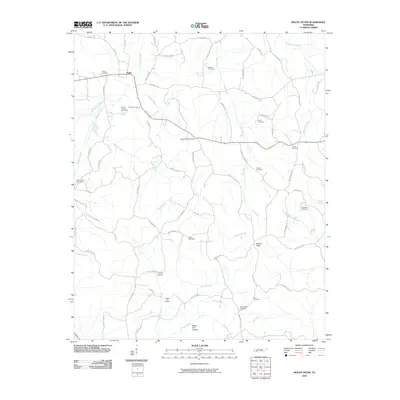
(16)- 1936 Map of Mt. Peter
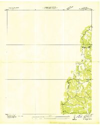 1936 Mt. Peter1936 Print · USGSMcNairy County was undergoing significant modernization in the mid-1930s as federal power projects reached rural Tennessee. Genealogists can trace family footprints near Beauty Hill Ch, Mackey Sch, and the local Cem at Mt Peter.
 - 1949 Map of Mt. Peter, 1952 Print
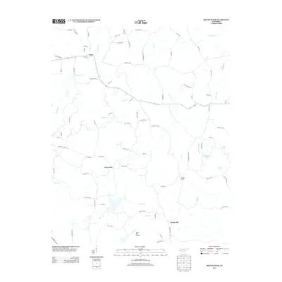
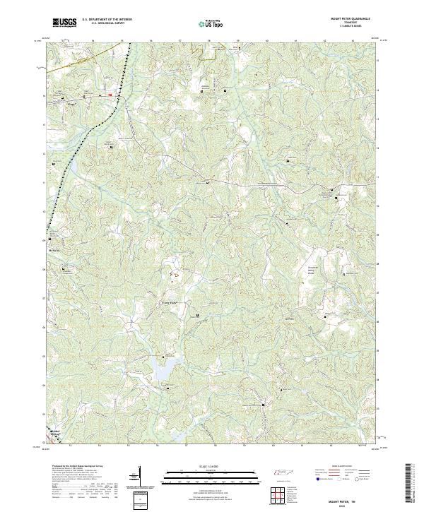
 1949 Mt. Peter1952 Print · USGSMcNairy and Chester Counties are captured here in the late 1940s, showing a rural landscape defined by the Tennessee Valley Divide. Researchers can trace old rail life in Finger or locate family sites like Mackey Sch and Mt Zion Ch.2 unique versions available
 - 1956 Map of Blytheville, 1964 Print
 1956 Blytheville1964 Print · USGSWest Tennessee and the Arkansas Delta come alive in this mid-century survey of the river-and-rail corridor connecting Memphis to Jackson. Genealogists and historians can trace the rail lines of the Louisville and Nashville RR and locate landmarks like Western State Hospital or Fort Pillow State Prison Farm.2 unique versions available
 - 1959 Map of Blytheville
 1959 Blytheville1959 Print · USGSWest Tennessee and Northeast Arkansas meet along the river in the late fifties, during a period of steady industrial and agricultural growth. Genealogists can trace the rail corridors of the Illinois Central through Jackson or explore landmarks like Shiloh National Military Park and Fort Pillow State Prison.
 - 1961 Map of Masseyville, 1964 Print
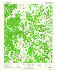 1961 Masseyville1964 Print · USGSThe rural borderlands of Chester and McNairy Counties are captured here in the early 1960s, showing a landscape of timbered hills and creek bottoms. Genealogists can trace family landmarks across Hickory Corners, find Warble Cem, or locate the Old Friendship Sch near the Hatchie River.
 - 1986 Map of Selmer
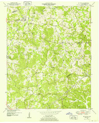
 1986 Selmer1986 Print · USGSThe Tennessee River valley and the West Tennessee highlands come into focus in the mid-eighties, showing the region's unique intersection of Civil War history and modern infrastructure. Genealogists and researchers can trace family landmarks like Gillisses Mills, the campus of Freed-Hardeman College, and the hallowed grounds of Shiloh National Military Park.3 unique versions available
 - 2010 Map of Masseyville, 2010 Print
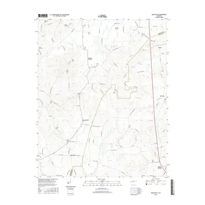
 2010 Masseyville2010 Print · USGSCovers Finger, including Bethel Springs, McNairy, and other nearby areas
 - 2010 Map of Mount Peter, 2010 Print
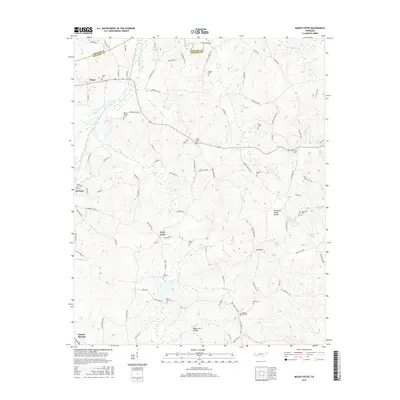
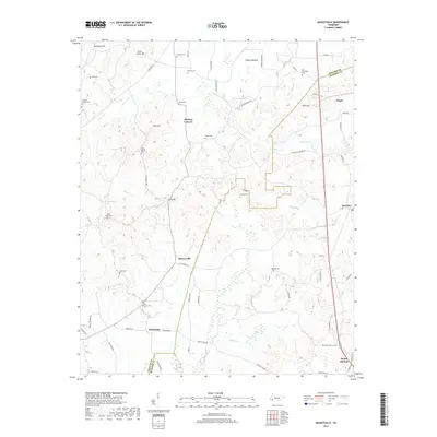
 2010 Mount Peter2010 Print · USGSCovers Finger, including Bethel Springs, Forty Forks, and other nearby areas
 - 2013 Map of Masseyville, 2013 Print
 2013 Masseyville2013 Print · USGSCovers Finger, including Bethel Springs, McNairy, and other nearby areas
 - 2013 Map of Mount Peter, 2013 Print
 2013 Mount Peter2013 Print · USGSCovers Finger, including Bethel Springs, Forty Forks, and other nearby areas
 - 2016 Map of Mount Peter, 2016 Print
 2016 Mount Peter2016 Print · USGSCovers Finger, including Bethel Springs, Forty Forks, and other nearby areas
 - 2016 Map of Masseyville, 2016 Print
 2016 Masseyville2016 Print · USGSCovers Finger, including Bethel Springs, McNairy, and other nearby areas
 - 2019 Map of Mount Peter, 2019 Print
 2019 Mount Peter2019 Print · USGSCovers Finger, including Bethel Springs, Forty Forks, and other nearby areas
 - 2019 Map of Masseyville, 2019 Print
 2019 Masseyville2019 Print · USGSCovers Finger, including Bethel Springs, McNairy, and other nearby areas
 - 2022 Map of Mount Peter, 2022 Print
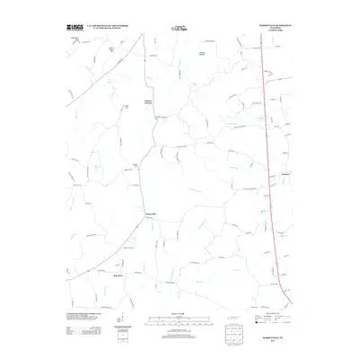
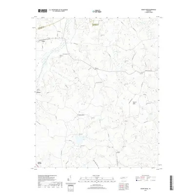
 2022 Mount Peter2022 Print · USGSMcNairy and Chester counties are documented here in the early 2020s, showing a landscape defined by the Tennessee Valley Divide. Genealogists can trace numerous family burial grounds including the Anderson Slave Cem, Malone Cem, and White Plains Cem.
 - 2022 Map of Masseyville, 2022 Print
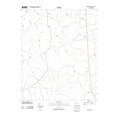
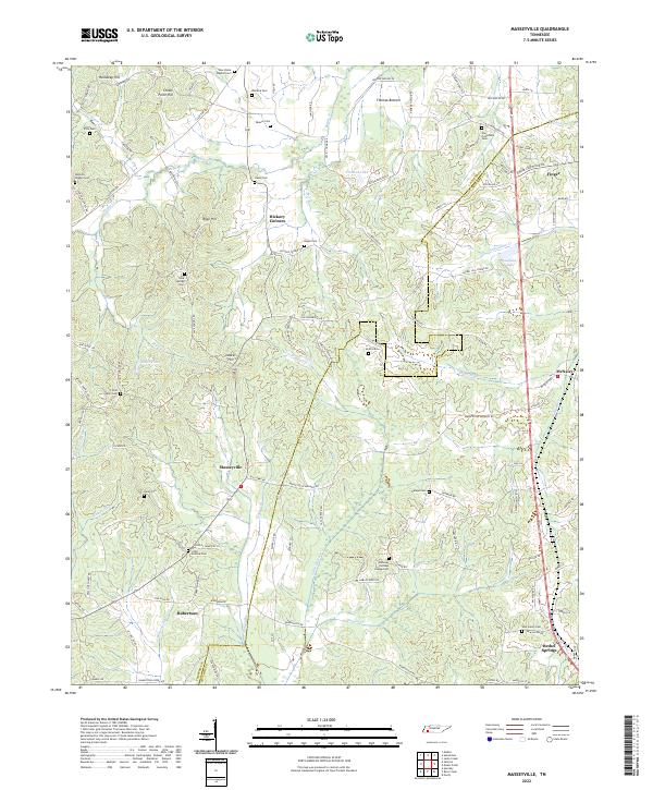 2022 Masseyville2022 Print · USGSThe rural borders of Chester and McNairy counties are mapped here in the early twenty-first century, showing a landscape of small family settlements and winding creek bottoms. Genealogists can locate numerous burial sites including Old Friendship Cem, Hurst Cem, and Cason Cem.
End of results
Showing maps 1-16 of 16
Top cities near Finger
- Jackson historical maps
- Henderson historical maps
- Selmer historical maps
- Adamsville historical maps
- Bethel Springs historical maps
- Eastview historical maps
See more
Frequently asked questions
- What are the different types of historical maps available for Finger?
- What is the oldest map of Finger?
- Where can I purchase historical maps of Finger for my home or office?
- Where can I download high-res historical maps of Finger?
- Are there historical topographic maps available for Finger?
- Is there historical aerial imagery available for Finger?
- Where are historical maps of Finger sourced from?