2000s (21st Century) Maps of Madisonville, Tennessee
Explore 22 historic maps of Madisonville from the 2000s (21st Century). These maps offer a rare glimpse into what life looked like during the 2000s — showing old roads, neighborhoods, homes, and landmarks that have changed or disappeared over time.
Whether you're researching your family's past, planning a metal detecting trip, or studying how Madisonville's landscape evolved across the 2000s, these high-resolution maps are a powerful tool for exploring the history of this region.
- Focus on a specific era: All maps on this page are from the 2000s, giving you a focused view of this time period.
- See what’s changed: Compare century-old streets, trails, and buildings to today's modern landscape using overlays and satellite layers.
- Research with precision: Use these maps for genealogy, historical research, land use analysis, or educational projects.
- View, download, or print: Maps are fully viewable online in high resolution, and can be downloaded or printed for your own records.
Start exploring Madisonville's history through authentic maps from the 2000s. This is your window into the past.
Madisonville, TN maps
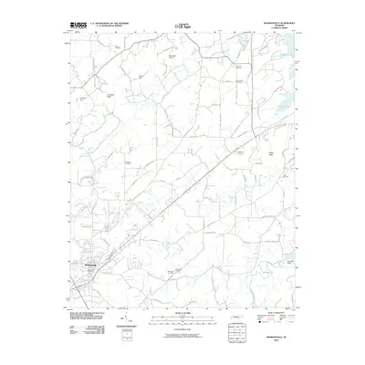
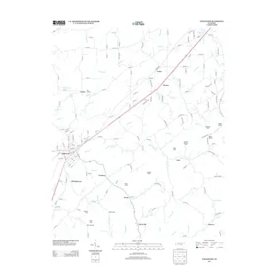
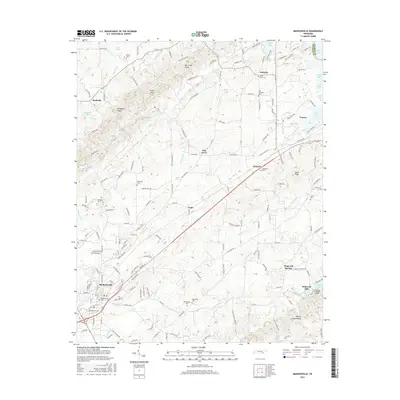
(22)- 2003 Map of Madisonville, 2004 Print
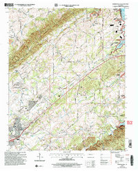 2003 Madisonville2004 Print · USGSMadisonville and the Monroe County foothills are captured in the early 2000s, reflecting a rural landscape defined by historic schools and family homesteads. Researchers can trace the grounds of Hiwassee College, locate the Old Lutheran Cem, and follow the banks of Bat Creek.
 - 2003 Map of Mount Vernon, 2004 Print
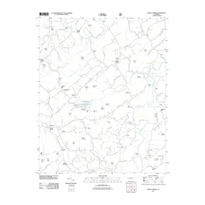
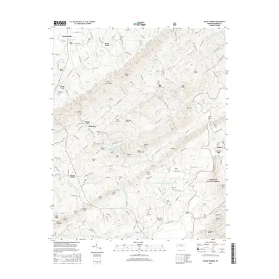
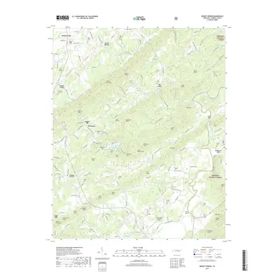
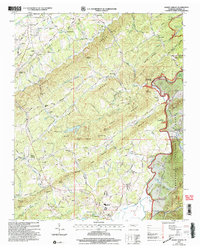 2003 Mount Vernon2004 Print · USGSMonroe County settlement at the turn of the millennium shows a landscape defined by the Tellico River and the rising ridges of the Cherokee National Forest. Genealogists and local historians can trace family roots through numerous rural landmarks like Stakely Mill, Union Hall, and Eleazar Ch.
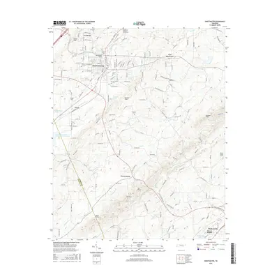
 - 2010 Map of Sweetwater, 2010 Print
 2010 Sweetwater2010 Print · USGSCovers Madisonville, including Sweetwater, Christianburg, and other nearby areas
 - 2010 Map of Englewood, 2010 Print
 2010 Englewood2010 Print · USGSCovers Madisonville, including Englewood, Liberty Hill, and other nearby areas
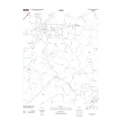
 - 2010 Map of Madisonville, 2010 Print
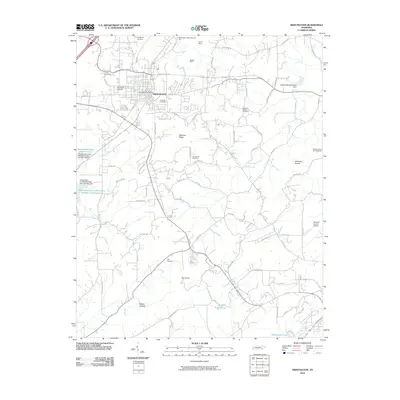
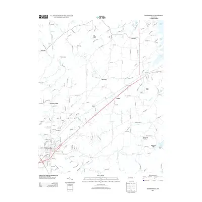
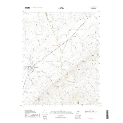
 2010 Madisonville2010 Print · USGSCovers Madisonville, including Rockville, Lakeside, and other nearby areas
 - 2011 Map of Mount Vernon, 2011 Print
 2011 Mount Vernon2011 Print · USGSCovers Madisonville, including Tellico Plains, Mount Harmony, and other nearby areas
 - 2013 Map of Madisonville, 2013 Print
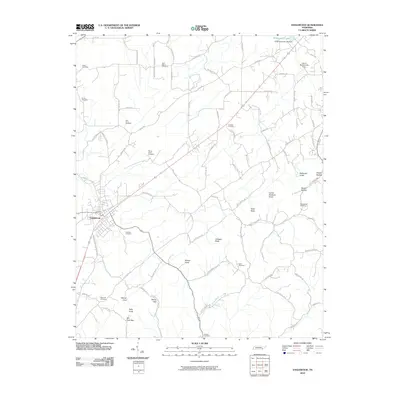
 2013 Madisonville2013 Print · USGSCovers Madisonville, including Rockville, Lakeside, and other nearby areas
 - 2013 Map of Mount Vernon, 2013 Print
 2013 Mount Vernon2013 Print · USGSCovers Madisonville, including Tellico Plains, Mount Harmony, and other nearby areas
 - 2013 Map of Englewood, 2013 Print
 2013 Englewood2013 Print · USGSCovers Madisonville, including Englewood, Liberty Hill, and other nearby areas
 - 2013 Map of Sweetwater, 2013 Print
 2013 Sweetwater2013 Print · USGSCovers Madisonville, including Sweetwater, Christianburg, and other nearby areas
 - 2016 Map of Mount Vernon, 2016 Print
 2016 Mount Vernon2016 Print · USGSCovers Madisonville, including Tellico Plains, Mount Harmony, and other nearby areas
 - 2016 Map of Sweetwater, 2016 Print
 2016 Sweetwater2016 Print · USGSCovers Madisonville, including Sweetwater, Christianburg, and other nearby areas
 - 2016 Map of Madisonville, 2016 Print
 2016 Madisonville2016 Print · USGSCovers Madisonville, including Rockville, Lakeside, and other nearby areas
 - 2016 Map of Englewood, 2016 Print
 2016 Englewood2016 Print · USGSCovers Madisonville, including Englewood, Liberty Hill, and other nearby areas
 - 2019 Map of Sweetwater, 2019 Print
 2019 Sweetwater2019 Print · USGSCovers Madisonville, including Sweetwater, Christianburg, and other nearby areas
 - 2019 Map of Mount Vernon, 2019 Print
 2019 Mount Vernon2019 Print · USGSCovers Madisonville, including Tellico Plains, Mount Harmony, and other nearby areas
 - 2019 Map of Englewood, 2019 Print
 2019 Englewood2019 Print · USGSCovers Madisonville, including Englewood, Liberty Hill, and other nearby areas
 - 2019 Map of Madisonville, 2019 Print
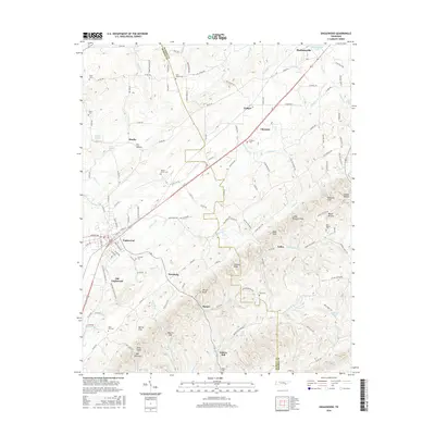
 2019 Madisonville2019 Print · USGSCovers Madisonville, including Rockville, Lakeside, and other nearby areas
 - 2022 Map of Sweetwater, 2022 Print
 2022 Sweetwater2022 Print · USGSSweetwater and the surrounding valley are shown here in their contemporary layout at the start of the 2020s. Researchers can trace family history at Heiskell Cem, locate landmarks like the Monroe County Airport, or follow the rail corridor of CSX Transportation.
 - 2022 Map of Englewood, 2022 Print
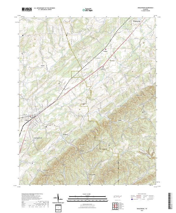 2022 Englewood2022 Print · USGSModern McMinn and Monroe Counties retain their rural character in the early twenty-first century, spanning the divide between the flatlands and the knobs. Researchers can locate numerous family burial grounds and small settlements like Old Englewood, Nonaburg, and the Chestua Campground Community Cem.
 - 2022 Map of Mount Vernon, 2022 Print
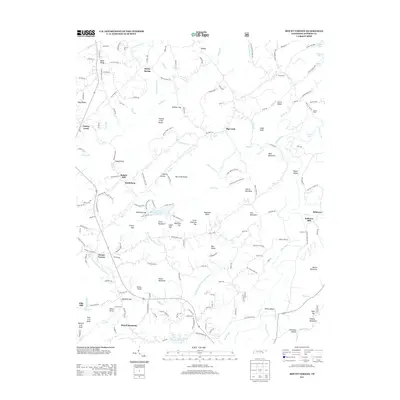
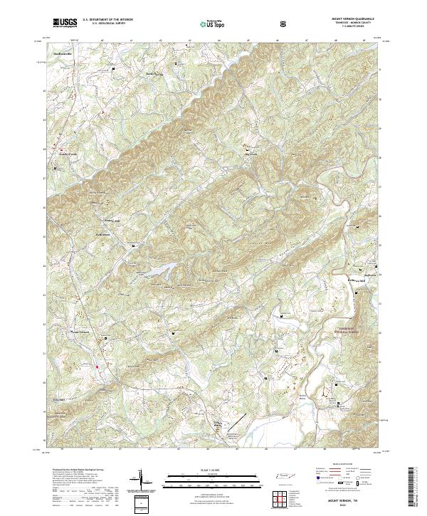 2022 Mount Vernon2022 Print · USGSMonroe County settlement patterns and mountain ridges come to life in this detailed survey of the southern Appalachian foothills. Genealogists and researchers can trace lineage through numerous rural sites like Notchy Creek Cem, Stakely Mill, and Belltown.
 - 2023 Map of Madisonville, 2023 Print
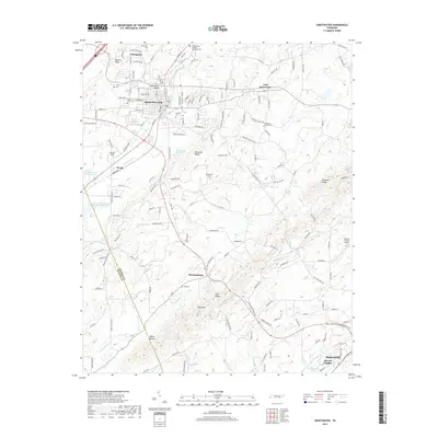
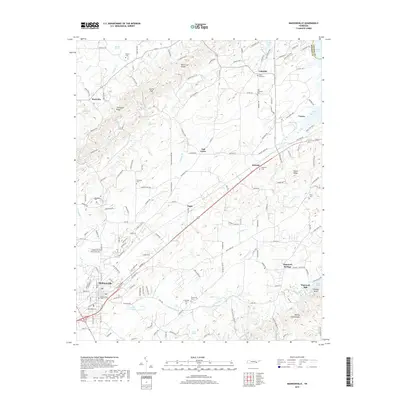
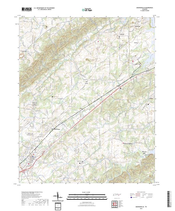 2023 Madisonville2023 Print · USGSThe Monroe County seat and the campus of Hiwassee College appear here in the early twenty-first century. Genealogists can locate family landmarks like Stephens Cem, Kimbrough Cem, and the historic Hopewell Mill on Notchy Creek.
End of results
Showing maps 1-22 of 22
Top cities near Madisonville
- Athens historical maps
- Tellico Village historical maps
- Loudon historical maps
- Sweetwater historical maps
- Etowah historical maps
- Englewood historical maps
See more
Top neighborhoods of Madisonville
Frequently asked questions
- What are the different types of historical maps available for Madisonville?
- What is the oldest map of Madisonville?
- Where can I purchase historical maps of Madisonville for my home or office?
- Where can I download high-res historical maps of Madisonville?
- Are there historical topographic maps available for Madisonville?
- Is there historical aerial imagery available for Madisonville?
- Where are historical maps of Madisonville sourced from?