2000s (21st Century) Maps of Monteagle, Tennessee
Explore 20 historic maps of Monteagle from the 2000s (21st Century). These maps offer a rare glimpse into what life looked like during the 2000s — showing old roads, neighborhoods, homes, and landmarks that have changed or disappeared over time.
Whether you're researching your family's past, planning a metal detecting trip, or studying how Monteagle's landscape evolved across the 2000s, these high-resolution maps are a powerful tool for exploring the history of this region.
- Focus on a specific era: All maps on this page are from the 2000s, giving you a focused view of this time period.
- See what’s changed: Compare century-old streets, trails, and buildings to today's modern landscape using overlays and satellite layers.
- Research with precision: Use these maps for genealogy, historical research, land use analysis, or educational projects.
- View, download, or print: Maps are fully viewable online in high resolution, and can be downloaded or printed for your own records.
Start exploring Monteagle's history through authentic maps from the 2000s. This is your window into the past.
Monteagle, TN maps
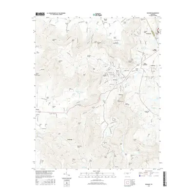
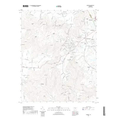
(20)- 2010 Map of Sewanee, 2010 Print
 2010 Sewanee2010 Print · USGSCovers Monteagle, including Sewanee, Cowan, and other nearby areas
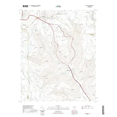
 - 2010 Map of Monteagle, 2010 Print
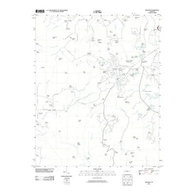
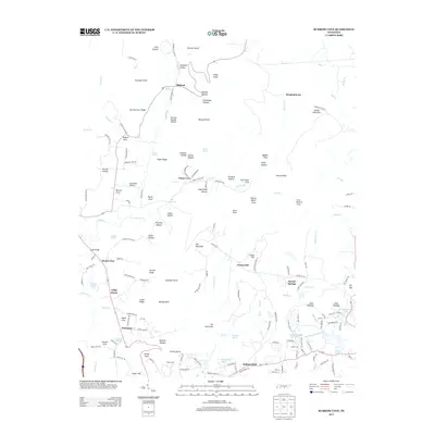
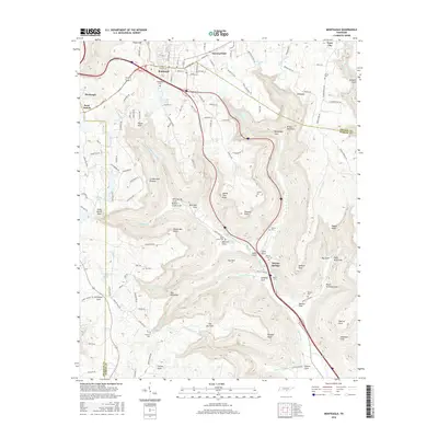
 2010 Monteagle2010 Print · USGSCovers Monteagle, including Tracy City, Clifftops, and other nearby areas
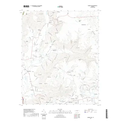
 - 2010 Map of Burrow Cove, 2010 Print
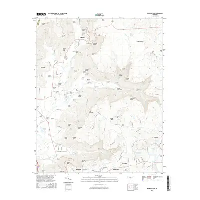
 2010 Burrow Cove2010 Print · USGSCovers Monteagle, including Tracy City, Mount View, and other nearby areas
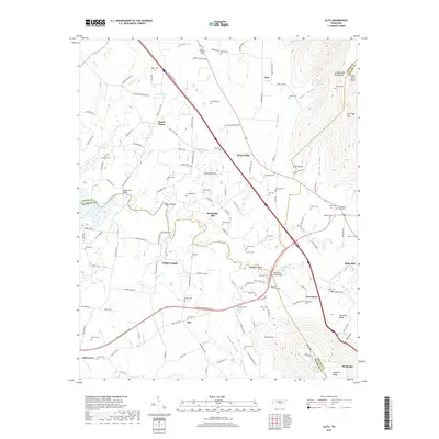
 - 2010 Map of Alto, 2010 Print
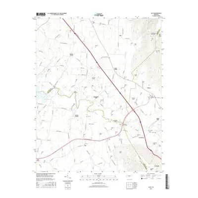
 2010 Alto2010 Print · USGSCovers Monteagle, including Providence, Bells Mill, and other nearby areas
 - 2013 Map of Burrow Cove, 2013 Print
 2013 Burrow Cove2013 Print · USGSCovers Monteagle, including Tracy City, Mount View, and other nearby areas
 - 2013 Map of Sewanee, 2013 Print
 2013 Sewanee2013 Print · USGSCovers Monteagle, including Sewanee, Cowan, and other nearby areas
 - 2013 Map of Monteagle, 2013 Print
 2013 Monteagle2013 Print · USGSCovers Monteagle, including Tracy City, Clifftops, and other nearby areas
 - 2013 Map of Alto, 2013 Print
 2013 Alto2013 Print · USGSCovers Monteagle, including Providence, Bells Mill, and other nearby areas
 - 2016 Map of Alto, 2016 Print
 2016 Alto2016 Print · USGSCovers Monteagle, including Providence, Bells Mill, and other nearby areas
 - 2016 Map of Monteagle, 2016 Print
 2016 Monteagle2016 Print · USGSCovers Monteagle, including Tracy City, Clifftops, and other nearby areas
 - 2016 Map of Burrow Cove, 2016 Print
 2016 Burrow Cove2016 Print · USGSCovers Monteagle, including Tracy City, Mount View, and other nearby areas
 - 2016 Map of Sewanee, 2016 Print
 2016 Sewanee2016 Print · USGSCovers Monteagle, including Sewanee, Cowan, and other nearby areas
 - 2019 Map of Burrow Cove, 2019 Print
 2019 Burrow Cove2019 Print · USGSCovers Monteagle, including Tracy City, Mount View, and other nearby areas
 - 2019 Map of Alto, 2019 Print
 2019 Alto2019 Print · USGSCovers Monteagle, including Providence, Bells Mill, and other nearby areas
 - 2019 Map of Sewanee, 2019 Print
 2019 Sewanee2019 Print · USGSCovers Monteagle, including Sewanee, Cowan, and other nearby areas
 - 2019 Map of Monteagle, 2019 Print
 2019 Monteagle2019 Print · USGSCovers Monteagle, including Tracy City, Clifftops, and other nearby areas
 - 2022 Map of Alto, 2022 Print
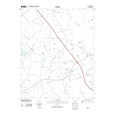
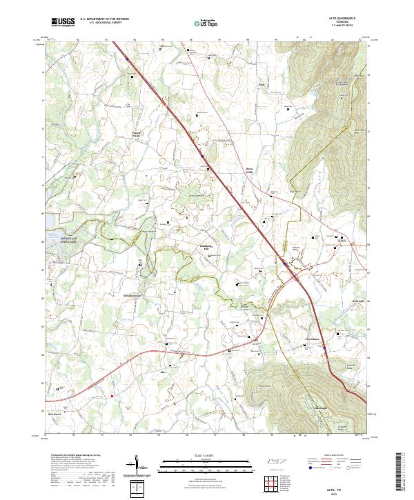 2022 Alto2022 Print · USGSThe Tennessee landscape south of the Highland Rim is captured here in the early twenty-first century, showing the rural communities of Prairie Plains and Pelham Valley. Genealogists can trace family heritage through dozens of local burial grounds like Alto Cem, Sherrill Cem, and Swann Cem.
 - 2022 Map of Burrow Cove, 2022 Print
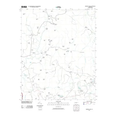
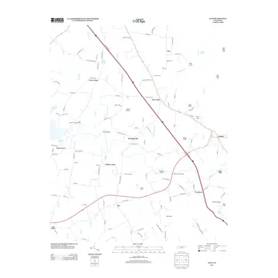
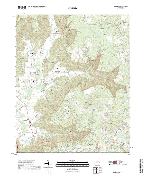 2022 Burrow Cove2022 Print · USGSThe Tennessee Cumberland Plateau at the start of the 2020s shows a landscape of deep coves and historic family settlements. Genealogists can trace rural ancestral roots through Bethel Cem, Campbell Cem, and the communities of Elkhead and Payne Cove.
 - 2022 Map of Monteagle, 2022 Print
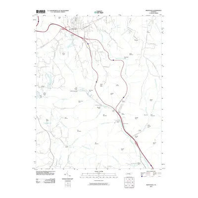
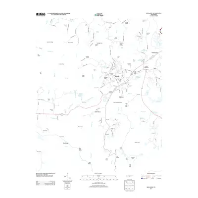
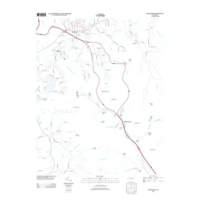
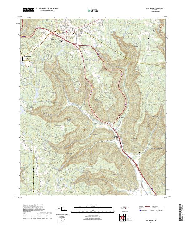 2022 Monteagle2022 Print · USGSThe heights of the Cumberland Plateau are captured here in the 2020s as transportation routes intersect at Monteagle. Researchers can trace family history through numerous rural burial sites like Lappin Cem and White Cem or locate landmarks like Sand Switch.
 - 2022 Map of Sewanee, 2022 Print
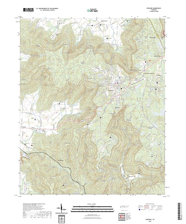 2022 Sewanee2022 Print · USGSThe Sewanee plateau and the Cumberland mountain country are mapped here in the early 2020s, showing the intersection of academic life and deep valley settlements. Researchers can locate University of the South landmarks alongside family sites like Sewell - Bowers Cem and the Natural Bridge.
End of results
Showing maps 1-20 of 20
Top cities near Monteagle
- Manchester historical maps
- Winchester historical maps
- South Pittsburg historical maps
- Jasper historical maps
- Sewanee historical maps
- Decherd historical maps
See more
Top neighborhoods of Monteagle
Frequently asked questions
- What are the different types of historical maps available for Monteagle?
- What is the oldest map of Monteagle?
- Where can I purchase historical maps of Monteagle for my home or office?
- Where can I download high-res historical maps of Monteagle?
- Are there historical topographic maps available for Monteagle?
- Is there historical aerial imagery available for Monteagle?
- Where are historical maps of Monteagle sourced from?