Old Maps of Monteagle, Tennessee for Hiking & Exploration
Hike through history with 39 historic maps of Monteagle. Explore old trails, ghost towns, and forgotten backroads — perfect for outdoor adventurers and local explorers.
- Rediscover forgotten places: Map out old mining camps, roads, and footpaths that no longer exist on modern maps.
- Layer with modern tools: Combine with LiDAR or satellite views to plan hikes through historical terrain.
- Made for exploration: Popular among hikers, overlanders, and local history lovers.
Use these maps to find adventure and explore the hidden past of Monteagle.
Monteagle, TN maps
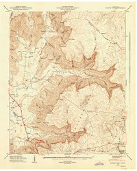
(39)- 1895 Map of Sewanee
 1895 Sewanee1895 Print · USGSThe Cumberland Plateau and Sequatchie Valley come alive in the late nineteenth century, showing a landscape shaped by coal, iron, and the rails. Genealogists and historians can trace family-named coves and industrial sites like the Cowan Tunnel, Beersheba Springs, and the Stone Quarry.6 unique versions available
 - 1936 Map of Sewanee
 1936 Sewanee1936 Print · USGSThe Cumberland Plateau and the Sewanee campus are captured here in the mid-1930s, showing a unique mountain landscape of academics and industry. Trace family roots at Cherry Cem or follow the path of the Cowan Tunnel and the Kelley Mine.
 - 1936 Map of Alto
 1936 Alto1936 Print · USGSThe Elk River valley at the Coffee and Franklin County line was a landscape of small settlements and river crossings in the mid-1930s. Genealogists can trace family roots through landmarks like Patton Sch, Bells Mill, and the Abernathy Cem.
 - 1936 Map of Burrow Cove
 1936 Burrow Cove1936 Print · USGSThe Cumberland Plateau of Tennessee is shown in the mid-1930s, featuring the deep hollows and high points of Grundy County. Researchers can trace historic landmarks like Wonder Cave, CCC Camp No 1476, and rural centers such as Piedmont and Summerfield.
 - 1936 Map of Monteagle
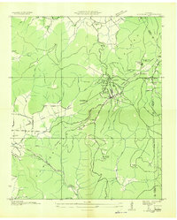
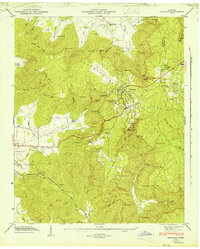
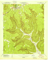
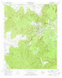
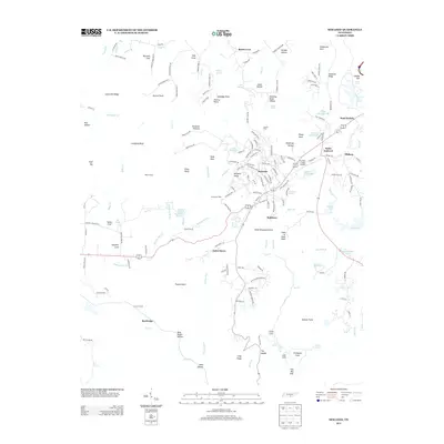
 1936 Monteagle1936 Print · USGSMonteagle and the surrounding Cumberland Plateau are captured here in the mid-1930s, showing the complex interaction between mountain travel and valley settlement. Researchers can trace historic schools and churches like Jumpoff Sch, St Johns Ch, and the high-altitude Monteagle Falls.
 - 1943 Map of Mc Minnville, 1944 Print
 1943 Mc Minnville1944 Print · USGSMid-Tennessee is captured here during the mobilization of the early 1940s, showing the vast Camp Forrest Military Reservation and thriving rail towns. Trace the N C & ST L line through Mcminnville or locate smaller rural hubs like Morrison and Hickerson Station.
 - 1946 Map of Sewanee, 1947 Print
 1946 Sewanee1947 Print · USGSSewanee and the surrounding plateau heights are captured here just after the war, showing the deep connection between the university and the mountain. Genealogists and historians can trace rail history at the Cowan Tunnel or locate family plots at Harrison Cem and St Marys Cem.4 unique versions available
 - 1947 Map of Burrow Cove, 1948 Print
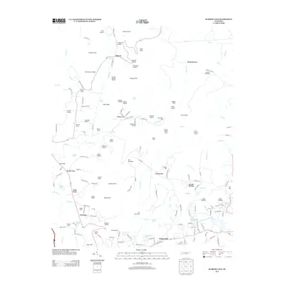
 1947 Burrow Cove1948 Print · USGSThe Grundy County uplands come alive in this post-war survey, showing the intricate relationship between the steep cove terrain and early valley settlements. Researchers can trace rural life through the many schools and cemeteries, from Wonder Cave and Payne Cove Sch to the Nashville Chattanooga and St Louis Railroad.7 unique versions available
 - 1947 Map of Alto, 1948 Print
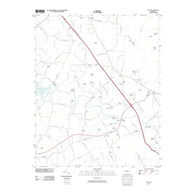
 1947 Alto1948 Print · USGSThe Elk River valley at the foot of the Cumberland Escarpment was a network of close-knit farming communities in the late 1940s. Genealogists can trace family names through dozens of sites like Mt Pleasant Cem, Thompson Hall School, and Bells Mill.8 unique versions available
 - 1950 Map of Monteagle
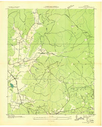
 1950 Monteagle1950 Print · USGSMonteagle and the surrounding Cumberland Plateau are shown at mid-century as a network of plateau settlements and deep cove farms. Researchers can trace family history through numerous rural landmarks like Lappin Cem, St Johns Ch, and the Jumpoff Sch.3 unique versions available
 - 1953 Map of Chattanooga
 1953 Chattanooga1953 Print · USGSSoutheast Tennessee in the early fifties shows a landscape reshaped by river management and rail power. Trace the rail lines of the Southern Ry through riverside towns or locate the preserved grounds of the Chickamauga and Chattanooga National Military Park.
 - 1957 Map of Chattanooga, 1966 Print
 1957 Chattanooga1966 Print · USGSEast Tennessee in the mid-1960s shows a landscape of massive hydroelectric reservoirs and emerging industrial sites like the Atomic Energy Commission (Oak Ridge Area). Trace the rail networks of the Southern Ry through Chattanooga or locate family-named ridges across the Cumberland Plateau.3 unique versions available
 - 1959 Map of Chattanooga
 1959 Chattanooga1959 Print · USGSSoutheast Tennessee is shown here during a decade of industrial growth and hydroelectric development. Trace the regional rail networks of the Southern Ry and find landmark sites like Lookout Mountain, Fall Creek Falls State Park, and Chattanooga.
 - 1960 Map of Chattanooga
 1960 Chattanooga1960 Print · USGSSoutheast Tennessee and the southern Appalachians are shown here at the height of the river-management era. You can trace the valley rail lines and locate Lookout Mountain and the expansive waters of Chickamauga Reservoir.
 - 1964 Map of Chattanooga
 1964 Chattanooga1964 Print · USGSSoutheast Tennessee and the western Carolinas appear in the mid-sixties as a powerhouse of river-driven industry and mountain wilderness. Genealogists and historians can trace rail-town lineages along the Southern Ry or locate family landmarks near Watts Bar Lake and Tellico Plains.
 - 1974 Map of Monteagle, 1977 Print
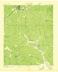
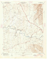
 1974 Monteagle1977 Print · USGSThe Cumberland Plateau and its deep coves are captured in the mid-seventies as industry and transport met the plateau edge. Trace family roots at Trussell Cem or Martin Cem, and locate landmarks like Saltpeter Cave and the Louisville and Nashville line.3 unique versions available
 - 1974 Map of Sewanee, 1977 Print
 1974 Sewanee1977 Print · USGSSewanee and the plateau communities of Franklin County are captured here in the mid-seventies, centered on the University of the South. Researchers can trace old family names and landmarks from Montgomery Cem to the tracks of the Louisville and Nashville Railroad.2 unique versions available
 - 1979 Map of Chattanooga, 1980 Print
 1979 Chattanooga1980 Print · USGSSoutheast Tennessee in the late seventies reveals a landscape shaped by massive TVA river projects and the industrial strength of the Cumberland Plateau. Genealogists and historians can trace the rail-to-river network through L & N RR junctions, the University of the South, and the Volunteer Army Ammunition Plant.
 - 1988 Map of Chattanooga, 1991 Print
 1988 Chattanooga1991 Print · USGSSoutheast Tennessee at the end of the 1980s reveals a complex landscape of deep river valleys and high coal-rich plateaus. Researchers can trace the legacy of the L & N RR through Tracy City or locate the sprawling Strip Mines near Whitwell.
 - 2010 Map of Sewanee, 2010 Print
 2010 Sewanee2010 Print · USGSCovers Monteagle, including Sewanee, Cowan, and other nearby areas
 - 2010 Map of Monteagle, 2010 Print
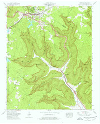
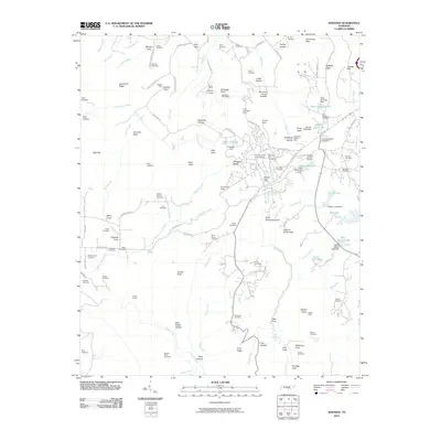
 2010 Monteagle2010 Print · USGSCovers Monteagle, including Tracy City, Clifftops, and other nearby areas
 - 2010 Map of Burrow Cove, 2010 Print
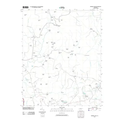 2010 Burrow Cove2010 Print · USGSCovers Monteagle, including Tracy City, Mount View, and other nearby areas
 - 2010 Map of Alto, 2010 Print
 2010 Alto2010 Print · USGSCovers Monteagle, including Providence, Bells Mill, and other nearby areas
 - 2013 Map of Burrow Cove, 2013 Print
 2013 Burrow Cove2013 Print · USGSCovers Monteagle, including Tracy City, Mount View, and other nearby areas
 - 2013 Map of Sewanee, 2013 Print
 2013 Sewanee2013 Print · USGSCovers Monteagle, including Sewanee, Cowan, and other nearby areas
Showing maps 1-25 of 39
Top cities near Monteagle
- Manchester historical maps
- Winchester historical maps
- South Pittsburg historical maps
- Jasper historical maps
- Sewanee historical maps
- Decherd historical maps
See more
Top neighborhoods of Monteagle
Frequently asked questions
- What are the different types of historical maps available for Monteagle?
- What is the oldest map of Monteagle?
- Where can I purchase historical maps of Monteagle for my home or office?
- Where can I download high-res historical maps of Monteagle?
- Are there historical topographic maps available for Monteagle?
- Is there historical aerial imagery available for Monteagle?
- Where are historical maps of Monteagle sourced from?