Old Maps of Crystal, Tennessee for Hiking & Exploration
Hike through history with 8 historic maps of Crystal. Explore old trails, ghost towns, and forgotten backroads — perfect for outdoor adventurers and local explorers.
- Rediscover forgotten places: Map out old mining camps, roads, and footpaths that no longer exist on modern maps.
- Layer with modern tools: Combine with LiDAR or satellite views to plan hikes through historical terrain.
- Made for exploration: Popular among hikers, overlanders, and local history lovers.
Use these maps to find adventure and explore the hidden past of Crystal.
Crystal, TN maps
(8)- 1956 Map of Dyersburg, 1960 Print
 1956 Dyersburg1960 Print · USGSThe Four Rivers region comes alive in the mid-fifties, capturing the intricate borderlands of Tennessee, Kentucky, and Missouri. Genealogists and historians can trace the rail-and-river networks connecting Dyersburg, Caruthersville, and the shoreline of Reelfoot Lake.4 unique versions available
 - 1966 Map of Clayton, 1968 Print
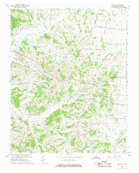 1966 Clayton1968 Print · USGSObion County's rolling landscape near the Kentucky border is captured here in the mid-1960s, showing a network of rural communities and church-centered settlements. Genealogists can trace family roots through sites like Old Republican Ch, the County Home, and the namesake village of Clayton.2 unique versions available
 - 1983 Map of Dyersburg
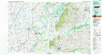 1983 Dyersburg1983 Print · USGSSpanning the Mississippi River at the start of the 1980s, this area shows the vital river-and-rail connections between Tennessee and Missouri. Researchers can trace family sites at Mount Pisgah Cemetery or study the evolving shoreline near Caruthersville and Reelfoot Lake.
 - 2010 Map of Clayton, 2010 Print
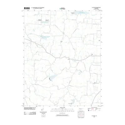 2010 Clayton2010 Print · USGSObion County's managed watersheds and rural cemeteries come into sharp focus in this early twenty-first-century survey. Genealogists and local historians can locate family landmarks like Antioch Cemetery or trace the reach of Englewood Lake and Cane Creek.
 - 2013 Map of Clayton, 2013 Print
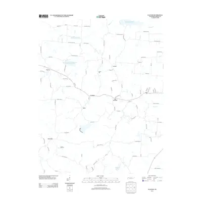 2013 Clayton2013 Print · USGSObion County at the start of the 2010s reveals a deeply rooted agricultural landscape defined by small crossroads settlements. Genealogists and local historians can trace legacy road names and family-named landmarks like Mathis Hill, Old Fremont, and Dixie.
 - 2016 Map of Clayton, 2016 Print
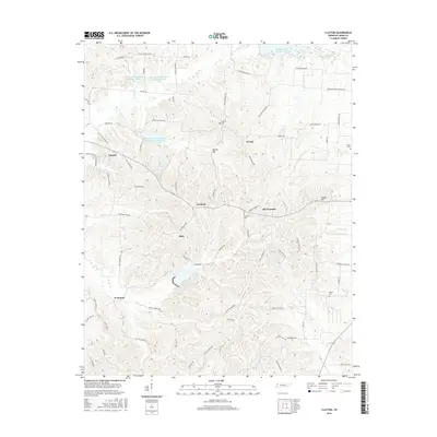 2016 Clayton2016 Print · USGSNorthwest Tennessee near the Kentucky border comes to life in this mid-2010s study of the communities around Clayton. Genealogists and local historians can trace family-named routes and landmark cemeteries like Salem Cem, Antioch Cem, and the settlement at Dixie.
 - 2019 Map of Clayton, 2019 Print
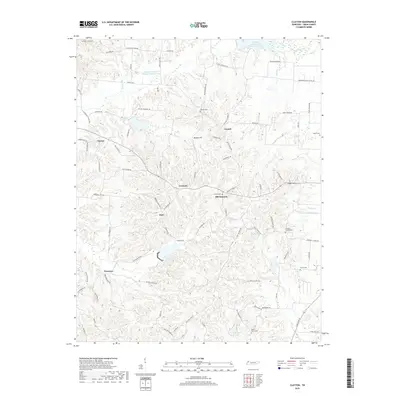 2019 Clayton2019 Print · USGSObion County's rural landscape is mapped here in the late 2010s, showing a network of small agricultural communities and creek-fed lakes. Researchers can locate family burial sites at Mount Ararat Cem and Beech Cem or trace the old roads connecting Old Fremont, Clayton, and Protemus.
 - 2022 Map of Clayton, 2022 Print
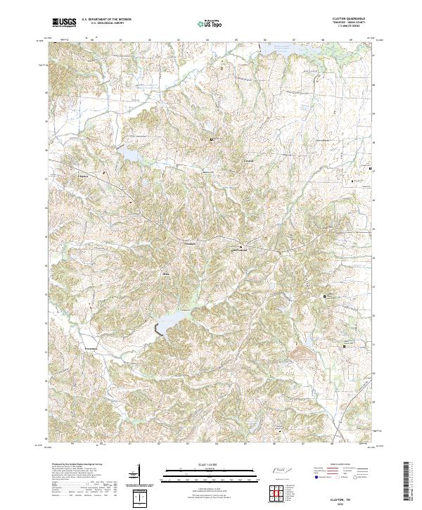 2022 Clayton2022 Print · USGSObion County's rural heartland is captured here in the early twenty-first century, showcasing a landscape of dispersed settlements and historic family lands. Researchers can trace ancestral locations near Old Fremont, Antioch Cem, and Beech Church Cem.
End of results
Showing maps 1-8 of 8
Top cities near Crystal
- Union City historical maps
- Hickman historical maps
- Clinton historical maps
- Troy historical maps
- Obion historical maps
- Hornbeak historical maps
See more
Frequently asked questions
- What are the different types of historical maps available for Crystal?
- What is the oldest map of Crystal?
- Where can I purchase historical maps of Crystal for my home or office?
- Where can I download high-res historical maps of Crystal?
- Are there historical topographic maps available for Crystal?
- Is there historical aerial imagery available for Crystal?
- Where are historical maps of Crystal sourced from?