Old Maps of Livingston, Tennessee for Academic Research
Study the evolution of Livingston with 18 high-resolution historic maps. Whether you're teaching, researching, or modeling changes in land use, these maps provide essential visual documentation of urban, environmental, and geographic change.
- Analyze long-term change: Track patterns in development, transportation, and natural features.
- Ideal for environmental or urban studies: Support academic projects with primary historical map data.
- Use in the classroom or lab: Educators and researchers rely on these maps to bring historical context to life.
These maps are a powerful tool for teaching, research, and visualizing how Livingston has changed over the decades.
Livingston, TN maps
(18)- 1897 Map of Standingstone
 1897 Standingstone1897 Print · USGSThe Upper Cumberland Plateau at the end of the 19th century shows a landscape of deep coves and rising rail towns. Trace the early tracks of the Nashville and Knoxville railroad or find family roots near Livingston, Standingstone, and the Cedar Springs church.
 - 1898 Map of Standingstone
 1898 Standingstone1898 Print · USGSThe Cumberland Plateau of Middle Tennessee comes alive in the late nineteenth century, showing the isolated settlements and early industry of the western mountains. Trace the route of the Nashville and Knoxville RR through Monterey or locate family-named coves like Johnson Cove and Deck Cove.8 unique versions available
 - 1944 Map of Livingston
 1944 Livingston1944 Print · USGSThe Tennessee-Kentucky borderlands are captured here during the mid-1940s as the river economy prepared for the rising waters of the reservoir system. Genealogists and local historians can trace legacy river crossings like Bennets Ferry and rural settlements such as Clementsville and Hestand.
 - 1955 Map of Livingston, 1956 Print
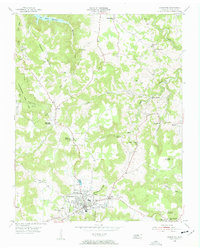 1955 Livingston1956 Print · USGSOverton County in the mid-fifties shows a rural landscape anchored by the town of Livingston and the waters of Dale Hollow Reservoir. Genealogists and historians can trace local landmarks like Garretts Mill, the Free Communion Ch, and numerous family cemeteries.5 unique versions available
 - 1955 Map of Okalona, 1956 Print
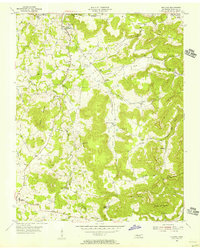 1955 Okalona1956 Print · USGSOverton County life in the mid-fifties is captured here, showing the scattered farmsteads and rural institutions of the Tennessee highlands. Genealogists can trace family names at Ruth Chapel, Pleasant Valley Sch, and the Roaring River Cem near Okalona.3 unique versions available
 - 1956 Map of Corbin, 1966 Print
 1956 Corbin1966 Print · USGSThe Kentucky and Tennessee borderlands are captured here in the mid-fifties, showing the region's shift toward modern interstate travel and reservoir development. Genealogists and historians can trace old community lines near Albany and Monticello or locate early rail junctions along the Southern and Tennessee Central lines.3 unique versions available
 - 1958 Map of Corbin
 1958 Corbin1958 Print · USGSThe Upper Cumberland borderlands appear in the late 1950s as massive reservoirs and early atomic-era growth reshape the region. Trace family roots and vanished landmarks near Lake Cumberland, Oak Ridge, and the Cumberland National Forest.
 - 1982 Map of Cookeville, 1983 Print
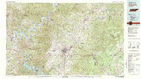 1982 Cookeville1983 Print · USGSThe Upper Cumberland region comes into focus during the early eighties as Cookeville and its surrounding counties adapt to new reservoirs and highways. Researchers can trace the Louisville and Nashville rail line and locate landmarks like Tennessee Technological University and Standing Stone State Forest.
 - 2010 Map of Livingston, 2010 Print
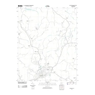 2010 Livingston2010 Print · USGSLivingston and the surrounding Overton County heights are documented here in the early twenty-first century. Genealogists and local historians can trace family burial sites like Cash Cemetery and Miller Cemetery or locate landmarks such as Schoolhouse Mountain.
 - 2010 Map of Okalona, 2010 Print
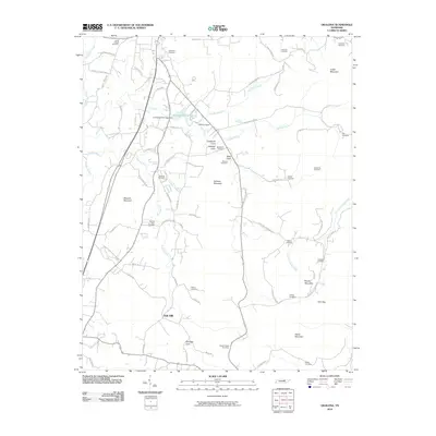 2010 Okalona2010 Print · USGSOverton County, Tennessee, is captured here in the early twenty-first century as a landscape of ridges and family-named coves. Researchers can trace ancestral lines through numerous burial sites including Bethlehem Cemetery, Okalona Cemetery, and Oakley Cemetery.
 - 2013 Map of Okalona, 2013 Print
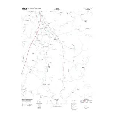 2013 Okalona2013 Print · USGSOverton County near the Highland Rim was a landscape of high ridges and deep coves in the early twenty-first century. Genealogists and local historians can trace the family-named roads and rural settlements of Okalona, Union Hill, and Oak Hill near the waters of Livingston City Lake.
 - 2013 Map of Livingston, 2013 Print
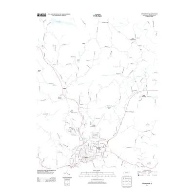 2013 Livingston2013 Print · USGSLivingston and the surrounding highlands of Overton County appear here in the early twenty-first century as a blend of rural tradition and modern growth. Genealogists and local historians can trace the roads connecting Free Communion, Allons, and Big Springs or locate historic sites like Garretts Mill.
 - 2016 Map of Okalona, 2016 Print
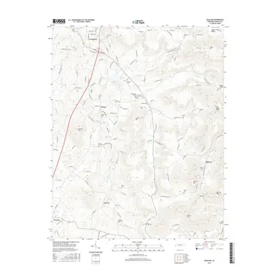 2016 Okalona2016 Print · USGSOverton County’s rural character and upland terrain are preserved here in the mid-2010s, centered on the community of Okalona. Researchers can trace family history through numerous landmarks like Harris Chapel Cem, Oak Grove Cem, and the coves surrounding Hellhole Mtn.
 - 2016 Map of Livingston, 2016 Print
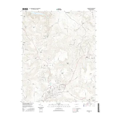 2016 Livingston2016 Print · USGSThe Overton County seat and surrounding highlands are shown here in the mid-2010s, capturing a landscape of deeply etched coves and ridges. Genealogists can locate dozens of family burial sites like Cash Cem and Stover Cem alongside landmarks such as Garretts Mill.
 - 2019 Map of Okalona, 2019 Print
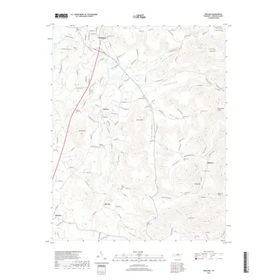 2019 Okalona2019 Print · USGSOverton County’s highland terrain is captured here in the late 2010s, showcasing the rural landscapes surrounding Livingston and Okalona. Genealogists and historians can trace numerous family burial sites, including Stephen Wells Cem, Qualls Cem, and Polk Bilbrey Cem.
 - 2019 Map of Livingston, 2019 Print
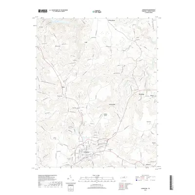 2019 Livingston2019 Print · USGSOverton County’s rugged plateau terrain is documented here in the late twenty-teens, centered on the seat of Livingston. Researchers can trace generations of local families through numerous burial sites like Sells Cemetery and Cash Cemetery or locate the historic Garretts Mill.
 - 2022 Map of Okalona, 2022 Print
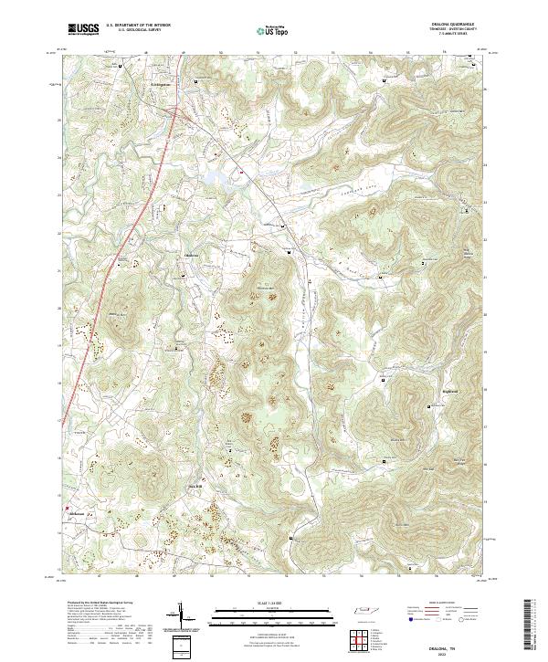 2022 Okalona2022 Print · USGSOverton County’s intricate ridges and coves are captured here in the contemporary era, showing the enduring rural layout of Livingston and Okalona. Researchers can locate numerous family burial grounds like Polk Bilbrey Cem and Ruths Chapel Cem tucked near Hellhole Mtn.
 - 2022 Map of Livingston, 2022 Print
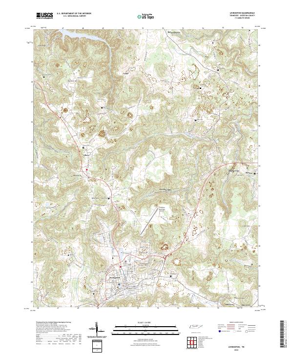 2022 Livingston2022 Print · USGSLivingston and the surrounding Overton County uplands are captured here in the twenty-first century, showing a landscape of persistent rural settlements and family landmarks. Researchers can trace ancestral roots through dozens of sites like Elm Grove Cem, Allons, and the historic Overton County Courthouse.
End of results
Showing maps 1-18 of 18
Top cities near Livingston
Frequently asked questions
- What are the different types of historical maps available for Livingston?
- What is the oldest map of Livingston?
- Where can I purchase historical maps of Livingston for my home or office?
- Where can I download high-res historical maps of Livingston?
- Are there historical topographic maps available for Livingston?
- Is there historical aerial imagery available for Livingston?
- Where are historical maps of Livingston sourced from?