2020s Maps of Polk County, Tennessee
Explore 22 historic maps of Polk County from the 2020s. These maps offer a rare glimpse into what life looked like during the 2020s — showing old roads, neighborhoods, homes, and landmarks that have changed or disappeared over time.
Whether you're researching your family's past, planning a metal detecting trip, or studying how Polk County's landscape evolved across the 2020s, these high-resolution maps are a powerful tool for exploring the history of this region.
- Focus on a specific era: All maps on this page are from the 2020s, giving you a focused view of this time period.
- See what’s changed: Compare century-old streets, trails, and buildings to today's modern landscape using overlays and satellite layers.
- Research with precision: Use these maps for genealogy, historical research, land use analysis, or educational projects.
- View, download, or print: Maps are fully viewable online in high resolution, and can be downloaded or printed for your own records.
Start exploring Polk County's history through authentic maps from the 2020s. This is your window into the past.
Polk County, TN maps
(22)- 2020 Map of Beaverdale, 2020 Print
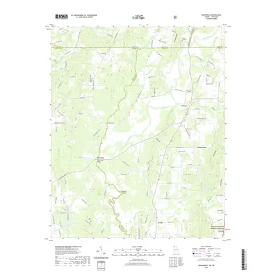 2020 Beaverdale2020 Print · USGSCrossing the Tennessee-Georgia line in the modern era, this area reveals a landscape of river-valley settlements and quiet ridge roads. Trace the community roots of Beaverdale and Crandall, or locate burial sites at Shields-Harris Cem and Ridley Cem.
 - 2020 Map of Hemp Top, 2020 Print
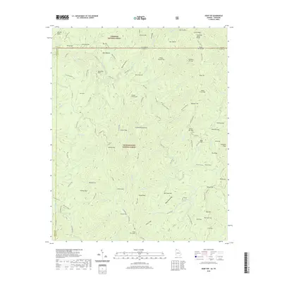 2020 Hemp Top2020 Print · USGSThe high ridges of the Georgia-Tennessee border are documented here in the early twenty-first century, showing the meeting of two National Forests. Trace the Benton MacKaye trail past Hemp Top or locate the Jones Cem near the banks of the Jacks River.
 - 2020 Map of Tennga, 2020 Print
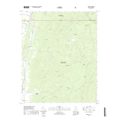 2020 Tennga2020 Print · USGSThe North Georgia mountains and Tennessee border meet in this recent survey of the backcountry around Tennga and Cisco. Researchers can trace old routes like Lost Silver Mine Road and find landmarks such as Cohutta Springs or the Alaculsy Valley.
 - 2020 Map of Epworth, 2020 Print
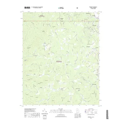 2020 Epworth2020 Print · USGSThe Georgia-Tennessee borderlands appear here in modern detail, centered on the historic river towns and mountain communities of Fannin County. Genealogists can locate family landmarks like the Patterson Family Cem or trace the legacy of local industry at Galloway Mill and Patterson Mill.
 - 2020 Map of Mineral Bluff, 2020 Print
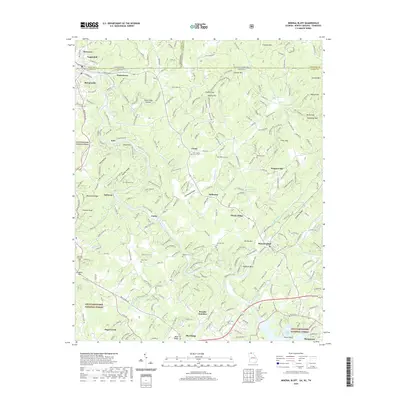 2020 Mineral Bluff2020 Print · USGSThe mountain borderlands of Georgia, Tennessee, and North Carolina are captured here in the contemporary era, centered on the Toccoa River valley. Researchers can pinpoint dozens of family burial sites like Anderson Cem and Allen Cem or locate rural communities such as Mineral Bluff and Galloway.
 - 2022 Map of Etowah, 2022 Print
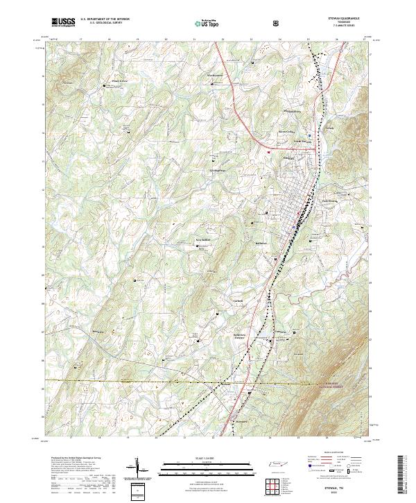 2022 Etowah2022 Print · USGSThe eastern Tennessee Valley meets the Cherokee National Forest in this detailed look at the Etowah area in 2022. Researchers can trace the legacy of local settlements through Piney Grove Church, the L and N Reservoir, and Delano.
 - 2022 Map of Calhoun, 2022 Print
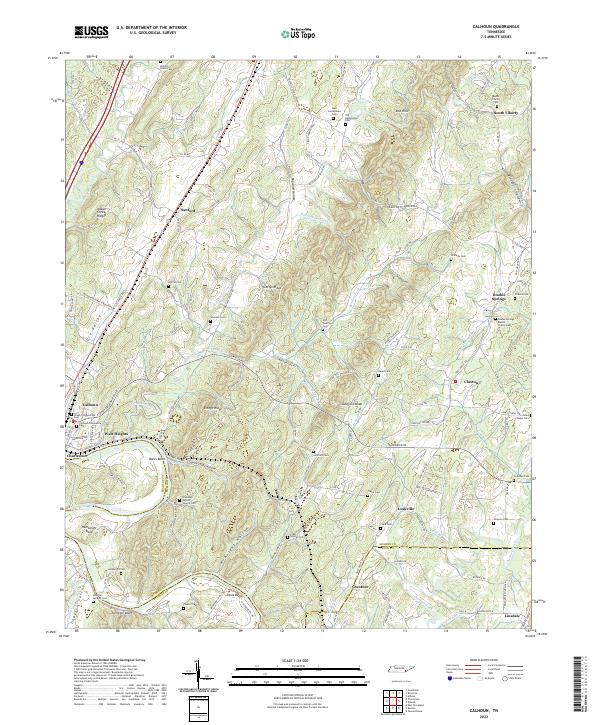 2022 Calhoun2022 Print · USGSThe riverfront settlements of Calhoun and Charleston serve as the heart of this region where the Hiwassee River divides the landscape. Researchers can trace dozens of family cemeteries and rural landmarks, including Shiloh Presbyterian Cem, Henegar Bluff, and Sanford.
 - 2022 Map of Ducktown, 2022 Print
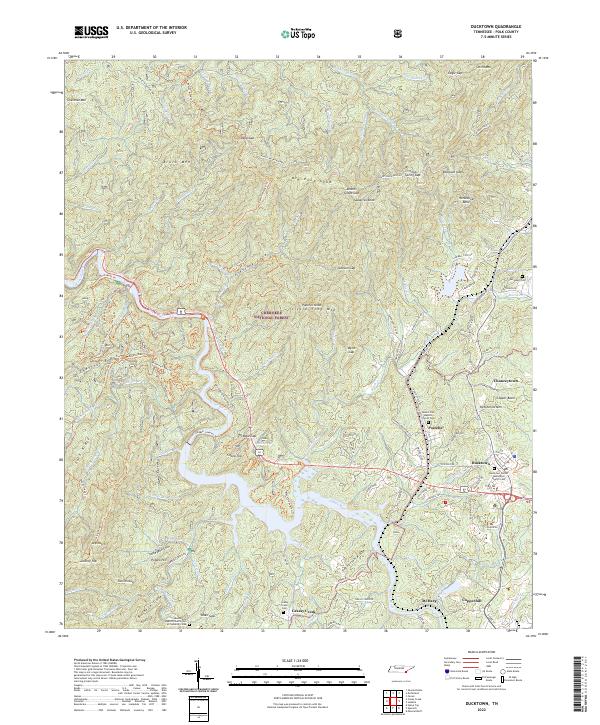 2022 Ducktown2022 Print · USGSThe industrial heart of the Copper Basin is captured here in the early twenty-first century, centered on the historic mining towns of Ducktown and Copperhill. Researchers can trace local lineage at the McJunkin Cem or follow the path of the Ocoee Flume along the river.
 - 2022 Map of Felker, 2022 Print
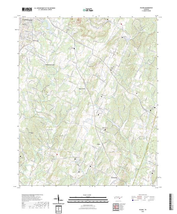 2022 Felker2022 Print · USGSSouth of CLEVELAND in the early 2020s, this area showcases the rural character of Bradley and Polk counties along the Tennessee Valley Divide. Researchers can trace local lineage through numerous sites like Samples Memorial Baptist Church Cem, Sugar Grove, and Gap Spring.
 - 2022 Map of McFarland, 2022 Print
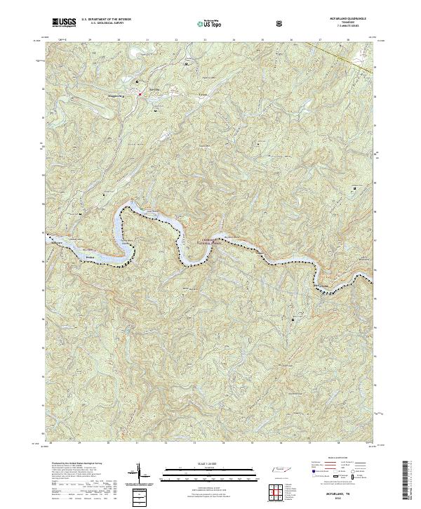 2022 McFarland2022 Print · USGSThe Hiwassee River corridor in Polk County remains a landscape of deep ridges and isolated mountain hollows. Researchers can locate numerous family burial sites like Burchfield Cem and trace historic routes including Towee Pike and Tellico Reliance Rd.
 - 2022 Map of Benton, 2022 Print
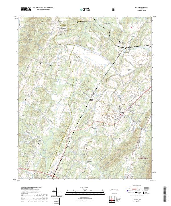 2022 Benton2022 Print · USGSBenton and the river bends of the Hiwassee and Ocoee are documented here in 2022. Local researchers can trace family landmarks like the Nancy Ward Cem, Benton Station, and the rural Chestuee Methodist Church Cem.
 - 2022 Map of Mecca, 2022 Print
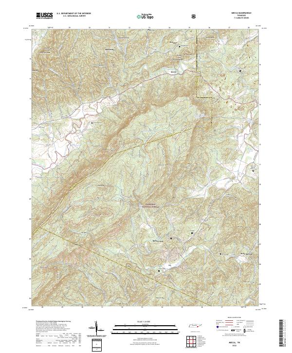 2022 Mecca2022 Print · USGSThe Tennessee hills of Monroe and McMinn counties are seen here in the early twenty-first century, showing the intersection of forest conservation and rural settlement. Genealogists can trace family footprints at Rural Vale Baptist Church Cem, Adams Cem, and the small community of Mecca.
 - 2022 Map of Farner, 2022 Print
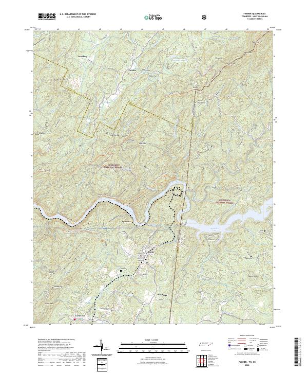 2022 Farner2022 Print · USGSThe Tennessee and North Carolina borderlands come alive in this study of the mountains surrounding Apalachia Lake. Researchers can trace family sites at New Zion Cem and Farmer Presbyterian Church or follow the old tracks through Unicoi Gap.
 - 2022 Map of Isabella, 2022 Print
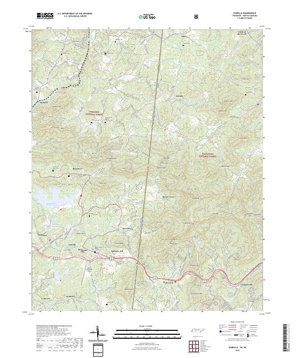 2022 Isabella2022 Print · USGSThe Tennessee and North Carolina borderlands come alive in this survey of the Copper Basin and its surrounding timberlands. Local historians can trace family roots through mountain settlements and cemeteries like Burger Town, Ducktown, and Freeland Town Cem.
 - 2022 Map of Caney Creek, 2022 Print
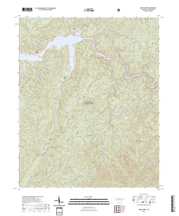 2022 Caney Creek2022 Print · USGSThe high ridges of the Cherokee National Forest meet the waters of Lake Ocoee in this recent survey of Polk County. Researchers can trace rural cemetery locations like Old Fairview Cem and Beckler Cem or follow the path of the unique Ocoee Flume.
 - 2022 Map of Oswald Dome, 2022 Print
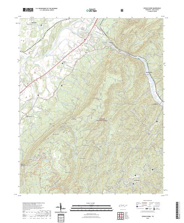 2022 Oswald Dome2022 Print · USGSThe foothills of the Cherokee National Forest come alive in this contemporary view of eastern Tennessee’s mountain communities. Genealogists can trace family roots at Antioch Baptist Church Cem, Dunn Cem, and the riverfront settlement of Reliance.
 - 2022 Map of Parksville, 2022 Print
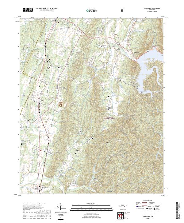 2022 Parksville2022 Print · USGSSoutheast Tennessee is shown here in the 2020s, where the waters of Lake Ocoee meet the protected timberlands of the Cherokee National Forest. Researchers can trace ancestral sites at the Ball Play Baptist Church Cem, follow the L & N RR corridor, or locate the historic Old Federal Rd.
 - 2024 Map of Epworth, 2024 Print
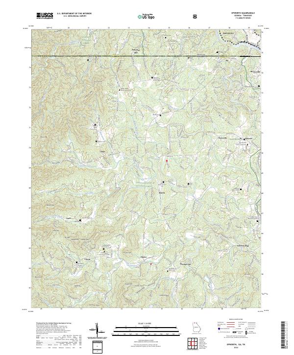 2024 Epworth2024 Print · USGSThe northern Georgia mountains meet the Tennessee border in the mid-2020s, showing the settled valleys between the national forests. Genealogists can trace family landmarks like the Patterson Family Cem, Hipps Chapel Methodist Church Cem, and the old Patterson Mill.
 - 2024 Map of Beaverdale, 2024 Print
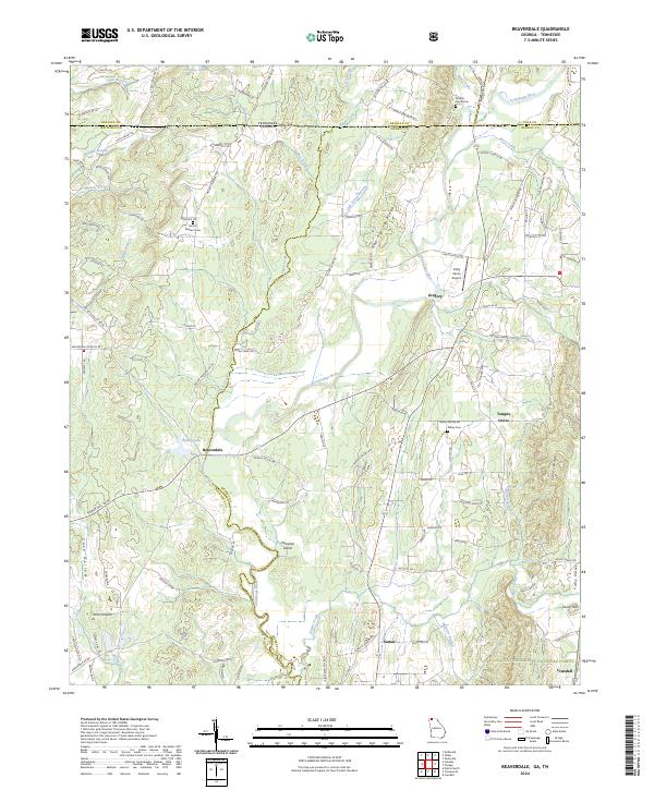 2024 Beaverdale2024 Print · USGSThe Georgia-Tennessee borderlands come into focus in this contemporary survey of the Conasauga River valley. Trace family history and local landmarks through sites like Mount Pleasant Cem, the community of Beaverdale, and the foothills of Sumac Ridge.
 - 2024 Map of Hemp Top, 2024 Print
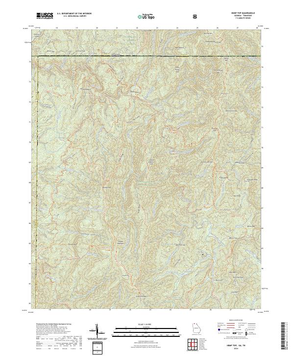 2024 Hemp Top2024 Print · USGSThe Georgia-Tennessee borderlands appear here in high detail, showing the intersection of Fannin and Polk counties along the Tennessee Valley Divide. Trace historical family sites and routes through the mountains near Jones Cem, Beech Bottom, and the Benton MacKaye Trl.
 - 2024 Map of Tennga, 2024 Print
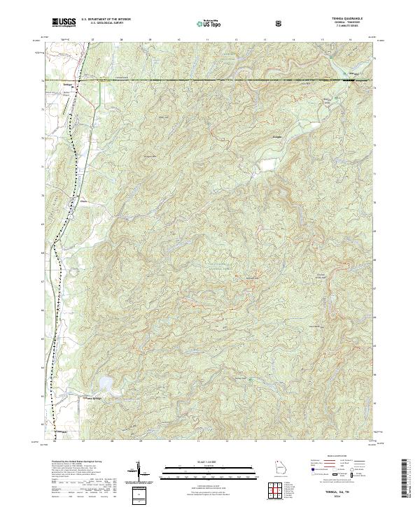 2024 Tennga2024 Print · USGSThe northern Georgia borderlands come alive in this survey of Murray County, showing the intersection of the Cohutta Wilderness and rural valley life. Genealogists and hikers can trace the geography around Cohutta Springs, Cisco, and the remote Alaculsy Valley.
 - 2024 Map of Mineral Bluff, 2024 Print
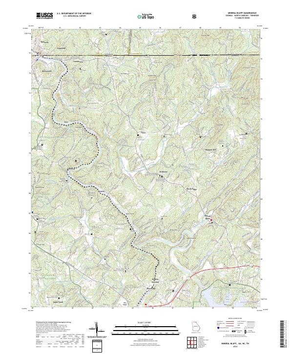 2024 Mineral Bluff2024 Print · USGSThe Tennessee-Georgia borderlands come into focus at this modern moment, where the Toccoa River and the L & N RR meet. Researchers can trace family lines through dozens of country landmarks like Union Cemetery, Bakers Ferry, and New River Baptist Church.
End of results
Showing maps 1-22 of 22
Top cities of Polk County
Frequently asked questions
- What are the different types of historical maps available for Polk County?
- What is the oldest map of Polk County?
- Where can I purchase historical maps of Polk County for my home or office?
- Where can I download high-res historical maps of Polk County?
- Are there historical topographic maps available for Polk County?
- Is there historical aerial imagery available for Polk County?
- Where are historical maps of Polk County sourced from?