2010s Maps of Polk County, Tennessee
Explore 63 historic maps of Polk County from the 2010s. These maps offer a rare glimpse into what life looked like during the 2010s — showing old roads, neighborhoods, homes, and landmarks that have changed or disappeared over time.
Whether you're researching your family's past, planning a metal detecting trip, or studying how Polk County's landscape evolved across the 2010s, these high-resolution maps are a powerful tool for exploring the history of this region.
- Focus on a specific era: All maps on this page are from the 2010s, giving you a focused view of this time period.
- See what’s changed: Compare century-old streets, trails, and buildings to today's modern landscape using overlays and satellite layers.
- Research with precision: Use these maps for genealogy, historical research, land use analysis, or educational projects.
- View, download, or print: Maps are fully viewable online in high resolution, and can be downloaded or printed for your own records.
Start exploring Polk County's history through authentic maps from the 2010s. This is your window into the past.
Polk County, TN maps
(63)- 2010 Map of Calhoun, 2010 Print
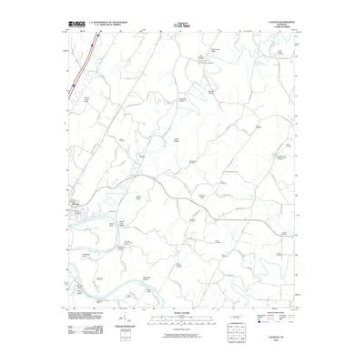 2010 Calhoun2010 Print · USGSThe Hiwassee River corridor in the early twenty-first century reveals a landscape steeped in family history and river-bend geography. Genealogists can trace deep local roots at Shiloh Presbyterian Cemetery, Hambright Bend, and Calhoun.
 - 2010 Map of Felker, 2010 Print
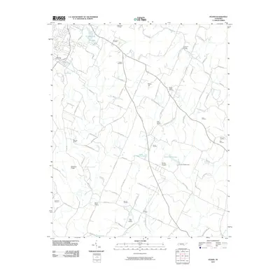 2010 Felker2010 Print · USGSEastern Bradley County is seen here during the first decade of the 2000s, featuring a landscape of small farms and family cemeteries. Trace local lineage and burial sites at Macedonia Cemetery, Thompson Springs, and Swan Cemetery.
 - 2011 Map of Mecca, 2011 Print
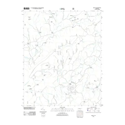 2011 Mecca2011 Print · USGSMonroe County mountain communities are captured here in the early twenty-first century as they interface with the forest. Family historians can locate several burial grounds including Conasauga Cemetery and Prospect Cemetery, or trace the waters of Lick Creek and Bullet Creek Falls.
 - 2011 Map of Etowah, 2011 Print
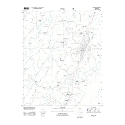 2011 Etowah2011 Print · USGSMcMinn County at the start of the twenty-first century reveals a landscape shaped by the L and N RR and a dense network of rural communities. Genealogists can trace family names through dozens of sites like Jones Chapel Cemetery, Coghill Baptist Church, and the settlement of Grady.
 - 2011 Map of Oswald Dome, 2011 Print
 2011 Oswald Dome2011 Print · USGSBenton Springs and the Hiwassee River valley are documented here in the early twenty-first century. Genealogists and historians can locate numerous family burial sites like Parris Cemetery and Reliance Cemetery or trace old river landmarks like Savannah Ford.
 - 2011 Map of Parksville, 2011 Print
 2011 Parksville2011 Print · USGSSoutheast Tennessee at the start of the 2010s shows a landscape of river-driven industry and deep-rooted family settlements. Genealogists can locate numerous rural burial grounds like Hillard-Ladd Cemetery and Ball Play Cemetery, alongside the massive Ocoee Dam Number One.
 - 2011 Map of Benton, 2011 Print
 2011 Benton2011 Print · USGSBenton and the surrounding river valleys are captured here at the start of the twenty-first century. Genealogists and local historians can locate many family-named landmarks and resting places, such as the Nancy Ward Cemetery, McClary Islands, and Benton Station.
 - 2011 Map of Hemp Top, 2011 Print
 2011 Hemp Top2011 Print · USGSThe Georgia-Tennessee borderlands appear here in the early twenty-first century as a landscape of high ridges and deep river forks. Genealogists and hikers can trace remote landmarks like Jones Cemetery and historical crossings at Indian Grave Gap or Patterson Gap.
 - 2011 Map of Tennga, 2011 Print
 2011 Tennga2011 Print · USGSMurray County sits at the edge of the Tennessee line in this early 2010s survey of a quiet mountain landscape. Genealogists and hikers can trace the rural communities of Tennga and Cisco along with local landmarks like Gryder Camp and Cohutta Springs.
 - 2011 Map of Beaverdale, 2011 Print
 2011 Beaverdale2011 Print · USGSThe Conasauga River valley at the turn of the decade preserves a quiet network of North Georgia settlements and river crossings. Genealogists can trace local roots through Shields Harris Cemetery, Gregorys Mill, and the riverside community of Beaverdale.
 - 2011 Map of Epworth, 2011 Print
 2011 Epworth2011 Print · USGSThe Georgia-Tennessee border region near the Toccoa River is captured here in the early 21st century. Genealogists and historians can trace family-named sites like Patterson Mill, Millsaps Cemetery, and the Sally Jane Prospect mine.
 - 2011 Map of Mineral Bluff, 2011 Print
 2011 Mineral Bluff2011 Print · USGSNear the Georgia-Tennessee border in the early 2000s, the Toccoa River valley connects industrial centers with quiet mountain hollows. Genealogists and historians can locate legacy sites like CCC Camp 3467, the old Benchleg Ford, and Salem Number 2 Missionary Baptist Church Cemetery.
 - 2011 Map of McFarland, 2011 Print
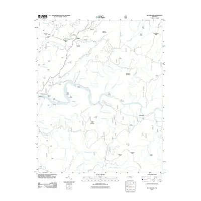 2011 McFarland2011 Print · USGSThe Hiwassee River valley in East Tennessee was home to small riverfront settlements and rugged forest communities. Genealogists can locate family landmarks such as Stephens Cemetery and Maggies Mill, or trace the path of the John Muir Trailhead.
 - 2011 Map of Caney Creek, 2011 Print
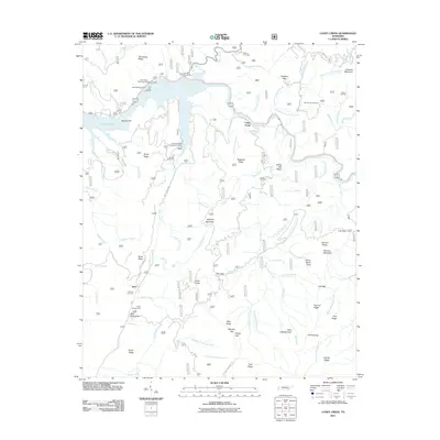 2011 Caney Creek2011 Print · USGSSoutheast Tennessee is documented here in the early twenty-first century as a landscape of forest service roads and high mountain ridges. Researchers can locate family burial sites like Curbow Cemetery and trace the paths of the Ocoee Flume and Jake's Trl.
 - 2011 Map of Ducktown, 2011 Print
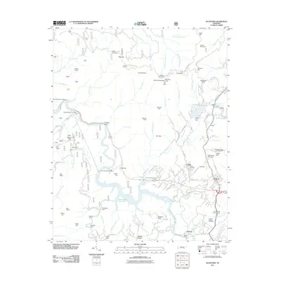 2011 Ducktown2011 Print · USGSThe industrial heart of the Tennessee copper mining district is captured here just after the turn of the millennium. Researchers can trace the heritage of Copper Basin through landmarks like the Postelle Post Office and Lamar-McJunkin Cemetery.
 - 2011 Map of Farner, 2011 Print
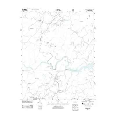 2011 Farner2011 Print · USGSThe Tennessee and North Carolina borderlands are defined by the winding Hiwassee River and high ridgelines during the early twenty-first century. Researchers can locate local landmarks like the Farner Post Office and Brock Cemetery, or trace infrastructure such as the Apalachia Tunnel.
 - 2011 Map of Isabella, 2011 Print
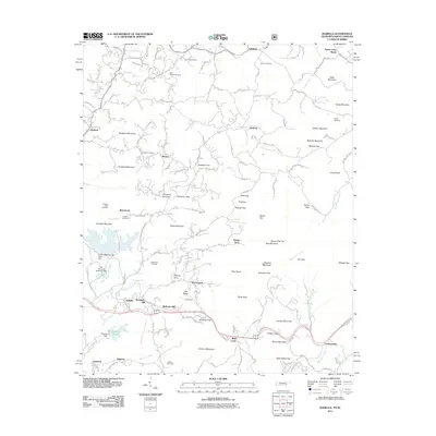 2011 Isabella2011 Print · USGSIsabella and the high ridges of Polk County are shown here in the early 2000s, documenting a landscape of small hamlets and mining legacy. Genealogists can locate family sites like Freeland Town Cemetery, Neal Chapel Cemetery, and the settlement at McGeetown.
 - 2013 Map of Parksville, 2013 Print
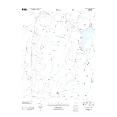 2013 Parksville2013 Print · USGSPolk County at the turn of the decade shows a landscape shaped by the Ocoee River and its recreational legacy. Researchers can trace the layout of small communities like Ball Play and Oldfort, or locate landmarks such as Camp Wasson and Sloan Gap.
 - 2013 Map of Felker, 2013 Print
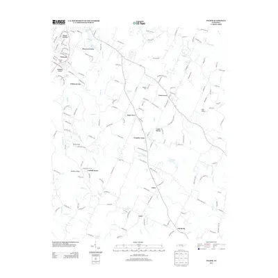 2013 Felker2013 Print · USGSNear Cleveland, Tennessee, in the early twenty-first century, this landscape shows a network of traditional rural settlements and agricultural roots. Trace local history through the roads connecting Pumpkin Center, Cedar Spring, and the fruit-growing grounds of Apple Valley Orchards.
 - 2013 Map of Isabella, 2013 Print
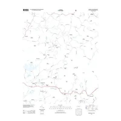 2013 Isabella2013 Print · USGSThe Ducktown Basin region of Tennessee and North Carolina is documented here in the early twenty-first century, showing the legacy of its mining past. Researchers can trace family-named settlements like Burger Town, McGeetown, and McAllister Hill alongside industrial sites like Gypsum Pond.
 - 2013 Map of Oswald Dome, 2013 Print
 2013 Oswald Dome2013 Print · USGSThe Hiwassee River valley in southeastern Tennessee is shown here in the early twenty-first century as a mix of river settlements and forest ridges. Researchers can trace the layout of Benton Springs, locate the DeSoto Monument, and explore family-named terrain like McCamy Ridge and Ernie King Hollow.
 - 2013 Map of Etowah, 2013 Print
 2013 Etowah2013 Print · USGSMcMinn County appears in the early twenty-first century as a blend of established rail centers and quiet rural crossroads. Researchers can trace local lineage through well-documented sites like Goosetown, Dentville, and the landmark Midway Drive-In.
 - 2013 Map of Ducktown, 2013 Print
 2013 Ducktown2013 Print · USGSSoutheastern Tennessee’s copper-mining country is captured here during the early twenty-first century, showing the enduring industrial footprint on the land. Genealogists and local historians can locate Hedden Grave, the community of Postelle, and the complex hydro-infrastructure of the Ocoee Flume.
 - 2013 Map of Benton, 2013 Print
 2013 Benton2013 Print · USGSBenton and the surrounding river valleys are captured here in the early twenty-first century as the Ocoee and Hiwassee Rivers dominate the local landscape. Researchers can trace family-named landmarks and small communities like Patty, Benton Station, and Hildebrand Bend.
 - 2013 Map of Farner, 2013 Print
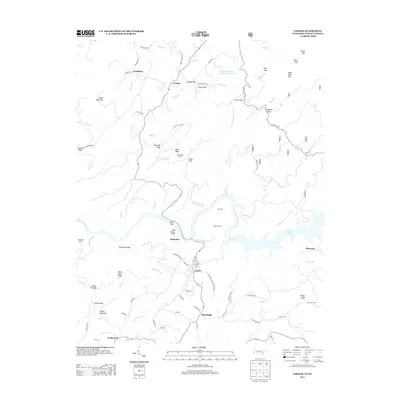 2013 Farner2013 Print · USGSThe Tennessee and North Carolina borderlands come alive in this recent survey, showcasing the mountain terrain surrounding the Hiwassee River. Researchers can trace local landmarks like the Apalachia Tunnel, Buck Bald Lookout, and the settlement at Farner.
Showing maps 1-25 of 63
Top cities of Polk County
Frequently asked questions
- What are the different types of historical maps available for Polk County?
- What is the oldest map of Polk County?
- Where can I purchase historical maps of Polk County for my home or office?
- Where can I download high-res historical maps of Polk County?
- Are there historical topographic maps available for Polk County?
- Is there historical aerial imagery available for Polk County?
- Where are historical maps of Polk County sourced from?