2000s (21st Century) Maps of Ducktown, Tennessee
Explore 11 historic maps of Ducktown from the 2000s (21st Century). These maps offer a rare glimpse into what life looked like during the 2000s — showing old roads, neighborhoods, homes, and landmarks that have changed or disappeared over time.
Whether you're researching your family's past, planning a metal detecting trip, or studying how Ducktown's landscape evolved across the 2000s, these high-resolution maps are a powerful tool for exploring the history of this region.
- Focus on a specific era: All maps on this page are from the 2000s, giving you a focused view of this time period.
- See what’s changed: Compare century-old streets, trails, and buildings to today's modern landscape using overlays and satellite layers.
- Research with precision: Use these maps for genealogy, historical research, land use analysis, or educational projects.
- View, download, or print: Maps are fully viewable online in high resolution, and can be downloaded or printed for your own records.
Start exploring Ducktown's history through authentic maps from the 2000s. This is your window into the past.
Ducktown, TN maps
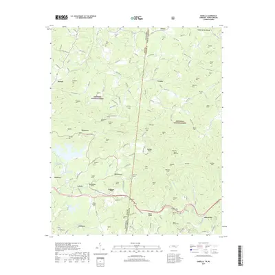
(11)- 2003 Map of Ducktown, 2004 Print
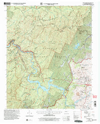 2003 Ducktown2004 Print · USGSThe Tennessee Copper Basin is revealed in detail during the early 2000s, showing the industrial landscape near Ducktown. Genealogists and historians can trace the L & N RR corridor and locate local landmarks like the Burra Burra Mine and Mt Zion Ch.
 - 2011 Map of Ducktown, 2011 Print
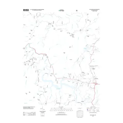
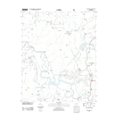 2011 Ducktown2011 Print · USGSCovers Ducktown, including Copperhill, Chanceytown, and other nearby areas
 - 2011 Map of Isabella, 2011 Print
 2011 Isabella2011 Print · USGSCovers Ducktown, including Fields of the Wood, Belltown, and other nearby areas
 - 2013 Map of Isabella, 2013 Print
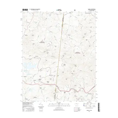
 2013 Isabella2013 Print · USGSCovers Ducktown, including Fields of the Wood, Belltown, and other nearby areas
 - 2013 Map of Ducktown, 2013 Print
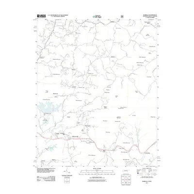
 2013 Ducktown2013 Print · USGSCovers Ducktown, including Copperhill, Chanceytown, and other nearby areas
 - 2016 Map of Ducktown, 2016 Print
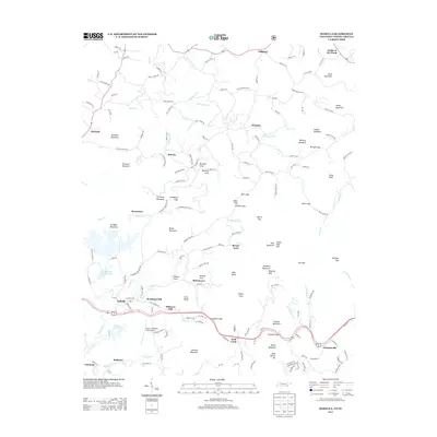
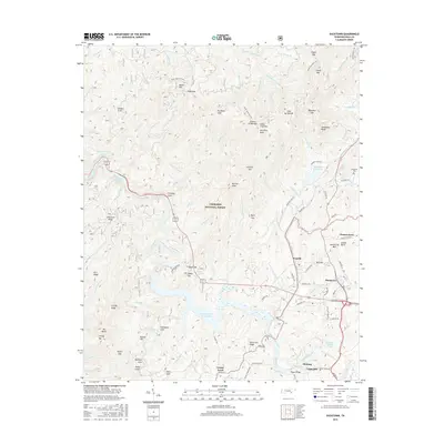 2016 Ducktown2016 Print · USGSCovers Ducktown, including Copperhill, Chanceytown, and other nearby areas
 - 2016 Map of Isabella, 2016 Print
 2016 Isabella2016 Print · USGSCovers Ducktown, including Fields of the Wood, Belltown, and other nearby areas
 - 2019 Map of Ducktown, 2019 Print
 2019 Ducktown2019 Print · USGSCovers Ducktown, including Copperhill, Chanceytown, and other nearby areas
 - 2019 Map of Isabella, 2019 Print
 2019 Isabella2019 Print · USGSCovers Ducktown, including Fields of the Wood, Belltown, and other nearby areas
 - 2022 Map of Ducktown, 2022 Print
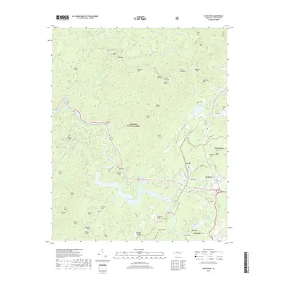
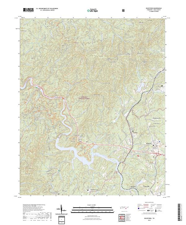 2022 Ducktown2022 Print · USGSThe industrial heart of the Copper Basin is captured here in the early twenty-first century, centered on the historic mining towns of Ducktown and Copperhill. Researchers can trace local lineage at the McJunkin Cem or follow the path of the Ocoee Flume along the river.
 - 2022 Map of Isabella, 2022 Print
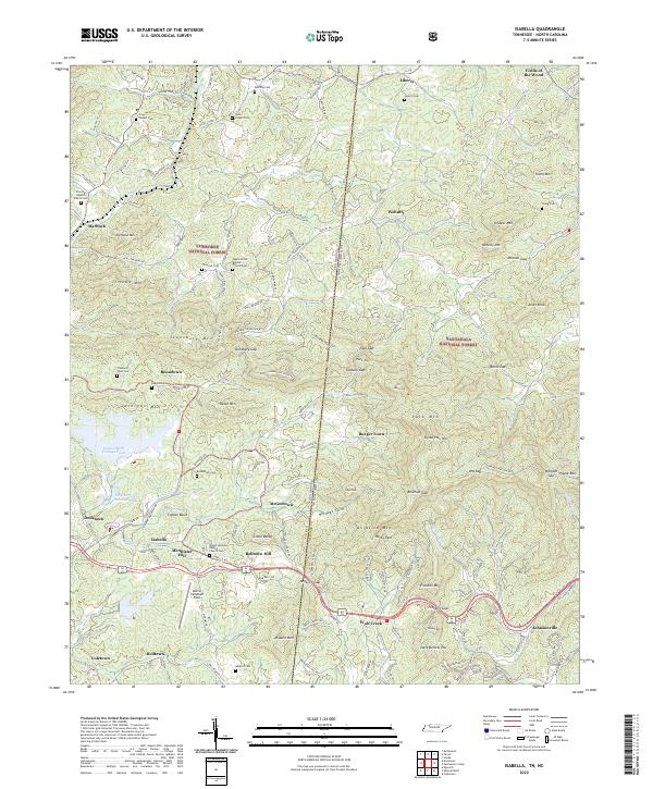 2022 Isabella2022 Print · USGSThe Tennessee and North Carolina borderlands come alive in this survey of the Copper Basin and its surrounding timberlands. Local historians can trace family roots through mountain settlements and cemeteries like Burger Town, Ducktown, and Freeland Town Cem.
End of results
Showing maps 1-11 of 11
Top cities near Ducktown
- McCaysville historical maps
- Blue Ridge historical maps
- Copperhill historical maps
- Morganton historical maps
Frequently asked questions
- What are the different types of historical maps available for Ducktown?
- What is the oldest map of Ducktown?
- Where can I purchase historical maps of Ducktown for my home or office?
- Where can I download high-res historical maps of Ducktown?
- Are there historical topographic maps available for Ducktown?
- Is there historical aerial imagery available for Ducktown?
- Where are historical maps of Ducktown sourced from?