2000s (21st Century) Maps of Rutherford County, Tennessee
Explore 95 historic maps of Rutherford County from the 2000s (21st Century). These maps offer a rare glimpse into what life looked like during the 2000s — showing old roads, neighborhoods, homes, and landmarks that have changed or disappeared over time.
Whether you're researching your family's past, planning a metal detecting trip, or studying how Rutherford County's landscape evolved across the 2000s, these high-resolution maps are a powerful tool for exploring the history of this region.
- Focus on a specific era: All maps on this page are from the 2000s, giving you a focused view of this time period.
- See what’s changed: Compare century-old streets, trails, and buildings to today's modern landscape using overlays and satellite layers.
- Research with precision: Use these maps for genealogy, historical research, land use analysis, or educational projects.
- View, download, or print: Maps are fully viewable online in high resolution, and can be downloaded or printed for your own records.
Start exploring Rutherford County's history through authentic maps from the 2000s. This is your window into the past.
Rutherford County, TN maps
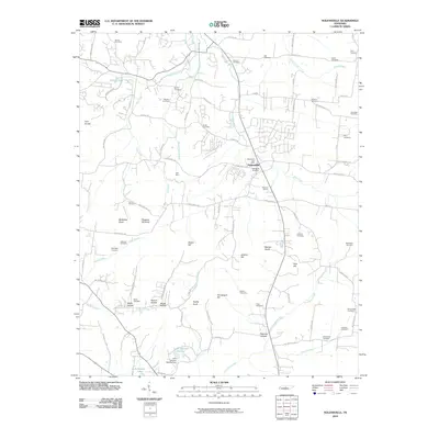
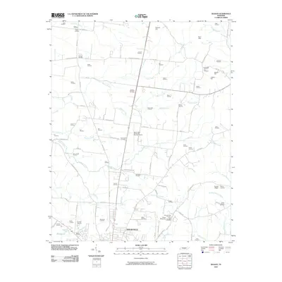
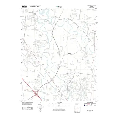
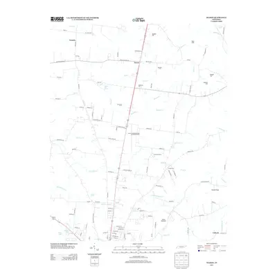
(95)- 2010 Map of Lascassas, 2010 Print
 2010 Lascassas2010 Print · USGSCovers Rutherford County, including Murfreesboro, Brian Manor, and other nearby areas
 - 2010 Map of Rover, 2010 Print
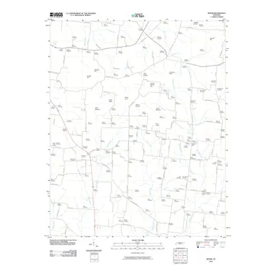 2010 Rover2010 Print · USGSCovers Rutherford County, including Eagleville, Mount Vernon, and other nearby areas
 - 2010 Map of Dillton, 2010 Print
 2010 Dillton2010 Print · USGSCovers Rutherford County, including Murfreesboro, Dillton, and other nearby areas
 - 2010 Map of Smyrna, 2010 Print
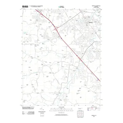 2010 Smyrna2010 Print · USGSCovers Rutherford County, including Nashville, Murfreesboro, and other nearby areas
 - 2010 Map of Nolensville, 2010 Print
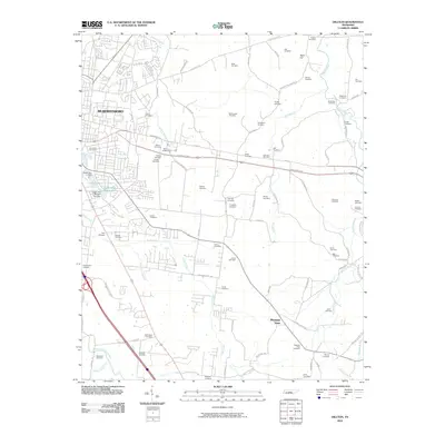
 2010 Nolensville2010 Print · USGSCovers Rutherford County, including Nashville, Franklin, and other nearby areas
 - 2010 Map of Fosterville, 2010 Print
 2010 Fosterville2010 Print · USGSCovers Rutherford County, including Fosterville, Midland, and other nearby areas
 - 2010 Map of Webbs Jungle, 2010 Print
 2010 Webbs Jungle2010 Print · USGSCovers Rutherford County, including Beechwood, Webbs Jungle, and other nearby areas
 - 2010 Map of La Vergne, 2010 Print
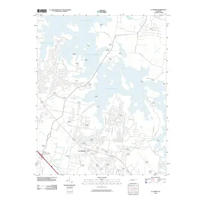 2010 La Vergne2010 Print · USGSCovers Rutherford County, including Nashville, Smyrna, and other nearby areas
 - 2010 Map of College Grove, 2010 Print
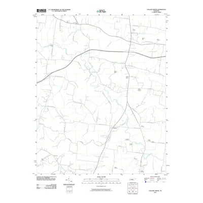 2010 College Grove2010 Print · USGSCovers Rutherford County, including Eagleville, Benhill, and other nearby areas
 - 2010 Map of Murfreesboro, 2010 Print
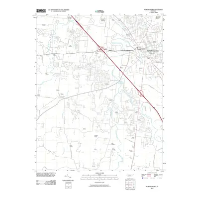 2010 Murfreesboro2010 Print · USGSCovers Rutherford County, including Murfreesboro, Creekwood, and other nearby areas
 - 2010 Map of Vine, 2010 Print
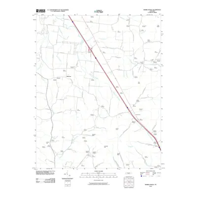
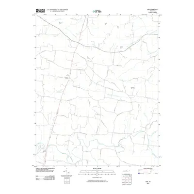 2010 Vine2010 Print · USGSCovers Rutherford County, including Adams Grove, Major, and other nearby areas
 - 2010 Map of Rockvale, 2010 Print
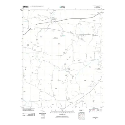 2010 Rockvale2010 Print · USGSCovers Rutherford County, including Murfreesboro, Crestwood, and other nearby areas
 - 2010 Map of Deason, 2010 Print
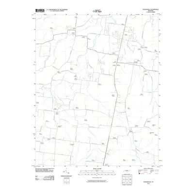
 2010 Deason2010 Print · USGSCovers Rutherford County, including Shelbyville, Vannatta, and other nearby areas
 - 2010 Map of Chapel Hill, 2010 Print
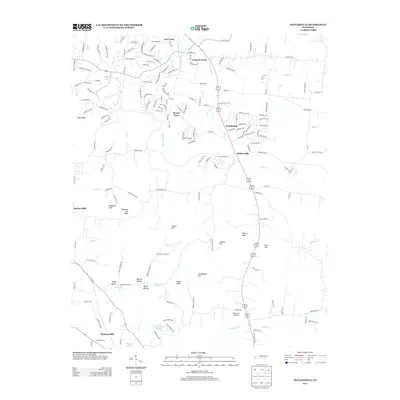
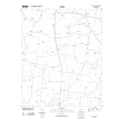 2010 Chapel Hill2010 Print · USGSCovers Rutherford County, including Chapel Hill, Eagleville, and other nearby areas
 - 2010 Map of Beechgrove, 2010 Print
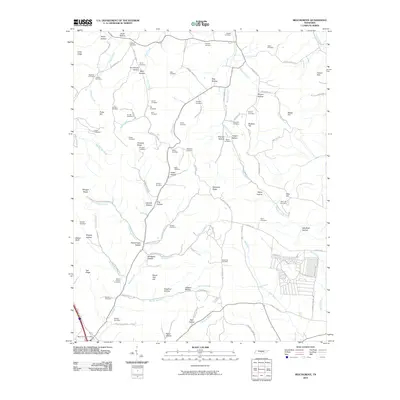 2010 Beechgrove2010 Print · USGSCovers Rutherford County, including Fudgearound, Hoodoo, and other nearby areas
 - 2010 Map of Readyville, 2010 Print
 2010 Readyville2010 Print · USGSCovers Rutherford County, including Kittrell, Curlee, and other nearby areas
 - 2010 Map of Walterhill, 2010 Print
 2010 Walterhill2010 Print · USGSCovers Rutherford County, including Murfreesboro, Smyrna, and other nearby areas
 - 2010 Map of Milton, 2010 Print
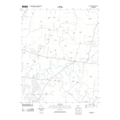
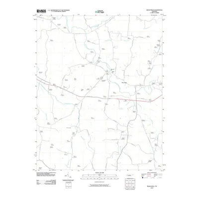
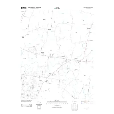
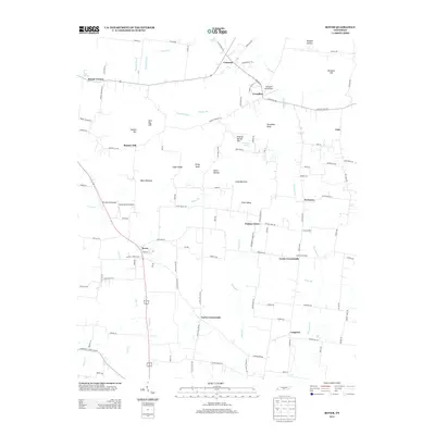
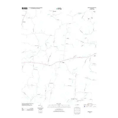
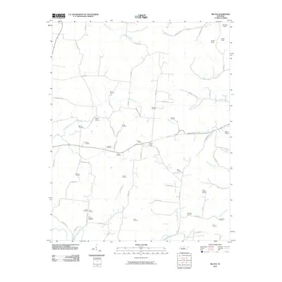 2010 Milton2010 Print · USGSCovers Rutherford County, including Cainsville, Porterfield, and other nearby areas
 - 2010 Map of Gladeville, 2010 Print
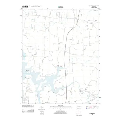 2010 Gladeville2010 Print · USGSCovers Rutherford County, including Smyrna, La Vergne, and other nearby areas
 - 2013 Map of Vine, 2013 Print
 2013 Vine2013 Print · USGSCovers Rutherford County, including Adams Grove, Major, and other nearby areas
 - 2013 Map of Lascassas, 2013 Print
 2013 Lascassas2013 Print · USGSCovers Rutherford County, including Murfreesboro, Brian Manor, and other nearby areas
 - 2013 Map of Rover, 2013 Print
 2013 Rover2013 Print · USGSCovers Rutherford County, including Eagleville, Mount Vernon, and other nearby areas
 - 2013 Map of Nolensville, 2013 Print
 2013 Nolensville2013 Print · USGSCovers Rutherford County, including Nashville, Franklin, and other nearby areas
 - 2013 Map of Milton, 2013 Print
 2013 Milton2013 Print · USGSCovers Rutherford County, including Cainsville, Porterfield, and other nearby areas
 - 2013 Map of Deason, 2013 Print
 2013 Deason2013 Print · USGSCovers Rutherford County, including Shelbyville, Vannatta, and other nearby areas
Showing maps 1-25 of 95
Top cities of Rutherford County
- Murfreesboro historical maps
- Smyrna historical maps
- La Vergne historical maps
- Eagleville historical maps
Frequently asked questions
- What are the different types of historical maps available for Rutherford County?
- What is the oldest map of Rutherford County?
- Where can I purchase historical maps of Rutherford County for my home or office?
- Where can I download high-res historical maps of Rutherford County?
- Are there historical topographic maps available for Rutherford County?
- Is there historical aerial imagery available for Rutherford County?
- Where are historical maps of Rutherford County sourced from?