2010s Maps of Rutherford County, Tennessee
Explore 76 historic maps of Rutherford County from the 2010s. These maps offer a rare glimpse into what life looked like during the 2010s — showing old roads, neighborhoods, homes, and landmarks that have changed or disappeared over time.
Whether you're researching your family's past, planning a metal detecting trip, or studying how Rutherford County's landscape evolved across the 2010s, these high-resolution maps are a powerful tool for exploring the history of this region.
- Focus on a specific era: All maps on this page are from the 2010s, giving you a focused view of this time period.
- See what’s changed: Compare century-old streets, trails, and buildings to today's modern landscape using overlays and satellite layers.
- Research with precision: Use these maps for genealogy, historical research, land use analysis, or educational projects.
- View, download, or print: Maps are fully viewable online in high resolution, and can be downloaded or printed for your own records.
Start exploring Rutherford County's history through authentic maps from the 2010s. This is your window into the past.
Rutherford County, TN maps
(76)- 2010 Map of Lascassas, 2010 Print
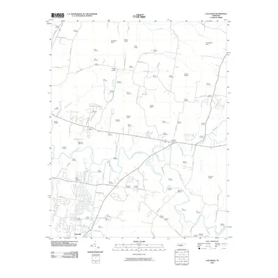 2010 Lascassas2010 Print · USGSThe rural Tennessee landscape of Rutherford County is captured here in the early twenty-first century, centered on the East Fork Stones River. Genealogists and historians can trace dozens of family-named burial sites and landmarks like Walter Hill Dam, Browns Mill Dam, and Northcutt Cemetery.
 - 2010 Map of Rover, 2010 Print
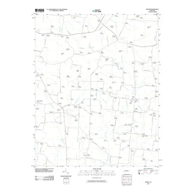 2010 Rover2010 Print · USGSThis rural Tennessee landscape south of Murfreesboro is captured here in the early twenty-first century. Genealogists and historians can trace dozens of family-named burial grounds like Smotherman Cemetery and Taylor Cemetery, alongside landmarks such as Puckett Airport.
 - 2010 Map of Dillton, 2010 Print
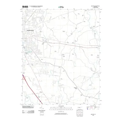 2010 Dillton2010 Print · USGSMurfreesboro and the surrounding Rutherford County countryside appear here just as suburban growth began pressing into historic farmland. Genealogists can trace dozens of family burial sites like Lillard Cemetery or follow the waters of the Middle Fork Stones River.
 - 2010 Map of Smyrna, 2010 Print
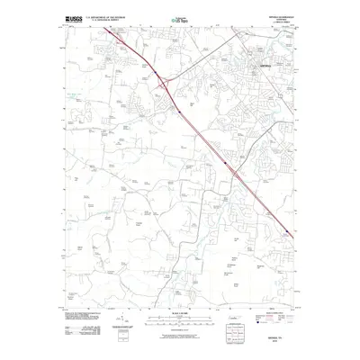 2010 Smyrna2010 Print · USGSSmyrna is shown here at a moment of modern growth, while its landscape remains deeply tied to its early pioneer roots. Genealogists can trace dozens of family burial sites, from the Sam Davis Cemetery and Mapleview Cemetery to the quiet Walpole-Garner Cemetery.
 - 2010 Map of Nolensville, 2010 Print
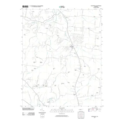 2010 Nolensville2010 Print · USGSNolensville and its surrounding hills are captured in this 2010 survey during a period of steady residential growth. Genealogists can trace family heritage across more than twenty burial sites, including the Battle Cemetery, McFarlin Cemetery, and Hamor Cemetery.
 - 2010 Map of Fosterville, 2010 Print
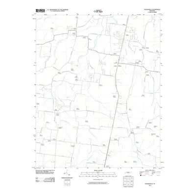 2010 Fosterville2010 Print · USGSThe rural landscapes south of Murfreesboro come into focus in this recent survey of Tennessee's heartland. Researchers can trace dozens of family burial grounds and historic markers, including the Christiana Post Office, Nebo Knobs, and Alexander Cemetery.
 - 2010 Map of Webbs Jungle, 2010 Print
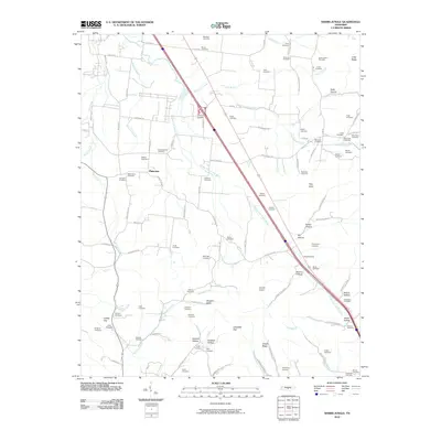 2010 Webbs Jungle2010 Print · USGSCentral Tennessee at the dawn of the new millennium reveals a landscape deeply tied to its geography and family history. Genealogists and historians can trace lineage across numerous family burial grounds, from Robinson Cemetery to Stephenson Cemetery, while exploring features like Hoovers Gap.
 - 2010 Map of La Vergne, 2010 Print
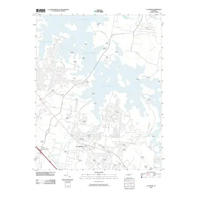 2010 La Vergne2010 Print · USGSLa Vergne and the surrounding Davidson County shoreline appear here in the early twenty-first century as a blend of suburban growth and historical remnants. Genealogists and local historians can trace numerous family burial sites like Buchanan Cemetery and Leigh Cemetery or locate the Bannister Mine.
 - 2010 Map of College Grove, 2010 Print
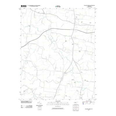 2010 College Grove2010 Print · USGSCollege Grove and Triune are shown here in the first decade of the new millennium as the Middle Tennessee landscape maintained its rural character. Researchers can locate many family-named burial sites like Newton Cannon Cemetery and the crossroads at Arrington Post Office.
 - 2010 Map of Murfreesboro, 2010 Print
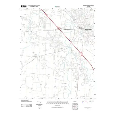 2010 Murfreesboro2010 Print · USGSMurfreesboro and the surrounding Rutherford County countryside are shown here in the early twenty-first century, balancing suburban growth with deep-rooted Civil War history. Genealogists and historians can trace numerous family burial grounds including Washington Cemetery, Benevolent Cemetery, and the historic Old City Cemetery.
 - 2010 Map of Vine, 2010 Print
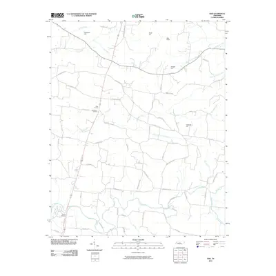 2010 Vine2010 Print · USGSWilson County, Tennessee, is captured here in the early twenty-first century as a landscape of family-named hills and winding creek branches. Genealogists can trace burial sites at Major Cemetery or Shelton Cemetery and locate historical thoroughfares like Old Murfreesboro Rd E.
 - 2010 Map of Rockvale, 2010 Print
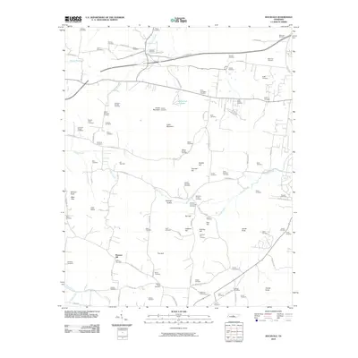 2010 Rockvale2010 Print · USGSThe rural landscape southwest of Murfreesboro comes into focus here, showing a community built around ridges and family farmsteads. Genealogists can trace dozens of family burial sites including the Lytle-Banks and Glenn-Windrow plots near the Rockvale Post Office.
 - 2010 Map of Deason, 2010 Print
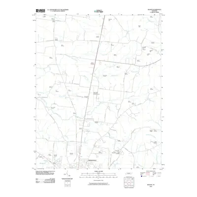 2010 Deason2010 Print · USGSShelbyville and rural Bedford County appear here in the early twenty-first century, showing a landscape deeply rooted in family history. Genealogists can locate dozens of burial sites like the Erwin Slave Cemetery, Hart Chapel Cemetery, and Mount Moriah Cemetery.
 - 2010 Map of Chapel Hill, 2010 Print
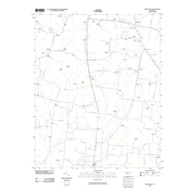 2010 Chapel Hill2010 Print · USGSThe rural border of Marshall and Rutherford Counties comes to life in this survey, showing the landscape between Eagleville and Chapel Hill. Genealogists can trace family roots through dozens of local burial sites like Marrs Hill Cemetery and the Flat Creek School district.
 - 2010 Map of Beechgrove, 2010 Print
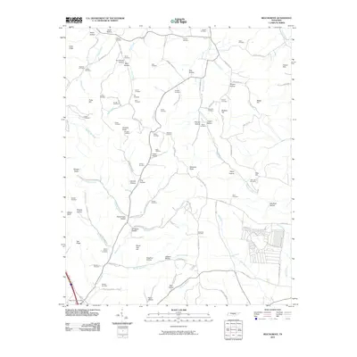 2010 Beechgrove2010 Print · USGSCoffee County remains a landscape of deep hollows and family homesteads as seen in the first decade of the millennium. Genealogists can trace decades of local history through dozens of named burial sites like Thyatira Cemetery, Donnell Cemetery, and the Beech Grove Post Office area.
 - 2010 Map of Readyville, 2010 Print
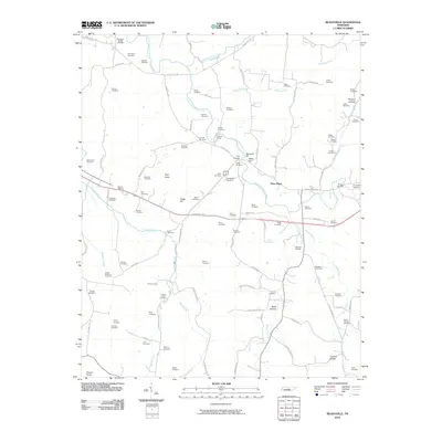 2010 Readyville2010 Print · USGSRutherford County at the start of the 2010s shows a landscape defined by its river forks and deep family roots. Researchers can trace dozens of local burial grounds and historic sites like Readyville Mill, Gooch Ford, and The Corners.
 - 2010 Map of Walterhill, 2010 Print
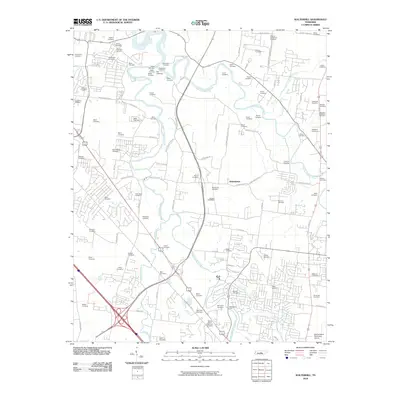 2010 Walterhill2010 Print · USGSThe river forks north of Murfreesboro come into sharp focus in this 2010 survey of the Rutherford County countryside. Genealogists and local historians can trace scores of family burial sites including Old Jefferson Cemetery, Sam Davis Cemetery, and McFaddens Ford.
 - 2010 Map of Milton, 2010 Print
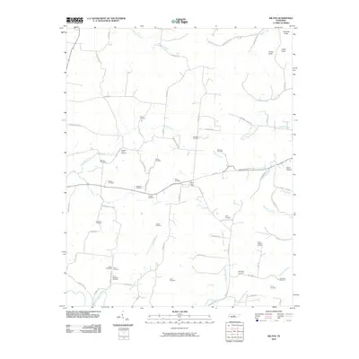 2010 Milton2010 Print · USGSMid-state Tennessee hill country and creek bottoms are meticulously documented here in the early twenty-first century. Genealogists can locate over a dozen family burial sites, including the Rucker Goodloe Cemetery and Bradleys Creek Cemetery.
 - 2010 Map of Gladeville, 2010 Print
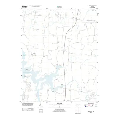 2010 Gladeville2010 Print · USGSRutherford and Wilson counties are shown here as the local landscape adapts to the presence of the J Percy Priest Reservoir. Genealogists can trace dozens of family burial sites like Livenston Cemetery, Lannom Cemetery, and Brothers Cemetery.
 - 2013 Map of Vine, 2013 Print
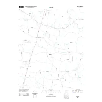 2013 Vine2013 Print · USGSWilson County is captured here in the early twenty-first century, showing a landscape of small settlements and high ground. Genealogists and local historians can trace family locations near Bairds Mill, Adams Grove, and the unique Jacksons Cave Spring.
 - 2013 Map of Lascassas, 2013 Print
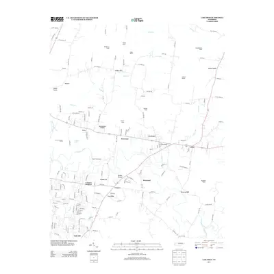 2013 Lascassas2013 Print · USGSRutherford County is seen in the early twenty-first century, showing the rural character of the area northeast of Murfreesboro. Researchers can trace local landmarks like Browns Mill, the community of Lascassas, and several family-named high points including Casons Knobs and Halls Knob.
 - 2013 Map of Rover, 2013 Print
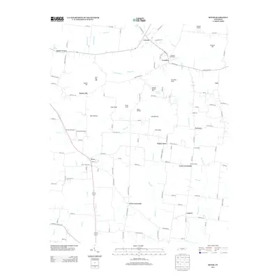 2013 Rover2013 Print · USGSRural Rutherford County is captured here in the early 2010s, showing a landscape of traditional crossroads and private aviation strips. Genealogists can trace family landmarks like Hudson Hill and Bett Ray Hill or locate the Versailles Aerodrome.
 - 2013 Map of Nolensville, 2013 Print
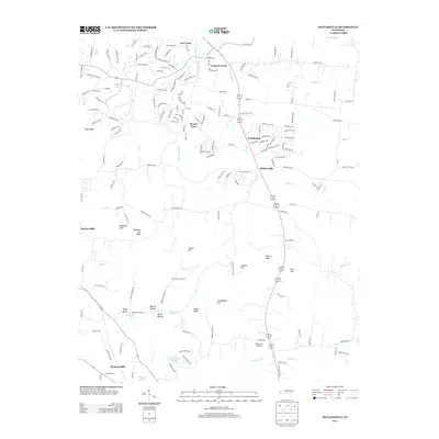 2013 Nolensville2013 Print · USGSNolensville and its surrounding knobs and hollows are captured here during a season of suburban growth south of Nashville. Researchers can trace the layout of Stonebrook and Sunset Acres alongside local landmarks like Molly Hollow and Polk Hill.
 - 2013 Map of Milton, 2013 Print
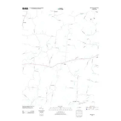 2013 Milton2013 Print · USGSThe rural countryside of Wilson County comes to life in this recent survey, showcasing a landscape of family farms and creek-side settlements. Genealogists and local historians can trace the roads connecting Milton and Cainsville or locate Stonewall Airpark.
 - 2013 Map of Deason, 2013 Print
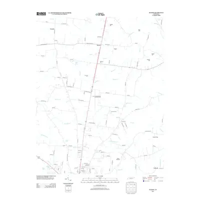 2013 Deason2013 Print · USGSBedford County just north of Shelbyville shows a landscape of productive estates and vital water sources in the early twenty-first century. Researchers can locate named family lands like Fairfield Farm and trace the many branches of Hurricane Cr and Fall Cr.
Showing maps 1-25 of 76
Top cities of Rutherford County
- Murfreesboro historical maps
- Smyrna historical maps
- La Vergne historical maps
- Eagleville historical maps
Frequently asked questions
- What are the different types of historical maps available for Rutherford County?
- What is the oldest map of Rutherford County?
- Where can I purchase historical maps of Rutherford County for my home or office?
- Where can I download high-res historical maps of Rutherford County?
- Are there historical topographic maps available for Rutherford County?
- Is there historical aerial imagery available for Rutherford County?
- Where are historical maps of Rutherford County sourced from?