2000s (21st Century) Maps of Dunlap, Tennessee
Explore 20 historic maps of Dunlap from the 2000s (21st Century). These maps offer a rare glimpse into what life looked like during the 2000s — showing old roads, neighborhoods, homes, and landmarks that have changed or disappeared over time.
Whether you're researching your family's past, planning a metal detecting trip, or studying how Dunlap's landscape evolved across the 2000s, these high-resolution maps are a powerful tool for exploring the history of this region.
- Focus on a specific era: All maps on this page are from the 2000s, giving you a focused view of this time period.
- See what’s changed: Compare century-old streets, trails, and buildings to today's modern landscape using overlays and satellite layers.
- Research with precision: Use these maps for genealogy, historical research, land use analysis, or educational projects.
- View, download, or print: Maps are fully viewable online in high resolution, and can be downloaded or printed for your own records.
Start exploring Dunlap's history through authentic maps from the 2000s. This is your window into the past.
Dunlap, TN maps
(20)- 2010 Map of Savage Point, 2010 Print
 2010 Savage Point2010 Print · USGSCovers Dunlap, including Fredonia, Cagle, and other nearby areas
 - 2010 Map of Henson Gap, 2010 Print
 2010 Henson Gap2010 Print · USGSCovers Dunlap, including Hamilton County, Sequatchie County, and other nearby areas
 - 2010 Map of Daus, 2010 Print
 2010 Daus2010 Print · USGSCovers Dunlap, including Liberty, New Hope, and other nearby areas
 - 2010 Map of Mount Airy, 2010 Print
 2010 Mount Airy2010 Print · USGSCovers Dunlap, including Elm Hill, Mount Airy, and other nearby areas
 - 2013 Map of Savage Point, 2013 Print
 2013 Savage Point2013 Print · USGSCovers Dunlap, including Fredonia, Cagle, and other nearby areas
 - 2013 Map of Henson Gap, 2013 Print
 2013 Henson Gap2013 Print · USGSCovers Dunlap, including Hamilton County, Sequatchie County, and other nearby areas
 - 2013 Map of Mount Airy, 2013 Print
 2013 Mount Airy2013 Print · USGSCovers Dunlap, including Elm Hill, Mount Airy, and other nearby areas
 - 2013 Map of Daus, 2013 Print
 2013 Daus2013 Print · USGSCovers Dunlap, including Liberty, New Hope, and other nearby areas
 - 2016 Map of Mount Airy, 2016 Print
 2016 Mount Airy2016 Print · USGSCovers Dunlap, including Elm Hill, Mount Airy, and other nearby areas
 - 2016 Map of Daus, 2016 Print
 2016 Daus2016 Print · USGSCovers Dunlap, including Liberty, New Hope, and other nearby areas
 - 2016 Map of Savage Point, 2016 Print
 2016 Savage Point2016 Print · USGSCovers Dunlap, including Fredonia, Cagle, and other nearby areas
 - 2016 Map of Henson Gap, 2016 Print
 2016 Henson Gap2016 Print · USGSCovers Dunlap, including Hamilton County, Sequatchie County, and other nearby areas
 - 2019 Map of Henson Gap, 2019 Print
 2019 Henson Gap2019 Print · USGSCovers Dunlap, including Hamilton County, Sequatchie County, and other nearby areas
 - 2019 Map of Mount Airy, 2019 Print
 2019 Mount Airy2019 Print · USGSCovers Dunlap, including Elm Hill, Mount Airy, and other nearby areas
 - 2019 Map of Savage Point, 2019 Print
 2019 Savage Point2019 Print · USGSCovers Dunlap, including Fredonia, Cagle, and other nearby areas
 - 2019 Map of Daus, 2019 Print
 2019 Daus2019 Print · USGSCovers Dunlap, including Liberty, New Hope, and other nearby areas
 - 2022 Map of Henson Gap, 2022 Print
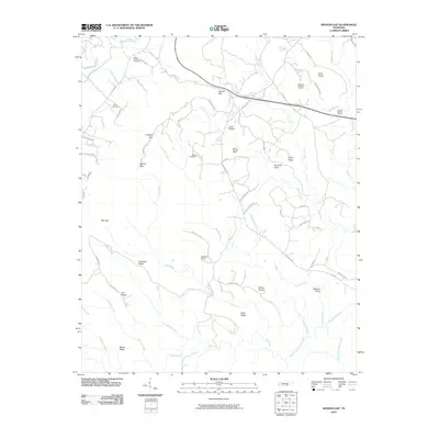
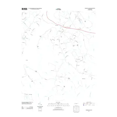
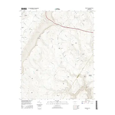
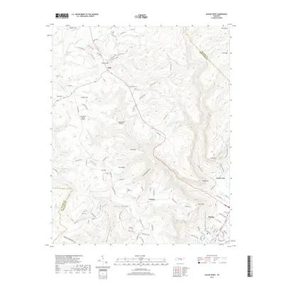
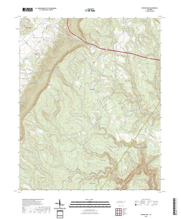 2022 Henson Gap2022 Print · USGSThe Cumberland Escarpment and Sequatchie Valley converge here during the late twentieth century, showing a landscape defined by dramatic elevation. Researchers can trace family sites like Davis Chapel Cem and navigate the high plateau terrain of Walden Ridge and Barker Pounds.
 - 2022 Map of Daus, 2022 Print
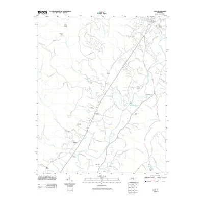
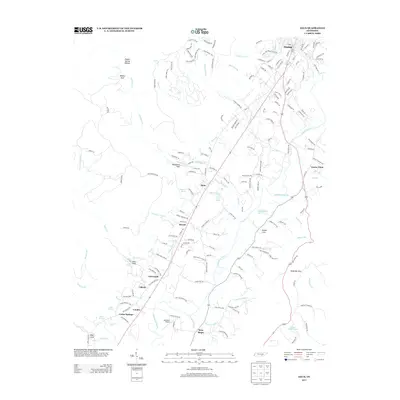
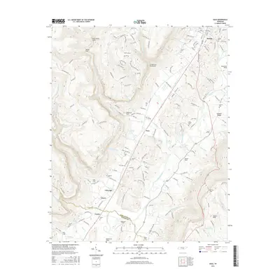
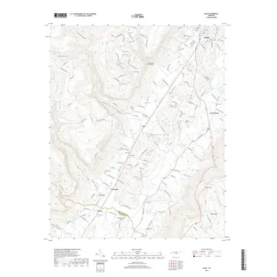
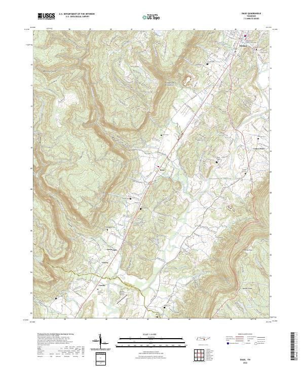 2022 Daus2022 Print · USGSThe Sequatchie Valley comes into focus in this recent survey, showing the corridor between the Cumberland Escarpment and Walden Ridge. Genealogists can locate family-named sites like Condra Memorial Cem, Cookston Cem, and the rural community of Daus.
 - 2022 Map of Savage Point, 2022 Print
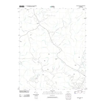
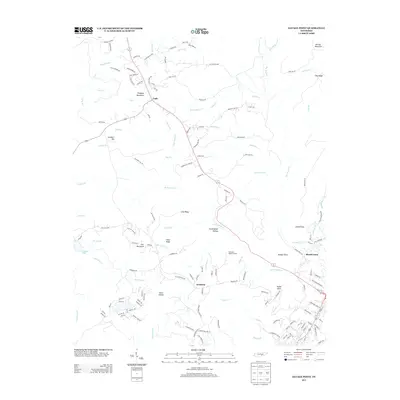
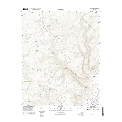
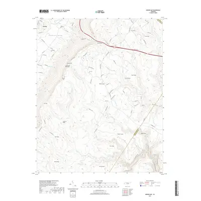
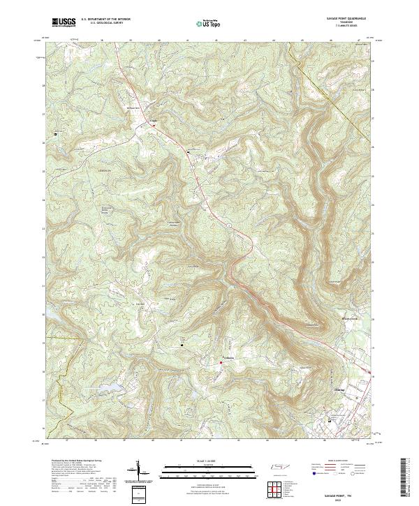 2022 Savage Point2022 Print · USGSThe rugged boundary between the plateau and the valley is captured here in the early twenty-first century. Genealogists and local historians can trace family locations near Lands Chapel, McGlothen Cem, and the old crossroads at Cagle or Fredonia.
 - 2022 Map of Mount Airy, 2022 Print
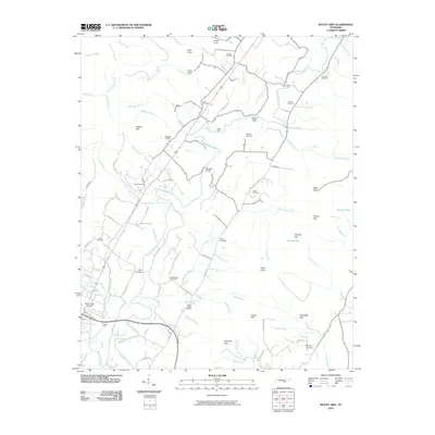
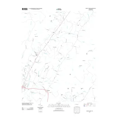
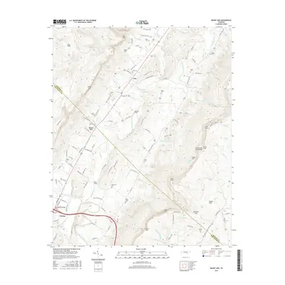
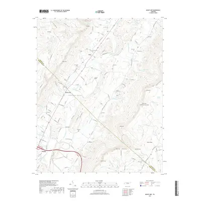
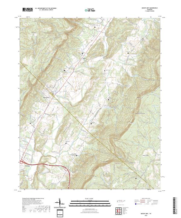 2022 Mount Airy2022 Print · USGSThe Sequatchie Valley and Walden Ridge area is documented in detail here during the early 2020s. Researchers can locate family heritage sites like Welch Chapel United Methodist Church Cem or trace the geography of Mount Airy and the Cumberland Escarpment.
End of results
Showing maps 1-20 of 20
Top cities near Dunlap
- Chattanooga historical maps
- Soddy-Daisy historical maps
- Signal Mountain historical maps
- Walden historical maps
- Lakesite historical maps
- Gruetli-Laager historical maps
See more
Top neighborhoods of Dunlap
Frequently asked questions
- What are the different types of historical maps available for Dunlap?
- What is the oldest map of Dunlap?
- Where can I purchase historical maps of Dunlap for my home or office?
- Where can I download high-res historical maps of Dunlap?
- Are there historical topographic maps available for Dunlap?
- Is there historical aerial imagery available for Dunlap?
- Where are historical maps of Dunlap sourced from?