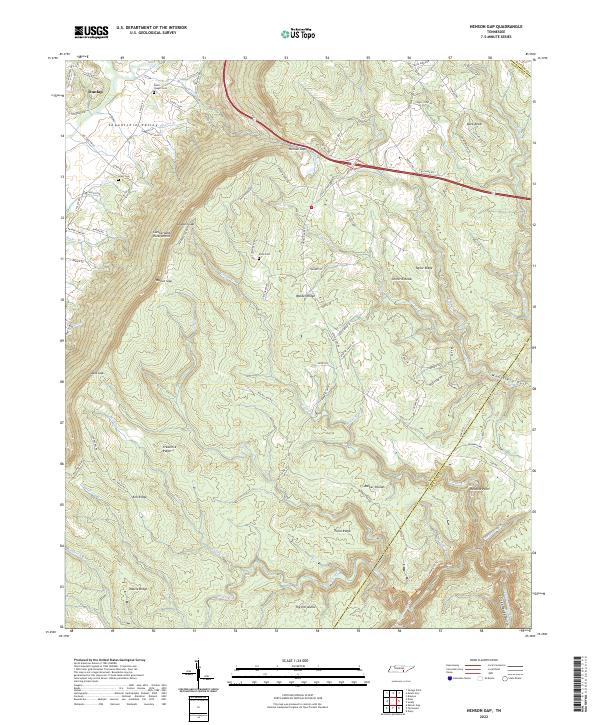
2022 Map of Henson Gap
USGS Topo · Published 2022About this map
The Cumberland Escarpment defines the dramatic transition from the Sequatchie Valley floor to the high plateau of Walden Ridge. Near the settlement of Dunlap, the landscape is shaped by the winding Sequatchie River and its tributaries, including Rogers Br and Henson Cr. This area is marked by numerous family-named landmarks and local burial sites, such as Davis Chapel Cem, Lewis Cem, and Davis Cem, which provide essential touchpoints for genealogical research in this part of Tennessee.
Find a feature on this map
95 named features on this map. Tap any name to fly to it.
Don’t see what you’re looking for? This feature index may not catch every label — zoom into the map to look around manually.
Map Details
Editions of this 2022 Henson Gap Map
This is the sole edition of this map. No revisions or reprints were ever made.
Other maps of this area

1888 · Chattanooga
USGS Topo · 1:125,000

1893 · Chattanooga
USGS Topo · 1:125,000

1935 · Daisy
USGS Topo · 1:24,000

1935 · Soddy
USGS Topo · 1:24,000

1935 · Brayton
USGS Topo · 1:24,000

1935 · Mount Airy
USGS Topo · 1:24,000

1936 · Daus
USGS Topo · 1:24,000

1936 · Henson Gap
USGS Topo · 1:24,000

1936 · Ketner Gap
USGS Topo · 1:24,000

1936 · Fairmount
USGS Topo · 1:24,000