1900s (20th Century) Maps of Sevier County, Tennessee
Explore 73 historic maps of Sevier County from the 1900s (20th Century). These maps offer a rare glimpse into what life looked like during the 1900s — showing old roads, neighborhoods, homes, and landmarks that have changed or disappeared over time.
Whether you're researching your family's past, planning a metal detecting trip, or studying how Sevier County's landscape evolved across the 1900s, these high-resolution maps are a powerful tool for exploring the history of this region.
- Focus on a specific era: All maps on this page are from the 1900s, giving you a focused view of this time period.
- See what’s changed: Compare century-old streets, trails, and buildings to today's modern landscape using overlays and satellite layers.
- Research with precision: Use these maps for genealogy, historical research, land use analysis, or educational projects.
- View, download, or print: Maps are fully viewable online in high resolution, and can be downloaded or printed for your own records.
Start exploring Sevier County's history through authentic maps from the 1900s. This is your window into the past.
Sevier County, TN maps
(73)- 1900 Map of Maynardville
 1900 Maynardville1900 Print · USGSEast Tennessee was a world of river fords and mountain gaps at the turn of the century, dominated by the winding Clinch and Powell rivers. Genealogists can trace family roots through specific landmarks like Massongills Mill, Church Grove, and Sharps Chapel.4 unique versions available
 - 1901 Map of Knoxville
 1901 Knoxville1901 Print · USGSThe East Tennessee borderlands meet the high Smokies at the turn of the century. Genealogists can trace early homesteads and crossroads near Sevierville and Maryville, or find landmarks like Cade Cove and Gatlinburg before they became tourist hubs.5 unique versions available
 - 1912 Map of Mt Guyot
 1912 Mt Guyot1912 Print · USGSThe Tennessee and North Carolina borderlands come into focus in the early twentieth century, prior to the creation of the Great Smoky Mountains National Park. Trace ancestral locations like Cataloochee and Smokemont or follow the Southern RR to Newport.5 unique versions available
 - 1935 Map of Mascot
 1935 Mascot1935 Print · USGSEast Tennessee during the mid-thirties reveals a landscape of river-bend farms and developing transit corridors along the Holston River. Genealogists and historians can trace family locations near Smith Mill, Howell Cem, and rural schoolhouses like Cynthiana Sch.
 - 1935 Map of Knoxville
 1935 Knoxville1935 Print · USGSKnoxville and its southern Blount County neighbors appear here in the mid-1930s as the TVA era begins. Researchers can trace family roots through Mt Olive Cem, locate the old Eastern State Hospital, or study the early layout of Sequoyah Hills.
 - 1935 Map of English Mountain
 1935 English Mountain1935 Print · USGSSevier County and the foothills of the Smokies are seen here during the mid-thirties as the national park was taking shape. Genealogists can trace family roots through scores of rural institutions like Smoky Mtn Academy, Pittman Center, and the Crockettville Sch.
 - 1935 Map of Straw Plains
 1935 Straw Plains1935 Print · USGSEast Tennessee life in the mid-1930s is centered on the winding Holston River and the bustling Southern railroad corridor. Researchers can trace family roots at Hickle Cem, find the site of Massengale Mill, or locate Indian Cave.
 - 1935 Map of Walden Creek
 1935 Walden Creek1935 Print · USGSMid-1930s Sevier County comes alive in this survey of the Chilhowee foothills and Walden Creek valley. Genealogists and historians can trace the foundations of local communities through landmarks like the Harrison-Chilhowee Institute, Cusick, and the DuPont Cem.
 - 1935 Map of Clevenger
 1935 Clevenger1935 Print · USGSJefferson and Cocke Counties are shown in the mid-1930s, featuring the rural communities nestled against the slopes of English Mountain. Genealogists and historians can locate family landmarks like Bridges Ch, trace the site of CCC Camp No 1467, or find the old Blowing Cave Mill.
 - 1935 Map of Jones Cove
 1935 Jones Cove1935 Print · USGSSevier County mountain life in the mid-thirties is documented here as the national park boundary was being established. Researchers can locate the Mitchell Wilson Mill, the CCC Camp No 423, and numerous rural schools like Sunset Gap Sch.
 - 1935 Map of Wildwood
 1935 Wildwood1935 Print · USGSBlount County at the foot of the Smokies appears as a network of creek-side farms and mountain gaps in the mid-1930s. Genealogists and local historians can locate long-standing landmarks such as Eusebia Ch, Oak View Sch, and the community of Wildwood.
 - 1935 Map of Richardson Cove
 1935 Richardson Cove1935 Print · USGSSevier County communities appear here in the mid-1930s, nestled between the ridgelines of the Great Smokies. Genealogists can trace family landmarks and schools including Smoky Mtn Academy, Richardson Cove, and Oldham.
 - 1935 Map of Shady Grove
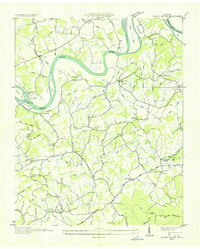 1935 Shady Grove1935 Print · USGSThe French Broad River valley at the border of Jefferson and Sevier counties is documented here just as the Tennessee Valley Authority began its regional work. Researchers can locate Depression-era rural landmarks like Lee Academy, Island Ford Mill, and Roaring Spring.
 - 1935 Map of New Market
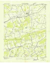 1935 New Market1935 Print · USGSJefferson County was undergoing significant modernization in the mid-1930s as the Tennessee Valley Authority mapped its growing infrastructure. Researchers can trace old family sites and industrial history through Dinwoody Mill, the SOUTHERN rail stops at Friends Station, and the Shrader Chapel Sch.
 - 1935 Map of Sevierville
 1935 Sevierville1935 Print · USGSSevier County during the mid-1930s is captured here in transition, showing the river-dependent communities along the French Broad River before modern development. Genealogists and historians can trace early school sites like Seven Islands Sch and old river crossings such as Trundle Ferry.
 - 1935 Map of Boyds Creek
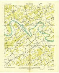 1935 Boyds Creek1935 Print · USGSEast Tennessee river life comes into focus in the mid-1930s along the winding French Broad River. Genealogists and local historians can trace family roots through numerous rural landmarks like Trundle Crossroads, Boyds Creek Cem, and the Huffaker Ferry.2 unique versions available
 - 1935 Map of Pigeon Forge
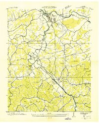 1935 Pigeon Forge1935 Print · USGSSevier County appears in the mid-thirties as a network of river-bottom farms and mountain hollows before the rise of modern tourism. Genealogists can locate family landmarks such as McCooksville, Henderson Springs, and the Williamsburg Sch.
 - 1935 Map of Kykers Ferry
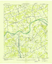 1935 Kykers Ferry1935 Print · USGSThe French Broad and Little Pigeon rivers meet in this mid-1930s survey of the Sevier and Jefferson county line. Genealogists and historians can trace the locations of Kykers Ferry, the French Broad Academy, and family-named cemeteries like Underwood Cem.
 - 1936 Map of Gatlinburg
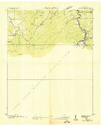 1936 Gatlinburg1936 Print · USGSGatlinburg and the northern Smokies appear here during the mid-1930s as the national park was being established. Genealogists can trace family homesteads near Starkeytown or locate landmarks like Husky Grove Ch and the Covemont Sch.
 - 1936 Map of Shooks Gap
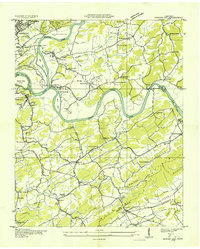 1936 Shooks Gap1936 Print · USGSEast of Knoxville in the mid-1930s, the confluence of the French Broad and Holston rivers shaped a landscape of ferry crossings and ridge-top farming. Genealogists can trace family footprints at Old Salem Cem, Whites Village, and the many rural schools like Anderson Sch.
 - 1936 Map of Wear Cove
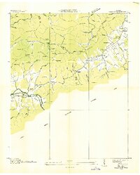 1936 Wear Cove1936 Print · USGSThe Great Smoky Mountains border these Tennessee coves during the mid-1930s, showing the early park boundary and the local rail line. Genealogists can trace family landmarks like Hatcher Cem, Coker Hill Chapel, and the isolated Carr Creek Sch.
 - 1936 Map of Cartertown
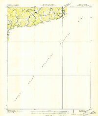 1936 Cartertown1936 Print · USGSSevier County communities sit along the edge of the newly established national park in the mid-1930s. Researchers can locate family landmarks like the Mc Carter Cem and Proffitt Cem or trace early school sites including Roaring Fork Sch.2 unique versions available
 - 1938 Map of Mascot
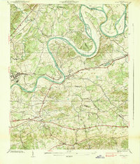 1938 Mascot1938 Print · USGSIn the late 1930s, the Holston River wound through a landscape of family-owned land and small railroad towns east of Knoxville. Researchers can trace ancestral roots through family-named landmarks like Crawford Cem and the Carter Mill.
 - 1939 Map of Shady Grove
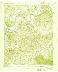 1939 Shady Grove1939 Print · USGSThe French Broad River valley in the late 1930s was a landscape of river-bottom farms and small upland communities. Genealogists and historians can trace family locations through numerous rural landmarks like Lee Academy, Island Ford Mill, and Shady Grove Cem.2 unique versions available
 - 1939 Map of Clevenger, 1954 Print
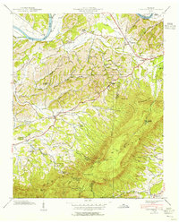 1939 Clevenger1954 Print · USGSJefferson and Cocke counties meet along the French Broad River in the late thirties, just as the local highway network was expanding. Genealogists can trace early homesteads and landmarks like Blowing Cave Mill, Bird Crossroads, and the Bogard Ch Rainwater Sch.
Showing maps 1-25 of 73
Top cities of Sevier County
- Sevierville historical maps
- Pigeon Forge historical maps
- Gatlinburg historical maps
- Pittman Center historical maps
Frequently asked questions
- What are the different types of historical maps available for Sevier County?
- What is the oldest map of Sevier County?
- Where can I purchase historical maps of Sevier County for my home or office?
- Where can I download high-res historical maps of Sevier County?
- Are there historical topographic maps available for Sevier County?
- Is there historical aerial imagery available for Sevier County?
- Where are historical maps of Sevier County sourced from?