2000s (21st Century) Maps of Sevier County, Tennessee
Explore 100 historic maps of Sevier County from the 2000s (21st Century). These maps offer a rare glimpse into what life looked like during the 2000s — showing old roads, neighborhoods, homes, and landmarks that have changed or disappeared over time.
Whether you're researching your family's past, planning a metal detecting trip, or studying how Sevier County's landscape evolved across the 2000s, these high-resolution maps are a powerful tool for exploring the history of this region.
- Focus on a specific era: All maps on this page are from the 2000s, giving you a focused view of this time period.
- See what’s changed: Compare century-old streets, trails, and buildings to today's modern landscape using overlays and satellite layers.
- Research with precision: Use these maps for genealogy, historical research, land use analysis, or educational projects.
- View, download, or print: Maps are fully viewable online in high resolution, and can be downloaded or printed for your own records.
Start exploring Sevier County's history through authentic maps from the 2000s. This is your window into the past.
Sevier County, TN maps
(100)- 2000 Map of Thunderhead Mtn, 2001 Print
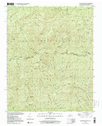 2000 Thunderhead Mtn2001 Print · USGSThe Tennessee-North Carolina border at the start of the 2000s remains a wild corridor of high-elevation gaps and remote ridges. Hikers and historians can trace the Appalachian Trail over Thunderhead Mtn and locate landmarks like Indian Flats Falls and Big Chestnut Bald.
 - 2000 Map of Silers Bald, 2001 Print
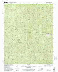 2000 Silers Bald2001 Print · USGSThe high divide of the Great Smoky Mountains is captured here at the turn of the millennium, showing the state line between Sevier County and Swain County. Hikers and historians can trace the Appalachian National Scenic Trail past Silers Bald, Double Spring Gap, and Mt Buckley.
 - 2000 Map of Mount Guyot, 2001 Print
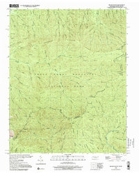 2000 Mount Guyot2001 Print · USGSThe high crest of the Smokies at the turn of the millennium remains a wilderness of named peaks and mountain trails along the state line. Trace the path of the Appalachian National Scenic Trail past Mount Guyot, Charles Bunion, and Tricorner Knob.
 - 2000 Map of Clingmans Dome, 2001 Print
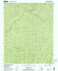 2000 Clingmans Dome2001 Print · USGSHigh atop the border of North Carolina and Tennessee in the early 2000s, this area showcases the heart of the Smokies. Trace the highest ridges of the Great Smoky Mountains National Park along the Appalachian Scenic Trail from Clingmans Dome to Newfound Gap.
 - 2000 Map of Gatlinburg, 2001 Print
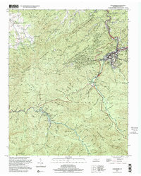 2000 Gatlinburg2001 Print · USGSGatlinburg and the northern Smokies appear here at the turn of the millennium, showing the transition from mountain resort to protected wilderness. Researchers can locate family cemeteries like Beech Grove Cem and legacy sites such as Elkmont and Starkeytown.
 - 2010 Map of Mascot, 2010 Print
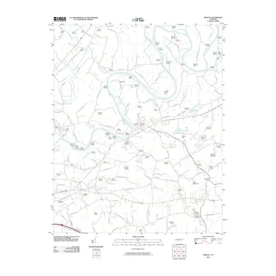 2010 Mascot2010 Print · USGSEast of Knoxville in the early twenty-first century, this landscape is defined by the winding Holston River and its long-established mining and farming communities. Researchers can trace family history through sites like Paw Paw Hollow or locate the Mascot Mine and McBee Ford.
 - 2010 Map of Wear Cove, 2010 Print
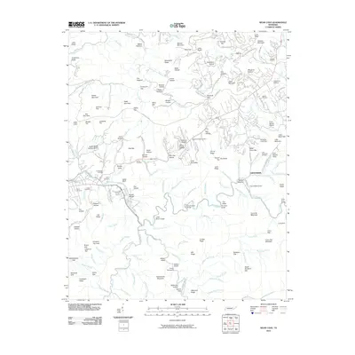 2010 Wear Cove2010 Print · USGSThe Tennessee mountains near Townsend come alive in this 2010 survey of the Greenbrier area. Genealogists and hikers can trace family-named sites and landmarks like Headrick Chapel Cemetery, Camp Townsend, and Stillhouse Hollow.
 - 2010 Map of Chestnut Hill, 2010 Print
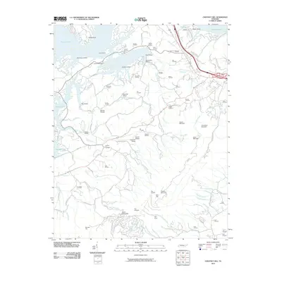 2010 Chestnut Hill2010 Print · USGSChestnut Hill and the surrounding Cocke County highlands are captured here in 2010, featuring a landscape defined by the waters of Douglas Lake. Researchers can trace dozens of family burial sites, including the Old Holt Cemetery, Chestnut Hill Cemetery, and Burchfield Cemetery.
 - 2010 Map of Pigeon Forge, 2010 Print
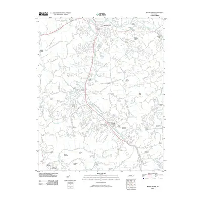 2010 Pigeon Forge2010 Print · USGSSevierville and Pigeon Forge are shown during a period of significant valley growth along the Little Pigeon River. Researchers can trace family sites at Shiloh Memorial Cemetery, find old river crossings like Large Ford, and locate landmarks such as Hodsdon Bridge.
 - 2010 Map of Boyds Creek, 2010 Print
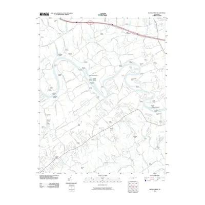 2010 Boyds Creek2010 Print · USGSThe French Broad River valley in the early twenty-first century reveals a landscape shaped by its winding water and deep-rooted family history. Researchers can locate historic river crossings at Huffaker Ferry and several legacy burial sites like the Trundles Crossroads Cemetery and Boyds Creek Cemetery.
 - 2010 Map of Walden Creek, 2010 Print
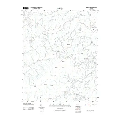 2010 Walden Creek2010 Print · USGSThe foothills near Pigeon Forge are captured here in the early twenty-first century, showcasing a landscape of winding creek hollows and ridges. Researchers can locate numerous historic burial sites like Zion Hill Cemetery and Waldens Creek Cemetery or trace landmarks such as House Mountain.
 - 2010 Map of Douglas Dam, 2010 Print
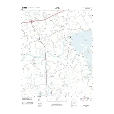 2010 Douglas Dam2010 Print · USGSSevier County during the early twenty-first century shows a landscape shaped by the Tennessee Valley Authority and long-standing family settlements. Genealogists and local historians can trace ancestral sites at Henrys Crossroads and Beech Springs while mapping the reservoir shoreline near Douglas Dam.
 - 2010 Map of Richardson Cove, 2010 Print
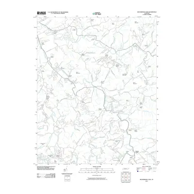 2010 Richardson Cove2010 Print · USGSSevier County's highland communities and deep coves are recorded here as they appeared in the early 21st century. Researchers can locate numerous family burial sites and historical landmarks, from the Harrisburg Covered Bridge to the East Fork Mine and Pittman Center.
 - 2010 Map of Jones Cove, 2010 Print
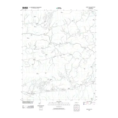 2010 Jones Cove2010 Print · USGSSevier County in the early twenty-first century remains a landscape of high ridges and family legacies. Genealogists and local historians can trace ancestral sites across several burial grounds, from the Breeden-Rolen Cemetery to Hartsell Cemetery near Middle Creek.
 - 2010 Map of Gatlinburg, 2010 Print
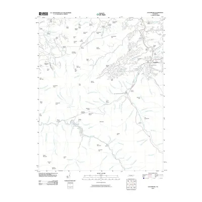 2010 Gatlinburg2010 Print · USGSGatlinburg and the surrounding ridges of the Great Smoky Mountains are captured here during a period of modern tourism and deep-rooted local history. Genealogists and researchers can trace family-named sites and cemeteries such as White Oak Flats Cemetery, Elkmont Cemetery, and the Ownby Cemetery.
 - 2010 Map of Shooks Gap, 2010 Print
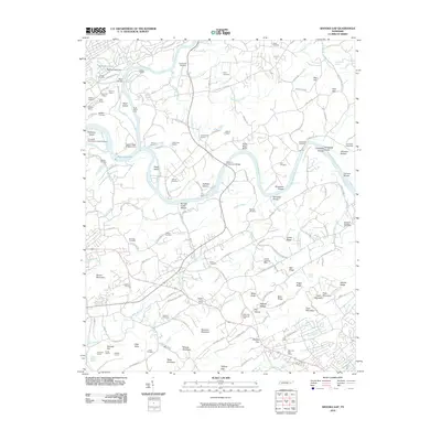 2010 Shooks Gap2010 Print · USGSSoutheast of Knoxville in the early 2000s, the convergence of the French Broad and Holston rivers defines a landscape of heavy industry and quiet community roots. Trace the locations of historic burial grounds like McNutt Cemetery or follow the industrial footprint of the Gray Knox Quarry and Tadpole Quarry.
 - 2010 Map of Wildwood, 2010 Print
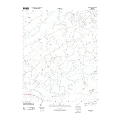 2010 Wildwood2010 Print · USGSBlount County at the turn of the decade reveals a landscape of deep-rooted family history and rising mountain ridges. Genealogists can trace local lineages through Eusebia Cemetery, Logans Chapel Cemetery, and the historic Davis Ford crossing.
 - 2010 Map of Shady Grove, 2010 Print
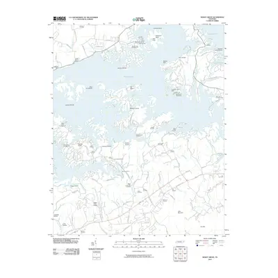 2010 Shady Grove2010 Print · USGSJefferson County’s shoreline along Douglas Lake is documented here in the early twenty-first century as recreation and residential life settle into the hills. Researchers can trace family history through a high density of sites like Fair Garden Cemetery, Old Egypt, and Hills Union Cemetery.
 - 2010 Map of New Market, 2010 Print
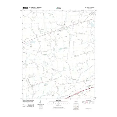 2010 New Market2010 Print · USGSThe community of New Market and the surrounding Tennessee hills are captured here just after the turn of the millennium. Researchers can trace the region's industrial and family ties through the North Friends Station Mine, French Mill, and McBee Cemetery.
 - 2010 Map of Mount Guyot, 2010 Print
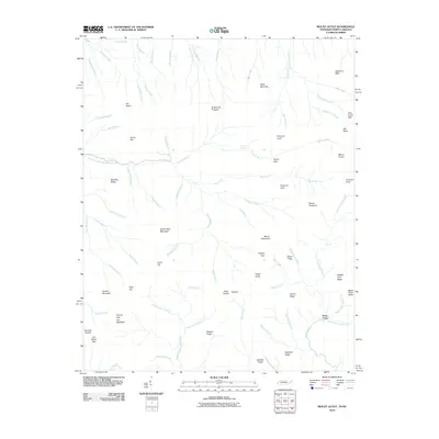 2010 Mount Guyot2010 Print · USGSThe high peaks of the Great Smoky Mountains dominate the Tennessee and North Carolina border in the early twenty-first century. Researchers can trace the source waters of the Middle Prong Little Pigeon River and locate remote landmarks like Pecks Corner and Ramsey Cascades.
 - 2010 Map of Mount Le Conte, 2010 Print
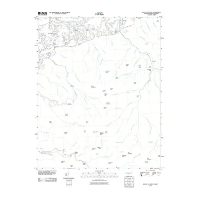 2010 Mount Le Conte2010 Print · USGSThe Great Smoky Mountains high country comes into focus in this late-era survey, detailing the rugged geography around Mount Le Conte. Researchers can trace family history through numerous remote burial sites like Proffitt Cemetery, Bales Cemetery, and Frazier Cemetery.
 - 2010 Map of Thunderhead Mountain, 2010 Print
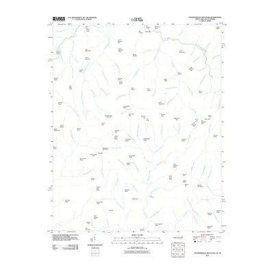 2010 Thunderhead Mountain2010 Print · USGSHigh ridges and deep coves define the Tennessee-North Carolina borderlands in the early twenty-first century. Researchers can locate remote burial sites at Bone Valley Cemetery or trace historic high-country routes through Spence Field and Hickory Tree Gap.
 - 2010 Map of Kuwohi, 2010 Print
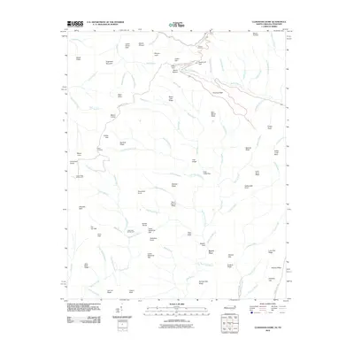 2010 Kuwohi2010 Print · USGSThe high peaks of the Great Smoky Mountains are captured here in the early twenty-first century, spanning the border between North Carolina and Tennessee. Hikers and historians can trace the paths to Bryson Place, find the Mount Collins Shelter, or locate scenic vantages like Morton Overlook.
 - 2010 Map of Silers Bald, 2010 Print
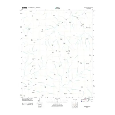 2010 Silers Bald2010 Print · USGSThe high ridges of the Great Smoky Mountains are captured here in the early twenty-first century. Researchers can trace remote landmarks and hydrology along the state line, from the Silers Bald Shelter to the distinctive Mellinger Death Ridge and the Ben Parton Lookout.
 - 2013 Map of New Market, 2013 Print
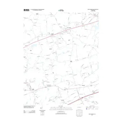 2013 New Market2013 Print · USGSNew Market and the surrounding Tennessee valleys are captured here in the early twenty-first century, showing a landscape of deep-rooted settlements and family farms. Local historians can trace family names and historic sites from Friends Station to the French Mill and Wooten Chapel Cem.
Showing maps 1-25 of 100
Top cities of Sevier County
- Sevierville historical maps
- Pigeon Forge historical maps
- Gatlinburg historical maps
- Pittman Center historical maps
Frequently asked questions
- What are the different types of historical maps available for Sevier County?
- What is the oldest map of Sevier County?
- Where can I purchase historical maps of Sevier County for my home or office?
- Where can I download high-res historical maps of Sevier County?
- Are there historical topographic maps available for Sevier County?
- Is there historical aerial imagery available for Sevier County?
- Where are historical maps of Sevier County sourced from?