2020s Maps of Sevier County, Tennessee
Explore 19 historic maps of Sevier County from the 2020s. These maps offer a rare glimpse into what life looked like during the 2020s — showing old roads, neighborhoods, homes, and landmarks that have changed or disappeared over time.
Whether you're researching your family's past, planning a metal detecting trip, or studying how Sevier County's landscape evolved across the 2020s, these high-resolution maps are a powerful tool for exploring the history of this region.
- Focus on a specific era: All maps on this page are from the 2020s, giving you a focused view of this time period.
- See what’s changed: Compare century-old streets, trails, and buildings to today's modern landscape using overlays and satellite layers.
- Research with precision: Use these maps for genealogy, historical research, land use analysis, or educational projects.
- View, download, or print: Maps are fully viewable online in high resolution, and can be downloaded or printed for your own records.
Start exploring Sevier County's history through authentic maps from the 2020s. This is your window into the past.
Sevier County, TN maps
(19)- 2022 Map of Richardson Cove, 2022 Print
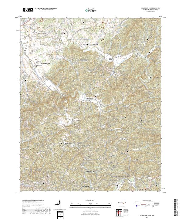 2022 Richardson Cove2022 Print · USGSSevier County communities and mountain gaps are mapped in detail here as the modern era meets the edge of the national forest. Researchers can trace family history through dozens of rural landmarks, including Catons Chapel Cemetery, Richardson Cove, and the Marion Green Cemetery.
 - 2022 Map of Wildwood, 2022 Print
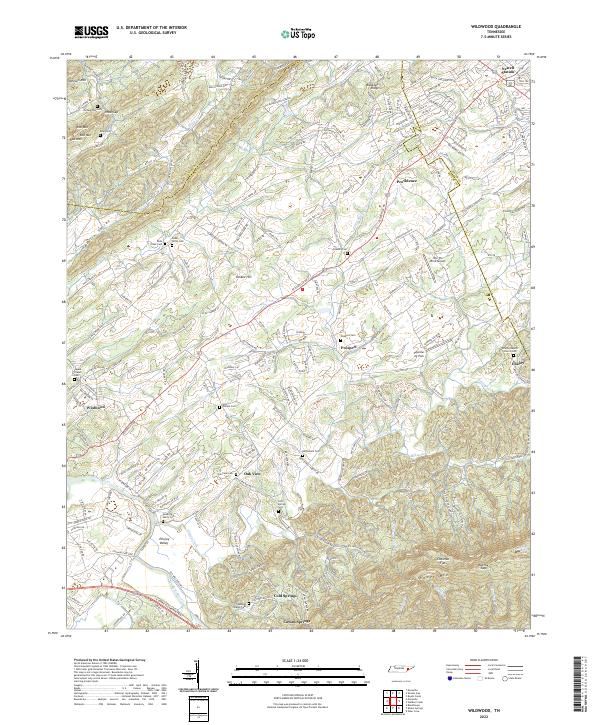 2022 Wildwood2022 Print · USGSBlount County, Tennessee, is captured here in its modern rural character, from the slopes of Chilhowee Mtn to the winding Ellejoy Creek. Researchers can locate family landmarks like McCammon Cem and tracing the early settlements of Wildwood and Ellejoy.
 - 2022 Map of Walden Creek, 2022 Print
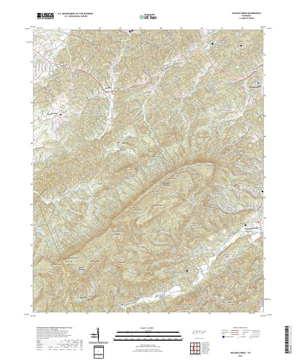 2022 Walden Creek2022 Print · USGSThe foothills of the Smokies in the early 2020s are captured here, showing the enduring rural character of Sevier County. Genealogists can locate family names at Waldens Creek Cem, Chinquapin Cem, and the community surrounding Cusick.
 - 2022 Map of Mount Guyot, 2022 Print
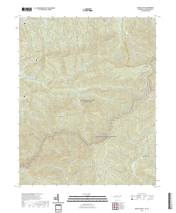 2022 Mount Guyot2022 Print · USGSThe Tennessee and North Carolina borderlands come into focus in this recent survey of the Great Smoky Mountains. Genealogists can locate several remote family burial sites like Huff Cemetery and Green Cemetery near historic paths such as the Old Settlers Trail.
 - 2022 Map of Shooks Gap, 2022 Print
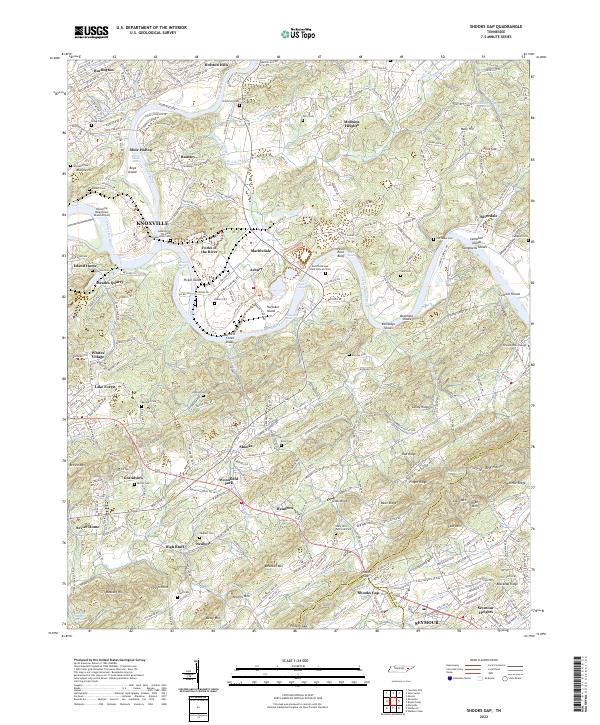 2022 Shooks Gap2022 Print · USGSKnoxville and its southern rural outskirts are shown at a period of modern growth and historical preservation along the Tennessee River. Researchers can trace family sites at Lebanon In The Fork Presbyterian Cem, the industrial grounds of Meades Quarry, and the namesake Shooks Gap.
 - 2022 Map of Silers Bald, 2022 Print
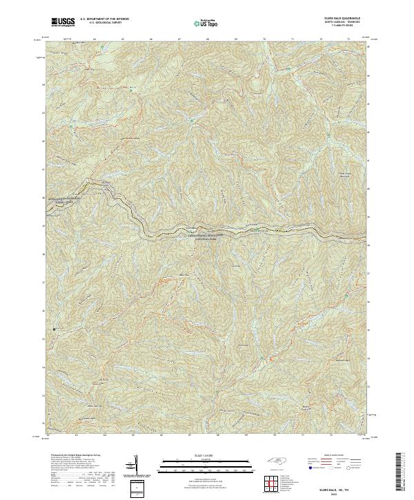 2022 Silers Bald2022 Print · USGSThe high ridges of the Great Smokies are captured here in the early twenty-first century, spanning the border of Swain County and Sevier County. Researchers can trace the path of the Appalachian Trail through The Narrows or locate the Wike Cemetery near Hazel Creek.
 - 2022 Map of Thunderhead Mountain, 2022 Print
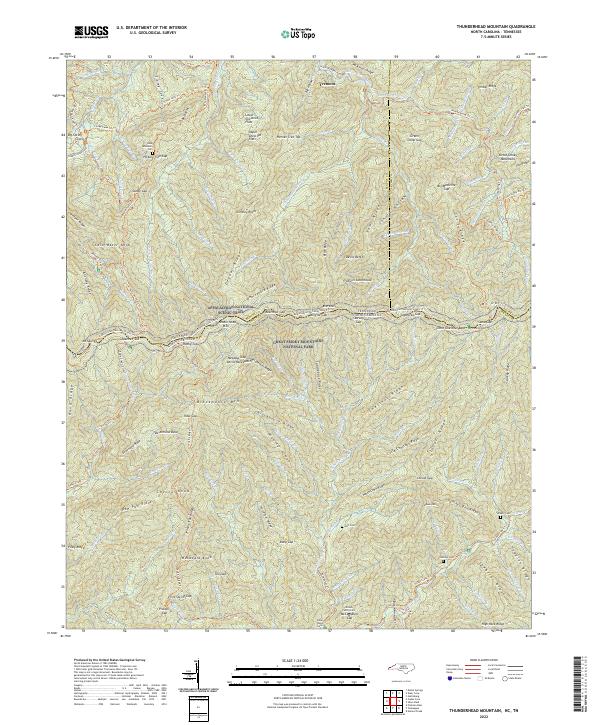 2022 Thunderhead Mountain2022 Print · USGSSwain County's high-country terrain is captured in this contemporary survey of the North Carolina and Tennessee borderlands. Genealogists and hikers can trace the paths of Binkroot Br and Laurel Cr near the settlement of Tremont.
 - 2022 Map of Kuwohi, 2022 Print
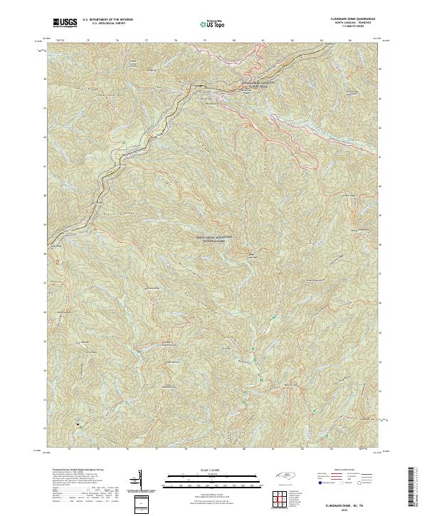 2022 Kuwohi2022 Print · USGSThe high ridgelines of the Smokies are captured here along the state line in the early twenty-first century. Researchers can trace historic access points like Newfound Gap and Jerry Flats Cem or follow the path of the Appalachian National Scenic Trl.
 - 2022 Map of Mascot, 2022 Print
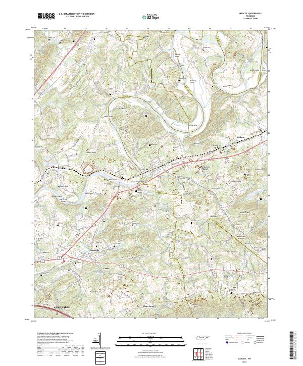 2022 Mascot2022 Print · USGSEastern Tennessee's river-driven landscape is captured here in the early twenty-first century, centered on the winding Holston River and its many islands. Researchers can trace historic family connections through McBee Cem, explore the area around Strawberry Plains, or locate the site of Carter Mill.
 - 2022 Map of Pigeon Forge, 2022 Print
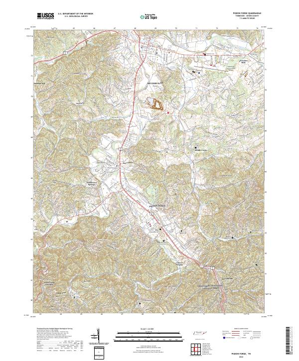 2022 Pigeon Forge2022 Print · USGSSevier County’s heartland comes into focus during this modern era, showing the growing corridor between Sevierville and Pigeon Forge. Researchers can trace generations of local history through dozens of landmarks like McMahan Cem, Middle Creek Cem, and the Sevier County Courthouse.
 - 2022 Map of Wear Cove, 2022 Print
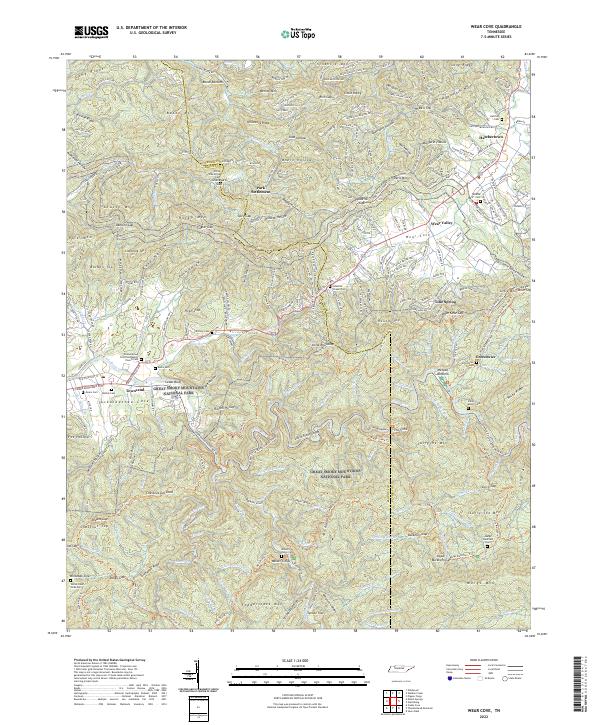 2022 Wear Cove2022 Print · USGSThe foothills of the Smokies in the early 2020s reveal a landscape where mountain communities and protected wilderness meet. Researchers can locate numerous historic burial sites like Brickey Cem and Little Brier Cem or trace the winding course of Waldens Cr.
 - 2022 Map of Shady Grove, 2022 Print
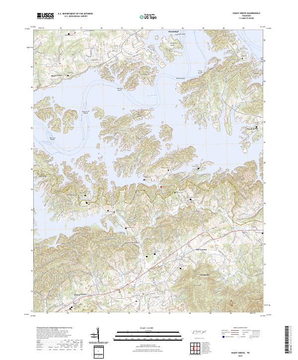 2022 Shady Grove2022 Print · USGSJefferson and Sevier counties meet along the convoluted shores of Douglas Lake in this contemporary topographic record. Genealogists can locate family burial sites at Patterson Cem or Swann Cem and trace old roads through Fair Garden and Old Egypt.
 - 2022 Map of New Market, 2022 Print
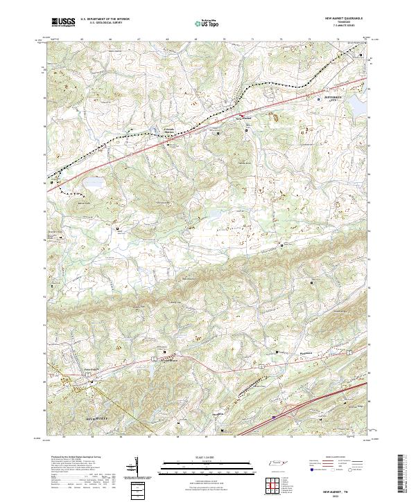 2022 New Market2022 Print · USGSJefferson and Sevier counties are shown here in modern detail, where ridge-and-valley terrain shapes the historic settlements of New Market and Friends Station. Researchers can trace family roots through numerous local sites like McCampbells Chapel Cem and Piedmont.
 - 2022 Map of Gatlinburg, 2022 Print
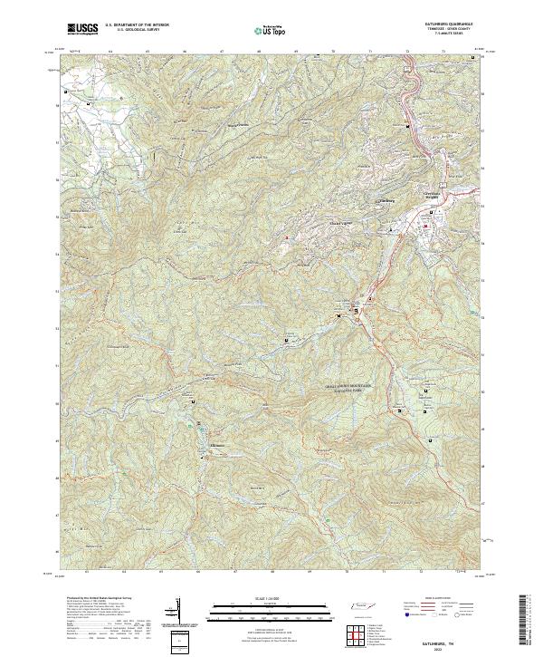 2022 Gatlinburg2022 Print · USGSGatlinburg and the high ridges of the Smokies appear in this modern survey, capturing the gateway to the national park. Genealogists can locate family burial grounds including the Old Sugarlands Cem, Levi Trentham Cem, and Vance Newman Cem.
 - 2022 Map of Douglas Dam, 2022 Print
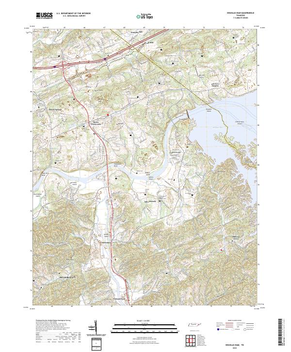 2022 Douglas Dam2022 Print · USGSSevier and Jefferson Counties come together at the junction of the French Broad and Little Pigeon Rivers in the early 2020s. Genealogists can trace family landmarks like Henry Crossroads, Millican Grove, and the Alder Branch Baptist Church Cem.
 - 2022 Map of Boyds Creek, 2022 Print
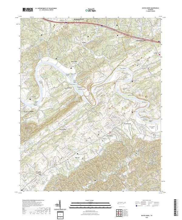 2022 Boyds Creek2022 Print · USGSThe French Broad River valley in East Tennessee remains a landscape of deep-rooted family history and winding waterways. Researchers can trace numerous ancestral sites like the Trundle Family Cemetery, Peters Mill, and the many islands of Seven Islands.
 - 2022 Map of Mount Le Conte, 2022 Print
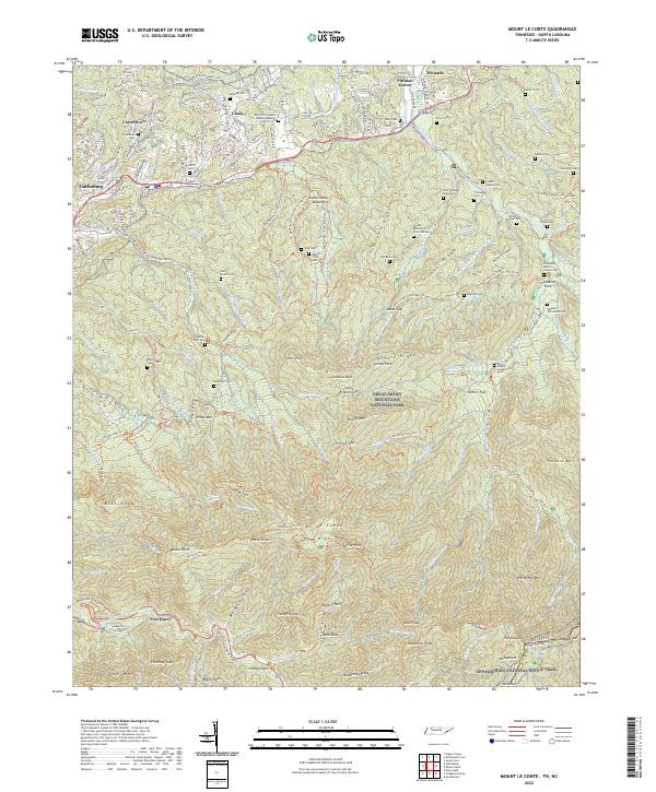 2022 Mount Le Conte2022 Print · USGSGatlinburg and the high peaks of the Smokies are captured here during the early twenty-first century. Family history researchers can locate numerous remote burial sites like Nations Child Cem and Mellinger Cem or trace the early paths of the Old Sugarlands Trl.
 - 2022 Map of Jones Cove, 2022 Print
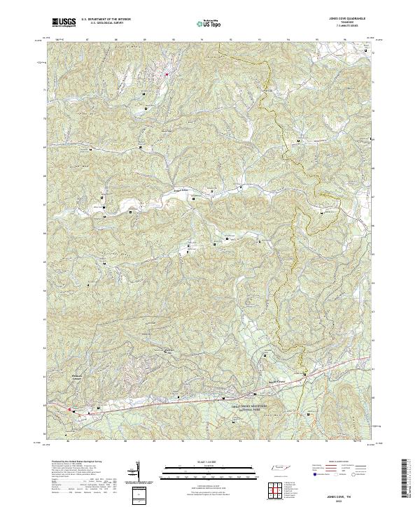 2022 Jones Cove2022 Print · USGSIn the foothills of the Great Smokies, this modern Tennessee survey shows the landscape of the early twenty-first century. Genealogists can trace family heritage through dozens of local burial sites like Williams Cem, Stinnett Cem, and Maddrron Cem.
 - 2022 Map of Chestnut Hill, 2022 Print
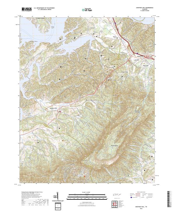 2022 Chestnut Hill2022 Print · USGSThe foothills and ridges of East Tennessee come alive in this detailed look at the area between Douglas Lake and English Mountain. Genealogists can trace family heritage through dozens of local sites like Bridges Chapel Cem, Webb Cem, and the community at Chestnut Hill.
End of results
Showing maps 1-19 of 19
Top cities of Sevier County
- Sevierville historical maps
- Pigeon Forge historical maps
- Gatlinburg historical maps
- Pittman Center historical maps
Frequently asked questions
- What are the different types of historical maps available for Sevier County?
- What is the oldest map of Sevier County?
- Where can I purchase historical maps of Sevier County for my home or office?
- Where can I download high-res historical maps of Sevier County?
- Are there historical topographic maps available for Sevier County?
- Is there historical aerial imagery available for Sevier County?
- Where are historical maps of Sevier County sourced from?