1960s Maps of Sevier County, Tennessee
Explore 15 historic maps of Sevier County from the 1960s. These maps offer a rare glimpse into what life looked like during the 1960s — showing old roads, neighborhoods, homes, and landmarks that have changed or disappeared over time.
Whether you're researching your family's past, planning a metal detecting trip, or studying how Sevier County's landscape evolved across the 1960s, these high-resolution maps are a powerful tool for exploring the history of this region.
- Focus on a specific era: All maps on this page are from the 1960s, giving you a focused view of this time period.
- See what’s changed: Compare century-old streets, trails, and buildings to today's modern landscape using overlays and satellite layers.
- Research with precision: Use these maps for genealogy, historical research, land use analysis, or educational projects.
- View, download, or print: Maps are fully viewable online in high resolution, and can be downloaded or printed for your own records.
Start exploring Sevier County's history through authentic maps from the 1960s. This is your window into the past.
Sevier County, TN maps
(15)- 1960 Map of Knoxville
 1960 Knoxville1960 Print · USGSThe Southern Appalachians come alive in the 1950s, showing the intersection of new national park tourism and deep-rooted mountain industry. Trace old rail lines like the Clinchfield RR and find high-altitude landmarks from Mt Le Conte to the Cherokee Indian Reservation.2 unique versions available
 - 1960 Map of Johnson City
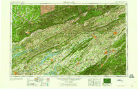 1960 Johnson City1960 Print · USGSUpper East Tennessee and the surrounding tri-state area are shown in the mid-fifties during the height of the TVA reservoir era. Trace the industrial rail lines of the Southern and Louisville and Nashville between Kingsport and Johnson City.
 - 1961 Map of Douglas Dam, 1963 Print
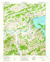 1961 Douglas Dam1963 Print · USGSThe French Broad and Little Pigeon Rivers converge in this 1960s portrait of Sevier County. Trace family history at Atchley Cem, locate the old Kodak (PO), and see the engineering of Douglas Dam and its ten saddle dams.4 unique versions available
 - 1961 Map of Shady Grove, 1963 Print
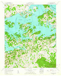 1961 Shady Grove1963 Print · USGSDouglas Lake and its winding shoreline define this 1960s landscape along the border of Jefferson and Sevier Counties. Genealogists and local historians can trace legacy landmarks like Derrick Cemetery, Hills Union Ch, and New Center School.2 unique versions available
 - 1961 Map of New Market, 1963 Print
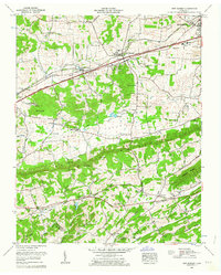 1961 New Market1963 Print · USGSJefferson County in the early sixties was a landscape of deep-rooted settlements and active industry. Genealogists can locate family landmarks such as French Mill, Wooten Chapel, and numerous cemeteries including Loy Memorial Cem and Piedmont Cem.3 unique versions available
 - 1961 Map of Chestnut Hill, 1964 Print
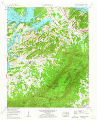 1961 Chestnut Hill1964 Print · USGSThe foothills of the Smokies in the early sixties are defined here by the rise of English Mountain above the French Broad River. Genealogists and historians can trace numerous family-named landmarks and rural hubs, from Blowing Cave Mill to Dickey School Ch and Reidtown.3 unique versions available
 - 1963 Map of Johnson City
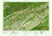 1963 Johnson City1963 Print · USGSThe Tri-Cities and the surrounding Appalachian ridges are shown in detail during the early sixties, highlighting the era's vital rail and river networks. Genealogists and historians can trace the routes of the Clinchfield RR and locate settlements from Rogersville to Elizabethton.
 - 1964 Map of Silers Bald
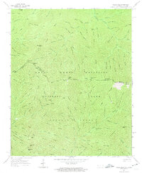 1964 Silers Bald1964 Print · USGSThe high crest of the Smokies is captured in the mid-1960s, showing the state line wilderness before modern trail restrictions. Trace the Appalachian Trail across Silers Bald and Mt Buckley, or locate remote points like Monteith Camp and Double Spring Gap.3 unique versions available
 - 1964 Map of Knoxville
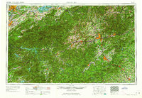 1964 Knoxville1964 Print · USGSThe Southern Appalachians and Great Smokies are captured here during the mid-sixties, showing the rugged borderlands of Tennessee and North Carolina. Researchers can trace historic mountain routes like U S 441, the expanse of Pisgah National Forest, and the growing footprints of Asheville and Knoxville.
 - 1964 Map of Clingmans Dome, 1966 Print
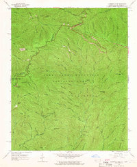 1964 Clingmans Dome1966 Print · USGSThe high ridges of the Great Smokies are captured here in the mid-1960s, documenting the border between North Carolina and Tennessee. Researchers can trace the original Appalachian Trail route or find historic sites like the Old Railroad Grade and Indian Gap.3 unique versions available
 - 1964 Map of Mount Guyot, 1966 Print
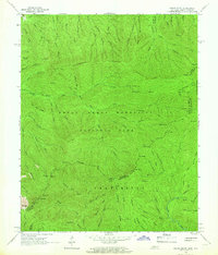 1964 Mount Guyot1966 Print · USGSThe high peaks of the Great Smoky Mountains are captured here in the mid-1960s, tracing the state line from Tennessee into North Carolina. Hikers and historians can follow the Appalachian Trail past legendary landmarks like Charles Bunion, Mount Guyot, and the Lookout Tower near the Pinnacle.2 unique versions available
 - 1964 Map of Mount Le Conte, 1966 Print
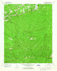 1964 Mount Le Conte1966 Print · USGSGatlinburg and the high peaks of the Smokies are captured here in the mid-sixties as the region evolved from a mountain community into a national park hub. Genealogists and hikers can trace family landmarks like the Alfred Reagan Place and Proffitt Cem alongside the Appalachian Trail and Le Conte Lodge.4 unique versions available
 - 1964 Map of Thunderhead Mtn, 1966 Print
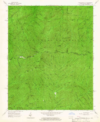 1964 Thunderhead Mtn1966 Print · USGSThe high ridges of the Great Smoky Mountains were surveyed here in the mid-sixties, tracing the state line along the crest. Hikers and historians can locate the Appalachian Trail and backcountry landmarks like Hall Cabin Ruins, Spence Field Shelter, and the former site of Tremont.2 unique versions available
 - 1966 Map of Mascot, 1968 Print
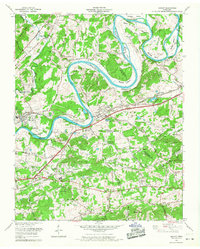 1966 Mascot1968 Print · USGSEast Tennessee's river bends and rail lines are captured here in the mid-1960s as industrial and rural life centered on the Holston River. Genealogists can trace family names through dozens of sites like Walker Cem, Wyricktown, and the Zinc Mine at Mascot.4 unique versions available
 - 1966 Map of Shooks Gap, 1968 Print
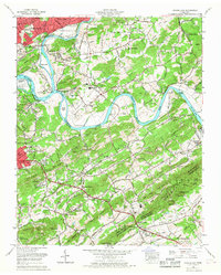 1966 Shooks Gap1968 Print · USGSSoutheast of Knoxville in the mid-sixties, the river valley landscape shows a mix of industrial quarrying and suburban growth. Genealogists can trace family connections at Hendron Chapel, Asbury Cem, and schools like Mountain View School.
End of results
Showing maps 1-15 of 15
Top cities of Sevier County
- Sevierville historical maps
- Pigeon Forge historical maps
- Gatlinburg historical maps
- Pittman Center historical maps
Frequently asked questions
- What are the different types of historical maps available for Sevier County?
- What is the oldest map of Sevier County?
- Where can I purchase historical maps of Sevier County for my home or office?
- Where can I download high-res historical maps of Sevier County?
- Are there historical topographic maps available for Sevier County?
- Is there historical aerial imagery available for Sevier County?
- Where are historical maps of Sevier County sourced from?