2020s Maps of Stewart County, Tennessee
Explore 19 historic maps of Stewart County from the 2020s. These maps offer a rare glimpse into what life looked like during the 2020s — showing old roads, neighborhoods, homes, and landmarks that have changed or disappeared over time.
Whether you're researching your family's past, planning a metal detecting trip, or studying how Stewart County's landscape evolved across the 2020s, these high-resolution maps are a powerful tool for exploring the history of this region.
- Focus on a specific era: All maps on this page are from the 2020s, giving you a focused view of this time period.
- See what’s changed: Compare century-old streets, trails, and buildings to today's modern landscape using overlays and satellite layers.
- Research with precision: Use these maps for genealogy, historical research, land use analysis, or educational projects.
- View, download, or print: Maps are fully viewable online in high resolution, and can be downloaded or printed for your own records.
Start exploring Stewart County's history through authentic maps from the 2020s. This is your window into the past.
Stewart County, TN maps
(19)- 2022 Map of Ellis Mills, 2022 Print
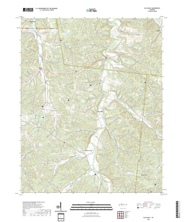 2022 Ellis Mills2022 Print · USGSThe rural borderlands where Houston, Montgomery, and Dickson counties meet are captured here in the early twenty-first century. Researchers can trace numerous family burial sites such as Bibbs - Wimberly Cem and Lyle Cem tucked away near Ellis Mills.
 - 2022 Map of Indian Mound, 2022 Print
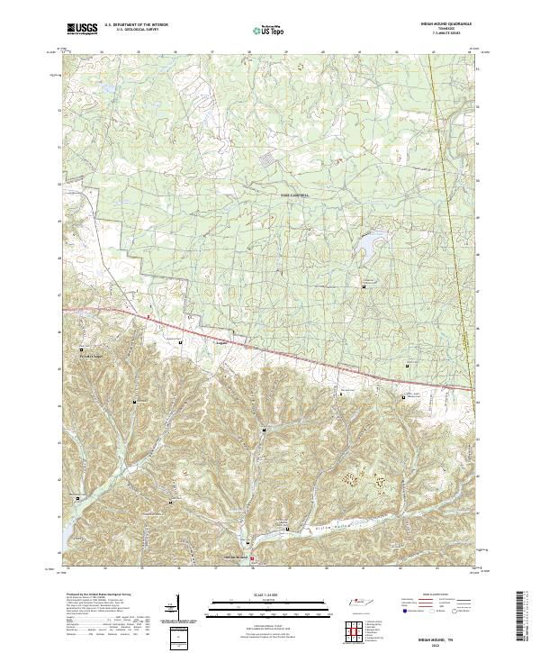 2022 Indian Mound2022 Print · USGSThe rural ridges of Stewart and Montgomery County appear here in the early twenty-first century. Genealogists can trace family landmarks and burial sites across a complex landscape of hollows, including Wyatts Chapel, the Smith-Austin-Wallace Cem, and Indian Mound.
 - 2022 Map of Erin, 2022 Print
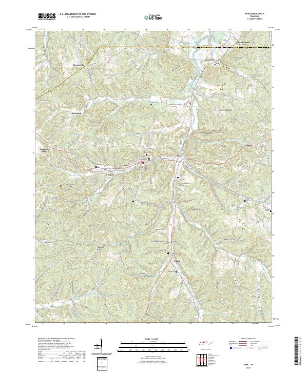 2022 Erin2022 Print · USGSThe steep valleys of Houston County are captured here in the early twenty-first century, centered on the community of Erin. Researchers can locate family landmarks like Alsobrooks Cem, Bratschi Cem, and the Houston County Courthouse.
 - 2022 Map of Standing Rock, 2022 Print
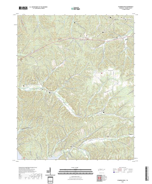 2022 Standing Rock2022 Print · USGSStewart County's river-carved landscape is shown here in the 2020s, featuring the ridges and hollows that define this corner of Tennessee. Researchers can locate many family burial sites like Cole Cem and Leatherwood Cem or trace the drainage of Standing Rock Cr to the shore of Kentucky Lake.
 - 2022 Map of Woodlawn, 2022 Print
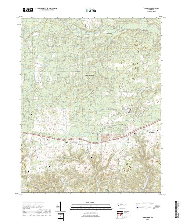 2022 Woodlawn2022 Print · USGSThe rural landscapes of Montgomery and Stewart counties are documented here in the early 2020s, showing a mix of historic settlements and modern infrastructure. Genealogists can locate family landmarks like Harrison Cem or Casey Cem and trace the winding waters of Fletchers Fork.
 - 2022 Map of Stewart, 2022 Print
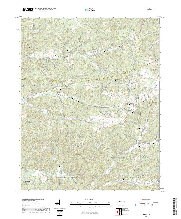 2022 Stewart2022 Print · USGSThe Stewart and Houston County line comes alive in this contemporary record of Tennessee’s hollows and ridges. Researchers can trace family origins through numerous burial sites like Barnes Cem and Beecham Cem or locate old community nodes at Grays Crossing and Stewart.
 - 2022 Map of Needmore, 2022 Print
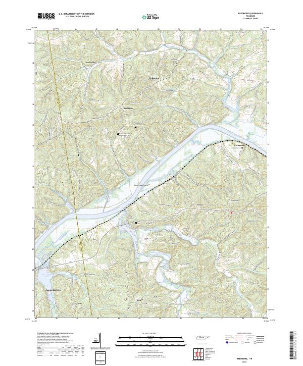 2022 Needmore2022 Print · USGSThe Cumberland River winding through Montgomery County defines this rural Tennessee landscape as it appeared in the early twenty-first century. Researchers can trace ancestral sites at the Evergreen Missionary Baptist Church Cem, the settlement of Needmore, and landmarks like Yellow Creek Tow Head.
 - 2022 Map of Tharpe, 2022 Print
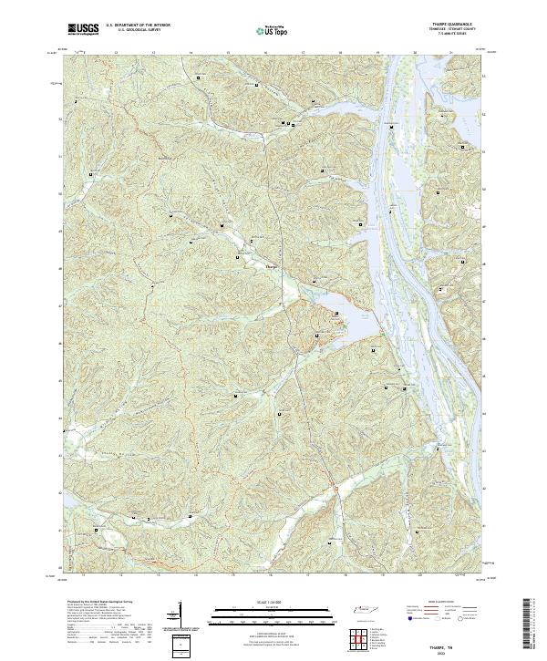 2022 Tharpe2022 Print · USGSStewart County's river-carved landscape is documented here in the early twenty-first century, showing the intersection of Lake Barkley and the Tennessee hills. Genealogists can trace family names at numerous sites like Legate Cem, Bufford Cem, and Nolan Cem.
 - 2022 Map of Dover, 2022 Print
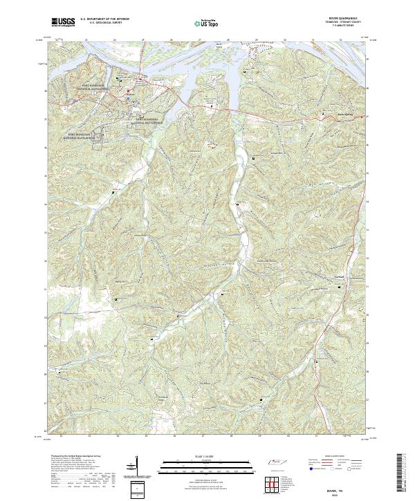 2022 Dover2022 Print · USGSThe Tennessee river country near Dover comes into focus on this 2022 sheet, showcasing the intersection of Civil War history and modern conservation. Researchers can trace family history through numerous burial grounds like Brigham Cem and Byrd Cem or explore the wooded ridges of Fort Donelson National Battlefield.
 - 2022 Map of Bumpus Mills, 2022 Print
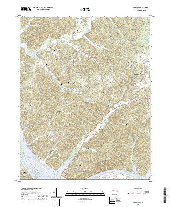 2022 Bumpus Mills2022 Print · USGSStewart County, Tennessee, is mapped here in its modern context, showing a landscape defined by its river history and deep family ties. Researchers can trace numerous family burial grounds including Crow Cem, Balls Cem, and Lottie Wallace Cem across the ridges of Bumpus Mills.
 - 2022 Map of Cumberland City, 2022 Print
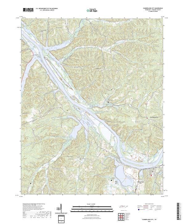 2022 Cumberland City2022 Print · USGSThe Cumberland River loops through Stewart County on this modern survey, highlighting the expansive Lake Barkley and Cumberland City. Researchers can locate several family cemeteries such as John Brake Cem and Graveyard Hill Cem, plus the settlement of Throckmorton.
 - 2022 Map of McKinnon, 2022 Print
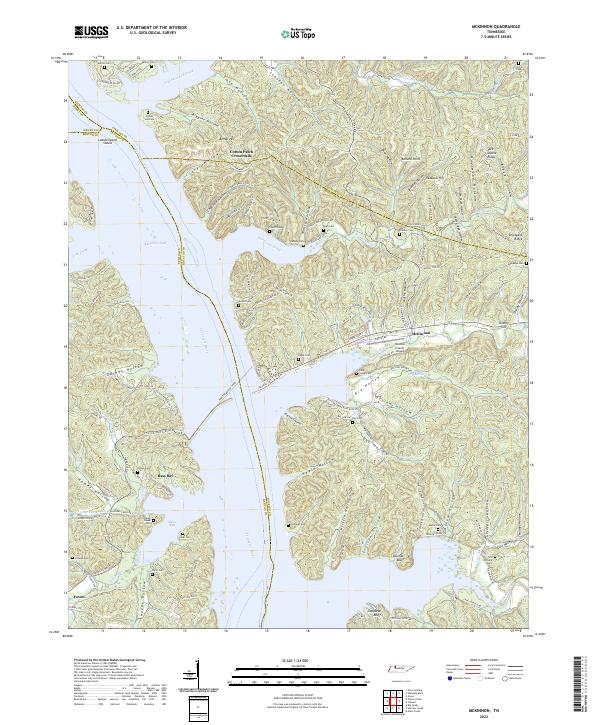 2022 McKinnon2022 Print · USGSThe Tennessee River and Kentucky Lake shoreline are captured here in the early 2020s, revealing a landscape of deep hollows and active ferry crossings. Researchers can trace family names at Martin Cem and Askew Cem or locate the historic crossing at Houston-Benton Ferry.
 - 2022 Map of Paris Landing, 2022 Print
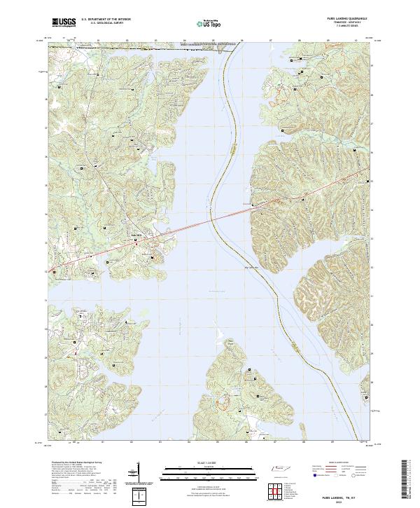 2022 Paris Landing2022 Print · USGSThe Tennessee and Big Sandy rivers meet at the state line in this recent study of Henry and Stewart counties. Genealogists can trace family names through dozens of burial sites like Saint Mary's Cem, Parker-Presnell Cem, and Taylor Cem.
 - 2022 Map of Rushing Bay, 2022 Print
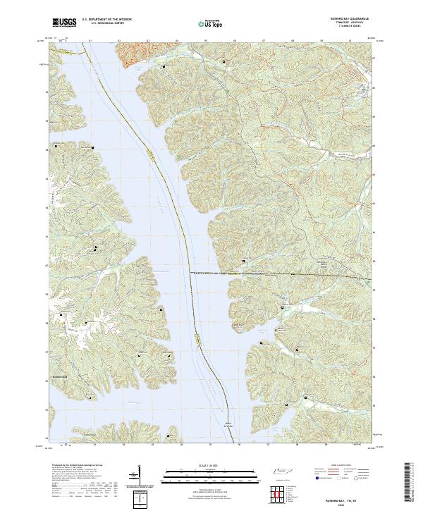 2022 Rushing Bay2022 Print · USGSThe Tennessee and Kentucky borderlands along Kentucky Lake are shown here in modern detail. Genealogists can trace family sites like Hooper Cemetery and Banner Cemetery alongside historical landmarks like Cedar Bluff and Blood River Bar.
 - 2022 Map of Poplar Creek, 2022 Print
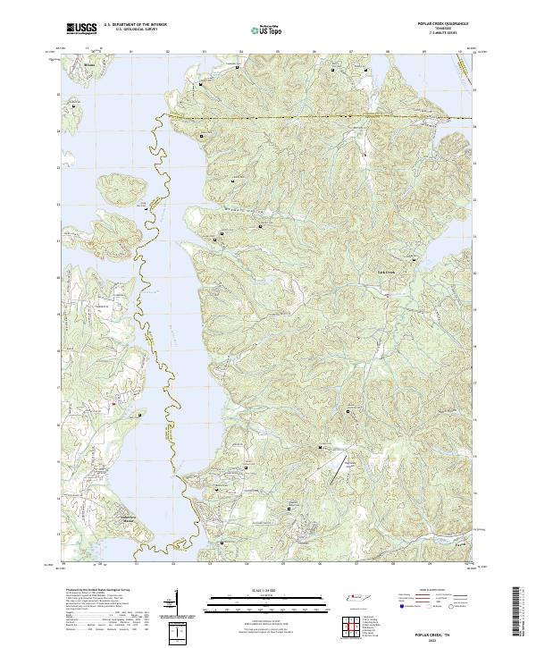 2022 Poplar Creek2022 Print · USGSBenton and Henry counties come alive in the early 2020s as the Big Sandy River meets Kentucky Lake. Genealogists can locate numerous family burial sites such as Beaton Cem and Liberty Cem, or trace the rural roads leading to Faxon.
 - 2022 Map of Hamlin, 2022 Print
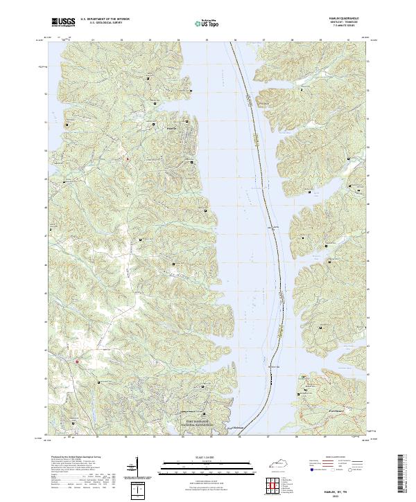 2022 Hamlin2022 Print · USGSThe Kentucky and Tennessee borderlands meet here along the shores of Kentucky Lake. Genealogists can trace family names through dozens of sites like McCuiston Cem and Brigham Cem near the Fort Donelson National Battlefield.
 - 2022 Map of Johnson Hollow, 2022 Print
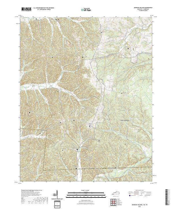 2022 Johnson Hollow2022 Print · USGSSpanning the Kentucky and Tennessee border in the 2020s, this survey documents a high density of family cemeteries and rural hollows. Genealogists can trace family landmarks like James Thomas Cem, McKinney Cem, and the settlement at Cheatam Hollow.
 - 2022 Map of Roaring Spring, 2022 Print
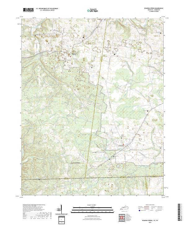 2022 Roaring Spring2022 Print · USGSNear the Kentucky-Tennessee border, this modern topographic survey captures the crossroads communities of Roaring Spring and LaFayette. Researchers can locate numerous family burial sites like John Roach Cem and Joiner Cem along the banks of Casey Cr.
 - 2022 Map of Linton, 2022 Print
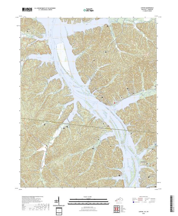 2022 Linton2022 Print · USGSThe Kentucky-Tennessee state line divides this riverside region during the early twenty-first century as Lake Barkley shapes the local geography. Genealogists can locate numerous family burial sites like Sholar-Rogers Cem and Kingins-Brandon Cem near the historic Linton settlement.
End of results
Showing maps 1-19 of 19
Top cities of Stewart County
Frequently asked questions
- What are the different types of historical maps available for Stewart County?
- What is the oldest map of Stewart County?
- Where can I purchase historical maps of Stewart County for my home or office?
- Where can I download high-res historical maps of Stewart County?
- Are there historical topographic maps available for Stewart County?
- Is there historical aerial imagery available for Stewart County?
- Where are historical maps of Stewart County sourced from?