2010s Maps of Stewart County, Tennessee
Explore 76 historic maps of Stewart County from the 2010s. These maps offer a rare glimpse into what life looked like during the 2010s — showing old roads, neighborhoods, homes, and landmarks that have changed or disappeared over time.
Whether you're researching your family's past, planning a metal detecting trip, or studying how Stewart County's landscape evolved across the 2010s, these high-resolution maps are a powerful tool for exploring the history of this region.
- Focus on a specific era: All maps on this page are from the 2010s, giving you a focused view of this time period.
- See what’s changed: Compare century-old streets, trails, and buildings to today's modern landscape using overlays and satellite layers.
- Research with precision: Use these maps for genealogy, historical research, land use analysis, or educational projects.
- View, download, or print: Maps are fully viewable online in high resolution, and can be downloaded or printed for your own records.
Start exploring Stewart County's history through authentic maps from the 2010s. This is your window into the past.
Stewart County, TN maps
(76)- 2010 Map of Stewart, 2010 Print
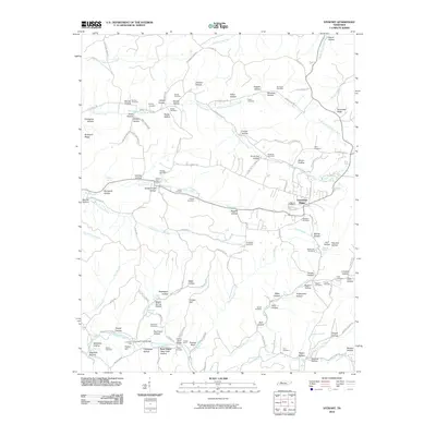 2010 Stewart2010 Print · USGSStewart County at the start of the twenty-first century is a landscape of family-named hollows and creek-side settlements. Genealogists and historians can trace lineage and local crossings at Stewart Post Office, Beecham Cemetery, and Crosswell Ford Bridge.
 - 2010 Map of Cumberland City, 2010 Print
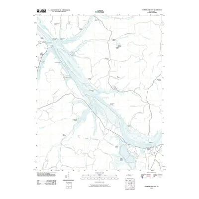 2010 Cumberland City2010 Print · USGSCumberland City and the winding Cumberland River valley are captured here at the start of the 2010s. Researchers can locate family burial sites at Haus Cemetery and Lowery Cemetery or trace the river's edge at McCartys Landing.
 - 2010 Map of Roaring Spring, 2010 Print
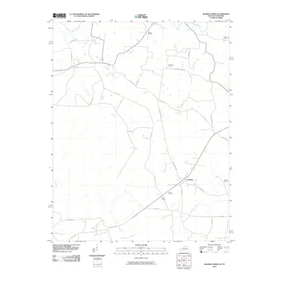 2010 Roaring Spring2010 Print · USGSLa Fayette and its rural surroundings are captured here in the early twenty-first century, showing a landscape defined by historic family burial grounds and winding creeks. Genealogists can locate sites like Elliott Cemetery or Powell Cemetery along roads like Dyers Chapel Rd.
 - 2010 Map of Bumpus Mills, 2010 Print
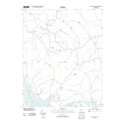 2010 Bumpus Mills2010 Print · USGSStewart County at the start of the 2010s shows a landscape deeply integrated with the waters of Lake Barkley. Researchers can trace the lineage of local families through numerous hilltop burial grounds like Taylors Chapel Cemetery and Keatts Cemetery.
 - 2010 Map of Woodlawn, 2010 Print
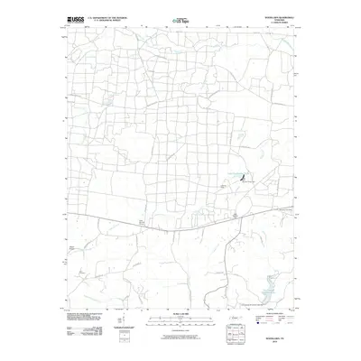 2010 Woodlawn2010 Print · USGSMontgomery County in the early twenty-first century is a landscape of creek-fed hollows and rural crossroads. Genealogists and local historians can locate Blair Cemetery or trace the development of water resources at Cunningham Broadbent Lake and Lake Site Number Three.
 - 2010 Map of Johnson Hollow, 2010 Print
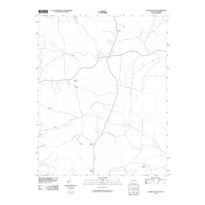 2010 Johnson Hollow2010 Print · USGSTrigg County at the start of the twenty-first century remains a landscape of deeply etched hollows and family-named cemeteries. Researchers can trace ancestral roots at sites like Skinner Cemetery or Atkins Cemetery and follow the paths of Old Dover Rd.
 - 2010 Map of Erin, 2010 Print
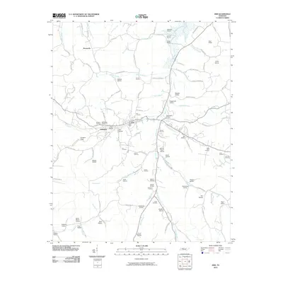 2010 Erin2010 Print · USGSHouston County at the turn of the 21st century reveals a landscape of deeply etched hollows and quiet rural settlements. Genealogists can trace family names across landmarks like Kennedy Cemetery, Arlington, and the Erin Post Office.
 - 2010 Map of Ellis Mills, 2010 Print
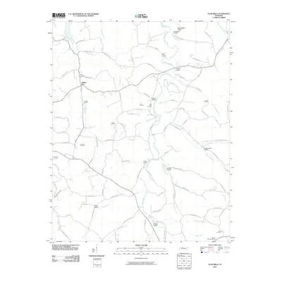 2010 Ellis Mills2010 Print · USGSThe hills of Tennessee are documented here just after the turn of the millennium, showing a landscape defined by deep hollows and family-named cemeteries. Researchers can trace ancestral locations like Adams Cemetery and the settlement at Spring Hill near Yellow Creek.
 - 2010 Map of Indian Mound, 2010 Print
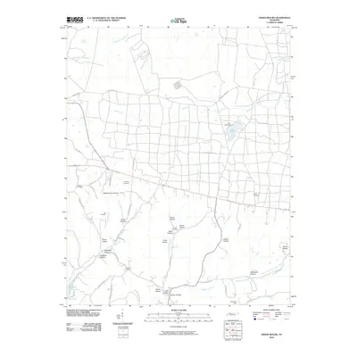 2010 Indian Mound2010 Print · USGSThe Stewart County countryside around Indian Mound is captured here in the early 21st century, showing a landscape of deep hollows and rural family homesteads. Researchers can locate numerous local burial grounds such as Joiner Cemetery and Austin Cemetery, or trace the winding course of Dicks Fork Creek.
 - 2010 Map of McKinnon, 2010 Print
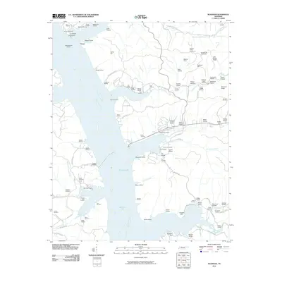 2010 McKinnon2010 Print · USGSMcKinnon and the surrounding Houston County hills are shown here as the shoreline of Kentucky Lake shaped local life. Genealogists can locate family burial sites like Hill Orchard Cemetery and Wynns Cemetery or trace the early industrial footprint of the Swamp Bank Mines.
 - 2010 Map of Needmore, 2010 Print
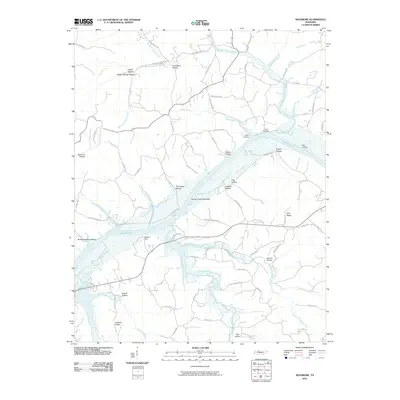 2010 Needmore2010 Print · USGSThe Cumberland River valley is captured here in the early twenty-first century, featuring the expansive waters of Lake Barkley. Local historians can trace family-named hollows and river access points like Sailors Rest, York Landing, and Gunson Ridge.
 - 2010 Map of Dover, 2010 Print
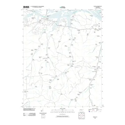 2010 Dover2010 Print · USGSThe Cumberland River valley at Dover is defined by its deep military history and early iron industry. Researchers can trace the grounds of Fort Donelson National Battlefield or locate family sites like Skunk Hollow Mines and Brigham Cemetery.
 - 2010 Map of Poplar Creek, 2010 Print
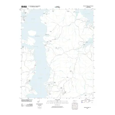 2010 Poplar Creek2010 Print · USGSKentucky Lake's intricate shoreline defines this 2010 portrait of Henry County, where waterfront resorts meet a landscape rich in family history. Genealogists can trace lineage through dozens of local sites like Mount Carmel Cemetery or locate historic river access at Iron Bridge Landing.
 - 2011 Map of Paris Landing, 2011 Print
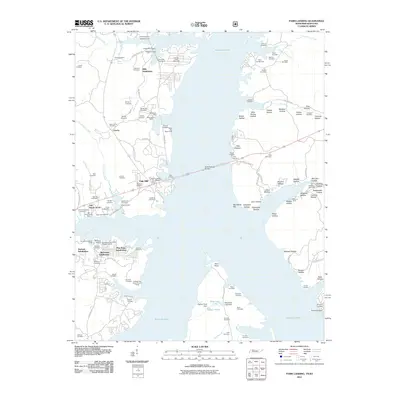 2011 Paris Landing2011 Print · USGSThe Tennessee-Kentucky border comes alive in this survey of Kentucky Lake and its evolving shoreline during the early 21st century. Researchers can trace dozens of family burial grounds like Old Moody Cemetery or locate landmarks such as the Scott Fitzhugh Bridge and Paris Landing Marina.
 - 2011 Map of Hamlin, 2011 Print
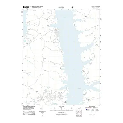 2011 Hamlin2011 Print · USGSKentucky Lake dominates this late 2000s survey of the borderlands near the site of Fort Henry. Genealogists can trace family heritage through dozens of named sites like Oak Level Cemetery, Hamlin, and the historic grounds of Fort Heiman.
 - 2011 Map of Standing Rock, 2011 Print
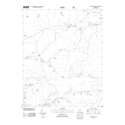 2011 Standing Rock2011 Print · USGSStewart County and the shores of Kentucky Lake are seen here at the start of the twenty-first century. Genealogists can trace family lines through numerous burial grounds like McClanahan Cemetery and locate industrial history at the Clark Furnace Mines.
 - 2011 Map of Linton, 2011 Print
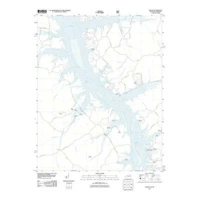 2011 Linton2011 Print · USGSLinton and the surrounding river country are shown here in the early twenty-first century as the landscape settles around the waters of Lake Barkley. Genealogists can trace family heritage through numerous burial sites like Jimerson Cemetery, Kingins Cemetery, and Tobaccoport.
 - 2011 Map of Tharpe, 2011 Print
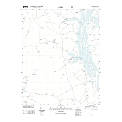 2011 Tharpe2011 Print · USGSStewart County at the turn of the century shows a landscape shaped by the waters of Lake Barkley and the quiet settlements of Tharpe and Tip Top. Researchers can trace dozens of family burial sites like Sills Cemetery and Knott Cemetery or locate old river access points at Jackson Landing.
 - 2011 Map of Rushing Bay, 2011 Print
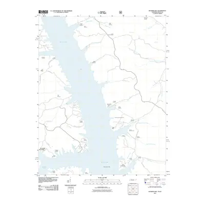 2011 Rushing Bay2011 Print · USGSKentucky Lake's intricate shoreline and the surrounding ridges of Calloway County are captured here in the early twenty-first century. Researchers can trace dozens of family burial sites and old landmarks like Boatwright, Rushing Creek Cemetery, and Blood River Bar.
 - 2013 Map of Hamlin, 2013 Print
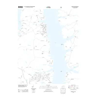 2013 Hamlin2013 Print · USGSThe shorelines of Kentucky Lake and the site of Fort Heiman are captured here in the early twenty-first century. Genealogists can trace dozens of family burial sites across the valley, from Winchester Cem and Mallory Cem to Vinson Cem.
 - 2013 Map of Linton, 2013 Print
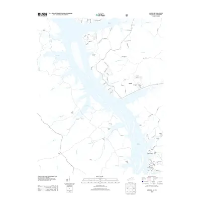 2013 Linton2013 Print · USGSThe Kentucky-Tennessee borderlands appear here in the early twenty-first century, defined by the sprawling waters of Lake Barkley. Researchers can locate numerous family burial grounds like Wiggins Cem and Mt Vernon Cem near the historic settlements of Linton and Tobaccoport.
 - 2013 Map of Roaring Spring, 2013 Print
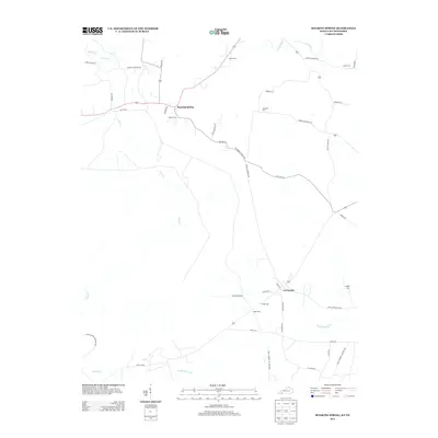 2013 Roaring Spring2013 Print · USGSTracing the Kentucky-Tennessee borderlands in the early 2010s, this map captures the rural character of Christian County before recent development. Genealogists can locate family landmarks like Dawson Cem and Simmons Cem near La Fayette.
 - 2013 Map of Johnson Hollow, 2013 Print
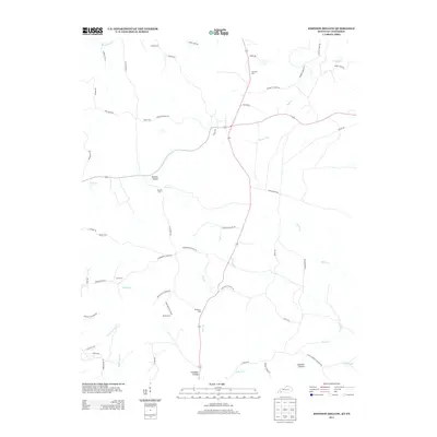 2013 Johnson Hollow2013 Print · USGSTrigg County and the Tennessee borderlands are captured here in the early twenty-first century as rural agricultural patterns meet federal boundaries. Genealogists can locate family burial sites like Skinner Cem and McKinney Cem or trace the reach of Fort Campbell Military Res.
 - 2013 Map of Standing Rock, 2013 Print
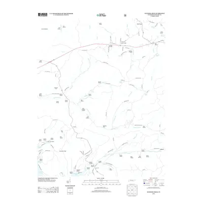 2013 Standing Rock2013 Print · USGSStewart County's river-bound highlands are captured here in the early twenty-first century, showing the rural landscape between two major reservoirs. Researchers can trace family ties through numerous labeled landmarks like Mulberry Hill, Pumpkin Ridge, and the Short Creek Airport.
 - 2013 Map of Needmore, 2013 Print
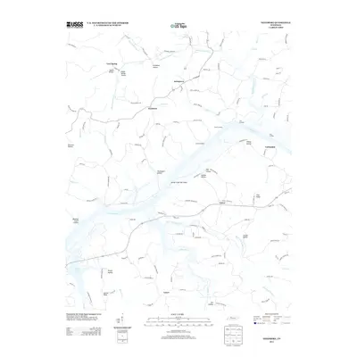 2013 Needmore2013 Print · USGSThe Cumberland River valley is seen here in the decade following the turn of the millennium, defined by its complex network of landings and hollows. Genealogists and local historians can trace family sites near Needmore, Stringtown, and York Landing along the shore of Lake Barkley.
Showing maps 1-25 of 76
Top cities of Stewart County
Frequently asked questions
- What are the different types of historical maps available for Stewart County?
- What is the oldest map of Stewart County?
- Where can I purchase historical maps of Stewart County for my home or office?
- Where can I download high-res historical maps of Stewart County?
- Are there historical topographic maps available for Stewart County?
- Is there historical aerial imagery available for Stewart County?
- Where are historical maps of Stewart County sourced from?