2000s (21st Century) Maps of Sumner County, Tennessee
Explore 100 historic maps of Sumner County from the 2000s (21st Century). These maps offer a rare glimpse into what life looked like during the 2000s — showing old roads, neighborhoods, homes, and landmarks that have changed or disappeared over time.
Whether you're researching your family's past, planning a metal detecting trip, or studying how Sumner County's landscape evolved across the 2000s, these high-resolution maps are a powerful tool for exploring the history of this region.
- Focus on a specific era: All maps on this page are from the 2000s, giving you a focused view of this time period.
- See what’s changed: Compare century-old streets, trails, and buildings to today's modern landscape using overlays and satellite layers.
- Research with precision: Use these maps for genealogy, historical research, land use analysis, or educational projects.
- View, download, or print: Maps are fully viewable online in high resolution, and can be downloaded or printed for your own records.
Start exploring Sumner County's history through authentic maps from the 2000s. This is your window into the past.
Sumner County, TN maps
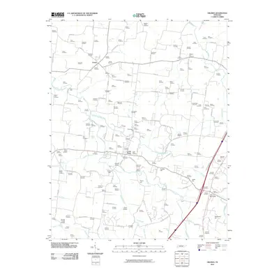
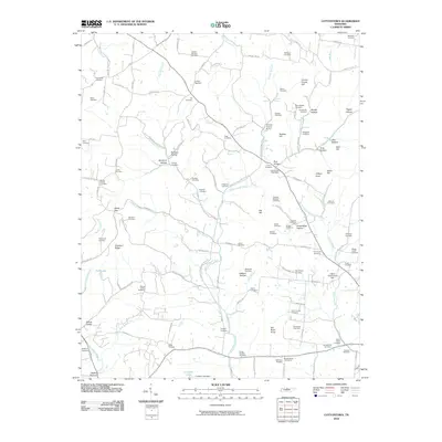
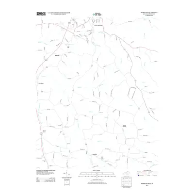
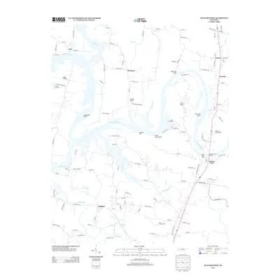
(100)- 2010 Map of Fountain Head, 2010 Print
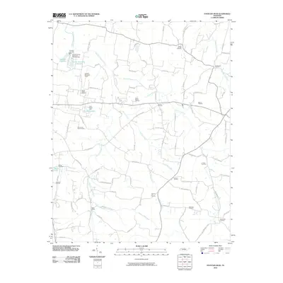 2010 Fountain Head2010 Print · USGSCovers Sumner County, including Portland, Chestnut Hill, and other nearby areas
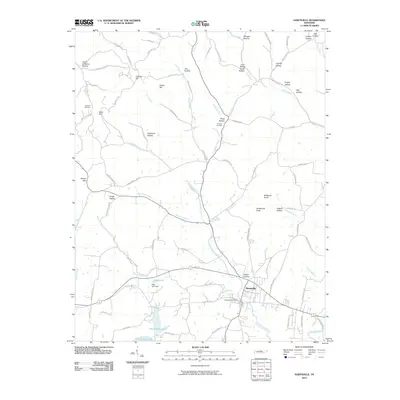
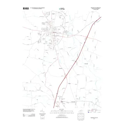
 - 2010 Map of Franklin, 2010 Print
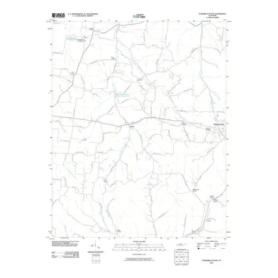
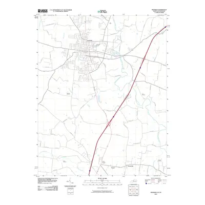 2010 Franklin2010 Print · USGSCovers Sumner County, including Portland, Franklin, and other nearby areas
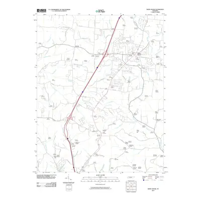
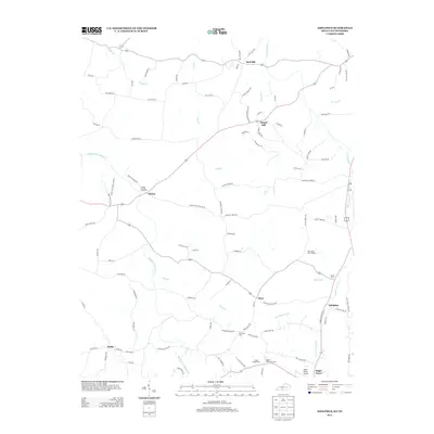
 - 2010 Map of Gallatin, 2010 Print
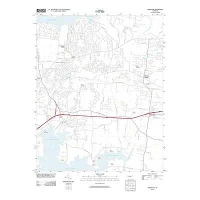
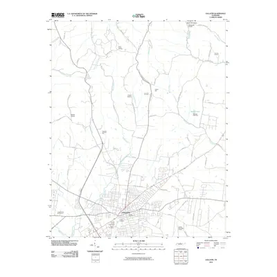 2010 Gallatin2010 Print · USGSCovers Sumner County, including Gallatin, Kansas, and other nearby areas
 - 2010 Map of Portland, 2010 Print
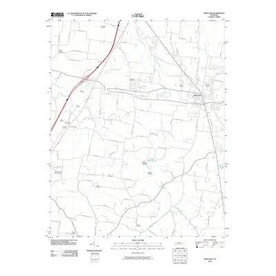 2010 Portland2010 Print · USGSCovers Sumner County, including Portland, Orlinda, and other nearby areas
 - 2010 Map of Hunters Point, 2010 Print
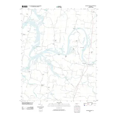 2010 Hunters Point2010 Print · USGSCovers Sumner County, including Lebanon, Cairo, and other nearby areas
 - 2010 Map of Laguardo, 2010 Print
 2010 Laguardo2010 Print · USGSCovers Sumner County, including Gallatin, Lebanon, and other nearby areas
 - 2010 Map of Hendersonville, 2010 Print
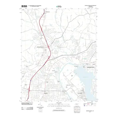
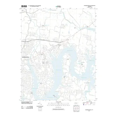 2010 Hendersonville2010 Print · USGSCovers Sumner County, including Nashville, Hendersonville, and other nearby areas
 - 2010 Map of Greenbrier, 2010 Print
 2010 Greenbrier2010 Print · USGSCovers Sumner County, including Nashville, Springfield, and other nearby areas
 - 2010 Map of Westmoreland, 2010 Print
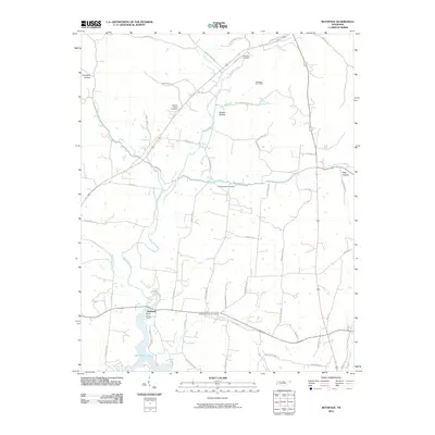
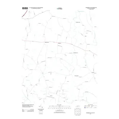
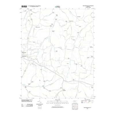 2010 Westmoreland2010 Print · USGSCovers Sumner County, including Westmoreland, Pleasant Grove, and other nearby areas
 - 2010 Map of Bethpage, 2010 Print
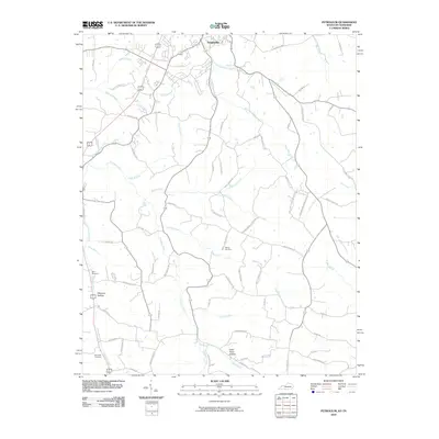
 2010 Bethpage2010 Print · USGSCovers Sumner County, including Hickory Grove, Chipman, and other nearby areas
 - 2010 Map of Hickory Flat, 2010 Print
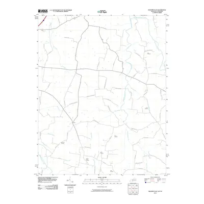 2010 Hickory Flat2010 Print · USGSCovers Sumner County, including Portland, Franklin, and other nearby areas
 - 2010 Map of Petroleum, 2010 Print
 2010 Petroleum2010 Print · USGSCovers Sumner County, including Scottsville, Rodemer, and other nearby areas
 - 2010 Map of Orlinda, 2010 Print
 2010 Orlinda2010 Print · USGSCovers Sumner County, including White House, Cross Plains, and other nearby areas
 - 2010 Map of Turners Station, 2010 Print
 2010 Turners Station2010 Print · USGSCovers Sumner County, including Westmoreland, Angeltown, and other nearby areas
 - 2010 Map of Hermitage, 2010 Print
 2010 Hermitage2010 Print · USGSCovers Sumner County, including Nashville, Hendersonville, and other nearby areas
 - 2010 Map of Goodlettsville, 2010 Print
 2010 Goodlettsville2010 Print · USGSCovers Sumner County, including Nashville, Hendersonville, and other nearby areas
 - 2010 Map of Cottontown, 2010 Print
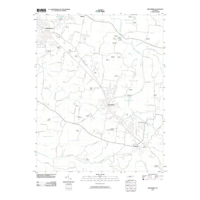
 2010 Cottontown2010 Print · USGSCovers Sumner County, including Gallatin, White House, and other nearby areas
 - 2010 Map of Hartsville, 2010 Print
 2010 Hartsville2010 Print · USGSCovers Sumner County, including Halltown, Templow, and other nearby areas
 - 2010 Map of White House, 2010 Print
 2010 White House2010 Print · USGSCovers Sumner County, including Nashville, Goodlettsville, and other nearby areas
 - 2010 Map of Adolphus, 2010 Print
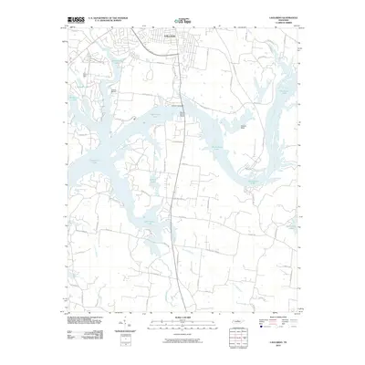
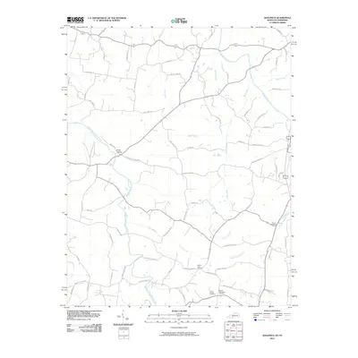 2010 Adolphus2010 Print · USGSCovers Sumner County, including Sugar Grove, Chapel Hill, and other nearby areas
 - 2013 Map of Franklin, 2013 Print
 2013 Franklin2013 Print · USGSCovers Sumner County, including Portland, Franklin, and other nearby areas
 - 2013 Map of Petroleum, 2013 Print
 2013 Petroleum2013 Print · USGSCovers Sumner County, including Scottsville, Rodemer, and other nearby areas
 - 2013 Map of Adolphus, 2013 Print
 2013 Adolphus2013 Print · USGSCovers Sumner County, including Sugar Grove, Chapel Hill, and other nearby areas
 - 2013 Map of Hickory Flat, 2013 Print
 2013 Hickory Flat2013 Print · USGSCovers Sumner County, including Portland, Franklin, and other nearby areas
 - 2013 Map of Hunters Point, 2013 Print
 2013 Hunters Point2013 Print · USGSCovers Sumner County, including Lebanon, Cairo, and other nearby areas
Showing maps 1-25 of 100
Top cities of Sumner County
- Hendersonville historical maps
- Gallatin historical maps
- Portland historical maps
- Millersville historical maps
- Westmoreland historical maps
- Mitchellville historical maps
Frequently asked questions
- What are the different types of historical maps available for Sumner County?
- What is the oldest map of Sumner County?
- Where can I purchase historical maps of Sumner County for my home or office?
- Where can I download high-res historical maps of Sumner County?
- Are there historical topographic maps available for Sumner County?
- Is there historical aerial imagery available for Sumner County?
- Where are historical maps of Sumner County sourced from?