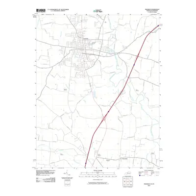
2010 Map of Franklin
USGS Topo · Published 2010About this map
Franklin and Mitchellville anchor this Kentucky-Tennessee border region at the dawn of the twenty-first century, showing the established settlement patterns and modern highway developments of Simpson and Sumner Counties. The landscape is defined by the winding course of the West Fork Drakes Creek and several smaller tributaries such as Webb Branch and Sharps Branch. These waterways have historically guided the placement of rural roads and homesteads. Local history is deeply embedded in the terrain through numerous burial grounds, including the Green Lawn Cemetery near the city center and smaller family or community sites like Chisholm Cemetery, Peden Cemetery, and Ebenezer Cemetery. Modern expansion is evident along the State Hwy 1008 Byp, which redirects traffic around the historic core of Franklin while contemporary memorial sites like K and T Memorial Gardens reflect more recent community developments.
Find a feature on this map
64 named features on this map. Tap any name to fly to it.
Don’t see what you’re looking for? This feature index may not catch every label — zoom into the map to look around manually.
Map Details
Editions of this 2010 Franklin Map
This is the sole edition of this map. No revisions or reprints were ever made.
Other maps of this area

1921 · Bowling Green
USGS Topo · 1:62,500

1923 · Bowling Green
USGS Topo · 1:62,500

1928 · Adolphus
USGS Topo · 1:48,000

1931 · Adolphus
USGS Topo · 1:62,500

1942 · Gallatin
USGS Topo · 1:100,000

1951 · Woodburn
USGS Topo · 1:24,000

1951 · Franklin
USGS Topo · 1:24,000

1951 · Prices Mill
USGS Topo · 1:24,000

1951 · Auburn
USGS Topo · 1:24,000

1953 · Orlinda
USGS Topo · 1:24,000