Old Maps of Amarillo, Texas for Hiking & Exploration
Hike through history with 53 historic maps of Amarillo. Explore old trails, ghost towns, and forgotten backroads — perfect for outdoor adventurers and local explorers.
- Rediscover forgotten places: Map out old mining camps, roads, and footpaths that no longer exist on modern maps.
- Layer with modern tools: Combine with LiDAR or satellite views to plan hikes through historical terrain.
- Made for exploration: Popular among hikers, overlanders, and local history lovers.
Use these maps to find adventure and explore the hidden past of Amarillo.
Amarillo, TX maps
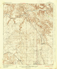
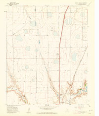
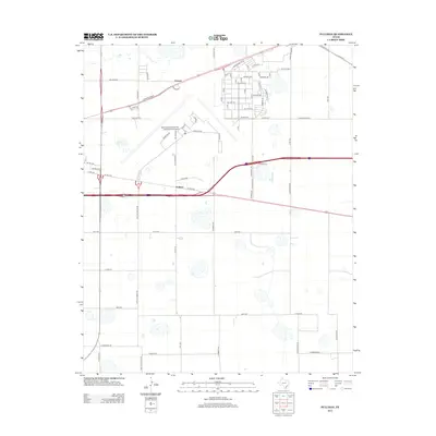
(53)- 1934 Map of Cliffside, 1959 Print
 1934 Cliffside1959 Print · USGSPotter County ranching and rail infrastructure are captured here in the mid-1930s. Genealogists and local historians can trace legacy holdings like Fuqua Ranch and Bivins Ranch alongside rural landmarks like Pleasant Valley Sch.
 - 1936 Map of Cliffside
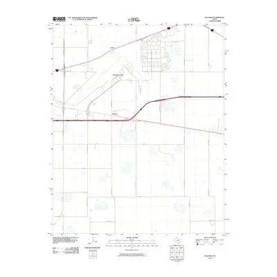
 1936 Cliffside1936 Print · USGSPotter County ranching and rail infrastructure are captured here in the mid-1930s as the Panhandle modernized. Researchers can trace family-named landmarks like Fuqua Ranch and Bivins Ranch or locate early rural education sites at River Road Sch.2 unique versions available
 - 1953 Map of Pleasant Valley, 1954 Print
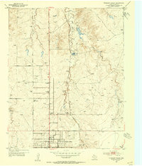 1953 Pleasant Valley1954 Print · USGSNorth of Amarillo in the early fifties, the Panhandle landscape was a mix of cattle ranching, caliche mining, and early suburban growth. Genealogists and local historians can locate family landmarks like Bivins Ranch, the Amarillo Speed-Bowl, and the River Road School.3 unique versions available
 - 1953 Map of Mayer, 1954 Print
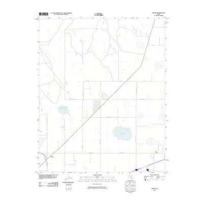
 1953 Mayer1954 Print · USGSPotter County's High Plains are captured here in the early 1950s, showing a landscape shaped by the Chicago Rock Island and Pacific railroad. Genealogists and local historians can trace the community of St Francis, the Highland Park School, and the local St Francis Cem.3 unique versions available
 - 1953 Map of Cliffside, 1954 Print
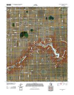
 1953 Cliffside1954 Print · USGSPotter County’s gas fields and cattle country are captured here in the mid-twentieth century. Family historians and researchers can trace the Fort Worth and Denver (Burlington) rail line past Cliffside, Townsend Cemetery, and the Cliffside Gas Field Camp.3 unique versions available
 - 1954 Map of Amarillo, 1966 Print
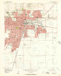
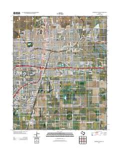
 1954 Amarillo1966 Print · USGSThe Texas Panhandle in the mid-1960s shows a landscape of rising industrial power and deep-rooted ranching tradition. Local historians can trace the paths of the Panhandle and Santa Fe railroad or locate sites like the Pantex Ordnance Plant and Mobeetie.2 unique versions available
 - 1956 Map of Amarillo East, 1957 Print
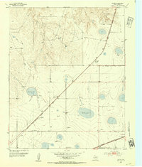
 1956 Amarillo East1957 Print · USGSAmarillo and the surrounding Panhandle plains are shown here during a period of significant mid-century growth and industrial expansion. Local historians can trace dozens of neighborhood landmarks, from the Tradewind Airport to numerous schools like Carver Sch and Palo Duro High Sch.3 unique versions available
 - 1956 Map of Pullman, 1958 Print
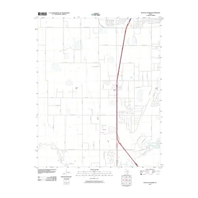
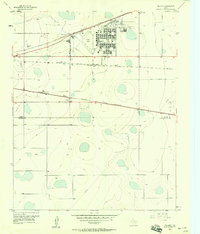 1956 Pullman1958 Print · USGSThe Texas Panhandle comes into focus during the mid-fifties, showing a landscape defined by massive military airbases and a dense crossroads of three major railroads. Trace the development of Amarillo Air Force Base and the small siding at Pullman alongside the Panhandle and Santa Fe tracks.3 unique versions available
 - 1958 Map of Amarillo
 1958 Amarillo1958 Print · USGSThe Texas Panhandle in the mid-1950s reveals a landscape of expanding military installations and oil-rich rail towns. Local historians can trace the development of Amarillo Air Force Base or locate smaller settlements like Magic City and New Mobeetie.
 - 1960 Map of The Palisades, 1961 Print
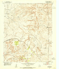
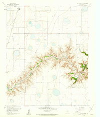 1960 The Palisades1961 Print · USGSRandall County's dramatic canyonlands are shown in detail during the early sixties as the landscape supported both ranching and recreation. Researchers can locate the winding Prairie Dog Town Fork Red River, Camp Harrington, and the railroad stops at Zita and Haney.3 unique versions available
 - 1960 Map of Amarillo West, 1961 Print
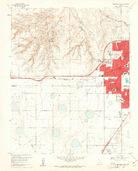 1960 Amarillo West1961 Print · USGSThe Texas Panhandle meets mid-century suburban growth in this survey of West Amarillo during the early 1960s. Researchers can trace the expansion of neighborhood schools like Olsen Park Sch and locate the historic Kiwanis Camp near the rugged breaks of West Amarillo Creek.3 unique versions available
 - 1960 Map of Buffalo Stadium, 1962 Print
 1960 Buffalo Stadium1962 Print · USGSRandall County's dramatic canyon breaks and high plains industry are captured here in the early sixties. Genealogists and local historians can trace the Panhandle and Santa Fe railroad line, locate Haney, or find Memory Gardens (Cem).3 unique versions available
 - 1986 Map of Amarillo
 1986 Amarillo1986 Print · USGSAmarillo and the surrounding Texas Panhandle are captured here in the mid-eighties as a hub of energy, agriculture, and transport. Researchers can trace the sprawling Pantex Plant, the rail-side growth of Panhandle, and the deep cuts of Palo Duro Canyon.2 unique versions available
 - 2010 Map of Mayer, 2010 Print
 2010 Mayer2010 Print · USGSCovers Amarillo, including Mayer, Potter County, and other nearby areas
 - 2010 Map of Pleasant Valley, 2010 Print
 2010 Pleasant Valley2010 Print · USGSCovers Amarillo, including Gluck, Pleasant Valley, and other nearby areas
 - 2010 Map of Buffalo Stadium, 2010 Print
 2010 Buffalo Stadium2010 Print · USGSCovers Amarillo, including Canyon, Rockwell acres, and other nearby areas
 - 2010 Map of Cliffside, 2010 Print
 2010 Cliffside2010 Print · USGSCovers Amarillo, including Bishop Hills, Gentry, and other nearby areas
 - 2010 Map of Pullman, 2010 Print
 2010 Pullman2010 Print · USGSCovers Amarillo, including Folsom, Pullman, and other nearby areas
 - 2010 Map of The Palisades, 2010 Print
 2010 The Palisades2010 Print · USGSCovers Amarillo, including Lake Tanglewood, Timbercreek Canyon, and other nearby areas
 - 2010 Map of Amarillo East, 2010 Print
 2010 Amarillo East2010 Print · USGSCovers Amarillo, including Dumas Junction, Randall County, and other nearby areas
 - 2010 Map of Amarillo West, 2010 Print
 2010 Amarillo West2010 Print · USGSCovers Amarillo, including Soncy, Walnut Hills, and other nearby areas
 - 2012 Map of Pleasant Valley, 2012 Print
 2012 Pleasant Valley2012 Print · USGSCovers Amarillo, including Gluck, Pleasant Valley, and other nearby areas
 - 2012 Map of Amarillo East, 2012 Print
 2012 Amarillo East2012 Print · USGSCovers Amarillo, including Dumas Junction, Randall County, and other nearby areas
 - 2012 Map of Pullman, 2012 Print
 2012 Pullman2012 Print · USGSCovers Amarillo, including Folsom, Pullman, and other nearby areas
 - 2012 Map of Mayer, 2012 Print
 2012 Mayer2012 Print · USGSCovers Amarillo, including Mayer, Potter County, and other nearby areas
Showing maps 1-25 of 53
Top cities near Amarillo
- Canyon historical maps
- Lake Tanglewood historical maps
- Timbercreek Canyon historical maps
- Palisades historical maps
- Bishop Hills historical maps
Top neighborhoods of Amarillo
- Dumas Junction historical maps
- Pleasant Valley historical maps
- Pullman historical maps
- Bivins Addition historical maps
- Route 66 Historic District historical maps
Frequently asked questions
- What are the different types of historical maps available for Amarillo?
- What is the oldest map of Amarillo?
- Where can I purchase historical maps of Amarillo for my home or office?
- Where can I download high-res historical maps of Amarillo?
- Are there historical topographic maps available for Amarillo?
- Is there historical aerial imagery available for Amarillo?
- Where are historical maps of Amarillo sourced from?