Old Maps of Palestine, Texas for Academic Research
Study the evolution of Palestine with 31 high-resolution historic maps. Whether you're teaching, researching, or modeling changes in land use, these maps provide essential visual documentation of urban, environmental, and geographic change.
- Analyze long-term change: Track patterns in development, transportation, and natural features.
- Ideal for environmental or urban studies: Support academic projects with primary historical map data.
- Use in the classroom or lab: Educators and researchers rely on these maps to bring historical context to life.
These maps are a powerful tool for teaching, research, and visualizing how Palestine has changed over the decades.
Palestine, TX maps
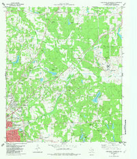
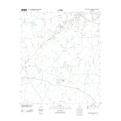
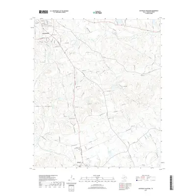
(31)- 1949 Map of Palestine, 1962 Print
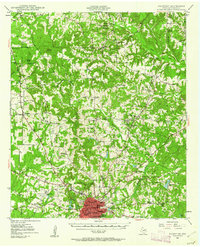 1949 Palestine1962 Print · USGSPalestine and its rural Anderson County surrounds come alive in the late 1940s, highlighting the convergence of the Missouri Pacific railroad and a growing aviation footprint. Genealogists can trace family roots through numerous country landmarks like Broyles Chapel, Hopewell Cem, and Union Academy.3 unique versions available
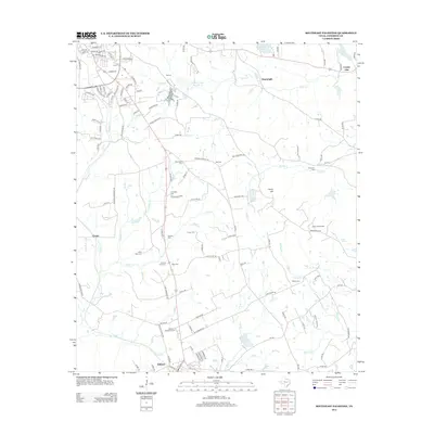
 - 1950 Map of Palestine
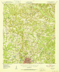 1950 Palestine1950 Print · USGSEast Texas at mid-century was a landscape of rural schools and rail-dependent towns like Montalba and Elmtown. Genealogists and historians can trace family roots through numerous sites like Cuney Academy, Broyles Chapel, and Hopewell Cem.2 unique versions available
 - 1951 Map of Elkhart, 1952 Print
 1951 Elkhart1952 Print · USGSEast Texas ranching and oil communities thrive along the river bottoms in the early fifties. Genealogists can trace family roots through numerous rural landmarks like Fort Houston Cem, Myrtle Springs Sch, and Old Salt Works Lake.2 unique versions available
 - 1953 Map of Palestine, 1964 Print
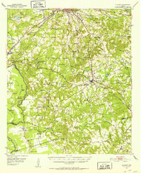
 1953 Palestine1964 Print · USGSEast Texas was defined by its deep pine forests and burgeoning energy sector in the mid-1950s. Genealogists and historians can trace the rail-and-river economy through settlements like Tennessee Colony and Pollok or explore the early footprints of the Cayuga Oil Field and Davy Crockett National Forest.2 unique versions available
 - 1957 Map of Palestine
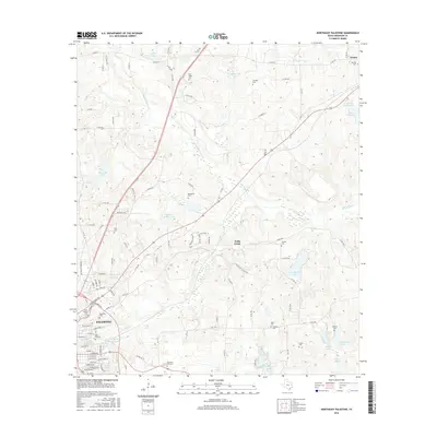
 1957 Palestine1957 Print · USGSEast Texas in the mid-fifties reveals a landscape of deep pine forests and winding river valleys before the era of massive reservoir construction. Researchers can trace the legacy of the timber and rail industries through labels for the Missouri Pacific RR, Davy Crockett National Forest, and Nacogdoches.
 - 1981 Map of Palestine
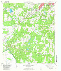
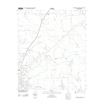
 1981 Palestine1981 Print · USGSEast Texas was a crossroads of timber, rail, and energy in the early eighties, centered on the bustling junction at Palestine. Researchers can trace family roots through rural landmarks like Old Pioneer Cem, Lynch Academy, and Hudson Chapel.
 - 1982 Map of Northwest Palestine
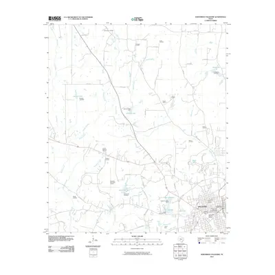
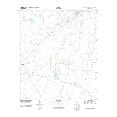
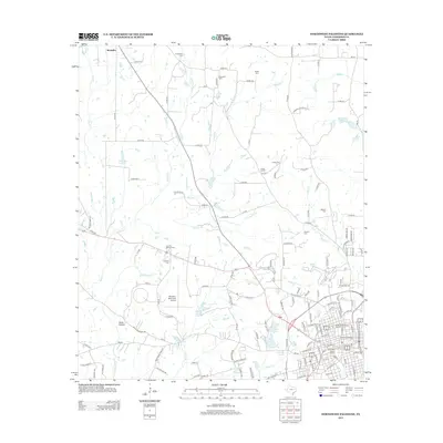
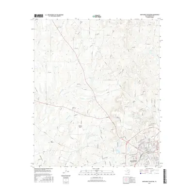
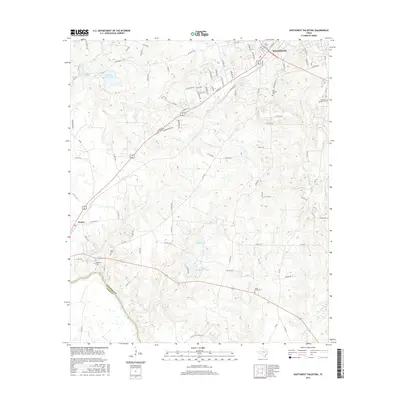
 1982 Northwest Palestine1982 Print · USGSAnderson County in the early eighties shows the northern expansion of Palestine into a landscape defined by creeks and rail lines. Family historians can trace rural roots at Jerusalem Cem, Broyles Chapel, and the National Scientific Balloon Facility.
 - 1982 Map of Northeast Palestine
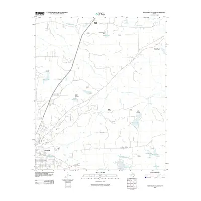
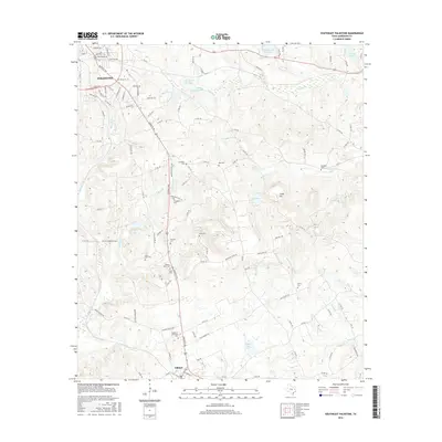
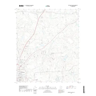
 1982 Northeast Palestine1982 Print · USGSThe outskirts of Palestine and the historic Mound Prairie area are captured here in the early eighties. Researchers can trace family roots through several local landmarks like East Hill Cem, Zion Hill Sch, and the Missouri Pacific rail corridor.
 - 1982 Map of Southwest Palestine
 1982 Southwest Palestine1982 Print · USGSSouthwest of Palestine in the early eighties, this landscape shows the convergence of the Missouri Pacific RR and the Trinity River bottoms. Researchers can trace family history at Fort Houston Cem or locate the site of the Old Salt Works.
 - 1982 Map of Southeast Palestine
 1982 Southeast Palestine1982 Print · USGSAnderson County in the early eighties shows a landscape of deep-rooted settlements and active energy production. Researchers can trace the heritage of Elkhart and Slocum while locating rural landmarks like Days Chapel and the Camp Hill Oil Field.
 - 1984 Map of Palestine
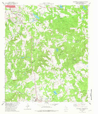
 1984 Palestine1984 Print · USGSEast Texas in the mid-eighties reveals a landscape of massive reservoirs and protected timberlands between Palestine and Nacogdoches. Researchers can trace old routes like the Missouri Pacific RR and locate rural communities such as Tennessee Colony, Latexo, and Etoile.3 unique versions available
 - 2010 Map of Southeast Palestine, 2010 Print
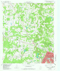
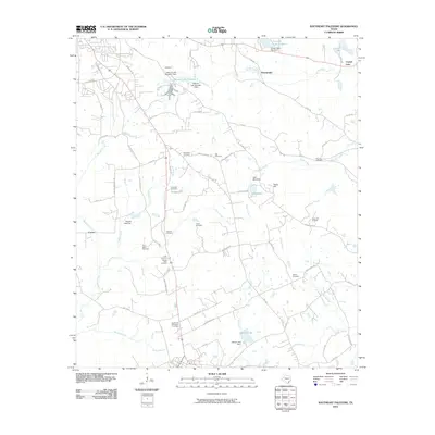 2010 Southeast Palestine2010 Print · USGSCovers Palestine, including Elkhart, Cronin, and other nearby areas
 - 2010 Map of Northwest Palestine, 2010 Print
 2010 Northwest Palestine2010 Print · USGSCovers Palestine, including Anderson County, United States, and other nearby areas
 - 2010 Map of Southwest Palestine, 2010 Print
 2010 Southwest Palestine2010 Print · USGSCovers Palestine, including Scrougeout, Tucker, and other nearby areas
 - 2010 Map of Northeast Palestine, 2010 Print
 2010 Northeast Palestine2010 Print · USGSCovers Palestine, including Mound Prairie, Wells Creek, and other nearby areas
 - 2013 Map of Northwest Palestine, 2013 Print
 2013 Northwest Palestine2013 Print · USGSCovers Palestine, including Anderson County, United States, and other nearby areas
 - 2013 Map of Southwest Palestine, 2013 Print
 2013 Southwest Palestine2013 Print · USGSCovers Palestine, including Scrougeout, Tucker, and other nearby areas
 - 2013 Map of Southeast Palestine, 2013 Print
 2013 Southeast Palestine2013 Print · USGSCovers Palestine, including Elkhart, Cronin, and other nearby areas
 - 2013 Map of Northeast Palestine, 2013 Print
 2013 Northeast Palestine2013 Print · USGSCovers Palestine, including Mound Prairie, Wells Creek, and other nearby areas
 - 2016 Map of Northeast Palestine, 2016 Print
 2016 Northeast Palestine2016 Print · USGSCovers Palestine, including Mound Prairie, Wells Creek, and other nearby areas
 - 2016 Map of Northwest Palestine, 2016 Print
 2016 Northwest Palestine2016 Print · USGSCovers Palestine, including Anderson County, United States, and other nearby areas
 - 2016 Map of Southwest Palestine, 2016 Print
 2016 Southwest Palestine2016 Print · USGSCovers Palestine, including Scrougeout, Tucker, and other nearby areas
 - 2016 Map of Southeast Palestine, 2016 Print
 2016 Southeast Palestine2016 Print · USGSCovers Palestine, including Elkhart, Cronin, and other nearby areas
 - 2019 Map of Northeast Palestine, 2019 Print
 2019 Northeast Palestine2019 Print · USGSCovers Palestine, including Mound Prairie, Wells Creek, and other nearby areas
 - 2019 Map of Southeast Palestine, 2019 Print
 2019 Southeast Palestine2019 Print · USGSCovers Palestine, including Elkhart, Cronin, and other nearby areas
Showing maps 1-25 of 31
Top cities near Palestine
Frequently asked questions
- What are the different types of historical maps available for Palestine?
- What is the oldest map of Palestine?
- Where can I purchase historical maps of Palestine for my home or office?
- Where can I download high-res historical maps of Palestine?
- Are there historical topographic maps available for Palestine?
- Is there historical aerial imagery available for Palestine?
- Where are historical maps of Palestine sourced from?