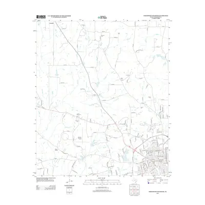
2013 Map of Northwest Palestine
USGS Topo · Published 2013About this map
Ft Houston Cem and Jerusalem Cem are among several burial grounds that anchor this survey of the northwestern periphery of Palestine. The map details the transition from the city's structured North Side Historic District and South Side Historic District to the rural expanses of Anderson County. Extensive creek systems, including the branching Keechie Cr and Foundry Br, define the local drainage and topography.
Find a feature on this map
141 named features on this map. Tap any name to fly to it.
Don’t see what you’re looking for? This feature index may not catch every label — zoom into the map to look around manually.
Map Details
Editions of this 2013 Northwest Palestine Map
This is the sole edition of this map. No revisions or reprints were ever made.
Other maps of this area

1949 · Palestine
USGS Topo · 1:62,500

1949 · Tennessee Colony
USGS Topo · 1:62,500

1950 · Palestine
USGS Topo · 1:62,500

1950 · Tennessee Colony
USGS Topo · 1:62,500

1951 · Elkhart
USGS Topo · 1:62,500

1953 · Palestine
USGS Topo · 1:250,000

1957 · Palestine
USGS Topo · 1:250,000

1964 · Long Lake
USGS Topo · 1:24,000

1981 · Palestine
USGS Topo · 1:100,000
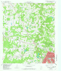
1982 · Northwest Palestine
USGS Topo · 1:24,000