Old Maps of Herty, Lufkin for Hiking & Exploration
Hike through history with 13 historic maps of Herty. Explore old trails, ghost towns, and forgotten backroads — perfect for outdoor adventurers and local explorers.
- Rediscover forgotten places: Map out old mining camps, roads, and footpaths that no longer exist on modern maps.
- Layer with modern tools: Combine with LiDAR or satellite views to plan hikes through historical terrain.
- Made for exploration: Popular among hikers, overlanders, and local history lovers.
Use these maps to find adventure and explore the hidden past of Herty.
Herty, Lufkin maps
(13)- 1949 Map of Lufkin, 1961 Print
 1949 Lufkin1961 Print · USGSPost-war Angelina County shows a growing Lufkin amid a landscape of timber and rail. Genealogists can trace family names through dozens of landmarks like Homer Cem, Jacob Chapel Cem, and the old settlement at Marion.2 unique versions available
 - 1949 Map of Lufkin, 1968 Print
 1949 Lufkin1968 Print · USGSLufkin and its surrounding East Texas timberlands are captured here at mid-century, showing the city's rail-driven expansion. Genealogists and local historians can locate several family burial grounds like Whitehouse Cem and Fielder Cem, alongside rural landmarks such as Harbucks Chapel.3 unique versions available
 - 1950 Map of Lufkin
 1950 Lufkin1950 Print · USGSMid-century Lufkin serves as a vital rail and industrial hub in the East Texas timber belt as it appeared just after the war. Local historians can trace the foundations of the community at Keltys, Homer, and rural sites like Harbucks Chapel or Glendale Cem.
 - 1953 Map of Palestine, 1964 Print
 1953 Palestine1964 Print · USGSEast Texas was defined by its deep pine forests and burgeoning energy sector in the mid-1950s. Genealogists and historians can trace the rail-and-river economy through settlements like Tennessee Colony and Pollok or explore the early footprints of the Cayuga Oil Field and Davy Crockett National Forest.2 unique versions available
 - 1957 Map of Palestine
 1957 Palestine1957 Print · USGSEast Texas in the mid-fifties reveals a landscape of deep pine forests and winding river valleys before the era of massive reservoir construction. Researchers can trace the legacy of the timber and rail industries through labels for the Missouri Pacific RR, Davy Crockett National Forest, and Nacogdoches.
 - 1984 Map of Palestine
 1984 Palestine1984 Print · USGSEast Texas in the mid-eighties reveals a landscape of massive reservoirs and protected timberlands between Palestine and Nacogdoches. Researchers can trace old routes like the Missouri Pacific RR and locate rural communities such as Tennessee Colony, Latexo, and Etoile.3 unique versions available
 - 1986 Map of Lufkin
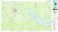 1986 Lufkin1986 Print · USGSDeep in the Piney Woods during the mid-eighties, this map documents a landscape shaped by vast national forests and the waters of the Sam Rayburn Reservoir. Researchers can trace the legacy of timber and rail through settlements like Diboll, Herty, and Ewing alongside the St Louis Southwestern railroad.
 - 1992 Map of Lufkin
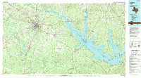 1992 Lufkin1992 Print · USGSThe Piney Woods of East Texas are captured here in the early nineties, centered on the growing industrial hub of Lufkin. Local researchers can trace the rail networks of the Angelina & Neches River RR and locate rural landmarks like Shady Grove Ch and Manning.
 - 2010 Map of Lufkin, 2010 Print
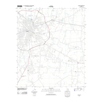 2010 Lufkin2010 Print · USGSLufkin and its surrounding Angelina County communities are documented here as they appeared a decade into the new millennium. Researchers can trace the development of outlying settlements like Herty and Homer or locate family history at Glendale Cemetery and Fielder Cemetery.
 - 2013 Map of Lufkin, 2013 Print
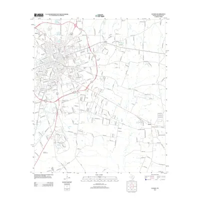 2013 Lufkin2013 Print · USGSLufkin and its surrounding communities are shown here during a period of modern expansion. Genealogists can locate family landmarks such as Glendale Cem and Fielder Cem, or trace the proximity of Angelina College to Homer.
 - 2016 Map of Lufkin, 2016 Print
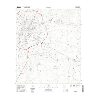 2016 Lufkin2016 Print · USGSLufkin and its surrounding East Texas timberlands are captured here in the mid-2010s, showing a landscape shaped by regional aviation and education. Researchers can locate several family burial sites like Whitehouse Cem and Fielder Cem, or trace the grounds of Angelina Coll.
 - 2019 Map of Lufkin, 2019 Print
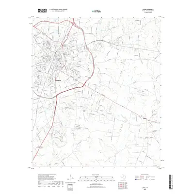 2019 Lufkin2019 Print · USGSLufkin and its surrounding communities are captured in detail during this late 2010s survey of the East Texas timberlands. Researchers can trace family history through several burial grounds like Glendale Cem and Homer Cem or locate regional landmarks like Hubbard Airport.
 - 2022 Map of Lufkin, 2022 Print
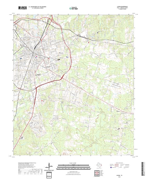 2022 Lufkin2022 Print · USGSLufkin and its surrounding East Texas communities are captured here in the early 2020s, showing a landscape defined by collegiate growth and civic history. Trace family roots at Garden of Memories Cem or Homer Cem, and locate landmarks like the Angelina County Courthouse.
End of results
Showing maps 1-13 of 13
Top cities near Herty
- Lufkin historical maps
- Nacogdoches historical maps
- Diboll historical maps
- Hudson historical maps
- Huntington historical maps
- Redland historical maps
See more
Frequently asked questions
- What are the different types of historical maps available for Herty?
- What is the oldest map of Herty?
- Where can I purchase historical maps of Herty for my home or office?
- Where can I download high-res historical maps of Herty?
- Are there historical topographic maps available for Herty?
- Is there historical aerial imagery available for Herty?
- Where are historical maps of Herty sourced from?