
1949 Map of Lufkin
USGS Topo · Published 1968About this map
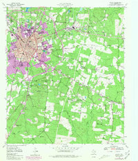
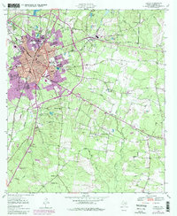
Lufkin serves as a thriving East Texas hub in this mid-century survey, defined by its extensive rail infrastructure including the St Louis Southwestern and Southern Pacific lines. The urban landscape features a established downtown near the Post Office and Hospital, transitioning into outlying industrial and residential communities like Keltys and Herty. The surrounding countryside is dotted with rural institutions such as McKindree Ch, Pleasant Grove Ch, and Fuller Springs Sch.
Find a feature on this map
56 named features on this map. Tap any name to fly to it.
Don’t see what you’re looking for? This feature index may not catch every label — zoom into the map to look around manually.
Map Details
Editions of this 1949 Lufkin Map
3 editions found
Other maps of this area

1932 · Manning
USGS Topo · 1:62,500

1949 · Lufkin
USGS Topo · 1:62,500

1949 · Platt
USGS Topo · 1:24,000

1949 · Clawson
USGS Topo · 1:24,000

1949 · Huntington
USGS Topo · 1:24,000

1949 · Keltys
USGS Topo · 1:24,000

1950 · Platt
USGS Topo · 1:24,000

1950 · Keltys
USGS Topo · 1:24,000

1950 · Lufkin
USGS Topo · 1:24,000

1950 · Clawson
USGS Topo · 1:24,000