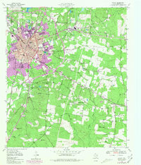
1949 Map of Lufkin
USGS Topo · Published 1981About this map
Lufkin stands as a central rail and industrial hub in this mid-century survey, which incorporates revisions from the late 1970s to show the city's later expansion. The landscape is defined by the convergence of the Southern Pacific RR, Texas and Pacific RR, and St Louis Southwestern RR, which supported the timber and manufacturing interests of the era. North of the city, the Angelina River flows near settlements like Keltys, while the rural outskirts are dotted with foundational community landmarks such as McKindree Ch and the Biloxi Sch. Local history is preserved in several burial grounds, including the Homer Cem in the old community of Homer and the Glendale Cem near the town center. The map also documents institutional growth through sites like the Forestry Experiment Station and several specialized schools like East Sch and Brandon Sch.
Find a feature on this map
46 named features on this map. Tap any name to fly to it.
Don’t see what you’re looking for? This feature index may not catch every label — zoom into the map to look around manually.
Map Details
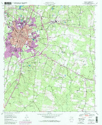
Editions of this 1949 Lufkin Map
3 editions found
Other maps of this area

1932 · Manning
USGS Topo · 1:62,500

1949 · Lufkin
USGS Topo · 1:62,500

1949 · Platt
USGS Topo · 1:24,000

1949 · Clawson
USGS Topo · 1:24,000

1949 · Lufkin
USGS Topo · 1:24,000

1949 · Huntington
USGS Topo · 1:24,000

1949 · Keltys
USGS Topo · 1:24,000

1950 · Platt
USGS Topo · 1:24,000

1950 · Keltys
USGS Topo · 1:24,000

1950 · Lufkin
USGS Topo · 1:24,000