Old Maps of Holiday Beach, Texas for Metal Detecting
Plan your next treasure hunt with 11 historic maps of Holiday Beach. Find old homesites, ghost towns, trails, and gathering spots that may be lost to time — perfect for identifying promising metal detecting locations.
- Locate forgotten sites: Uncover places like long-lost settlements, abandoned rail lines, or gathering spots.
- Plan better hunts: Use map overlays combined with LiDAR or satellite views to narrow in on historically rich areas.
- Made for detectorists: Thousands of hobbyists use these maps to discover relics, coins, and hidden history.
Use these historic maps to boost your research and find new opportunities beneath the surface of Holiday Beach.
Holiday Beach, TX maps
(11)- 1953 Map of Beeville
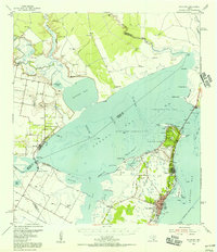
 1953 Beeville1953 Print · USGSThe Texas Coastal Bend in the early fifties shows a landscape of growing regional hubs and vital maritime corridors. Trace the rail-and-river economy through Goliad, locate the Matagorda Lighthouse, and explore the sprawling Aransas National Wildlife Refuge.
 - 1954 Map of Rockport, 1956 Print
 1954 Rockport1956 Print · USGSThe Aransas County coast comes to life in the mid-fifties, showing the growth of Rockport and the expansion of the Fulton Beach Oil Field. Researchers can locate family landmarks like Mc Lester Cem and trace the early layout of the Aransas County Airport.2 unique versions available
 - 1956 Map of Beeville
 1956 Beeville1956 Print · USGSCoastal Texas and the brush country interior are shown in the mid-fifties, from the coastal bays to the inland oil fields. Trace the old rail lines of the Southern Pacific RR or locate the historic Matagorda Lighthouse and the Aransas National Wildlife Refuge.2 unique versions available
 - 1960 Map of Beeville
 1960 Beeville1960 Print · USGSCoastal Texas in the mid-fifties reveals a landscape of growing towns and vital military outposts like Foster AFB. Researchers can trace old rail lines including the Missouri Pacific and explore the vast Aransas National Wildlife Refuge.
 - 1979 Map of Lamar
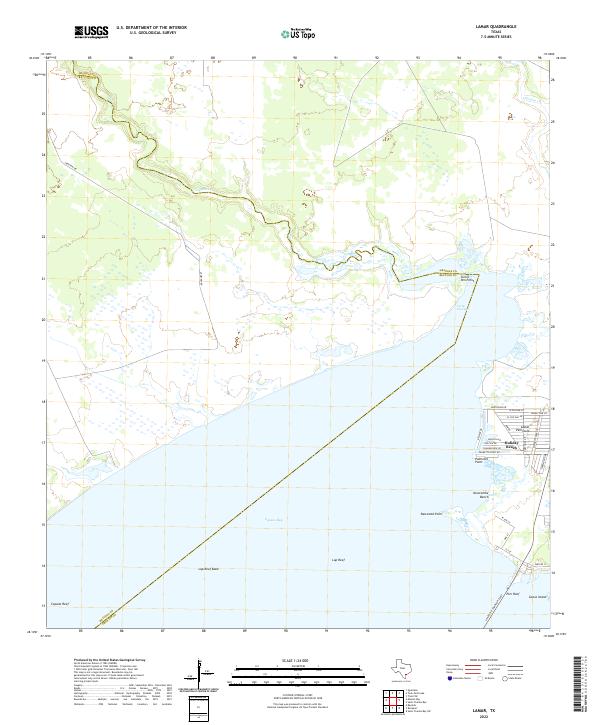
 1979 Lamar1979 Print · USGSTexas's coastal bend comes into focus during the late seventies as the petroleum industry and residential growth expanded along the shore. Researchers can trace land use from the Copano Bay Oil and Gas Field to the Plumbers Cem and Lamar community.
 - 1985 Map of Beeville
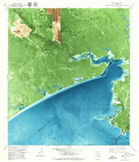
 1985 Beeville1985 Print · USGSCoastal South Texas is captured here in the mid-1980s, from the inland plains of Beeville to the estuaries of the Gulf. Genealogists and researchers can trace local landmarks like Chase Field Naval Air Station or follow the historic Southern Pacific rail lines through Skidmore and Woodsboro.2 unique versions available
 - 2010 Map of Lamar, 2010 Print
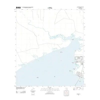
 2010 Lamar2010 Print · USGSCovers Holiday Beach, including Lamar, Aransas County, and other nearby areas
 - 2013 Map of Lamar, 2013 Print
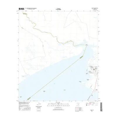
 2013 Lamar2013 Print · USGSCovers Holiday Beach, including Lamar, Aransas County, and other nearby areas
 - 2016 Map of Lamar, 2016 Print
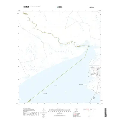
 2016 Lamar2016 Print · USGSCovers Holiday Beach, including Lamar, Aransas County, and other nearby areas
 - 2019 Map of Lamar, 2019 Print
 2019 Lamar2019 Print · USGSCovers Holiday Beach, including Lamar, Aransas County, and other nearby areas
 - 2022 Map of Lamar, 2022 Print
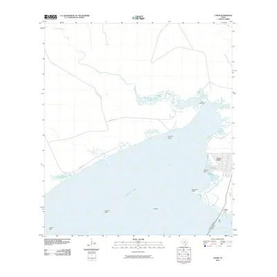
 2022 Lamar2022 Print · USGSThe Aransas County coast at the start of the 2020s shows the continued growth of waterfront communities alongside delicate bay ecosystems. Researchers can trace the layout of Holiday Beach and find landmarks like Goose Island and Turtle Pen Point.
End of results
Showing maps 1-11 of 11
Top cities near Holiday Beach
- Rockport historical maps
- Aransas Pass historical maps
- Fulton historical maps
- Bayside historical maps
- Austwell historical maps
Frequently asked questions
- What are the different types of historical maps available for Holiday Beach?
- What is the oldest map of Holiday Beach?
- Where can I purchase historical maps of Holiday Beach for my home or office?
- Where can I download high-res historical maps of Holiday Beach?
- Are there historical topographic maps available for Holiday Beach?
- Is there historical aerial imagery available for Holiday Beach?
- Where are historical maps of Holiday Beach sourced from?