1900s (20th Century) Maps of Archer County, Texas
Explore 28 historic maps of Archer County from the 1900s (20th Century). These maps offer a rare glimpse into what life looked like during the 1900s — showing old roads, neighborhoods, homes, and landmarks that have changed or disappeared over time.
Whether you're researching your family's past, planning a metal detecting trip, or studying how Archer County's landscape evolved across the 1900s, these high-resolution maps are a powerful tool for exploring the history of this region.
- Focus on a specific era: All maps on this page are from the 1900s, giving you a focused view of this time period.
- See what’s changed: Compare century-old streets, trails, and buildings to today's modern landscape using overlays and satellite layers.
- Research with precision: Use these maps for genealogy, historical research, land use analysis, or educational projects.
- View, download, or print: Maps are fully viewable online in high resolution, and can be downloaded or printed for your own records.
Start exploring Archer County's history through authentic maps from the 1900s. This is your window into the past.
Archer County, TX maps
(28)- 1931 Map of Archer City
 1931 Archer City1931 Print · USGSArcher County ranching and early oil country are captured here in the late twenties, showing the northern settlement patterns before extensive modernization. Researchers can trace the location of Geraldine School and the remote crossroads of Dads Corner along the Little Wichita River.2 unique versions available
 - 1932 Map of Dundee
 1932 Dundee1932 Print · USGSArcher County ranching and river lands are documented here in the early thirties as surveyors worked to map the northern Texas prairie. Researchers can trace the Archer City Dundee Road or locate the site of the Black Flat Sch near the Little Wichita River.2 unique versions available
 - 1954 Map of Wichita Falls, 1966 Print
 1954 Wichita Falls1966 Print · USGSNorth Texas in the mid-fifties is captured here as a landscape of expanding oil fields and vital rail corridors. Genealogists and historians can trace family roots through rural landmarks like Bacon Chapel and the rail-side growth of Seymour and Archer City.3 unique versions available
 - 1956 Map of Sloop Creek, 1957 Print
 1956 Sloop Creek1957 Print · USGSThis mid-fifties survey of the Archer and Wichita County line shows the intersection of the burgeoning oil industry and traditional ranching. Genealogists and historians can trace family properties like Vogtsberger Ranch or locate the North Star School and Kickapoo Airport.3 unique versions available
 - 1956 Map of Lake Wichita, 1958 Print
 1956 Lake Wichita1958 Print · USGSNorth Texas oil production and suburban growth collide in the mid-1950s as Wichita Falls expands toward the shores of Lake Wichita. Researchers can trace historic property boundaries and industrial sites like the Wichita Falls State Hospitals, Midwestern University, and the Hull-Silk oil field.3 unique versions available
 - 1957 Map of Wichita Falls East, 1958 Print
 1957 Wichita Falls East1958 Print · USGSNorth Texas in the late fifties was a landscape of expanding military aviation and established oil fields. Genealogists and historians can trace family-named properties like Vogtsberger Ranch alongside landmarks like White Hill Ch and the Kempner Cem.
 - 1957 Map of Wichita Falls West, 1958 Print
 1957 Wichita Falls West1958 Print · USGSWichita Falls and the surrounding oil fields come into focus during the late fifties as military and industrial growth reshaped the county. Researchers can trace family sites at Highland Cemetery, locate the original campus of Midwestern Univ, and find now-quiet rail stops like Bacon and Hartex.
 - 1958 Map of Wichita Falls
 1958 Wichita Falls1958 Print · USGSNorth Texas during the late fifties reveals a landscape defined by the booming petroleum industry and established rail hubs. Researchers can trace the development of Wichita Falls and discover rural landmarks like Barton's Chapel or the Hull-Silk Oil Field.
 - 1962 Map of Windthorst, 1964 Print
 1962 Windthorst1964 Print · USGSWindthorst and the surrounding Archer County ranch lands are captured here in the early sixties, showing a landscape defined by cattle and crude oil. Trace family roots at St Mary Ch or locate mid-century industrial markers like the Transcontinental Pipeline and Bridwell Ranch.
 - 1963 Map of Scotland, 1964 Print
 1963 Scotland1964 Print · USGSScotland and the Archer County ranchlands are captured here in the early sixties, showing a landscape shaped by petroleum and old rail lines. Trace the Old Railroad Grade and find historic sites like Lake Creek Ch and the Bridwell Ranch.2 unique versions available
 - 1963 Map of Archer City NE, 1964 Print
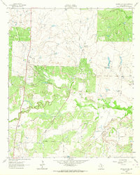 1963 Archer City NE1964 Print · USGSArcher County ranching and oil production are in full swing during the early sixties as the Little Wichita River cuts through the plains. Researchers can trace historic property boundaries like the Mule Shoe Ranch and the path of the Old Railroad Grade.
 - 1963 Map of Archer City East, 1964 Print
 1963 Archer City East1964 Print · USGSArcher County at the height of the mid-century oil boom reveals a landscape defined by petroleum production and rural ranching. Researchers can trace the extensive network of drilling sites across the Windthorst Oil Field and Bell Oil Field surrounding Archer City.
 - 1963 Map of Dundee, 1967 Print
 1963 Dundee1967 Print · USGSArcher and Baylor counties are shown during the mid-sixties as the local oil and rail economy shaped the landscape. Genealogists can locate the Dundee Cem and trace the Fort Worth and Denver railroad line as it passes through Dundee.
 - 1963 Map of Dundee SW, 1967 Print
 1963 Dundee SW1967 Print · USGSThe ranchlands of the Baylor and Archer County line are shown here in the 1960s as the local oil industry expanded. Researchers can trace family landmarks like Boone Ranch and Kickapoo Cem among the drainages of Godwin Creek and Kickapoo Creek.
 - 1963 Map of Megargel, 1967 Print
 1963 Megargel1967 Print · USGSMegargel was a bustling center of oil production and rural life in North Texas during the early sixties. Genealogists and historians can locate the High Sch, the local PO, and numerous Oil Wells scattered along Kickapoo Creek.
 - 1964 Map of Bobcat Bluff, 1967 Print
 1964 Bobcat Bluff1967 Print · USGSArcher County at the height of the mid-century oil boom reveals a landscape of industrial development and river drainage. Trace the Old Railroad Grade past the Anarene Oil Field and the headwaters of the West Fork Trinity River.
 - 1964 Map of Darnell Branch, 1967 Print
 1964 Darnell Branch1967 Print · USGSIn the early 1960s, the North Texas prairie here was a landscape of ranching and oil extraction at the meeting of four counties. Researchers can trace the winding West Fork Trinity River and locate energy landmarks like Burns-Jones Field or Spy Knob.
 - 1964 Map of Dundee SE, 1967 Print
 1964 Dundee SE1967 Print · USGSArcher County’s oil-and-water landscape is captured here in the mid-1960s, showing the early infrastructure of the North Texas plains. Genealogists and researchers can locate the settlement of Farmer, explore the Oldham Oil Field, and trace the winding Little Wichita River.2 unique versions available
 - 1964 Map of Archer City West, 1967 Print
 1964 Archer City West1967 Print · USGSArcher City and the surrounding North Texas ranching country are shown here in the mid-1960s, a time when oil production and local civic growth shaped the landscape. Researchers can trace the sprawling Anarene Oil Field and find town landmarks like the High Sch and Berry Stadium.
 - 1964 Map of Prickly Pear Branch, 1967 Print
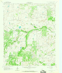 1964 Prickly Pear Branch1967 Print · USGSTexas ranchlands and petroleum country meet in the 1960s along the Archer Co and Young Co line. Trace the 20th-century energy landscape through a dense Oil Field and its many Oil Wells bordering the West Fork Trinity River.2 unique versions available
 - 1964 Map of Lake Olney, 1967 Print
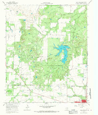 1964 Lake Olney1967 Print · USGSArcher and Young counties in the mid-1960s show a North Texas landscape shaped by oil production and reservoir expansion. Researchers can trace rural genealogy at St Luke Cem or explore the mid-century infrastructure of Lake Olney and the surrounding oil fields.
 - 1966 Map of Mankins, 1968 Print
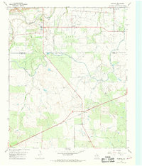 1966 Mankins1968 Print · USGSNorthern Archer County in the mid-sixties is defined by the energy and water infrastructure of the day. Researchers can trace the massive K M A Oil Field and the rail corridors of the Fort Worth and Denver near Mankins.
 - 1966 Map of Holliday, 1968 Print
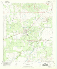 1966 Holliday1968 Print · USGSNorth Texas oil and rail culture intersect in the 1960s as industrial development spreads across the Wichita and Archer County line. Genealogists and historians can trace the Fort Worth and Denver line, the Holliday townsite, and several active petroleum zones like the Daume Oil Field.
 - 1966 Map of Lake Diversion, 1968 Print
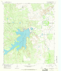 1966 Lake Diversion1968 Print · USGSThe North Texas plains meet the industrial waterworks of the mid-sixties in this survey of the Archer and Wichita county lines. Trace the local economy through petroleum landmarks like the Potts Oil Field and the technical operations at the Dundee Fish Hatchery.
 - 1966 Map of Lake Kickapoo, 1968 Print
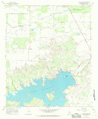 1966 Lake Kickapoo1968 Print · USGSArcher County ranching and energy production intersect at Lake Kickapoo during the mid-sixties. Local researchers can trace the development of the settlement at Black Flat, identify numerous oil wells, and locate old Campground sites along the water.
Showing maps 1-25 of 28
Top cities of Archer County
- Archer City historical maps
- Holliday historical maps
- Lakeside City historical maps
- Scotland historical maps
- Windthorst historical maps
- Megargel historical maps
Frequently asked questions
- What are the different types of historical maps available for Archer County?
- What is the oldest map of Archer County?
- Where can I purchase historical maps of Archer County for my home or office?
- Where can I download high-res historical maps of Archer County?
- Are there historical topographic maps available for Archer County?
- Is there historical aerial imagery available for Archer County?
- Where are historical maps of Archer County sourced from?