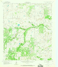
1964 Map of Prickly Pear Branch
USGS Topo · Published 1967About this map
The winding West Fork Trinity River anchors this mid-century survey along the border of Archer Co and Young Co. In the early 1960s, the landscape was defined by the intersection of riparian geography and energy extraction, characterized by an extensive Oil Field and scattered Oil Wells across the northern sections. Numerous drainages, including Burns Creek and the eponymous Prickly Pear Branch, weave through the terrain toward the Trinity River, reflecting the natural hydrology that shaped local land use and boundaries. The placement of well sites alongside these watercourses illustrates the spatial relationship between Texas's 20th-century petroleum industry and its physical environment.
Find a feature on this map
6 named features on this map. Tap any name to fly to it.
Don’t see what you’re looking for? This feature index may not catch every label — zoom into the map to look around manually.
Map Details
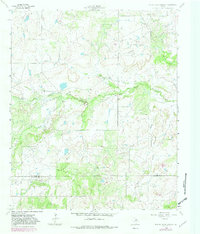
Editions of this 1964 Prickly Pear Branch Map
2 editions found
Other maps of this area

1931 · Archer City
USGS Topo · 1:62,500

1954 · Wichita Falls
USGS Topo · 1:250,000

1958 · Wichita Falls
USGS Topo · 1:250,000

1962 · Windthorst
USGS Topo · 1:24,000

1963 · Archer City East
USGS Topo · 1:24,000

1964 · Bobcat Bluff
USGS Topo · 1:24,000

1964 · Darnell Branch
USGS Topo · 1:24,000

1964 · True
USGS Topo · 1:24,000

1964 · Loving
USGS Topo · 1:24,000

1964 · Archer City West
USGS Topo · 1:24,000