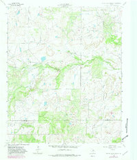
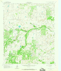
1964 Map of Prickly Pear Branch
USGS Topo · Published 1982About this map
The West Fork Trinity River winds through the heart of the north Texas plains in this detailed study of the border between Archer and Young counties. During the early 1960s, the landscape was defined by an active petroleum economy, illustrated by a sprawling Oil Field and numerous scattered Oil Wells across the northern reaches of the quadrangle. A solitary Landing Strip sits atop the higher ground between drainage systems, serving as a primary transit point for the region's ranching and industrial operations.
Find a feature on this map
8 named features on this map. Tap any name to fly to it.
Don’t see what you’re looking for? This feature index may not catch every label — zoom into the map to look around manually.
Map Details
Editions of this 1964 Prickly Pear Branch Map
2 editions found
Other maps of this area

1931 · Archer City
USGS Topo · 1:62,500

1954 · Wichita Falls
USGS Topo · 1:250,000

1958 · Wichita Falls
USGS Topo · 1:250,000

1962 · Windthorst
USGS Topo · 1:24,000

1963 · Archer City East
USGS Topo · 1:24,000

1964 · Bobcat Bluff
USGS Topo · 1:24,000

1964 · Darnell Branch
USGS Topo · 1:24,000

1964 · True
USGS Topo · 1:24,000

1964 · Loving
USGS Topo · 1:24,000

1964 · Archer City West
USGS Topo · 1:24,000