Old Maps of Scotland, Texas for Hiking & Exploration
Hike through history with 16 historic maps of Scotland. Explore old trails, ghost towns, and forgotten backroads — perfect for outdoor adventurers and local explorers.
- Rediscover forgotten places: Map out old mining camps, roads, and footpaths that no longer exist on modern maps.
- Layer with modern tools: Combine with LiDAR or satellite views to plan hikes through historical terrain.
- Made for exploration: Popular among hikers, overlanders, and local history lovers.
Use these maps to find adventure and explore the hidden past of Scotland.
Scotland, TX maps
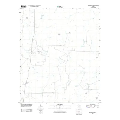
(16)- 1931 Map of Archer City
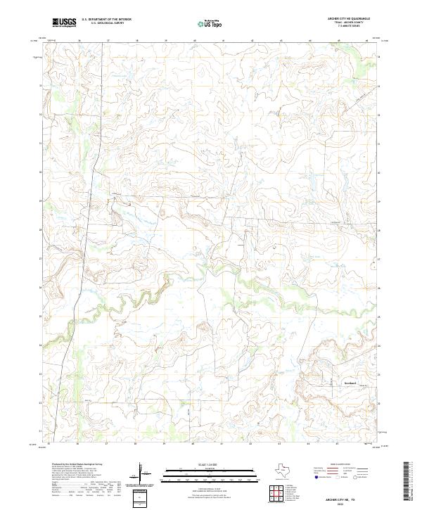
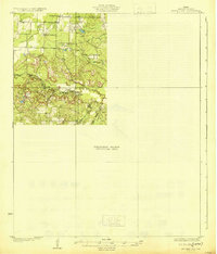 1931 Archer City1931 Print · USGSArcher County ranching and early oil country are captured here in the late twenties, showing the northern settlement patterns before extensive modernization. Researchers can trace the location of Geraldine School and the remote crossroads of Dads Corner along the Little Wichita River.2 unique versions available
 - 1954 Map of Wichita Falls, 1966 Print
 1954 Wichita Falls1966 Print · USGSNorth Texas in the mid-fifties is captured here as a landscape of expanding oil fields and vital rail corridors. Genealogists and historians can trace family roots through rural landmarks like Bacon Chapel and the rail-side growth of Seymour and Archer City.3 unique versions available
 - 1958 Map of Wichita Falls
 1958 Wichita Falls1958 Print · USGSNorth Texas during the late fifties reveals a landscape defined by the booming petroleum industry and established rail hubs. Researchers can trace the development of Wichita Falls and discover rural landmarks like Barton's Chapel or the Hull-Silk Oil Field.
 - 1963 Map of Scotland, 1964 Print
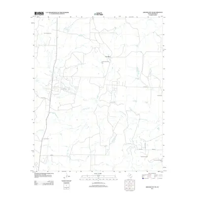
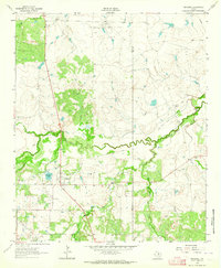 1963 Scotland1964 Print · USGSScotland and the Archer County ranchlands are captured here in the early sixties, showing a landscape shaped by petroleum and old rail lines. Trace the Old Railroad Grade and find historic sites like Lake Creek Ch and the Bridwell Ranch.2 unique versions available
 - 1963 Map of Archer City NE, 1964 Print
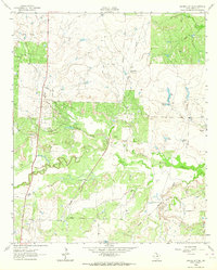 1963 Archer City NE1964 Print · USGSArcher County ranching and oil production are in full swing during the early sixties as the Little Wichita River cuts through the plains. Researchers can trace historic property boundaries like the Mule Shoe Ranch and the path of the Old Railroad Grade.
 - 1985 Map of Wichita Falls
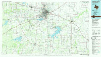 1985 Wichita Falls1985 Print · USGSWichita Falls and the surrounding North Texas oil patches are captured here during a period of established energy production and military importance. Genealogists and historians can trace family-named sites and regional hubs like Sheppard Air Force Base, Electra, and Lake Arrowhead State Park.2 unique versions available
 - 2010 Map of Archer City NE, 2010 Print
 2010 Archer City NE2010 Print · USGSCovers Scotland, including Luke Wilson, Archer County, and other nearby areas
 - 2010 Map of Scotland, 2010 Print
 2010 Scotland2010 Print · USGSCovers Scotland, including Clay County, Archer County, and other nearby areas
 - 2012 Map of Archer City NE, 2012 Print
 2012 Archer City NE2012 Print · USGSCovers Scotland, including Luke Wilson, Archer County, and other nearby areas
 - 2012 Map of Scotland, 2012 Print
 2012 Scotland2012 Print · USGSCovers Scotland, including Clay County, Archer County, and other nearby areas
 - 2016 Map of Archer City NE, 2016 Print
 2016 Archer City NE2016 Print · USGSCovers Scotland, including Luke Wilson, Archer County, and other nearby areas
 - 2016 Map of Scotland, 2016 Print
 2016 Scotland2016 Print · USGSCovers Scotland, including Clay County, Archer County, and other nearby areas
 - 2019 Map of Scotland, 2019 Print
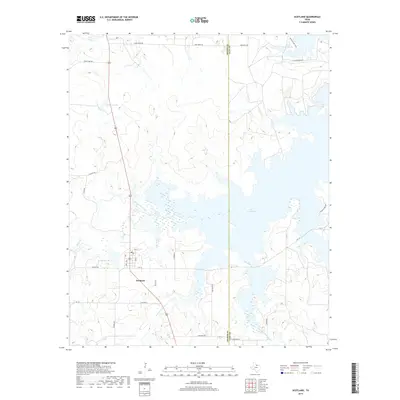 2019 Scotland2019 Print · USGSCovers Scotland, including Clay County, Archer County, and other nearby areas
 - 2019 Map of Archer City NE, 2019 Print
 2019 Archer City NE2019 Print · USGSCovers Scotland, including Luke Wilson, Archer County, and other nearby areas
 - 2022 Map of Archer City NE, 2022 Print
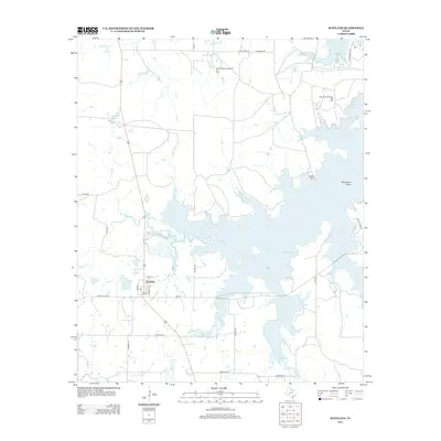
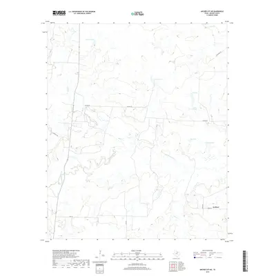
 2022 Archer City NE2022 Print · USGSIn the cattle country of North Texas, the prairie landscape is defined by the winding Little Wichita River and the rural settlement of Scotland. Researchers can trace old family ranch roads like Chalk Hill Rd and locate essential water sources like Mexican Tank and Dillards Lake.
 - 2022 Map of Scotland, 2022 Print
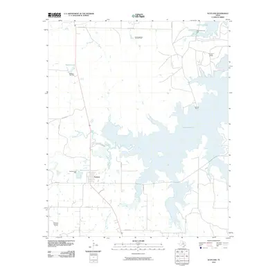
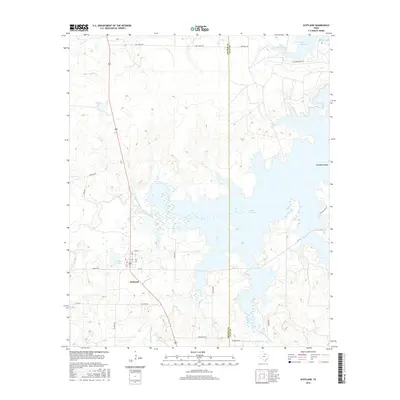
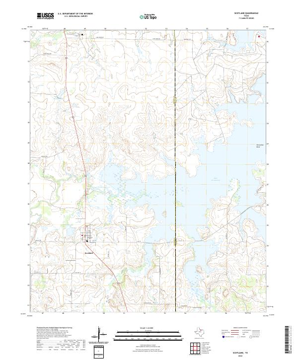 2022 Scotland2022 Print · USGSIn the ranchlands of Archer County, the community of Scotland serves as a hub near the massive Lake Arrowhead reservoir. Local historians can trace family roots at Saint Boniface Cem or explore the drainage of the Little Wichita River and W Little Post Oak Cr.
End of results
Showing maps 1-16 of 16
Top cities near Scotland
- Wichita Falls historical maps
- Archer City historical maps
- Holliday historical maps
- Lakeside City historical maps
- Windthorst historical maps
- Jolly historical maps
Frequently asked questions
- What are the different types of historical maps available for Scotland?
- What is the oldest map of Scotland?
- Where can I purchase historical maps of Scotland for my home or office?
- Where can I download high-res historical maps of Scotland?
- Are there historical topographic maps available for Scotland?
- Is there historical aerial imagery available for Scotland?
- Where are historical maps of Scotland sourced from?